Signs From Idaho
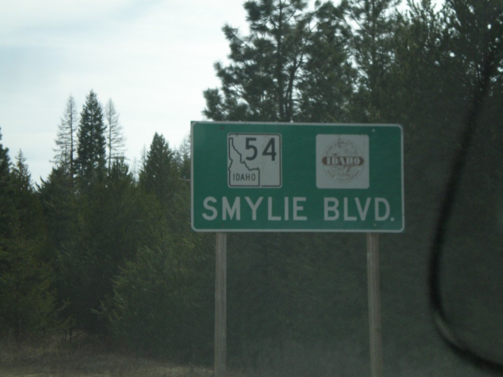
ID-54 West - Smylie Blvd
ID-54 West - Smylie Blvd. Logo next to ID-54 is for Idaho Parks and Recreation.
Taken 04-13-2008
 Bayview
Kootenai County
Idaho
United States
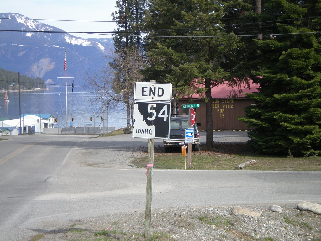
End ID-54 East
End ID-54 East in Bayview. Lake Pend Oreille is in the background.
Taken 04-13-2008
 Bayview
Kootenai County
Idaho
United States
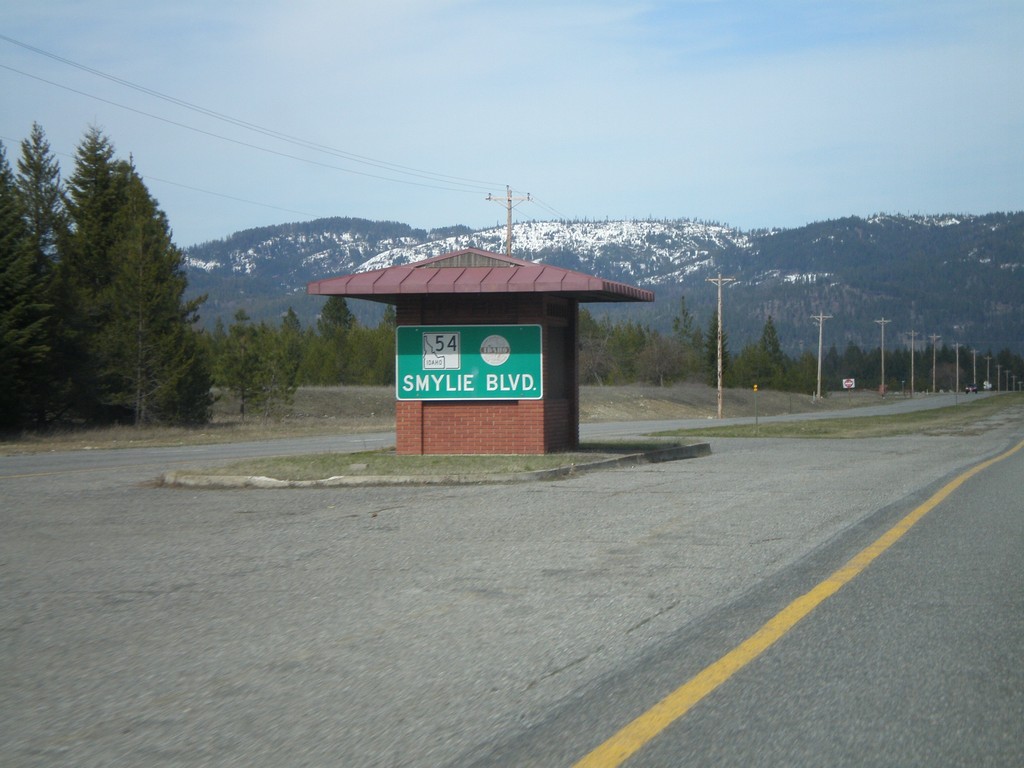
ID-54 East - Smylie Blvd.
Smylie Blvd. on ID-54 east.
Taken 04-13-2008
 Athol
Kootenai County
Idaho
United States
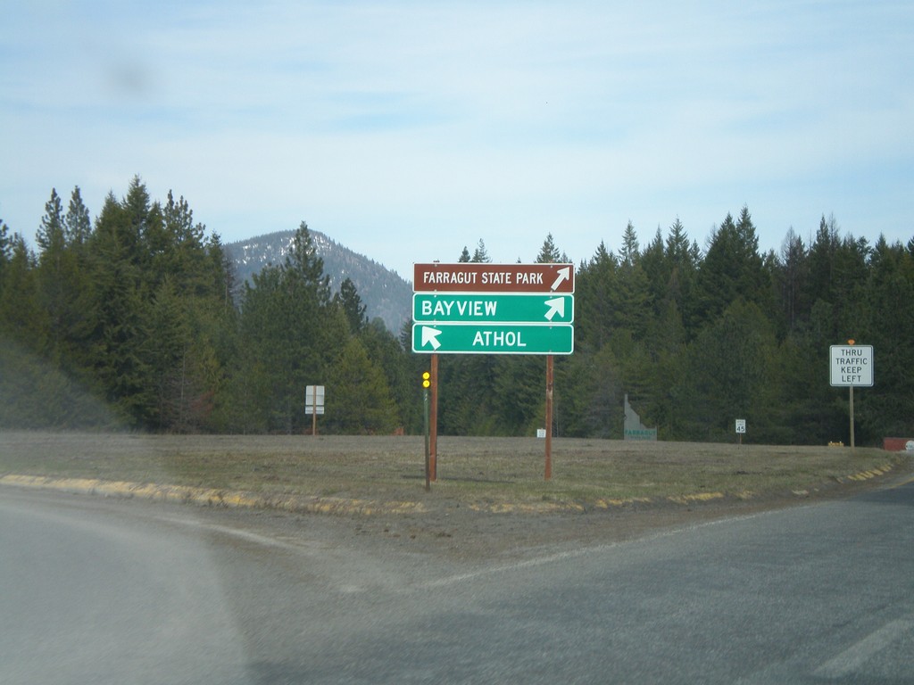
ID-54 East at Farragut SP Traffic Circle
ID-54 east at a roundabout in Farragut State Park. Through traffic stay to the right towards Bayview. West bound ID-54 traffic towards Athol stay left.
Taken 04-13-2008
 Athol
Kootenai County
Idaho
United States
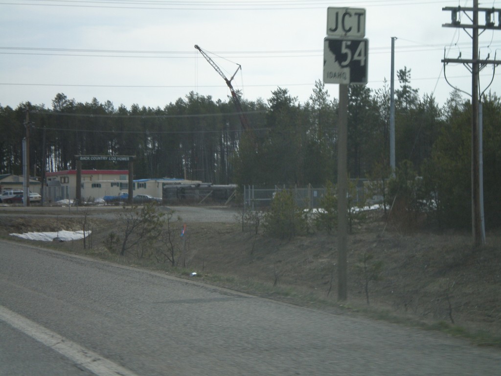
US-95 South Approaching ID-54
US-95 south approaching ID-54 jct.
Taken 04-13-2008

 Athol
Kootenai County
Idaho
United States
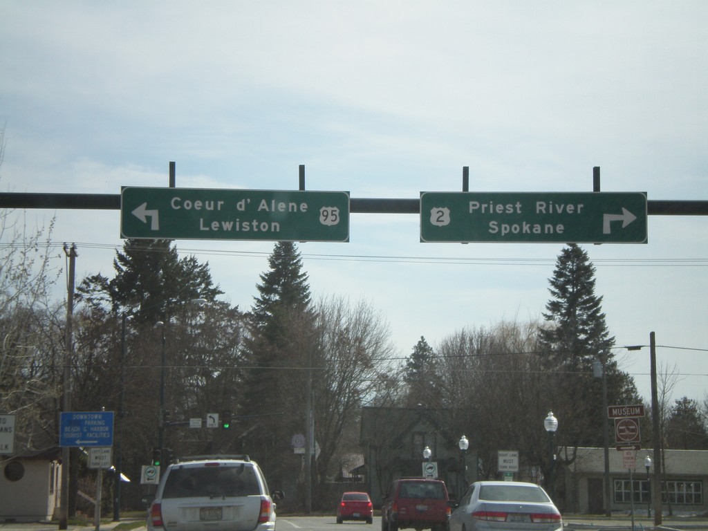
US-2 West/US-95 South at US-2/US-95 Split
US-2 West/US-95 South (5th Ave.) at US-2/US-95 split (Pine St.). Use US-2 West for Priest River and Sandpoint. Use US-95 South for Coeur d’Alene and Lewiston.
Taken 04-13-2008

 Sandpoint
Bonner County
Idaho
United States
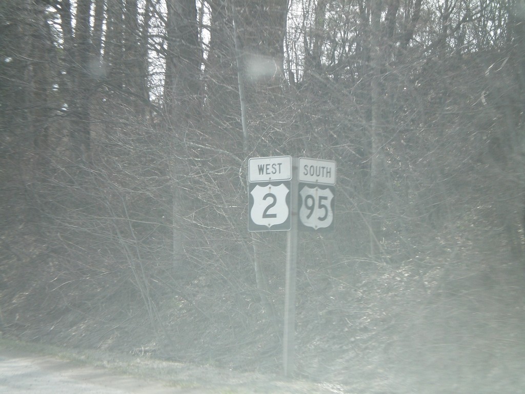
US-2 West/US-95 South - Sandpoint
US-95 South/US-2 West in Sandpoint.
Taken 04-13-2008

 Sandpoint
Bonner County
Idaho
United States
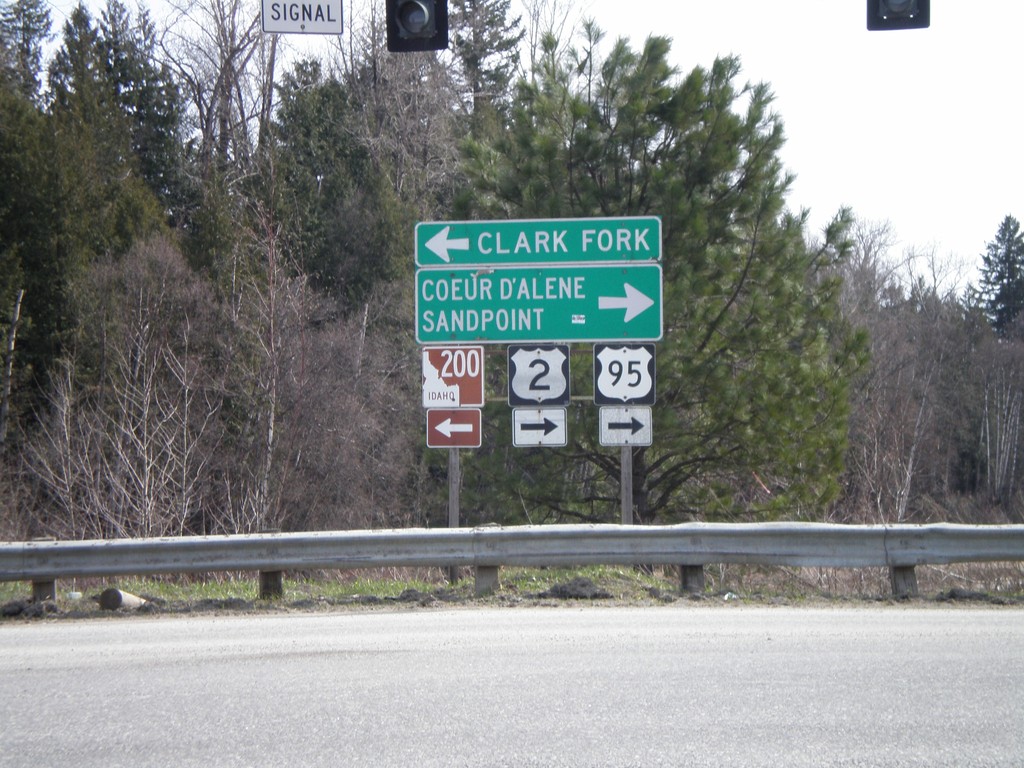
US-95 South/US-2 West at ID-200
US-95 South/US-2 West at ID-200 East to Clark Fork.
Taken 04-13-2008


 Ponderay
Bonner County
Idaho
United States
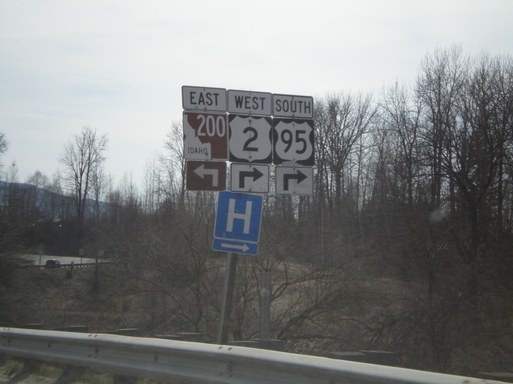
US-95 South/US-2 West Approaching ID-200
US-95 South/US-2 West approaching ID-200. US-95/US-2 traffic must turn right at the intersection.
Taken 04-13-2008


 Ponderay
Bonner County
Idaho
United States
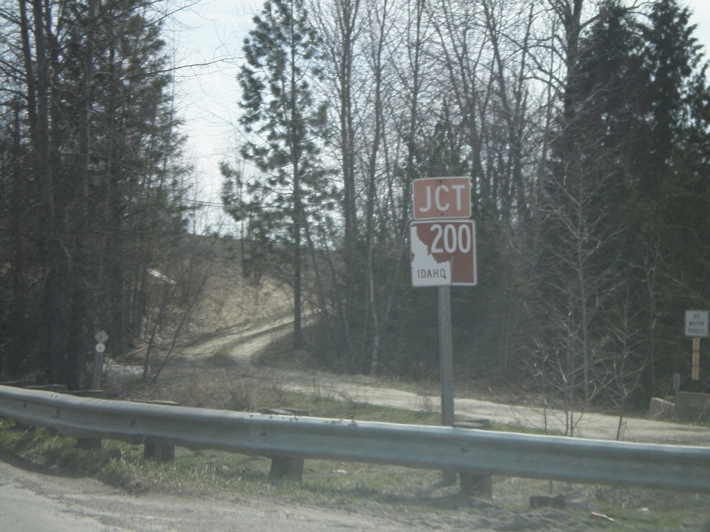
Jct. ID-200 on US-95 South/US-2 West
US-95 South/US-2 West approaching ID-200 jct.
Taken 04-13-2008


 Ponderay
Bonner County
Idaho
United States