Signs From Idaho
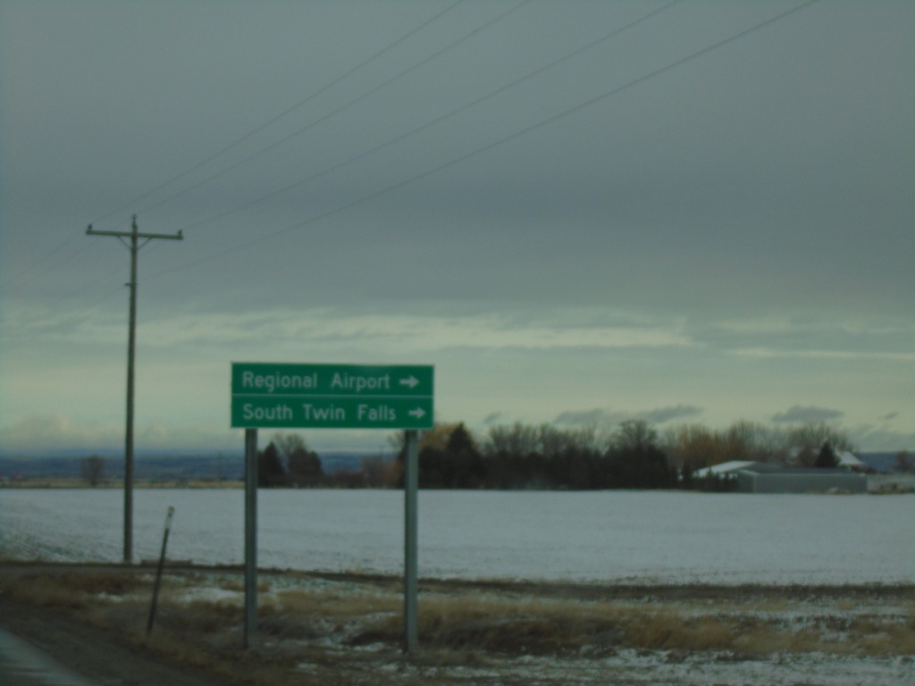
US-93 North Approaching ID-74
US-93 north approaching ID-74. Use ID-74 north for Regional Airport and South Twin Falls.
Taken 04-02-2023

 Twin Falls
 County
Idaho
United States
Twin Falls
Twin Falls County
Idaho
United States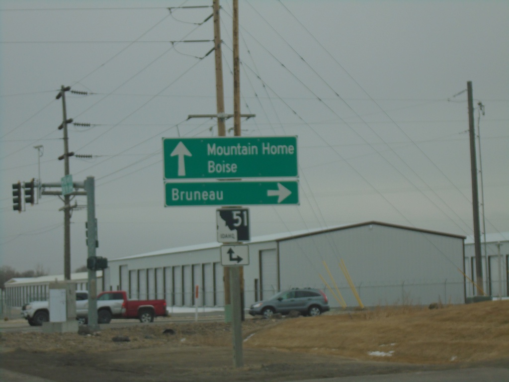
End ID-67 East At ID-51
End ID-67 east at at ID-51. Use ID-51 south for Bruneau. Use ID-51 north for Mountain Home and Boise.
Taken 03-04-2023

 Mountain Home
Elmore County
Idaho
United States
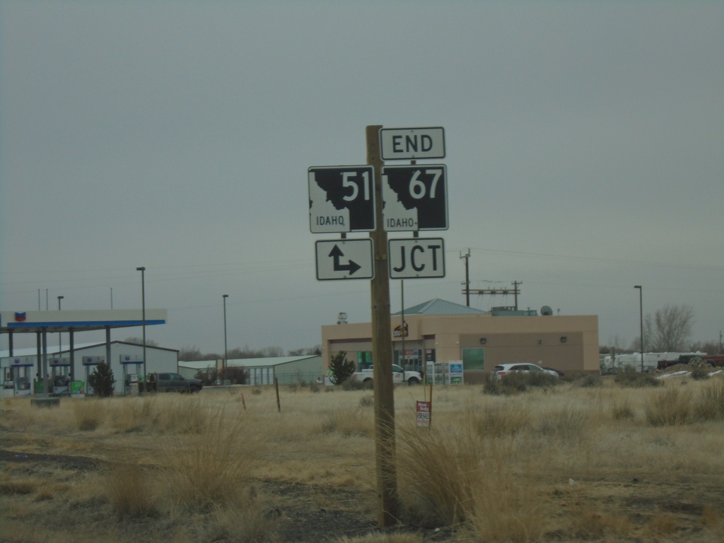
End ID-67 East at ID-51
End ID-67 east at ID-51. Turn right for ID-51 south; continue ahead for ID-51 north.
Taken 03-04-2023

 Mountain Home
Elmore County
Idaho
United States
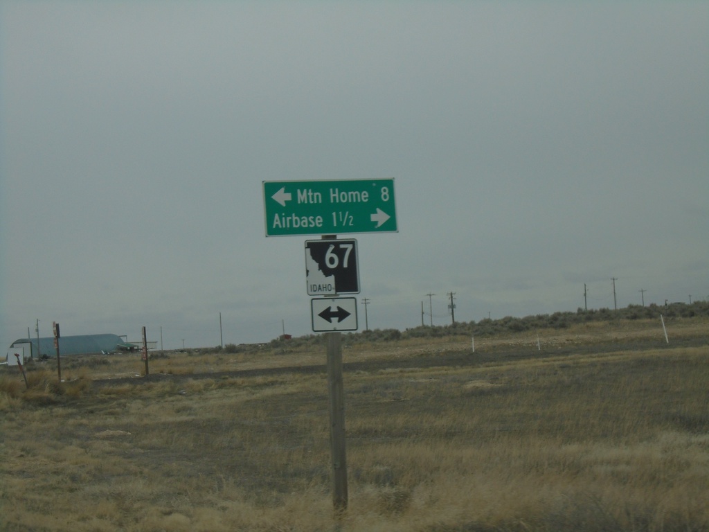
End ID-167 East at ID-67
End ID-167 east at ID-67. Use ID-67 west for the Airbase (Mountain Home AFB). Use ID-67 east for Mountain Home.
Taken 03-04-2023

 Mountain Home Air Force Base
Elmore County
Idaho
United States
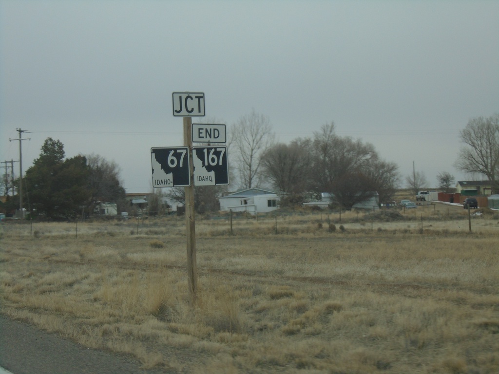
ID-167 East Approaching ID-67
ID-167 east approaching ID-67. ID-167 ends at ID-67.
Taken 03-04-2023

 Mountain Home
Elmore County
Idaho
United States
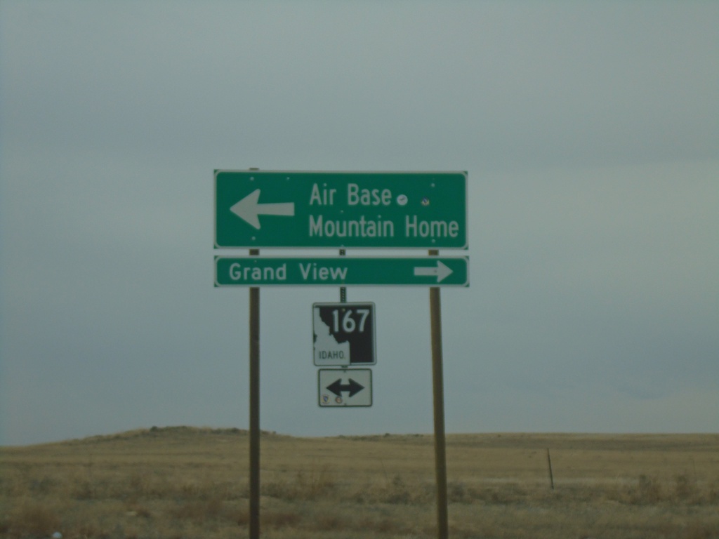
Simco Road South at ID-167
Simco Road South at ID-167. Use ID-167 West to Grand View; ID-167 East to Air Base and Mountain Home.
Taken 03-04-2023
 Mountain Home
Elmore County
Idaho
United States
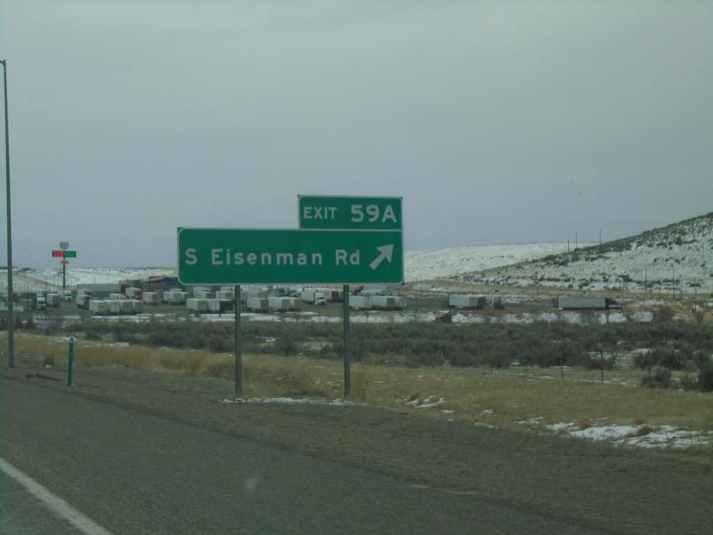
I-84 East - Exit 59A
I-84 east at Exit 59A - South Eisenman Road.
Taken 03-04-2023


 Boise
Ada County
Idaho
United States
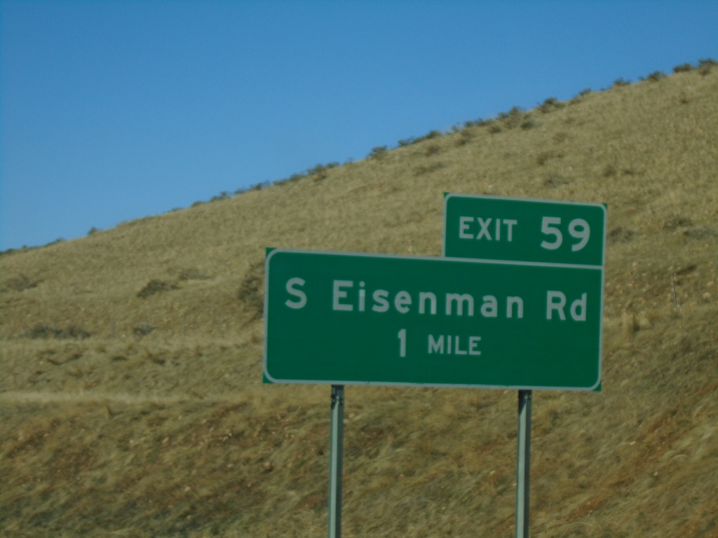
I-84 West - Exit 59
I-84 west approaching Exit 59 - S Eisenman Road.
Taken 01-01-2023


 Boise
Ada County
Idaho
United States
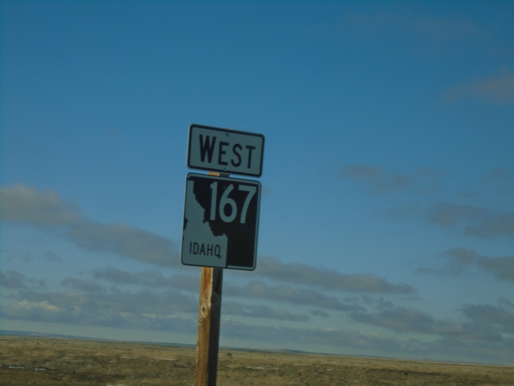
ID-167 West - Elmore County
ID-167 West in Elmore County
Taken 01-01-2023
 Mountain Home
Elmore County
Idaho
United States
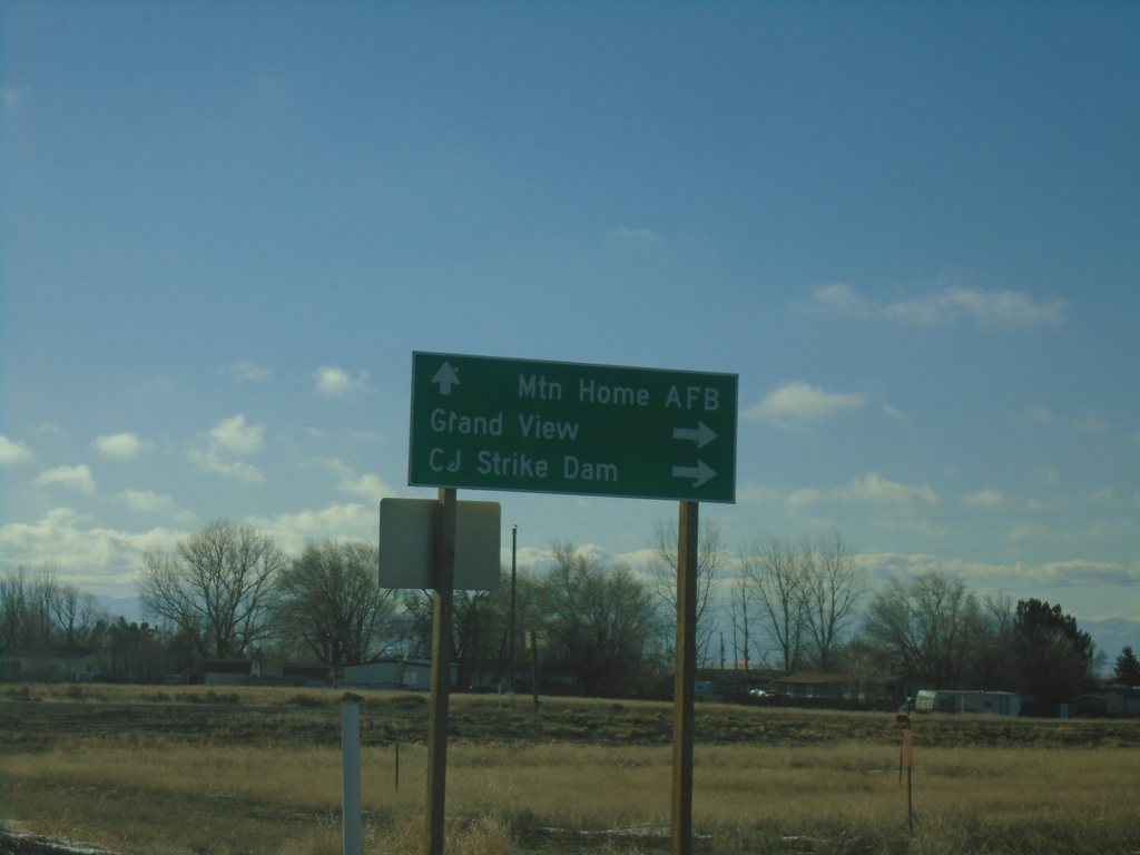
ID-67 West at ID-167
ID-67 West at ID-167. Continue on ID-67 West to Mountain Home AFB. Turn right for ID-167 to Grand View and CJ Strike Dam.
Taken 01-01-2023

 Mountain Home
Elmore County
Idaho
United States