Signs From Idaho
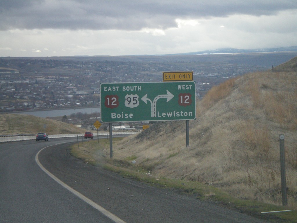
US-95 South Approaching US-12
Route diagram for US-95/US-12 junction on US-95 south. View of the Clearwater Valley and the city of Lewiston. The river in the background is the Clearwater River.
Taken 12-26-2007

 Lewiston
Nez Perce County
Idaho
United States
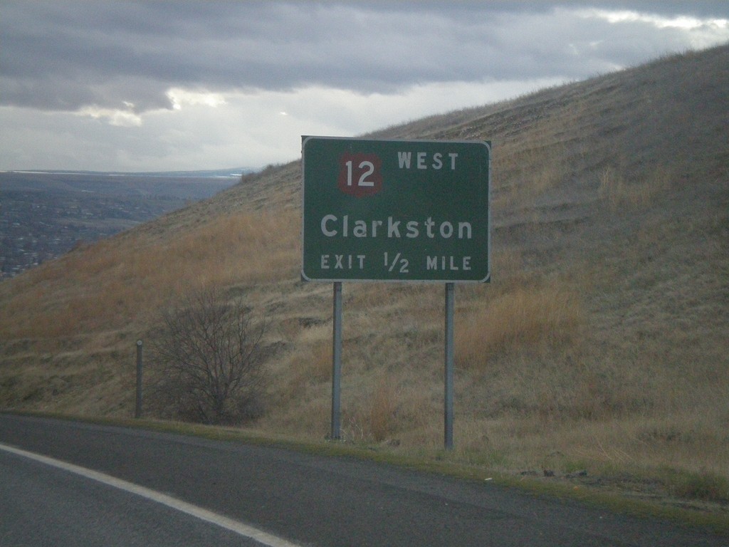
US-95 South Approaching US-12
US-95 south approaching US-12 west to Clarkston (Washington).
Taken 12-26-2007
Lewiston
Nez Perce County
Idaho
United States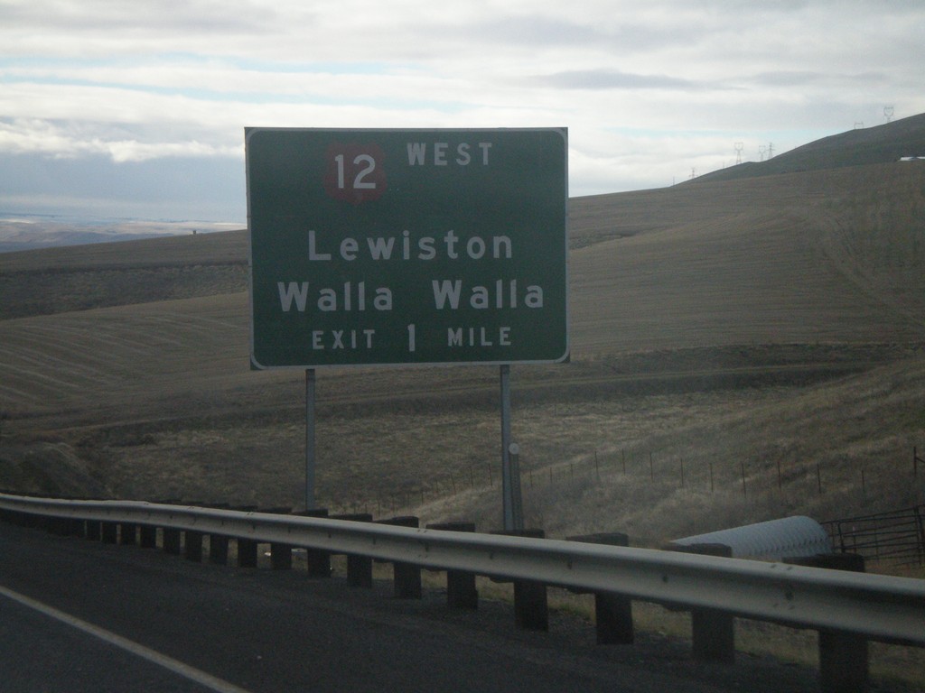
US-95 South Approaching US-12
US-95 south on the Lewiston Hill approaching US-12 west to Lewiston/Walla Walla.
Taken 12-26-2007
Lewiston
Nez Perce County
Idaho
United States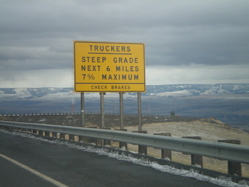
US-95 South - Lewiston Hill Trucker Warning
Trucker information on US-95 south at the top of Lewiston Hill. Lewiston Hill goes from 2,756 feet at the summit to 738 feet in Lewiston in about 6 miles.
Taken 12-26-2007
Genesee
Nez Perce County
Idaho
United States
Welcome To Idaho - US-195 South
Welcome to Idaho on US-195 south. US-195 ends at US-95 just south of here.
Taken 12-26-2007
 Lewiston
Nez Perce County
Idaho
United States
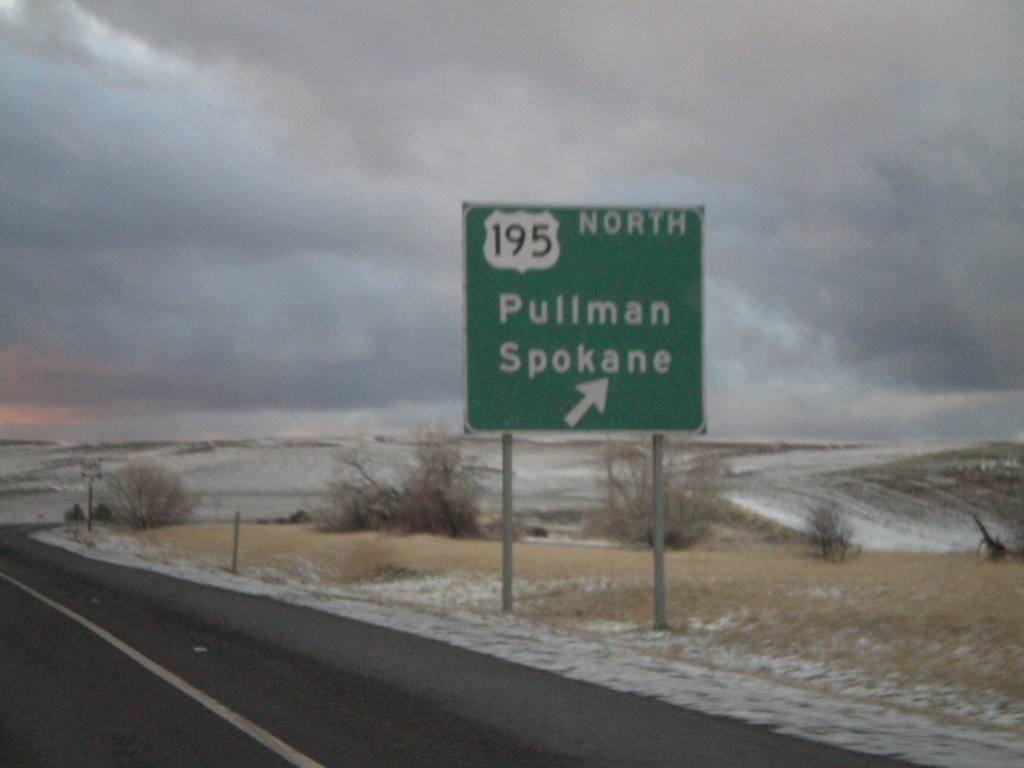
US-95 North At US-195
US-95 north approaching US-195 to Pullman and Spokane. US-195 leaves Idaho less than a mile of this junction.
Taken 12-24-2007
Genesee
Nez Perce County
Idaho
United States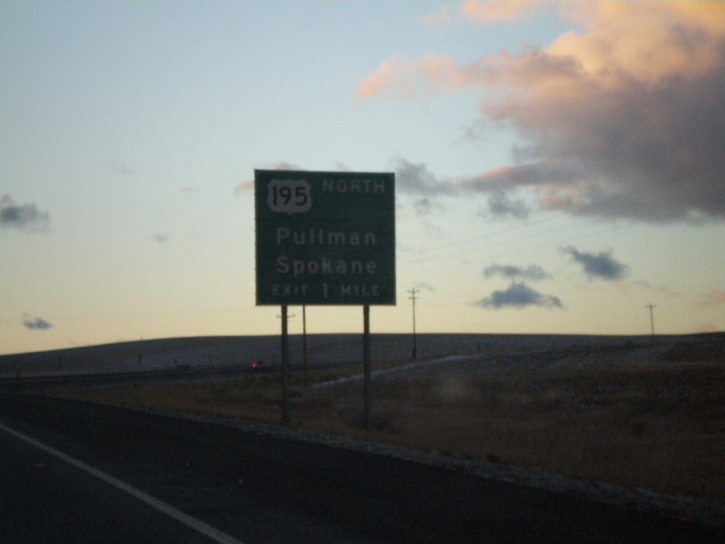
US-95 North Approaching US-195
US-95 north approaching US-195 north to Pullman and Spokane.
Taken 12-24-2007
Genesee
Nez Perce County
Idaho
United States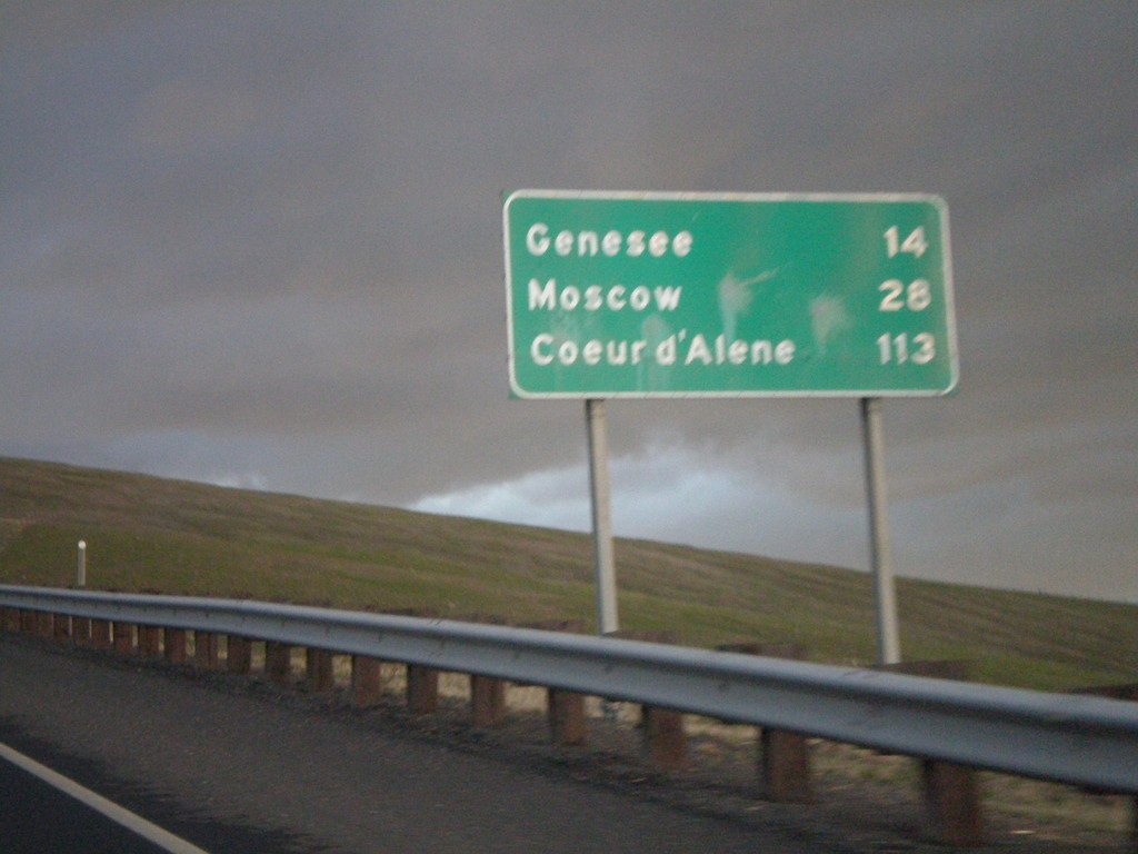
US-95 North - Distance Marker
Distance Marker on US-95 north to Genesee, Moscow, and Coeur d’Alene on Lewiston Hill.
Taken 12-24-2007
Lewiston
Nez Perce County
Idaho
United States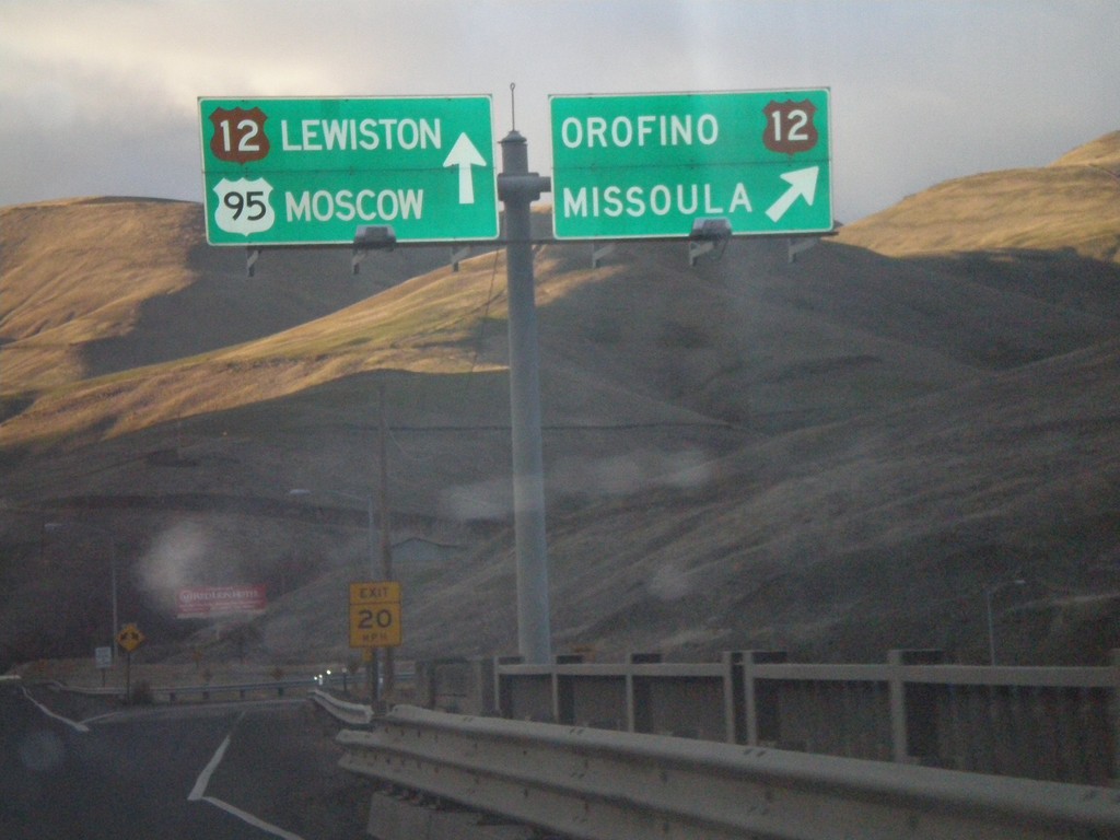
US-95 North at US-12 Junction
US-95 north at US-12 to Orofino and Missoula. US-12 follows US-95 north to Lewiston.
Taken 12-24-2007
Lewiston
Nez Perce County
Idaho
United States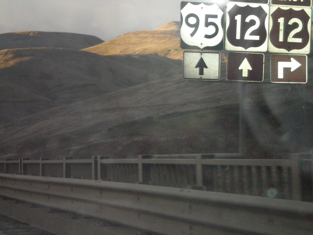
US-95 North Approaching US-12
US-95 north approaching US-12. The US-12 sign is brown because it is part of the Idaho’s Northwest Passage Scenic Byway - Clearwater Canyon.
Taken 12-24-2007
North Lapwai
Nez Perce County
Idaho
United States