Signs From Idaho
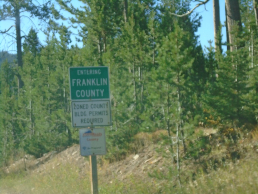
ID-36 West - Franklin County
Entering Franklin County on ID-36 west.
Taken 09-25-2021
 Montpelier
Franklin County
Idaho
United States
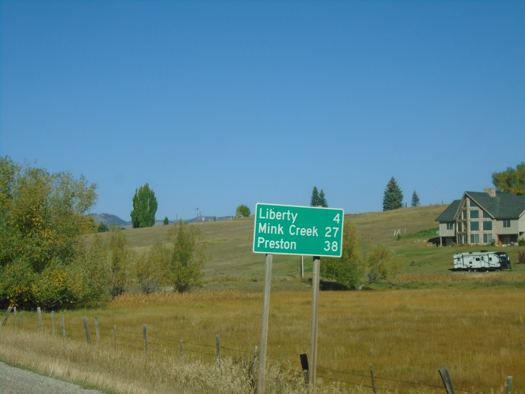
ID-36 West - Distance Marker
Distance marker on ID-36 west. Distance to Liberty, Mink Creek, and Preston.
Taken 09-25-2021
 Ovid
Bear Lake County
Idaho
United States
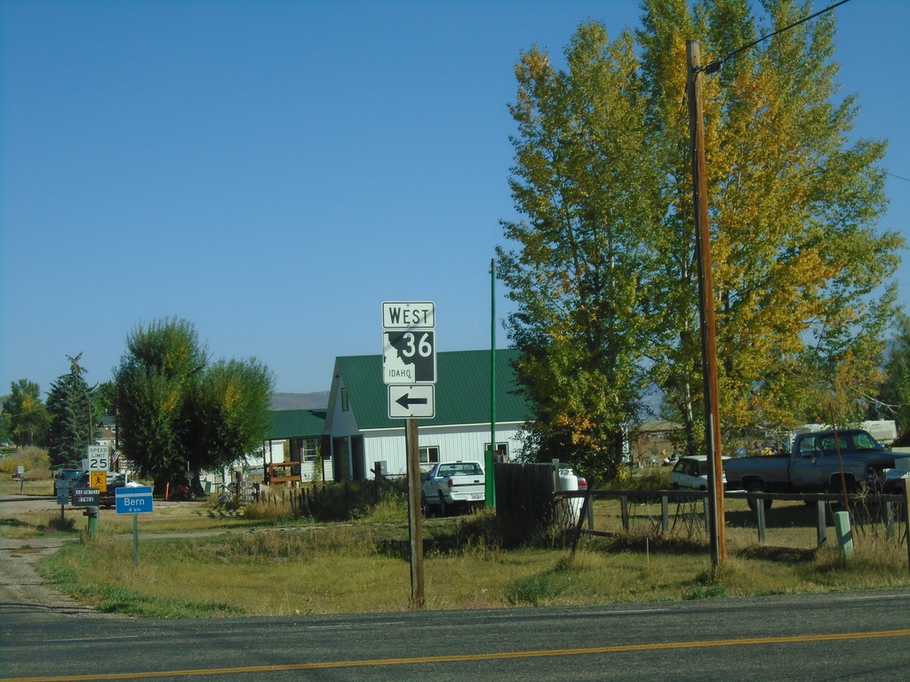
US-89 North at ID-36
US-89 North at ID-36 in Bear Lake County. Turn left for ID-36 west.
Taken 09-25-2021

 Ovid
Bear Lake County
Idaho
United States
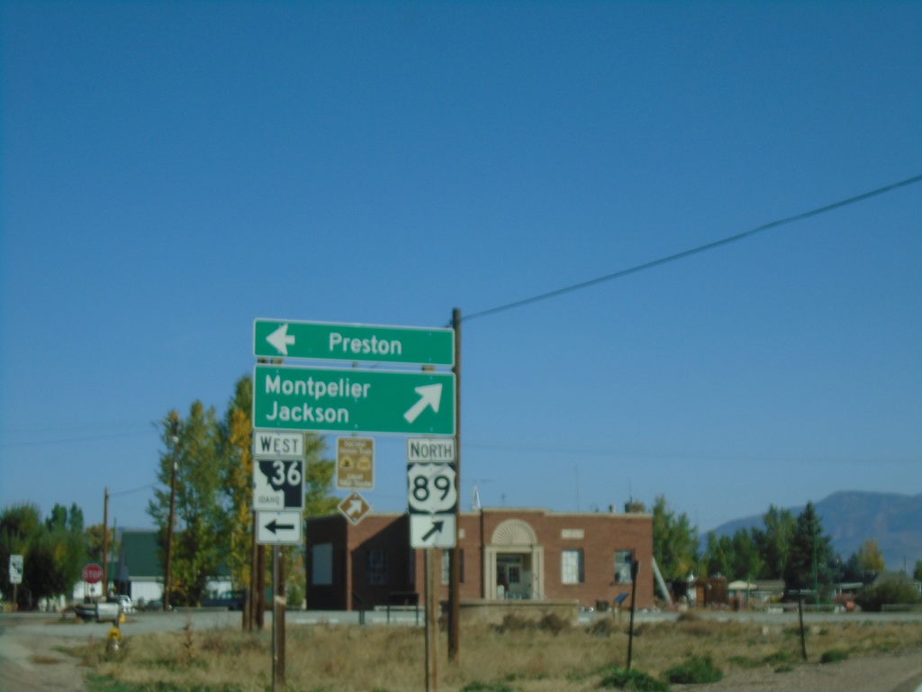
US-89 North at ID-36
US-89 North at ID-36. Merge right to continue north on US-89 towards Montpelier and Jackson (Wyoming). Use ID-36 West for Preston.
Taken 09-25-2021

 Ovid
Bear Lake County
Idaho
United States
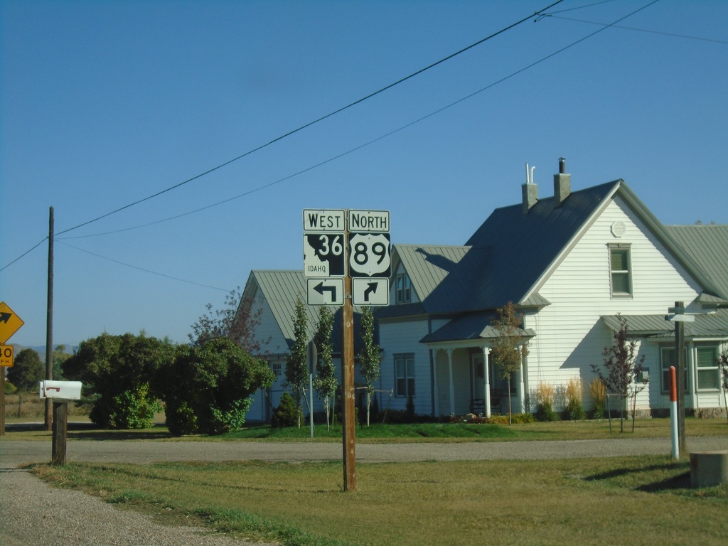
US-89 North Approaching ID-36
US-89 North approaching ID-36 West in Bear Lake County.
Taken 09-25-2021

 Ovid
Bear Lake County
Idaho
United States
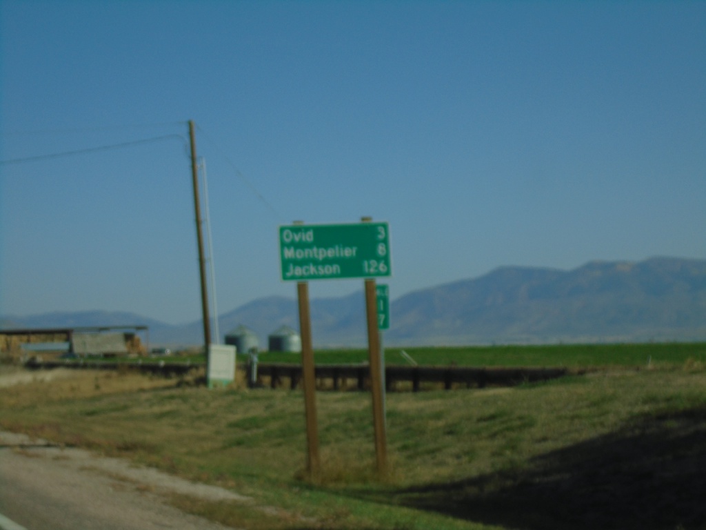
US-89 North - Distance Marker
Distance marker on US-89 north. Distance to Ovid, Montpelier, and Jackson (Wyoming).
Taken 09-25-2021
 Paris
Bear Lake County
Idaho
United States
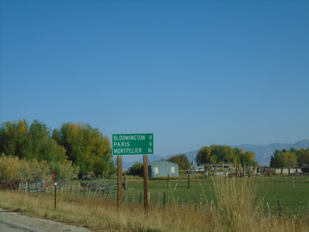
US-89 North - Distance Marker
Distance marker US-89 North. Distance to Bloomington, Paris, and Montpelier.
Taken 09-25-2021
 Saint Charles
Bear Lake County
Idaho
United States
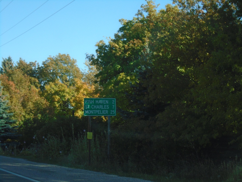
US-89 North - Distance Marker
Distance marker on US-89 north. Distance to Fish Haven, St. Charles, and Montpelier.
Taken 09-25-2021
 Fish Haven
Bear Lake County
Idaho
United States
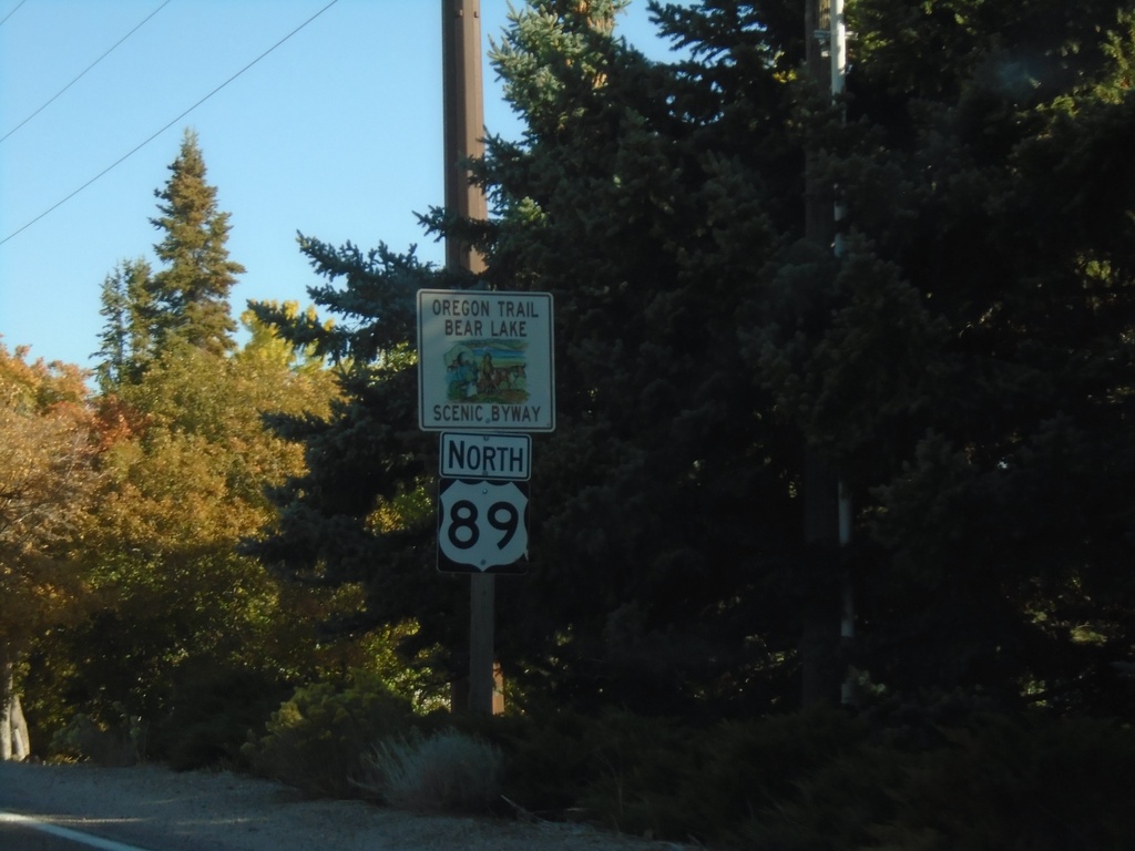
US-89 North - Oregon Trail - Bear Lake Scenic Byway
Oregon Trail - Bear Lake Scenic Byway on US-89 North
Taken 09-25-2021
 Fish Haven
Bear Lake County
Idaho
United States
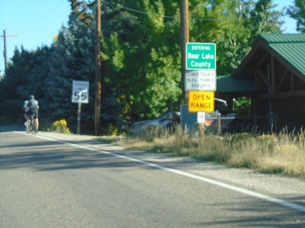
US-89 North - Bear Lake County
Entering Bear Lake County on US-89 North.
Taken 09-25-2021
 Fish Haven
Bear Lake County
Idaho
United States