Signs From Idaho
ID-33 East - Sugar City
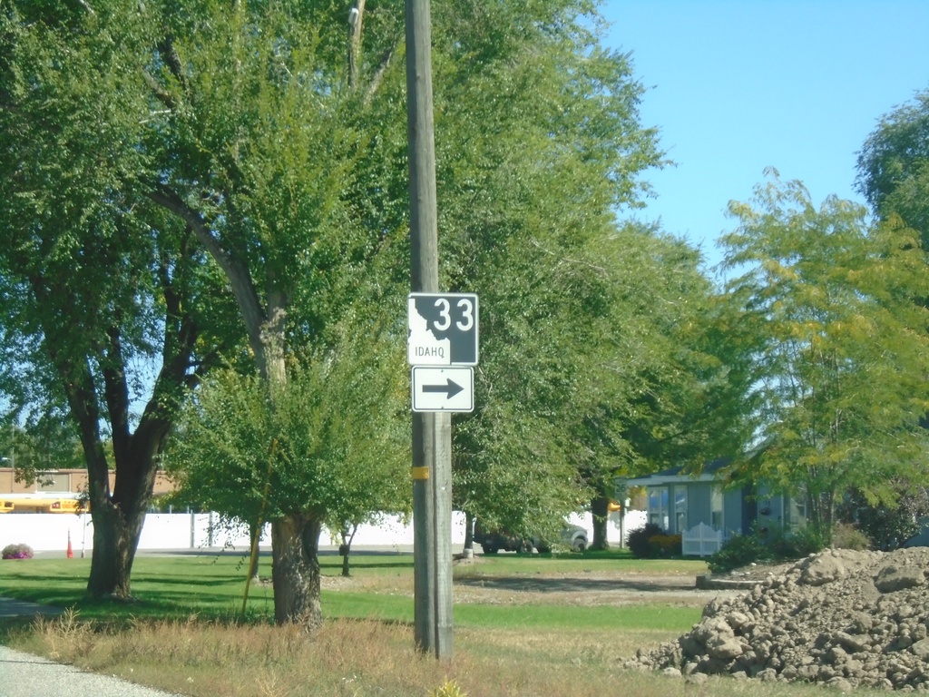
ID-33 east in Sugar City. Turn right to continue on ID-33.
Taken 09-24-2021
 Sugar City
Madison County
Idaho
United States
Sugar City
Madison County
Idaho
United States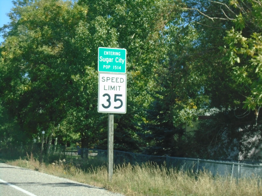
ID-33 East - Sugar City
Entering Sugar City on ID-33 East. Speed Limit 35.
Taken 09-24-2021
Sugar City
Madison County
Idaho
United States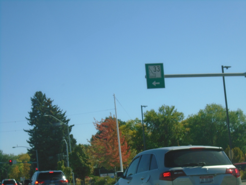
ID-33 East - Rexburg
ID-33 east (W Main St.) in downtown Rexburg. Turn left on N 2nd St. to continue on ID-33.
Taken 09-24-2021
Rexburg
Madison County
Idaho
United States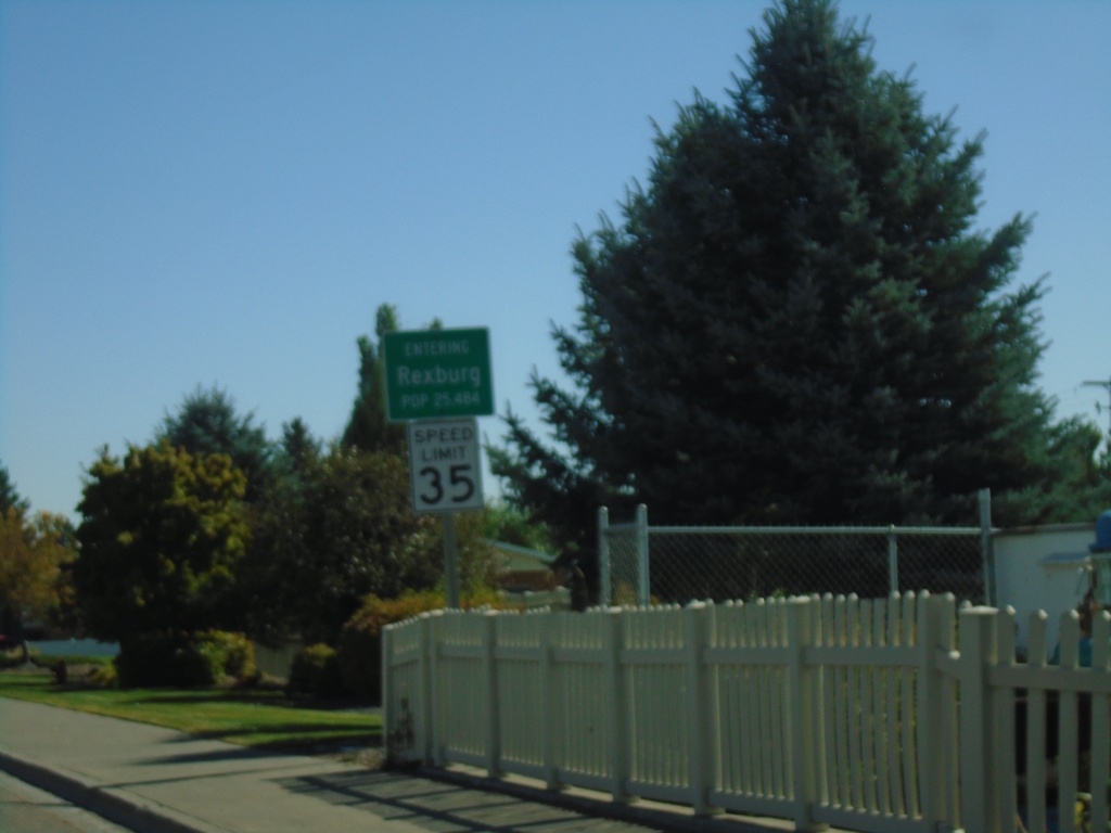
ID-33 East - Entering Rexburg
Entering Rexburg on ID-33 East (W Main St.). Rexburg is the county seat of Madison County.
Taken 09-24-2021
Rexburg
Madison County
Idaho
United States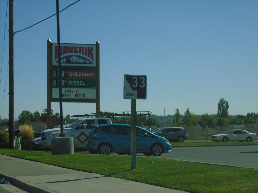
ID-33 East - Rexburg
ID-33 East on W Main St. in Rexburg
Taken 09-24-2021
Rexburg
Madison County
Idaho
United States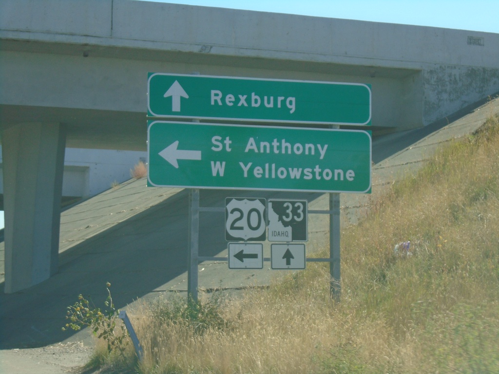
ID-33 East at US-20 East
ID-33 east at US-20 east. Use US-20 east for St. Anthony and West Yellowstone (Montana). Continue east on ID-33 for downtown Rexburg.
Taken 09-24-2021
 Rexburg
Madison County
Idaho
United States
Rexburg
Madison County
Idaho
United States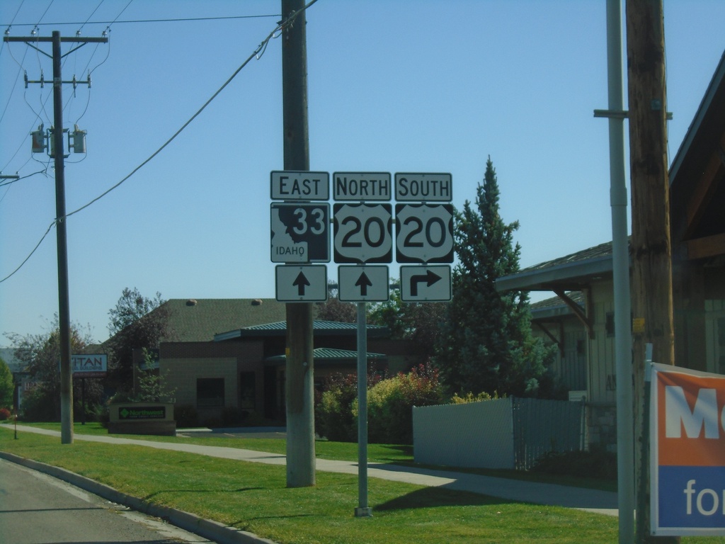
ID-33 East Approaching US-20
ID-33 east approaching US-20 in Rexburg.
Taken 09-24-2021
Rexburg
Madison County
Idaho
United States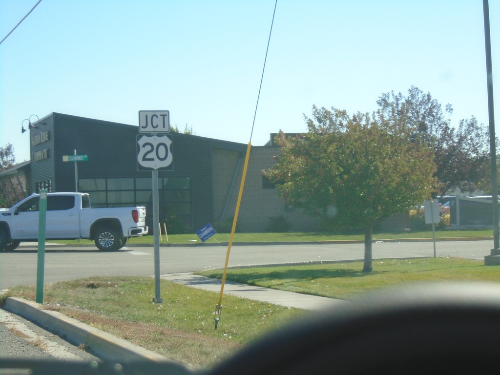
ID-33 East Approaching US-20
ID-33 east approaching US-20 in Rexburg.
Taken 09-24-2021
Rexburg
Madison County
Idaho
United States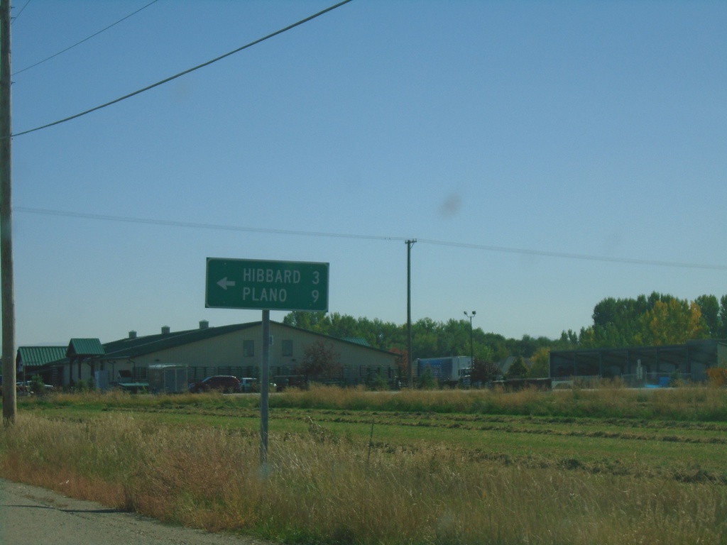
ID-33 East at N 3000 West
ID-33 east at N 3000 West to Hibbard and Plano.
Taken 09-24-2021
Rexburg
Madison County
Idaho
United States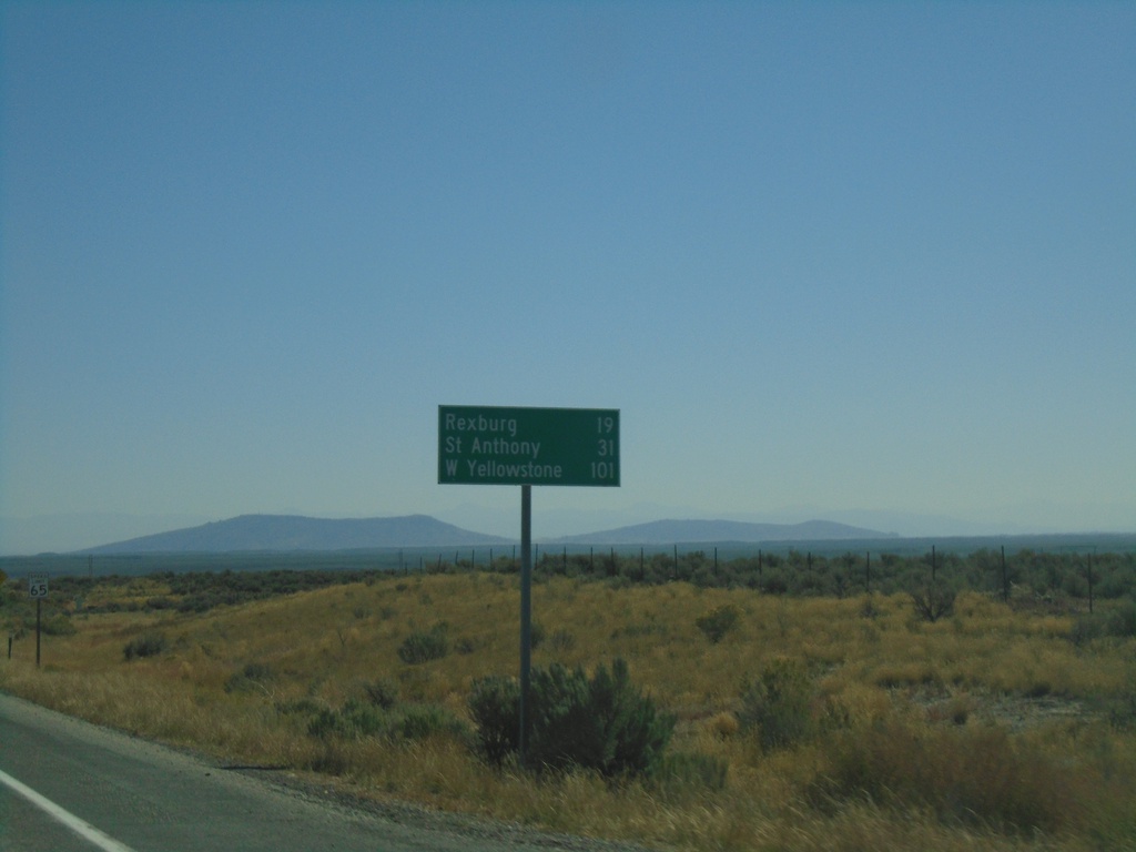
ID-33 East - Distance Marker
Distance marker on ID-33 East. Distance to Rexburg, St. Anthony (via US-20 East), and West Yellowstone (Montana via US-20 East).
Taken 09-24-2021
Hamer
Jefferson County
Idaho
United States