Signs From Idaho
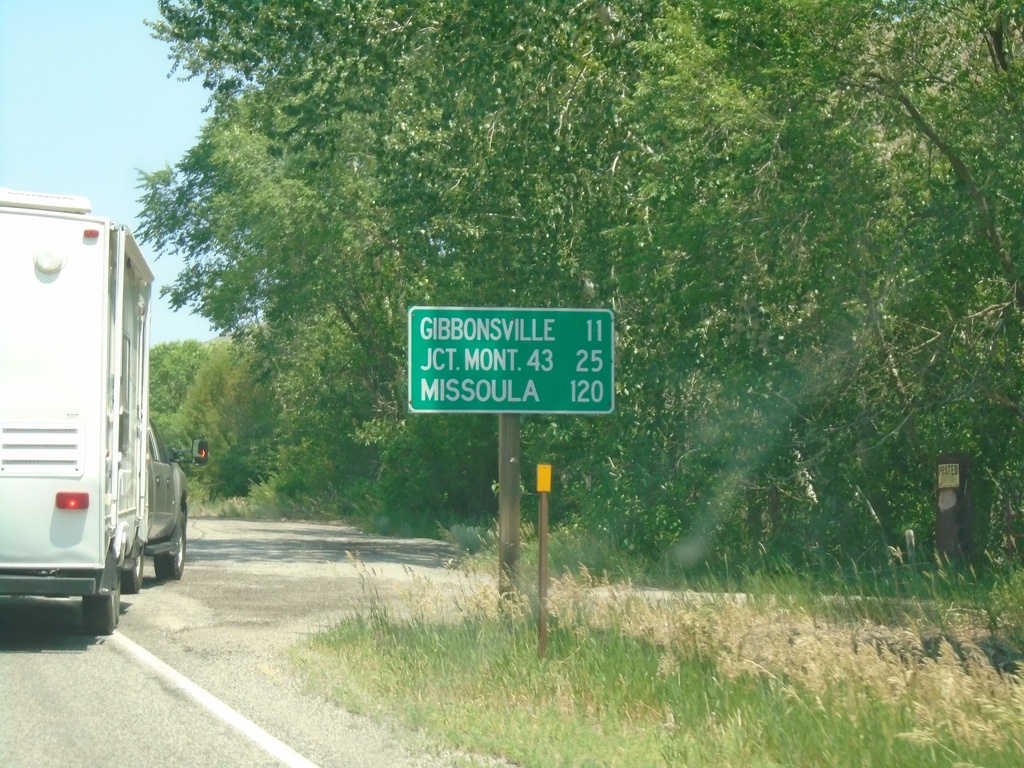
US-93 North - Distance Marker
Distance marker on US-93 north. Distance to Gibbonsville, Jct. Mont. 43 (at Lost Trail Pass), and Missoula (Montana).
Taken 07-02-2021
 North Fork
Lemhi County
Idaho
United States
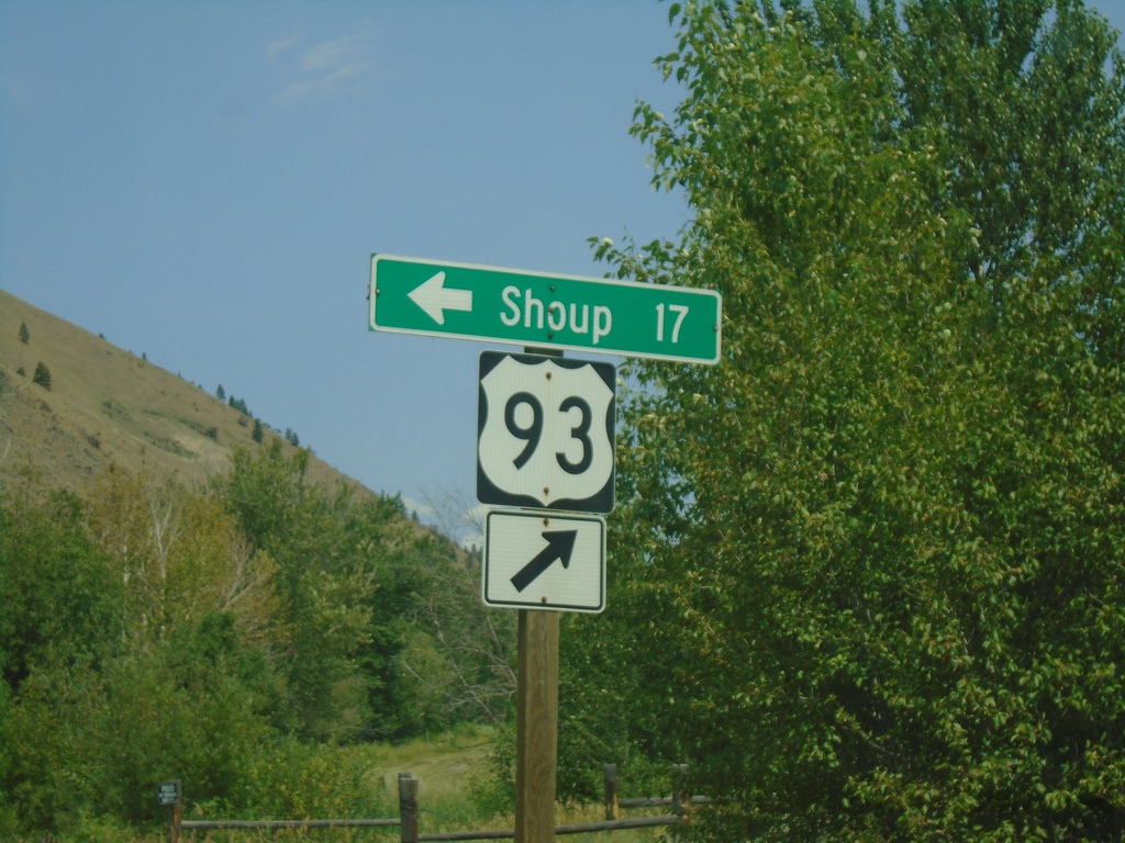
US-93 North - Shoup Jct.
US-93 north at Salmon River Road Jct. to Shoup. The Salmon River heads west here.
Taken 07-02-2021
 North Fork
Lemhi County
Idaho
United States
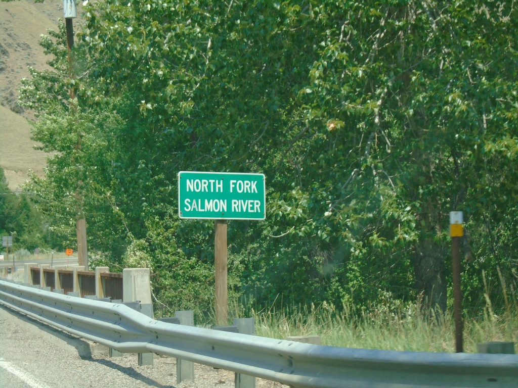
US-93 North - North Fork Salmon River
US-93 North at North Fork Salmon River bridge.
Taken 07-02-2021
 North Fork
Lemhi County
Idaho
United States
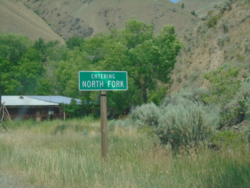
US-93 North - North Fork
Entering North Fork on US-93 north.
Taken 07-02-2021
 North Fork
Lemhi County
Idaho
United States
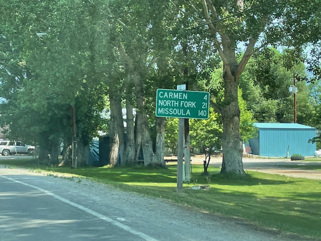
US-93 North - Distance Marker
Distance marker on US-93 north. Distance to Carmen, North Fork, and Missoula (Montana).
Taken 07-02-2021
 Salmon
Lemhi County
Idaho
United States
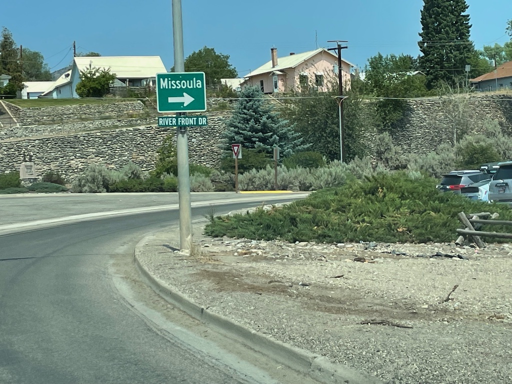
US-93 North - Salmon
US-93 North in Salmon. Turn right to continue north on US-93 towards Missoula (Montana).
Taken 07-02-2021
 Salmon
Lemhi County
Idaho
United States
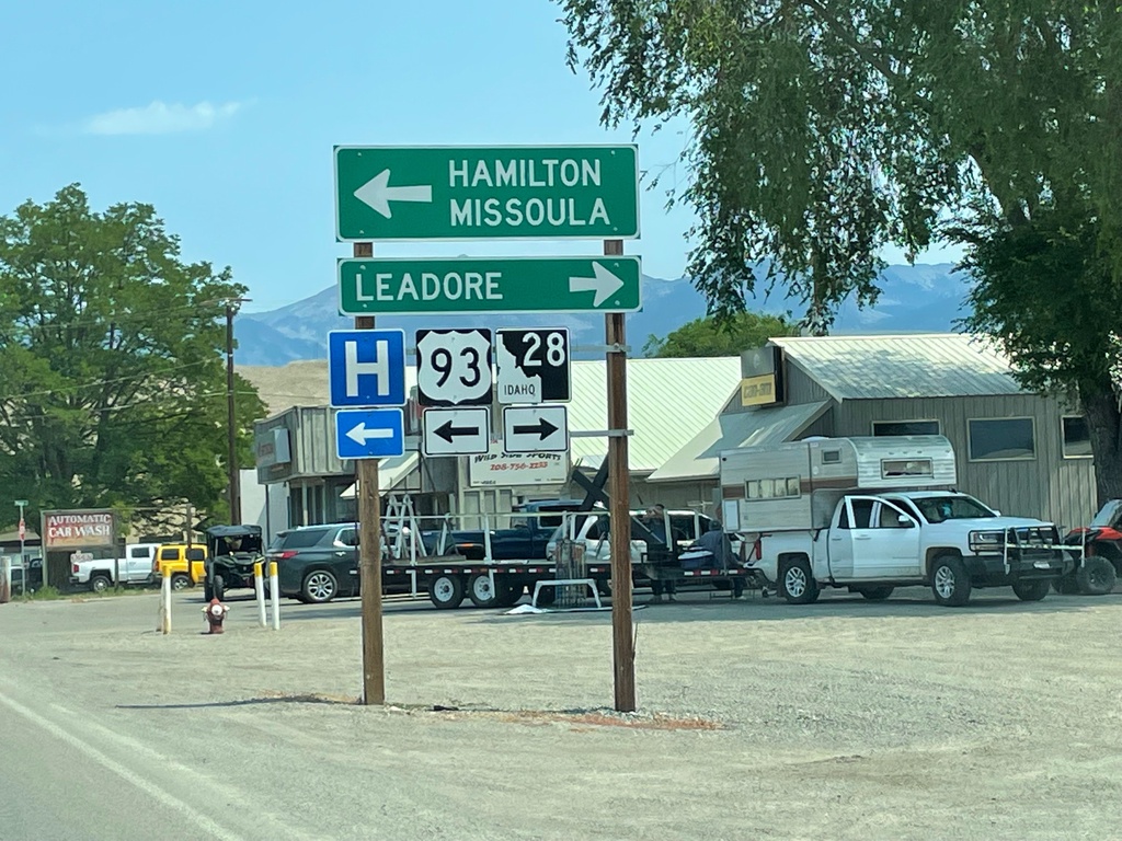
US-93 North at ID-28
US-93 North at ID-28 south to Leadore. Turn left to continue north on US-93 to Hamilton (MT) and Missoula (MT).
Taken 07-02-2021

 Salmon
Lemhi County
Idaho
United States
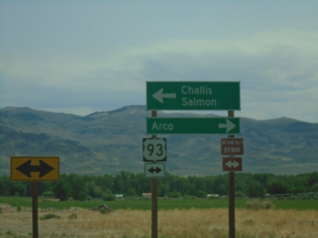
End ID-75 North at US-93
End ID-75 at US-93. Turn left for US-93 north to Challis and Salmon. Turn right for US-93 south to Arco. US-93 north is part of the Salmon River Scenic Byway; US-93 south is part of the Peaks to Craters Scenic Byway.
Taken 07-02-2021

 Challis
Custer County
Idaho
United States
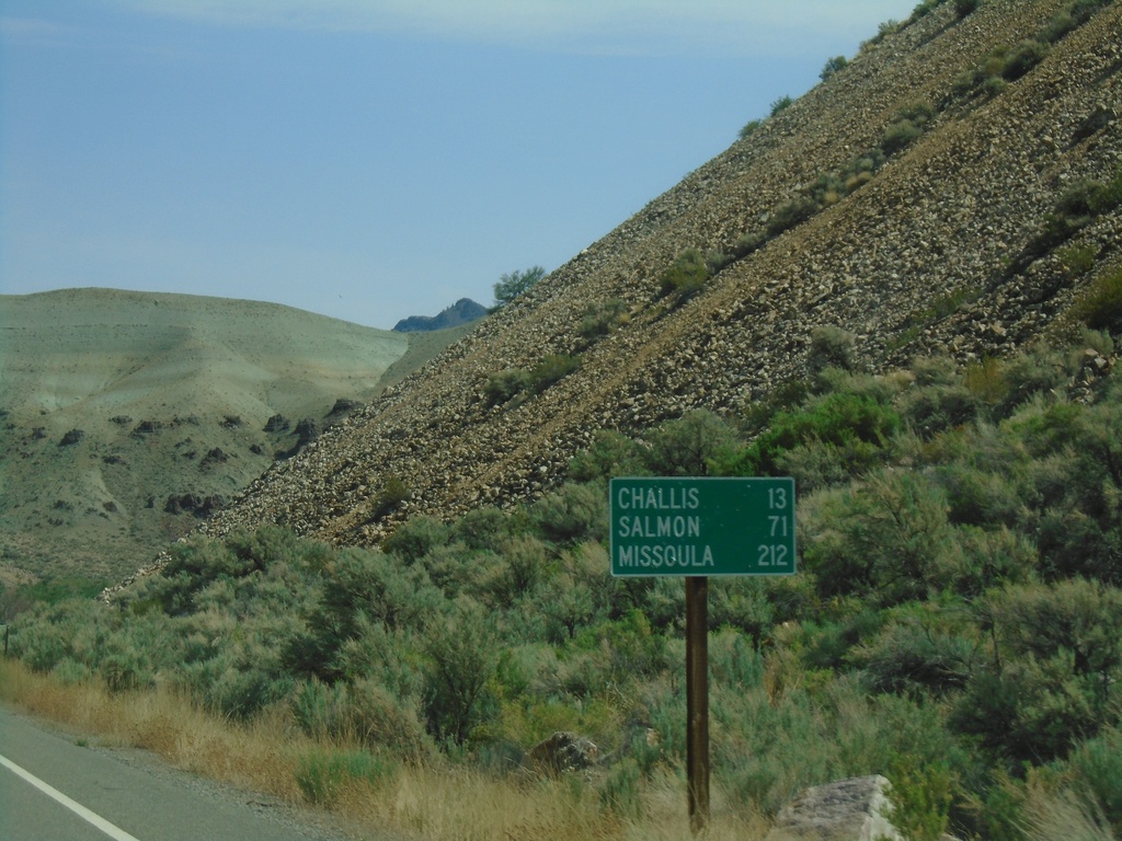
ID-75 North - Distance Marker
Distance marker on ID-75 north. Distance to Challis, Salmon, and Missoula (Montana).
Taken 07-02-2021
 Challis
Custer County
Idaho
United States
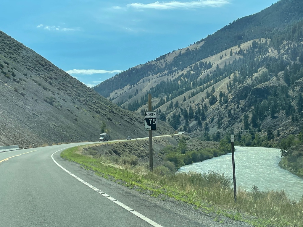
ID-75 North - Custer County
ID-75 north, just north of Clayton. The Salmon River is in the background.
Taken 07-02-2021
 Clayton
Custer County
Idaho
United States