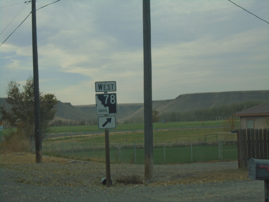
Signs From Idaho
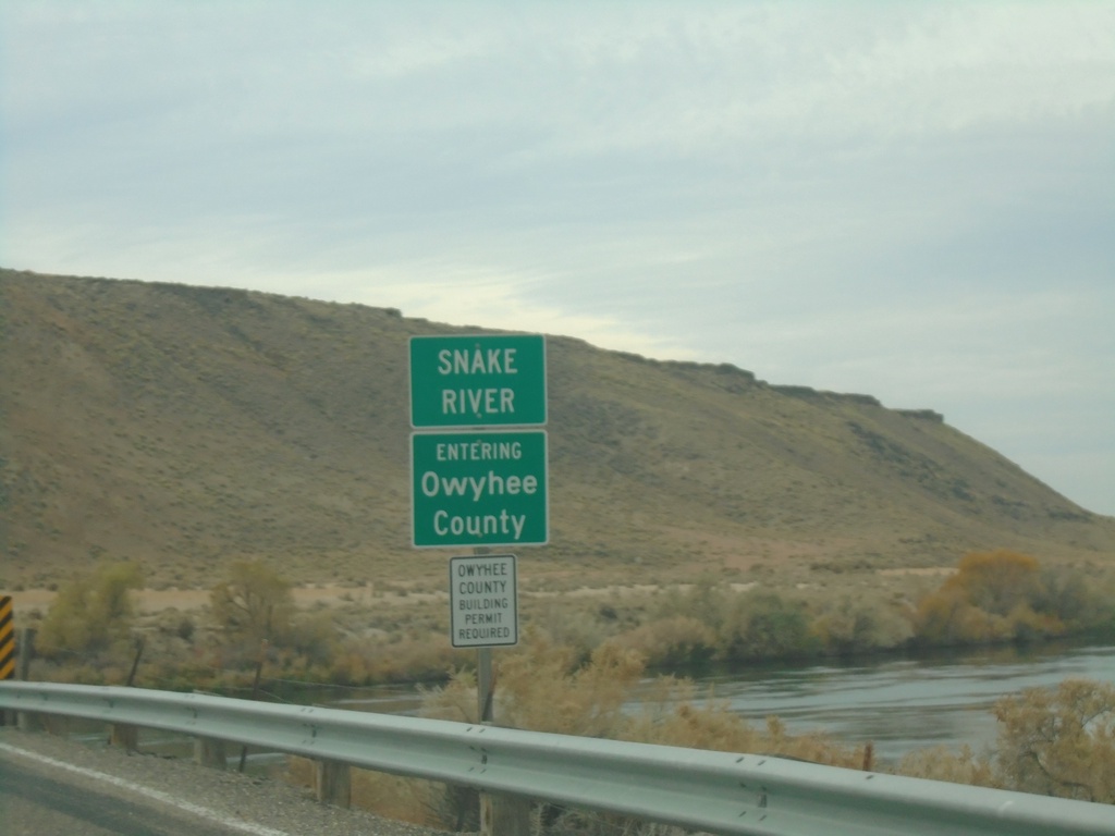
ID-78 West - Owyhee County/Snake River
Entering Owyhee County on ID-78 West at the Snake River bridge.
Taken 11-06-2020
 Hammett
Elmore County
Idaho
United States
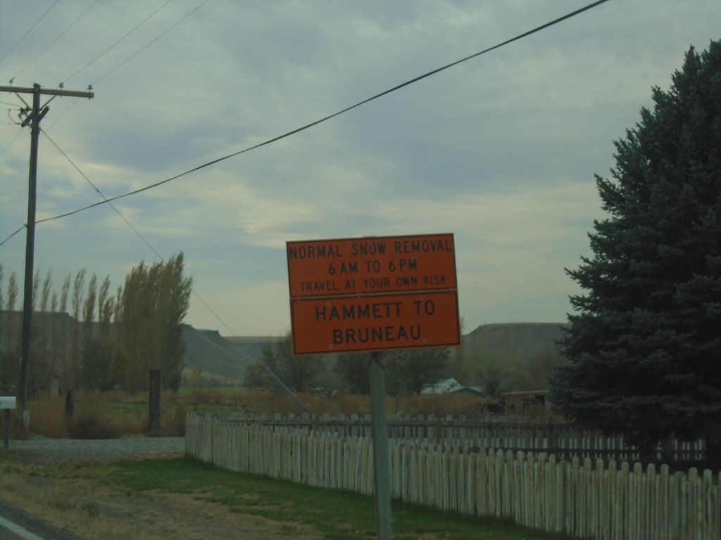
ID-78 West - Snow Plow Hours
ID-78 West - Normal Snow Removal Hours between 6 AM and 6 PM between Hammett and Bruneau.
Taken 11-06-2020
 Hammett
Elmore County
Idaho
United States
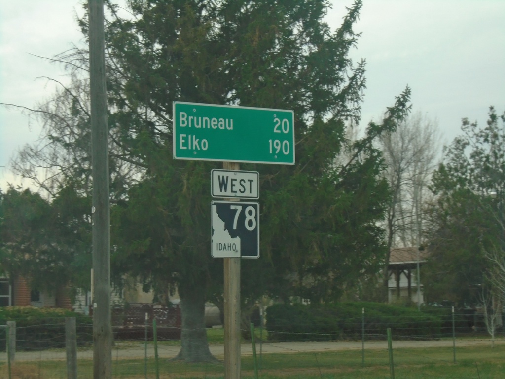
ID-78 West - Distance Marker
Distance marker on ID-78 west. Distance to Bruneau and Elko (Nevada).
Taken 11-06-2020
 Hammett
Elmore County
Idaho
United States
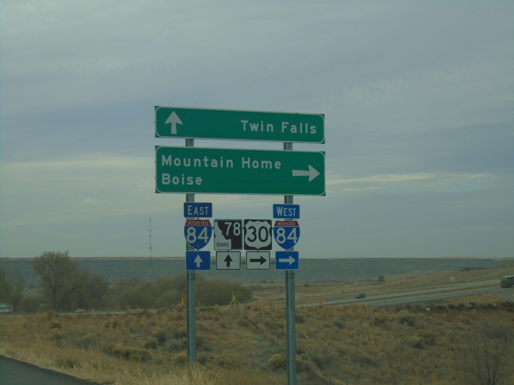
Hammett Hill Road at I-84/US-30/(US-26)/ID-78
Hammett Hill Road at I-84/US-30/(US-26)/ID-78 junction. Use I-84 west for Mountain Home and Boise. Continue over freeway for I-84/US-30/US-26 East to Twin Falls.
Taken 11-06-2020


 Hammett
Elmore County
Idaho
United States
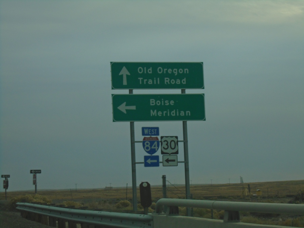
Old Oregon Trail Road at I-84 West
Old Oregon Trail Road at I-84/US-30/(US-26) West. Use I-84 west to Meridian and Boise.
Taken 11-06-2020


 Mountain Home
Elmore County
Idaho
United States
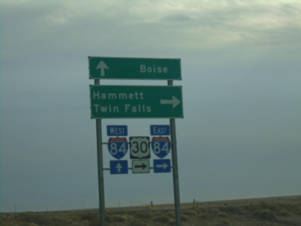
Old Oregon Trail Road at I-84
Old Oregon Trail Road at I-84 (Exit 99). Use I-84 East for Hammett and Twin Falls. Continue over freeway for I-84 East to Boise.
Taken 11-06-2020


 Mountain Home
Elmore County
Idaho
United States
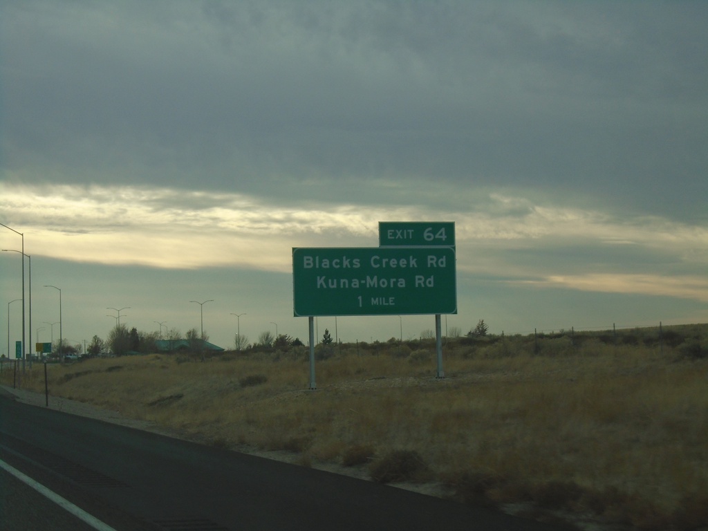
I-84 East - Exit 64
I-84 east approaching Exit 64 - Black Creek Road/Kuna-Mora Road.
Taken 11-06-2020


 Boise
Ada County
Idaho
United States
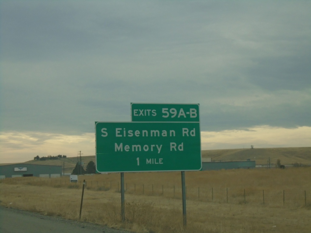
I-84 East - Exit 59AB
I-84 east approaching Exit 59A-B - South Eisenman Road/Memory Road.
Taken 11-06-2020


 Boise
Ada County
Idaho
United States
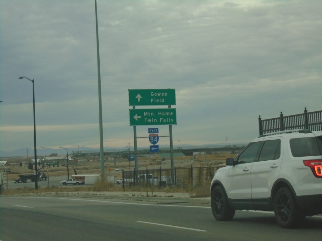
Orchard St. South at I-84 East
Orchard St. South at I-84 East (Exit 52) to Mountain Home and Twin Falls. Orchard St. continues south as Gowen Road.
Taken 11-06-2020

 Boise
Ada County
Idaho
United States