Signs From Idaho
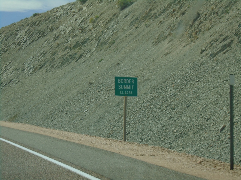
US-30 East - Border Summit
US-30 east at Border Summit - Elevation 6358 Feet.
Taken 08-13-2020
 Montpelier
Bear Lake County
Idaho
United States
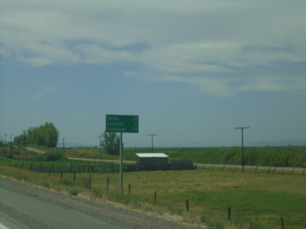
US-30 East - Distance Marker
Distance marker on US-30 east. Distance to Border, Cokeville, and Kemmerer. All three destinations are in Wyoming.
Taken 08-13-2020
 Montpelier
Bear Lake County
Idaho
United States
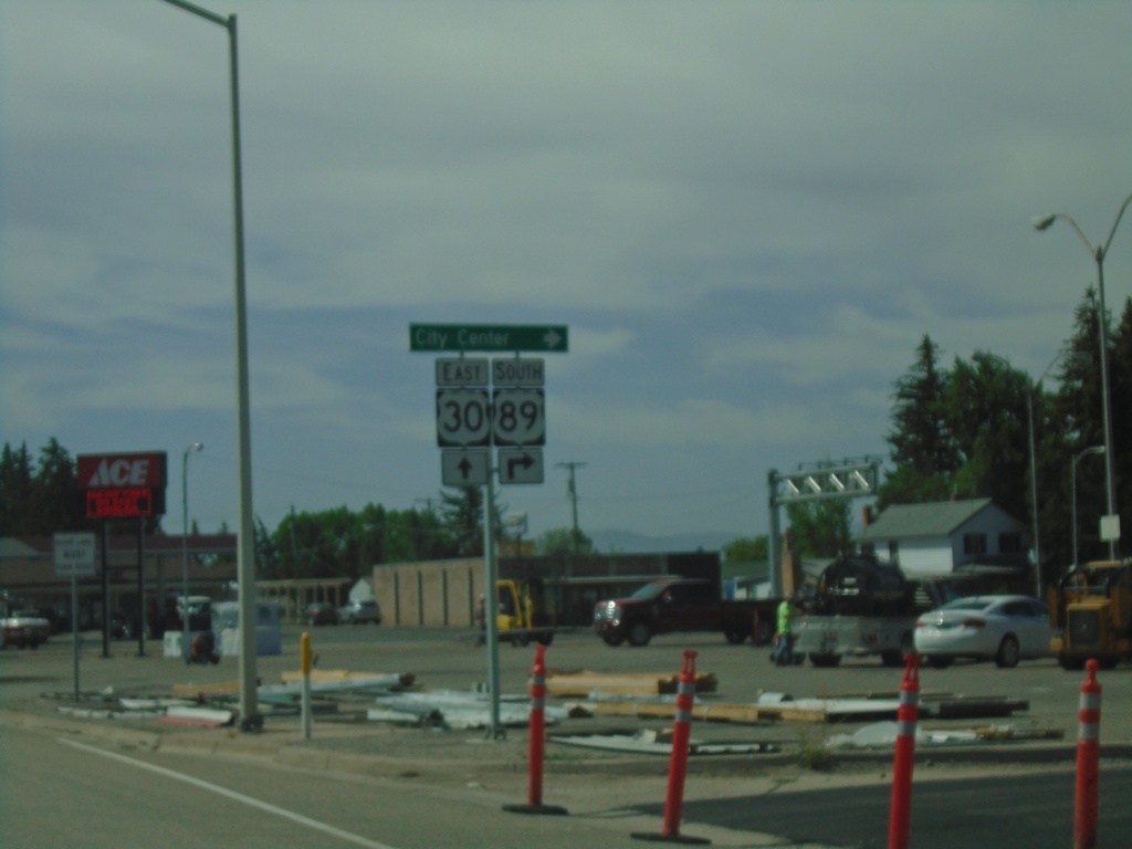
US-30 East/US-89 South at US-30/US-89 Split
US-30 East/US-89 South at US-30/US-89 split in Montpelier. Turn left for US-89 south to (Montpelier) City Center.
Taken 08-13-2020

 Montpelier
Bear Lake County
Idaho
United States
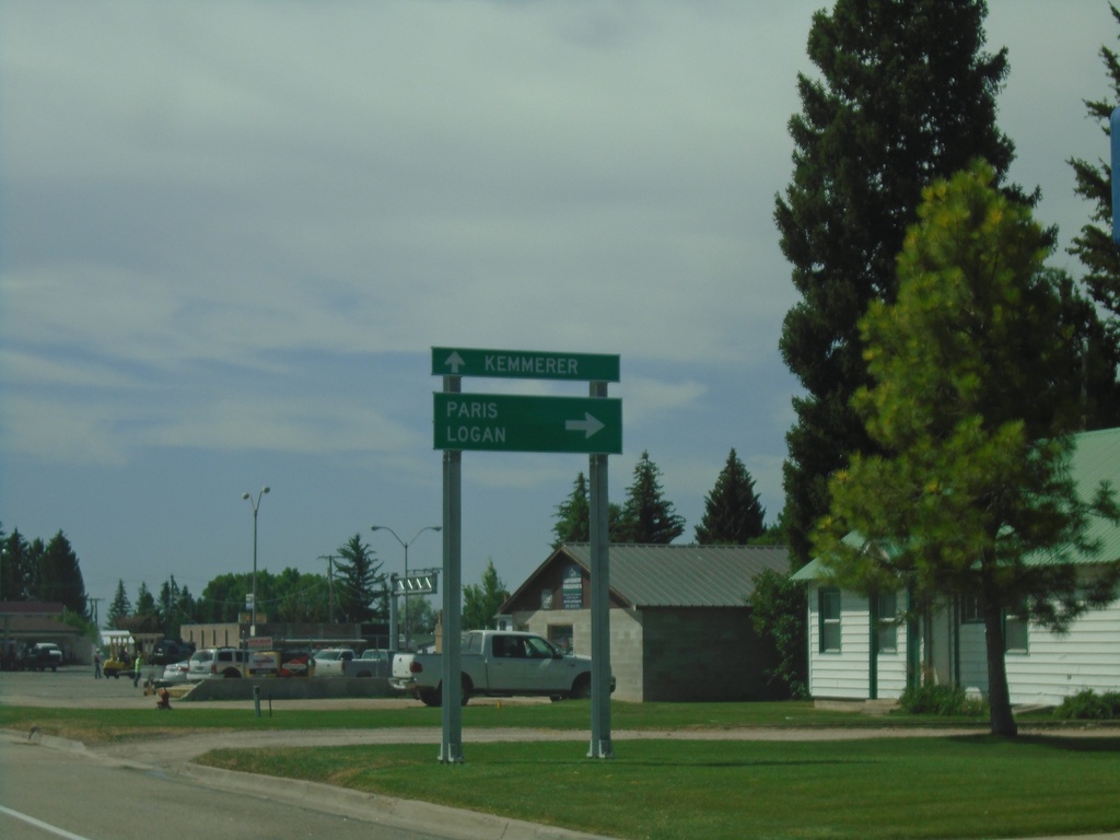
US-30 East/US-89 South at US-30/US-89 Split
US-30 East/US-89 South at US-30/US-89 split in Montpelier. Turn right on US-89 south for Paris and Logan (Utah). Continue east on US-30 for Kemmerer (Wyoming).
Taken 08-13-2020

 Montpelier
Bear Lake County
Idaho
United States
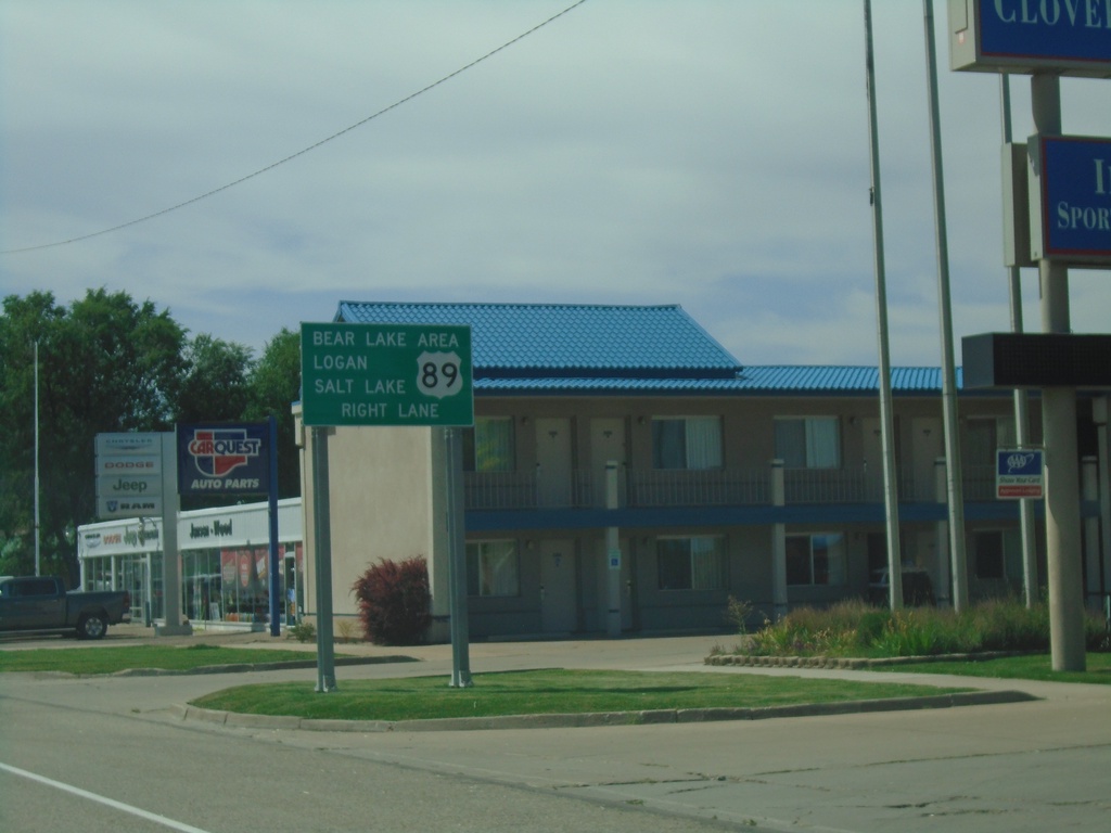
US-30 East/US-89 South approaching US-89
US-30 East/US-89 South approaching US-89/US-30 split in Montpelier. Use US-89 south for Bear Lake Area, Logan (UT), and Salt Lake (UT).
Taken 08-13-2020

 Montpelier
Bear Lake County
Idaho
United States
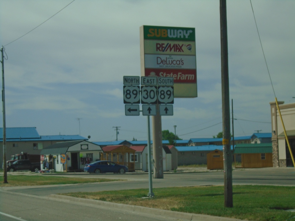
US-30 East at US-89 South - Montpelier
US-30 East at US-89 South in Montpelier. US-89 south joins US-30 east for a few blocks through Montpelier.
Taken 08-13-2020

 Montpelier
Bear Lake County
Idaho
United States
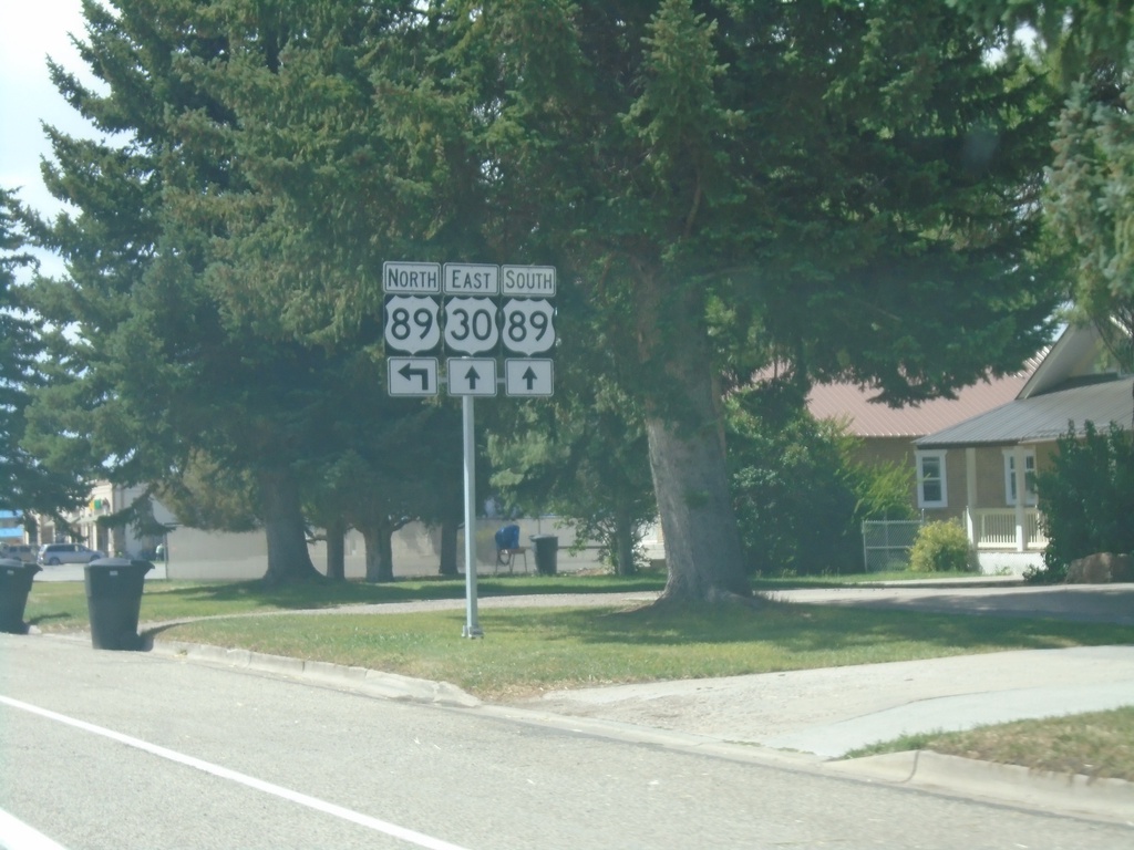
US-30 East at US-89 - Montpelier
US-30 East at US-89 in Montpelier. US-89 south joins US-30 east for a few blocks through Montpelier.
Taken 08-13-2020

 Montpelier
Bear Lake County
Idaho
United States
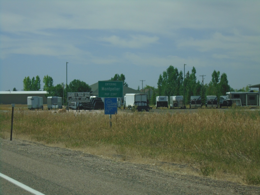
US-30 East - Montpelier
Entering Montpelier on US-30 west.
Taken 08-13-2020
 Montpelier
Bear Lake County
Idaho
United States
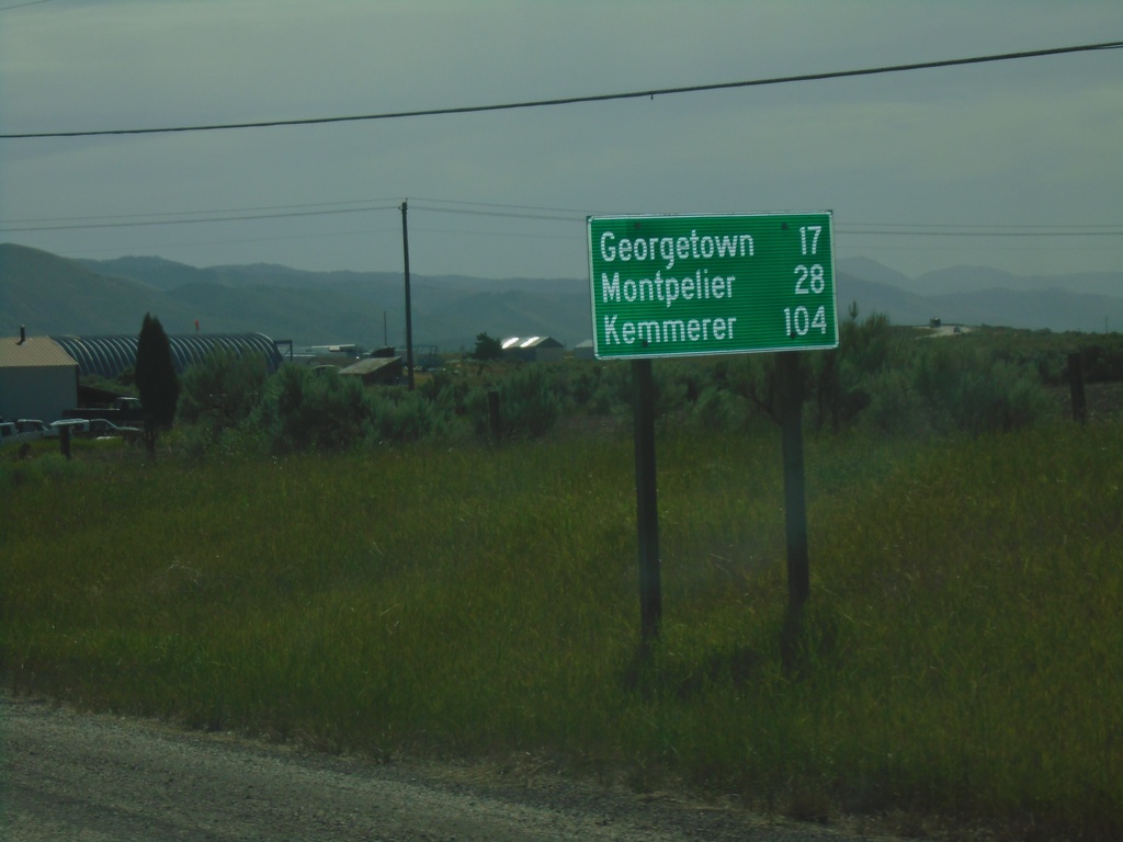
US-30 East - Distance Marker
Distance marker on US-30 east. Distance to Georgetown, Montpelier, and Kemmerer (Wyoming).
Taken 08-13-2020
 Soda Springs
Caribou County
Idaho
United States
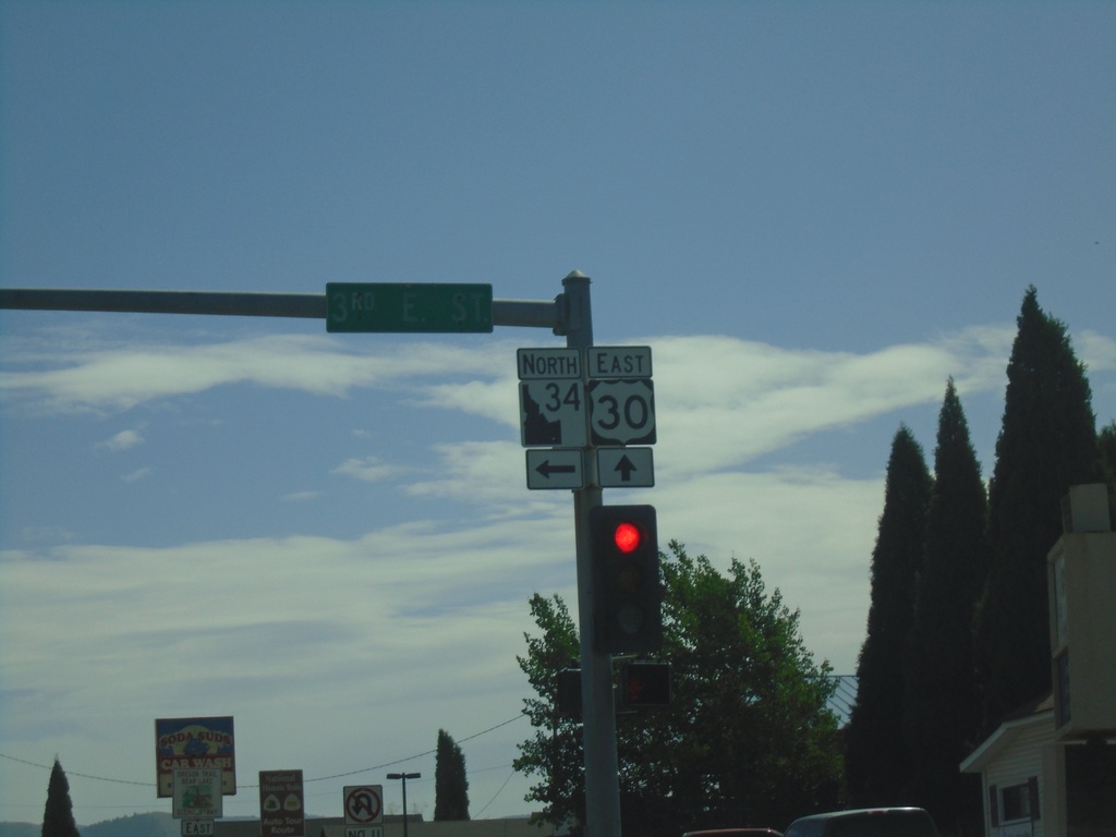
US-30 East/ID-34 North at US-30/ID-34 Split
US-30 East/ID-34 North at US-30/ID-34 split in Soda Springs. Turn left to continue north on ID-34. The ID-34 shield pictured here is the new style of Idaho state highway shield.
Taken 08-13-2020

 Soda Springs
Caribou County
Idaho
United States