Signs From Idaho
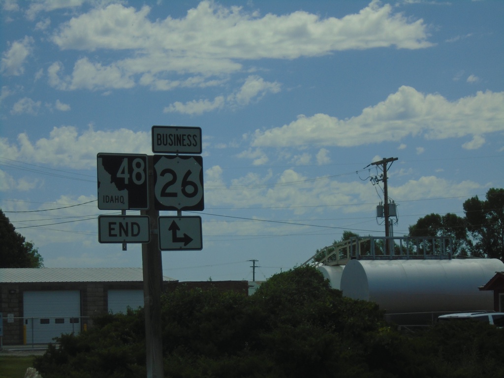
End ID-48 East at Bus. US-26
End ID-48 East at Bus. US-26 in Ririe.
Taken 07-17-2020

 Ririe
Bonneville County
Idaho
United States
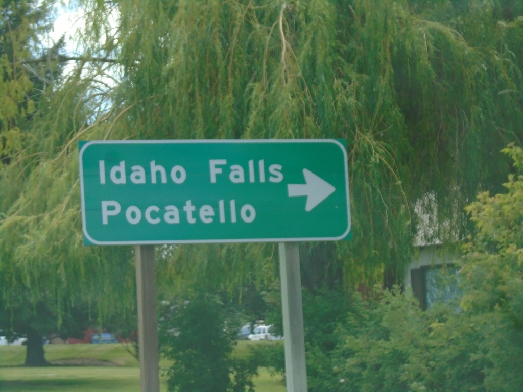
ID-48 East at Bus. US-20
ID-48 East at Bus. US-20 in Rigby. Turn right on Bus. US-20 West to Idaho Falls and Pocatello.
Taken 07-17-2020

 Rigby
Jefferson County
Idaho
United States
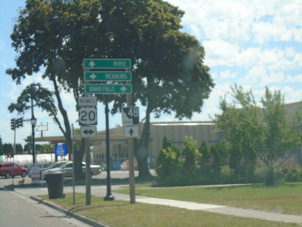
ID-48 East at Bus. US-20
ID-48 East at Bus. US-20 (State St.) in Rigby. Turn right on Bus. US-20 for Idaho Falls and left on Bus. US-20 for Rexburg. Continue straight on ID-48 for Ririe.
Taken 07-17-2020

 Rigby
Jefferson County
Idaho
United States
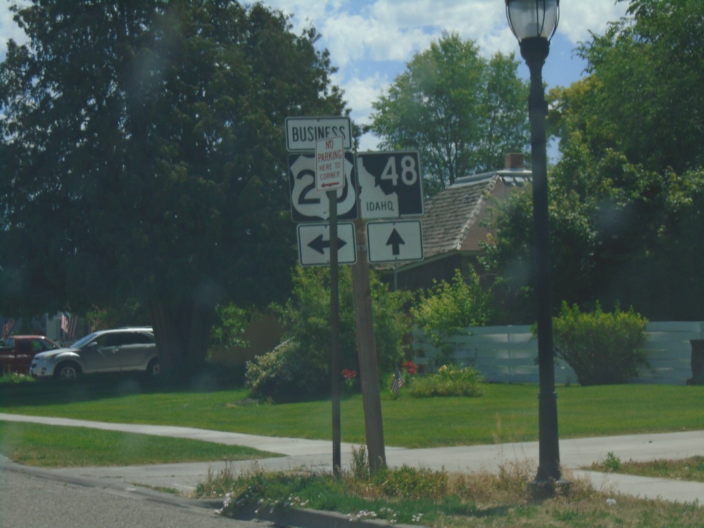
ID-48 East Approaching Bus. US-20 (State St.)
ID-48 East Approaching Bus. US-20 (State St.) in Rigby.
Taken 07-17-2020

 Rigby
Jefferson County
Idaho
United States
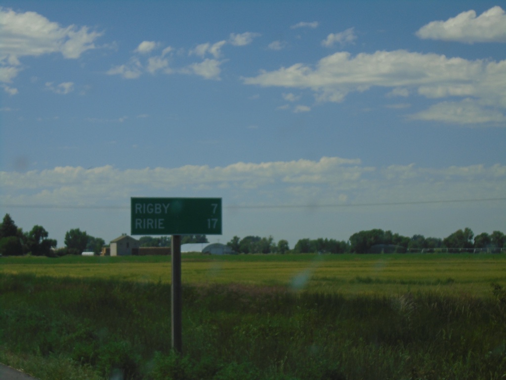
ID-48 East - Distance Marker
Distance marker on ID-48 east. Distance to Rigby and Ririe.
Taken 07-17-2020
 Menan
Jefferson County
Idaho
United States
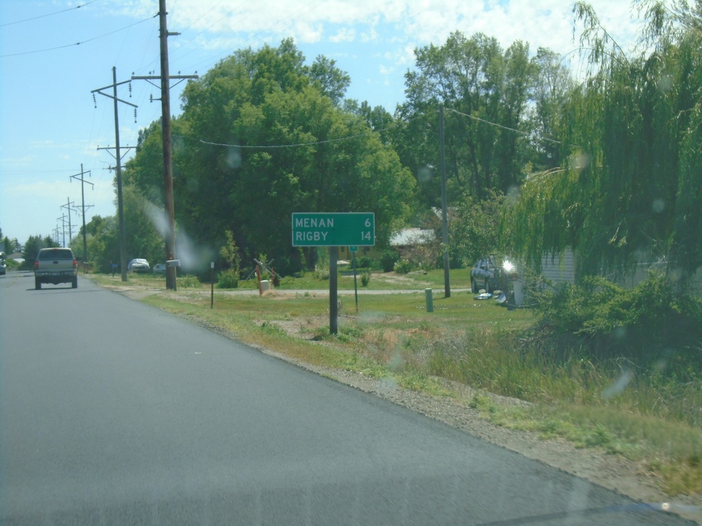
ID-48 East - Distance Marker
Distance marker on ID-48 east. Distance to Menan and Rigby.
Taken 07-17-2020
 Roberts
Jefferson County
Idaho
United States
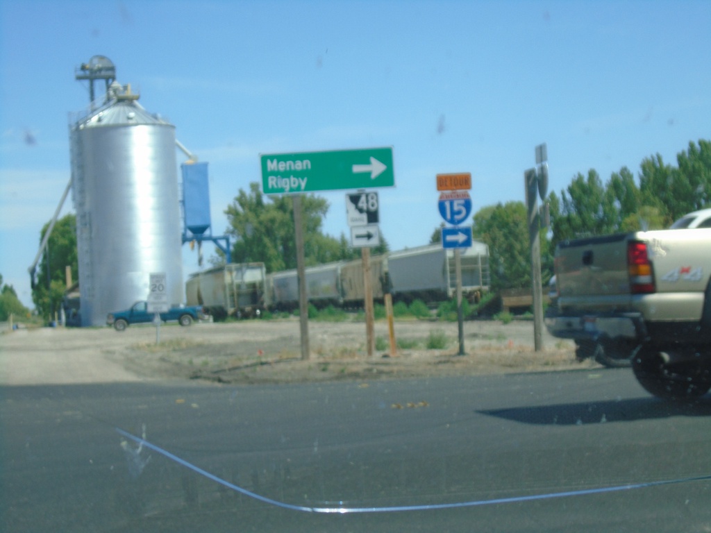
ID-48 - Roberts
ID-48 (N 2880 E) at E 650 N in Roberts. Turn right on E 650 N to continue east on ID-48 towards Menan and Rigby.
Taken 07-17-2020
 Roberts
Jefferson County
Idaho
United States
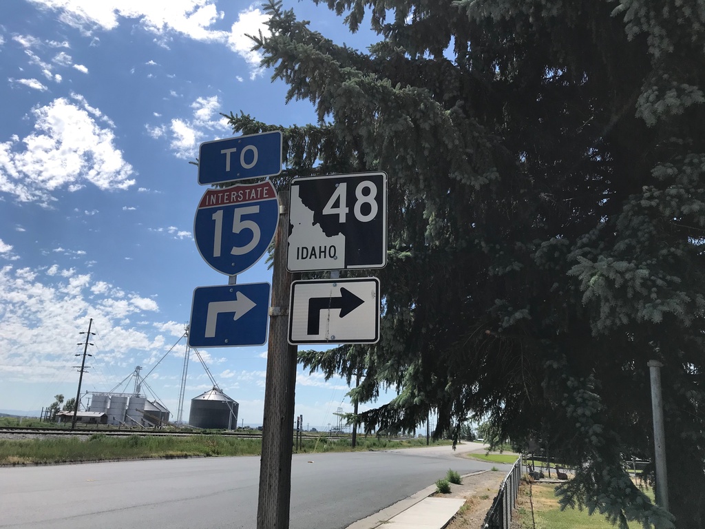
ID-48 West/To I-15 - Roberts
ID-48 West/To I-15 in Roberts.
Taken 07-17-2020

 Roberts
Jefferson County
Idaho
United States
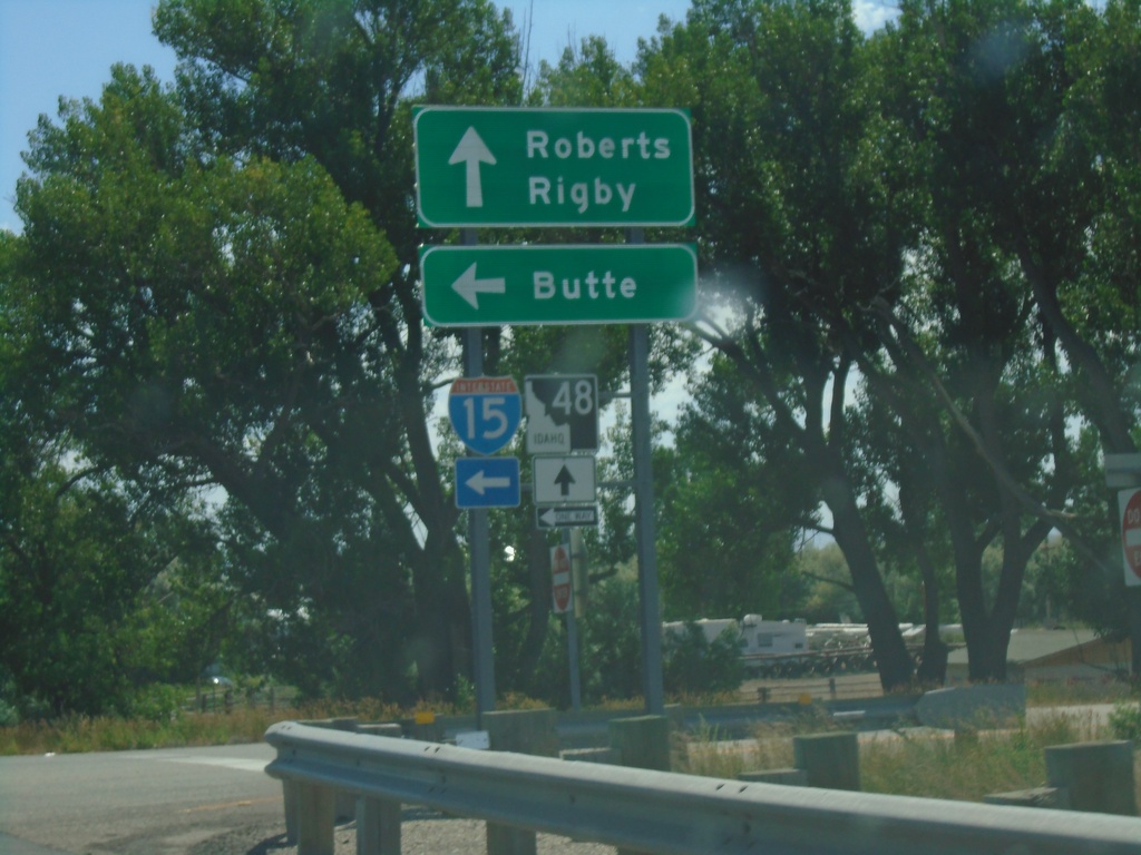
Begin ID-48 East at I-15 North
Begin ID-48 East at I-15 North in Roberts. Turn left for I-15 north to Butte (Montana); use ID-48 east for Roberts and Rigby.
Taken 07-17-2020

 Roberts
Jefferson County
Idaho
United States
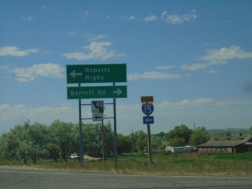
I-15 South (Exit 135) at ID-48
I-15 South (Exit 135) at ID-48 in Roberts. Turn left for Roberts and Rigby; left for Berrett Road.
Taken 07-17-2020

 Roberts
Jefferson County
Idaho
United States