Signs From Idaho

BL-15/US-91 South Approaching I-15
BL-15/US-91 South approaching I-15 (Exit 89). This is the south end of the Blackfoot business loop.
Taken 05-22-2020


 Blackfoot
Bingham County
Idaho
United States
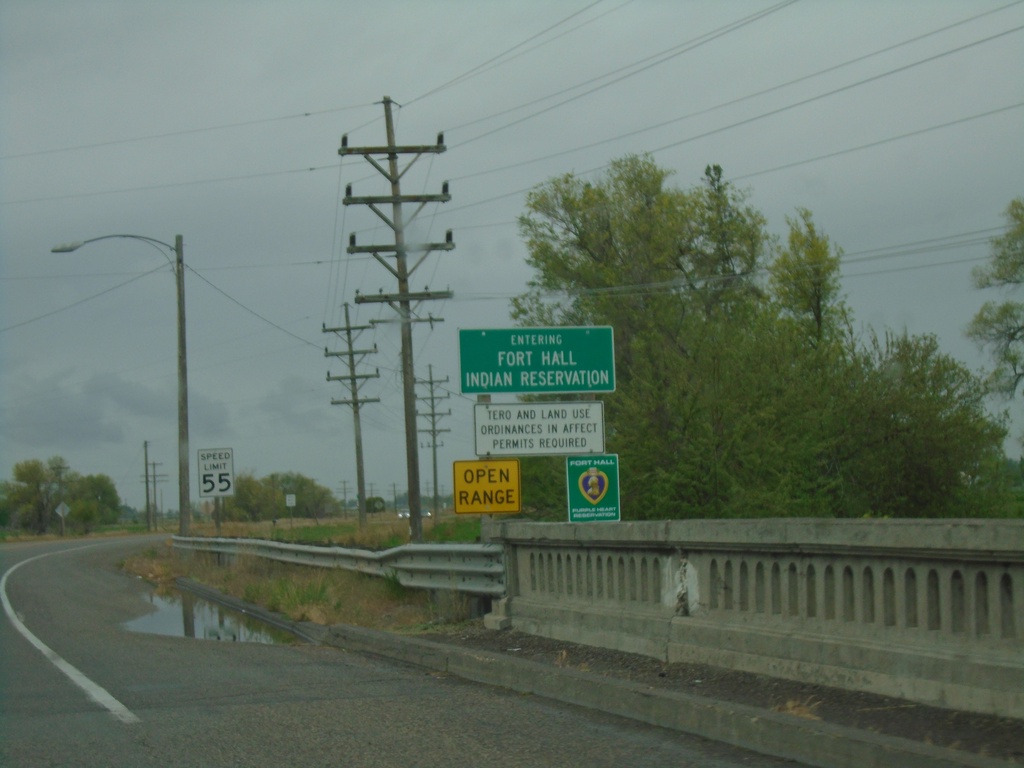
BL-15 South/US-91 South - Fort Hall Indian Reservation
Entering the Fort Hall Indian Reservation on BL-15 South/US-91 South.
Taken 05-22-2020
Blackfoot
Bingham County
Idaho
United States
BL-15 South at US-91
BL-15 South at US-91 in Blackfoot. Turn left for US-91 north to Idaho Falls and West Yellowstone (Montana). Turn right for BL-15 South/US-91 South to Pocatello.
Taken 05-22-2020
Blackfoot
Bingham County
Idaho
United States
BL-15 South - Blackfoot
BL-15 south (Judicial St.) in Blackfoot
Taken 05-22-2020
Blackfoot
Bingham County
Idaho
United States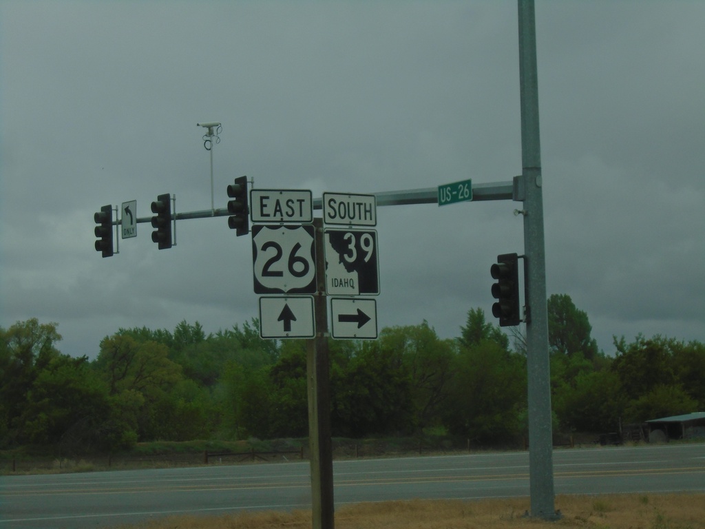
US-26 East at ID-39 South
US-26 East at ID-39 South in Blackfoot.
Taken 05-22-2020

 Blackfoot
Bingham County
Idaho
United States
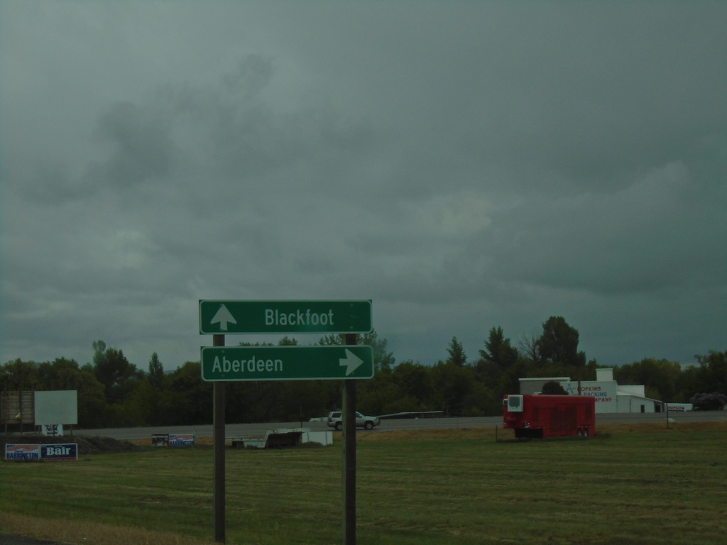
US-26 East at ID-39 South
US-26 east at ID-39 south to Aberdeen. Continue east on US-26 for Blackfoot.
Taken 05-22-2020
Blackfoot
Bingham County
Idaho
United States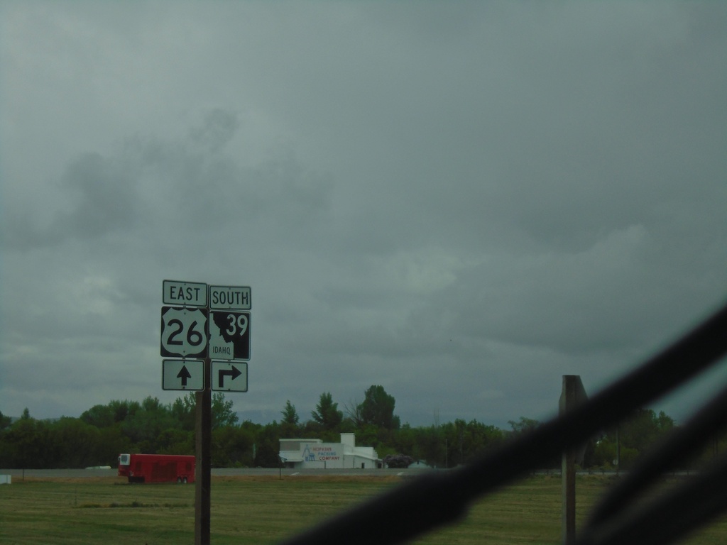
US-26 East at ID-39
US-26 East at ID-39 south in Blackfoot.
Taken 05-22-2020
Blackfoot
Bingham County
Idaho
United States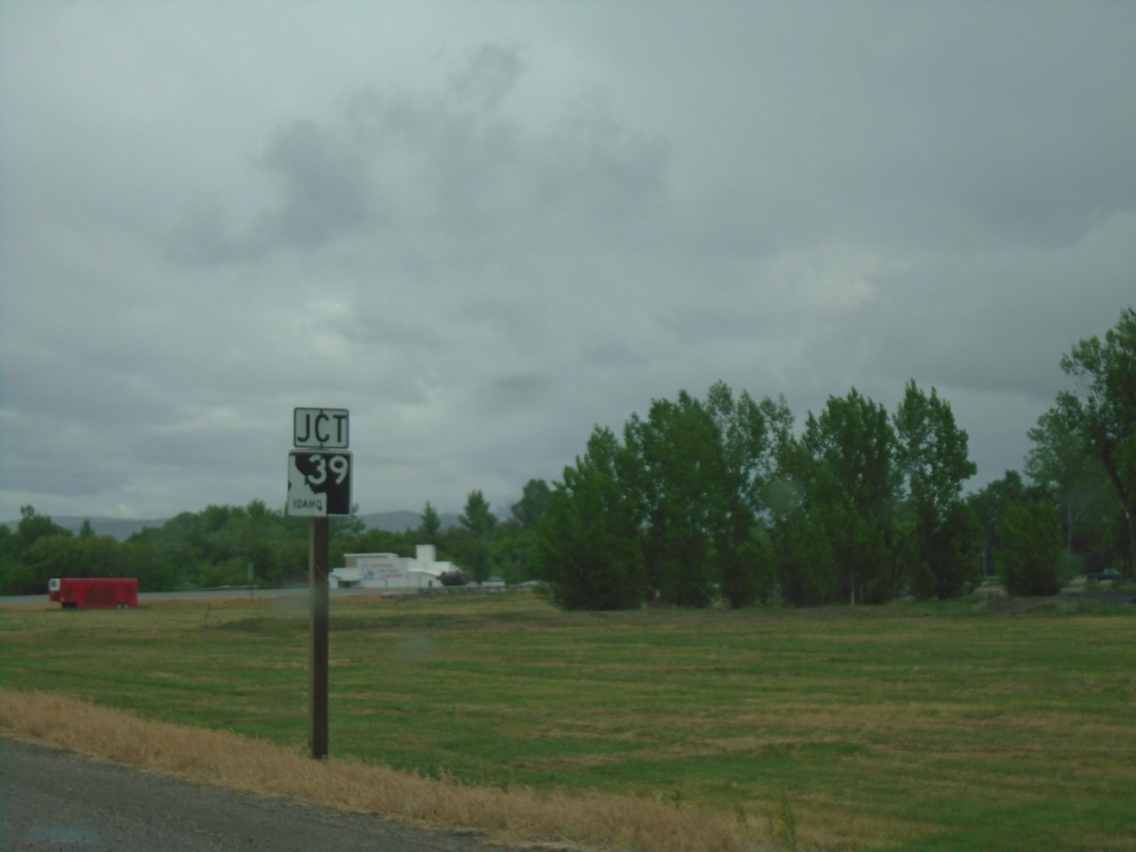
US-26 East Approaching ID-39
US-26 East approaching ID-39 in Blackfoot.
Taken 05-22-2020
Blackfoot
Bingham County
Idaho
United States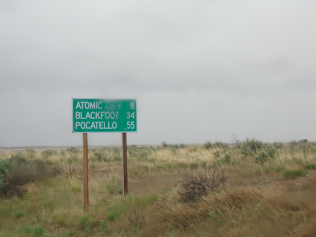
US-26 East - Distance Marker
Distance marker on US-26 east. Distance to Atomic City, Blackfoot, and Pocatello.
Taken 05-22-2020
Blackfoot
Butte County
Idaho
United States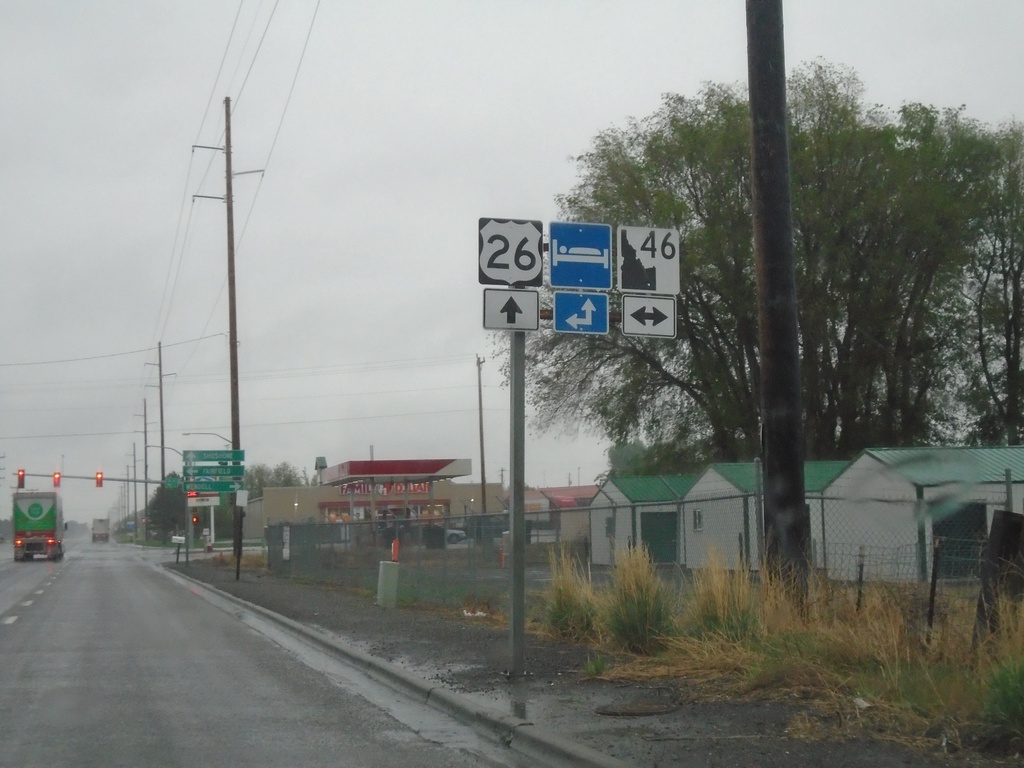
US-26 East at ID-46
US-26 East at ID-46 in Gooding. The ID-46 shield is the new design of the Idaho state highway shield.
Taken 05-22-2020
 Gooding
 County
Idaho
United States