Signs From Idaho
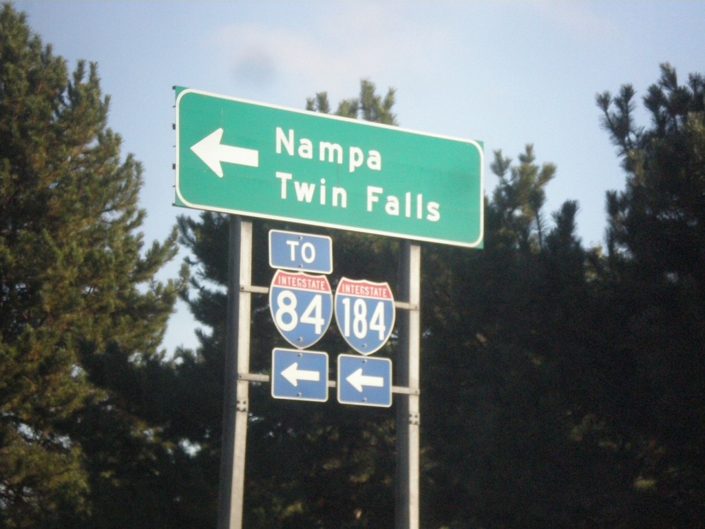
Curtis Road North at I-184 West (Exit 2) Onramp
Curtis Road North at I-184 West (Exit 2) Onramp to I-84, Nampa, and Twin Falls.
Taken 09-23-2017

 Boise
Ada County
Idaho
United States
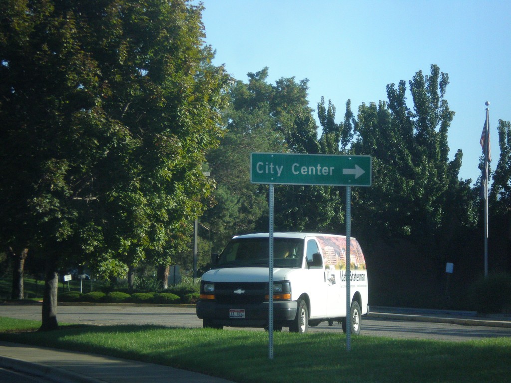
Curtis Road North at I-184
Curtis Road North at I-184 East to (Boise) City Center.
Taken 09-23-2017
 Boise
Ada County
Idaho
United States
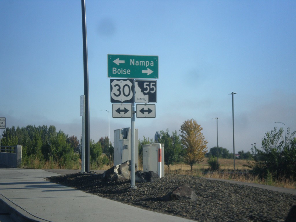
End ID-69 North at I-84/US-30/ID-55
End ID-69 North at I-84/US-30/ID-55. Turn right for (I-84)/US-30 East/ID-55 north to Boise; left for (I-84)/US-30 West/ID-55 South to Nampa.
Taken 09-23-2017


 Meridian
Ada County
Idaho
United States
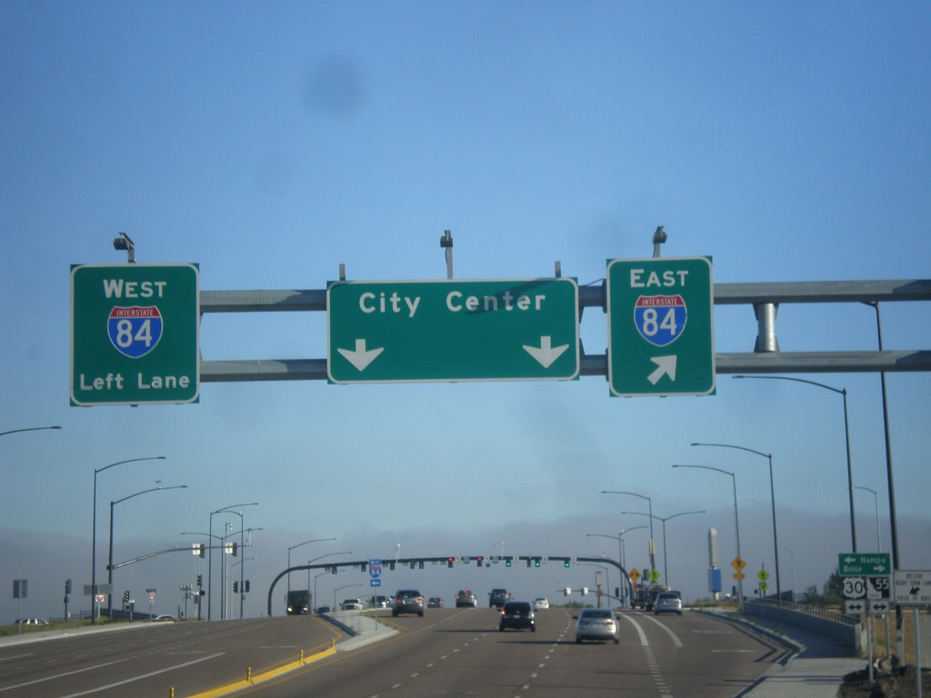
End ID-69 North at I-84/US-30/ID-55
End ID-69 north at I-84/US-30/ID-55 junction. Turn right for I-84 east; left for I-84 west. Continue north for (Meridian) City Center. This interchange was recently converted into a SPUI in 2016.
Taken 09-23-2017


 Meridian
Ada County
Idaho
United States
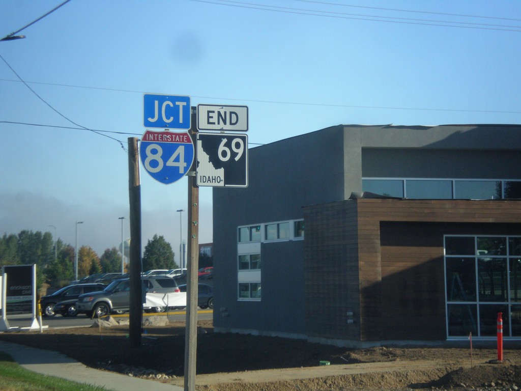
End ID-69 Approaching I-84
End ID-69 approaching I-84 in Meridian.
Taken 09-23-2017


 Meridian
Ada County
Idaho
United States
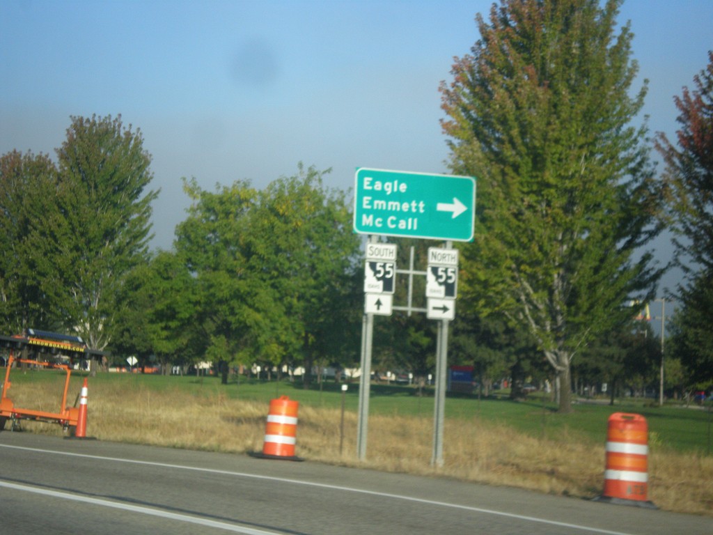
I-84 West - Exit 46 Offramp
I-84 West - Exit 46 Offramp in Meridian. Turn right on ID-55 (Eagle Road) for Eagle, Emmett, and McCall. ID-55 south joins I-84 westbound to Nampa.
Taken 09-23-2017


 Meridian
Ada County
Idaho
United States
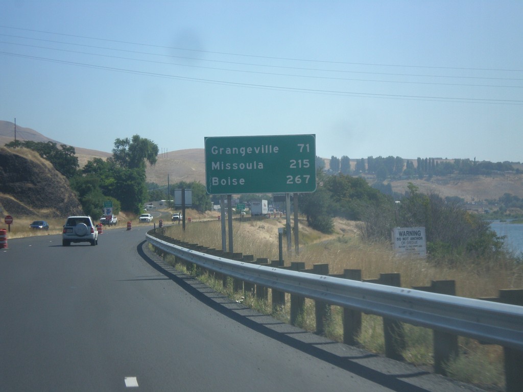
US-12 East/US-95 South - Distance Marker
Distance marker on US-95 South/US-12 East to Grangeville, Missoula (MT - via US-12), and Boise.
Taken 07-30-2017

 Lewiston
Nez Perce County
Idaho
United States
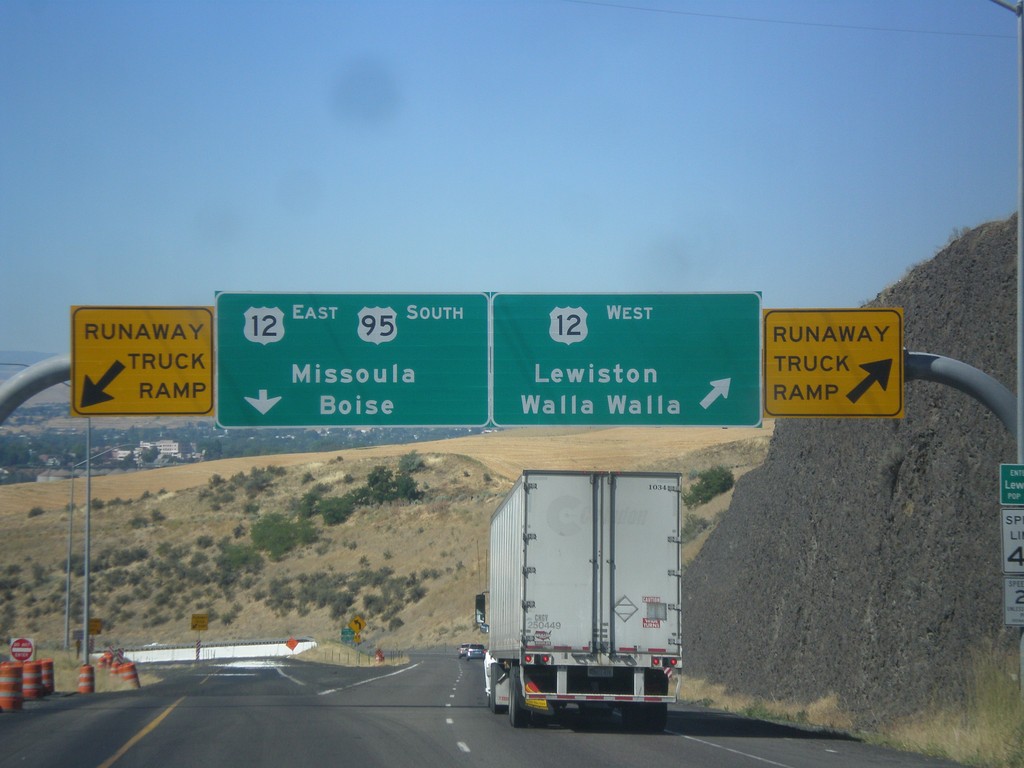
US-95 South at US-12
US-95 south at US-12 junction. Merge right for US-12 West/Lewiston/Walla Walla (Washington). Use left lane for US-95 South/US-12 East/Missoula (Montana)/Boise. Use either lane for access to Runaway Truck Ramps.
Taken 07-30-2017

 Lewiston
Nez Perce County
Idaho
United States
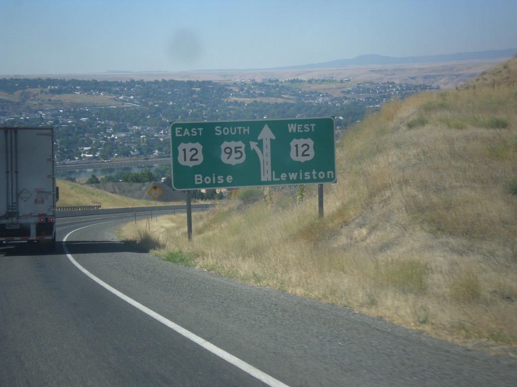
US-95 South Approaching US-12
US-95 south approaching US-12. Use right lane for US-12 west to Lewiston; left lane for US-95 South/US-12 East to Boise.
Taken 07-30-2017

 Lewiston
Nez Perce County
Idaho
United States
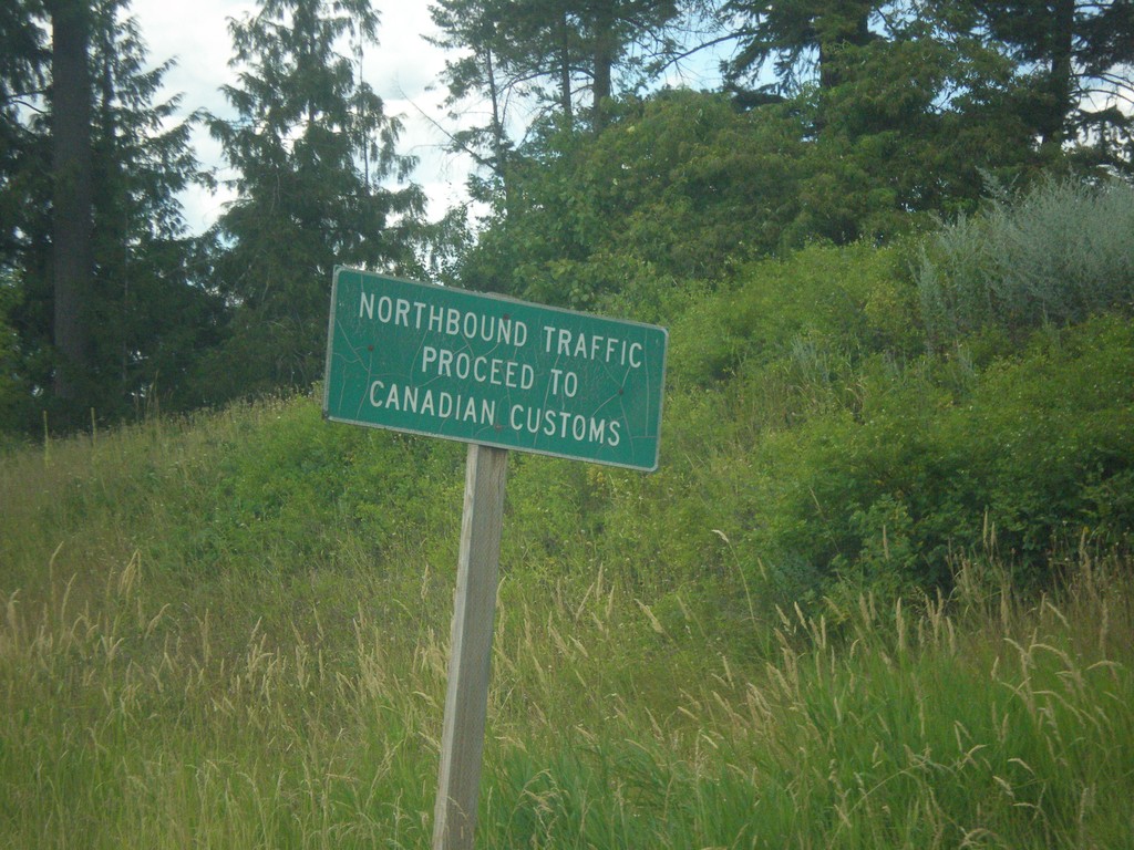
ID-1 North - Proceed To Canada Customs
ID-1 North - Northbound traffic proceed to Canada Customs.
Taken 07-23-2017
 Porthill
Boundary County
Idaho
United States