Signs From Idaho
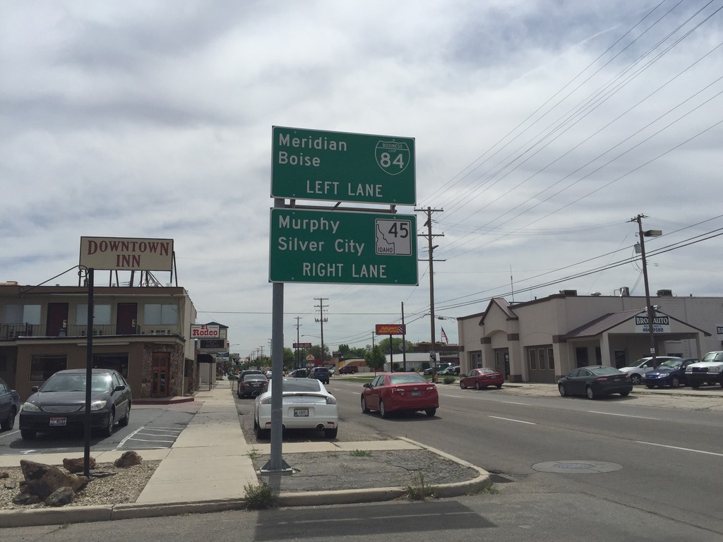
BL-84 East (3rd St.) at ID-45
BL-84 East (3rd St.) at ID-45 in Nampa. Continue straight for ID-45 south to Murphy and Silver City. Turn left on 11th Ave. to continue east on BL-84 to Meridian and Boise.
Taken 05-05-2016

 Nampa
Canyon County
Idaho
United States
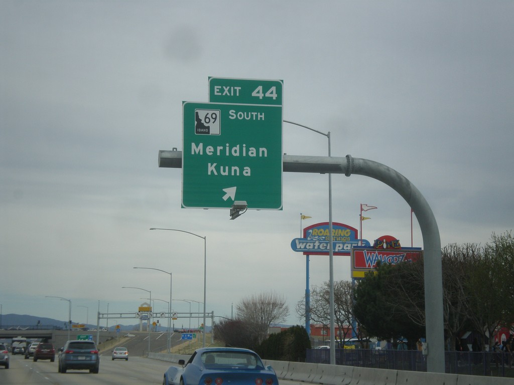
I-84 East - Exit 44
I-84 east at Exit 44 - ID-69 South/Meridian/Kuna. This interchange was rebuilt in 2015 as a SPUI. The ID-69 shield in attached to the exit sign incorrectly has the state of Idaho filled in all black. Normally on these types of state highway shields on freeway junctions, the state is shown white with a black outline and black text.
Taken 03-20-2016


 Meridian
Ada County
Idaho
United States
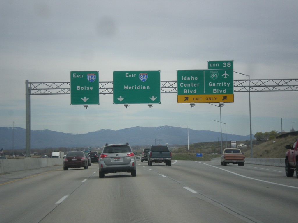
I-84 East - Exit 38
I-84 east at Exit 38 - BL-84/Garrity Blvd/Idaho Center Blvd. Use I-84 east for Meridian and Boise. This is the eastern end of the Nampa/Caldwell business loop.
Taken 03-20-2016
Nampa
Canyon County
Idaho
United States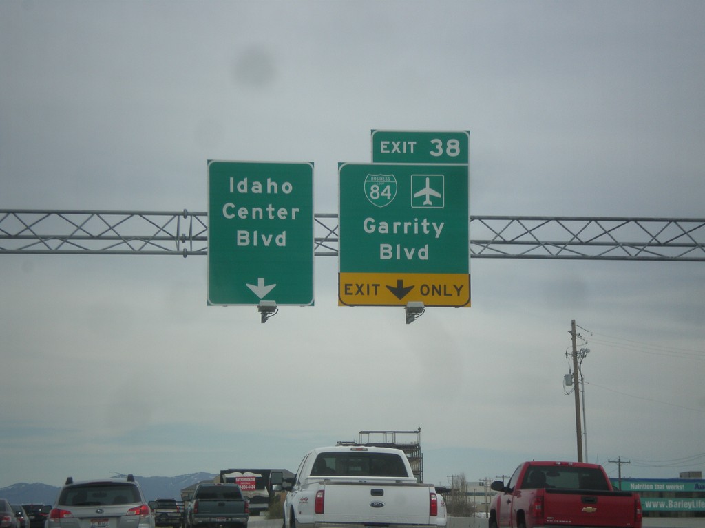
I-84 East - Exit 38
I-84 east approaching Exit 38 - BL-84/Idaho Center Blvd./Garrity Blvd.
Taken 03-20-2016
Nampa
Canyon County
Idaho
United States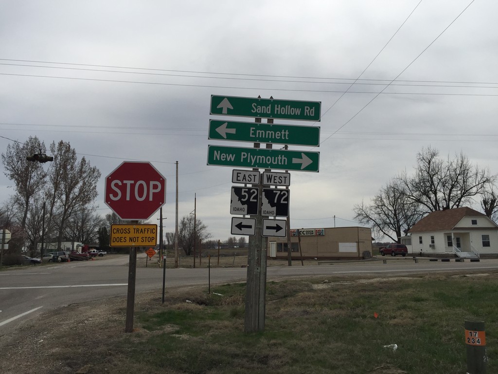
ID-52 East at ID-72
ID-52 east at ID-72 junction. Turn left to continue on ID-52 east to Emmett. Turn right for ID-72 west to New Plymouth. Sand Hollow Road (old US-30) continues south.
Taken 03-20-2016

 New Plymouth
Payette County
Idaho
United States
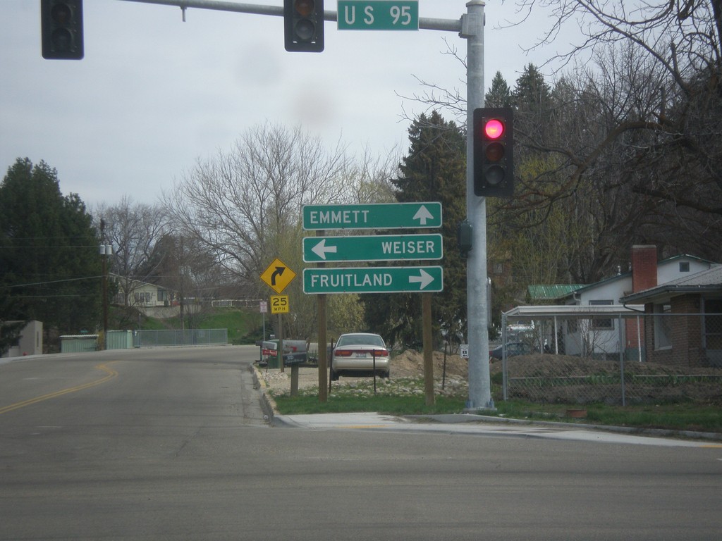
ID-52 East at US-95
ID-52 west at US-95 to Fruitland and Weiser. Continue west on ID-52 for Emmett.
Taken 03-20-2016
 Payette
 County
Idaho
United States
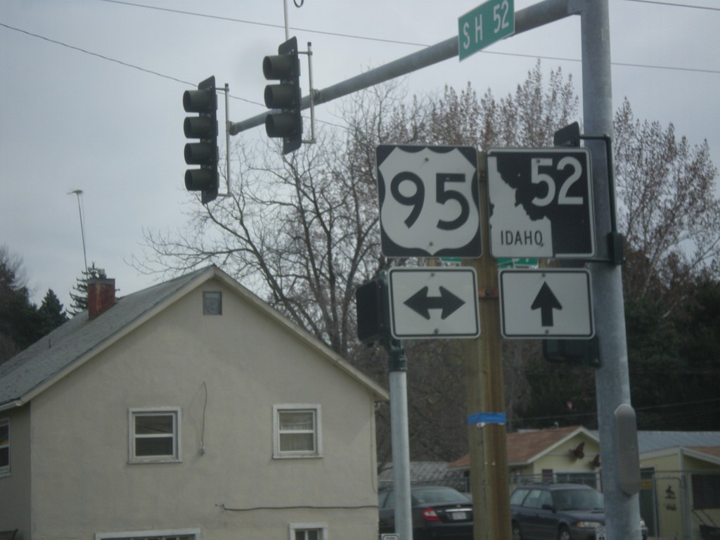
ID-52 East at US-95
ID-52 east at US-95 in Payette.
Taken 03-20-2016
Payette
Payette County
Idaho
United States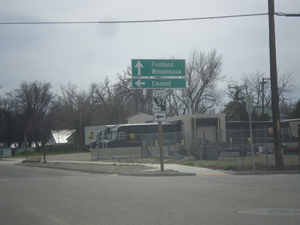
ID-52 East - Payette
ID-52 east (South 7th St.) at 2nd Ave. South. Turn left to continue east on ID-52 for Emmett. Continue south on South 7th St. for US-95 south to Fruitland and Winnemucca (Nevada).
Taken 03-20-2016
Payette
Payette County
Idaho
United States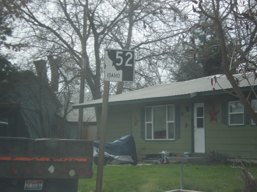
ID-52 East - Payette
ID-52 east in Payette. This is the first ID-52 shield eastbound on ID-52.
Taken 03-20-2016
Payette
Payette County
Idaho
United States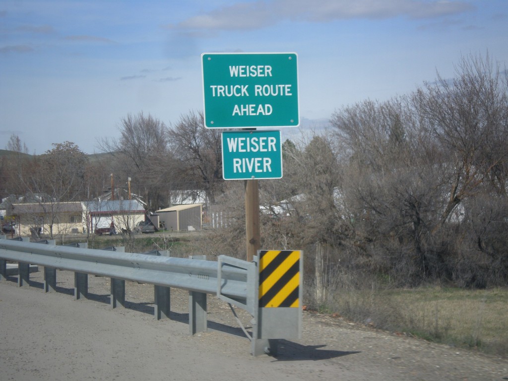
US-95 North - Weiser River
Crossing the Weiser River on US-95 north. Approaching Weiser Truck Route.
Taken 03-18-2016
Weiser
Washington County
Idaho
United States