Signs From Montana
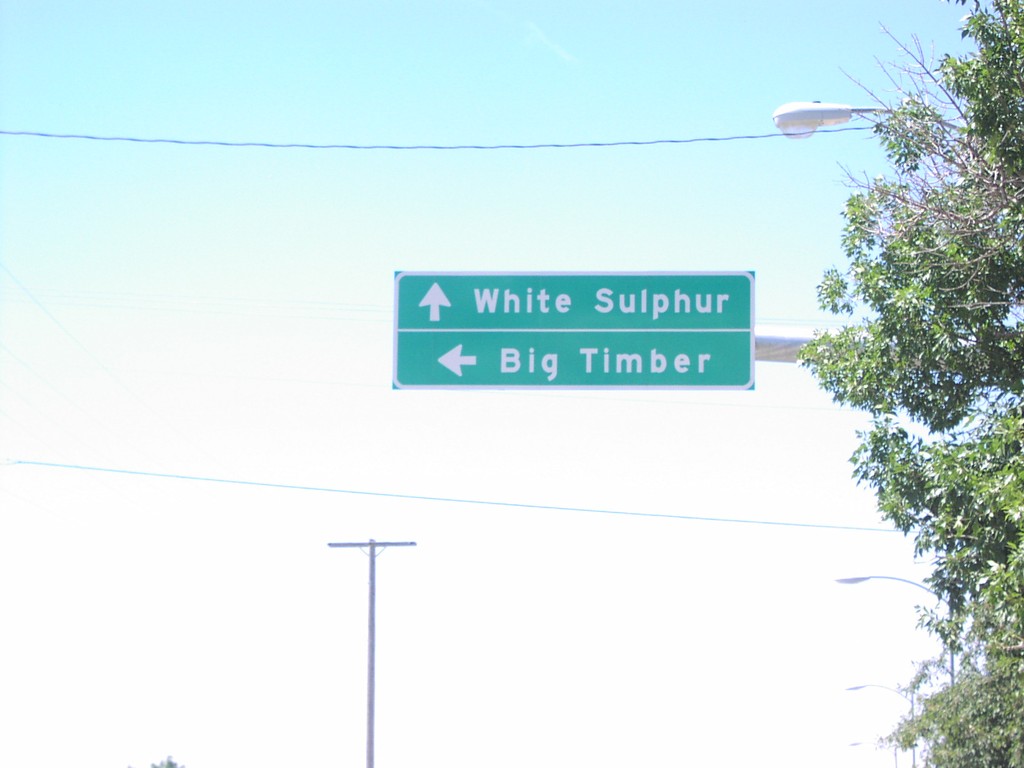
US-12 West at US-191 South
US-12 west/US-191 south at US-191 south to Big Timber.
Taken 07-01-2006

 Harlowton
Wheatland County
Montana
United States
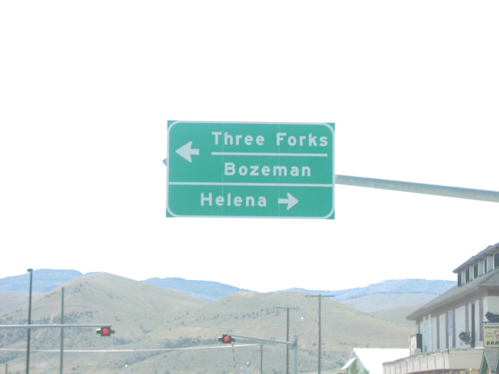
US-12 West at US-287
US-12 west at US-287 south to Three Forks and Bozeman. US-287 north joins US-12 north to Helena.
Taken 07-01-2006

 Townsend
Broadwater County
Montana
United States
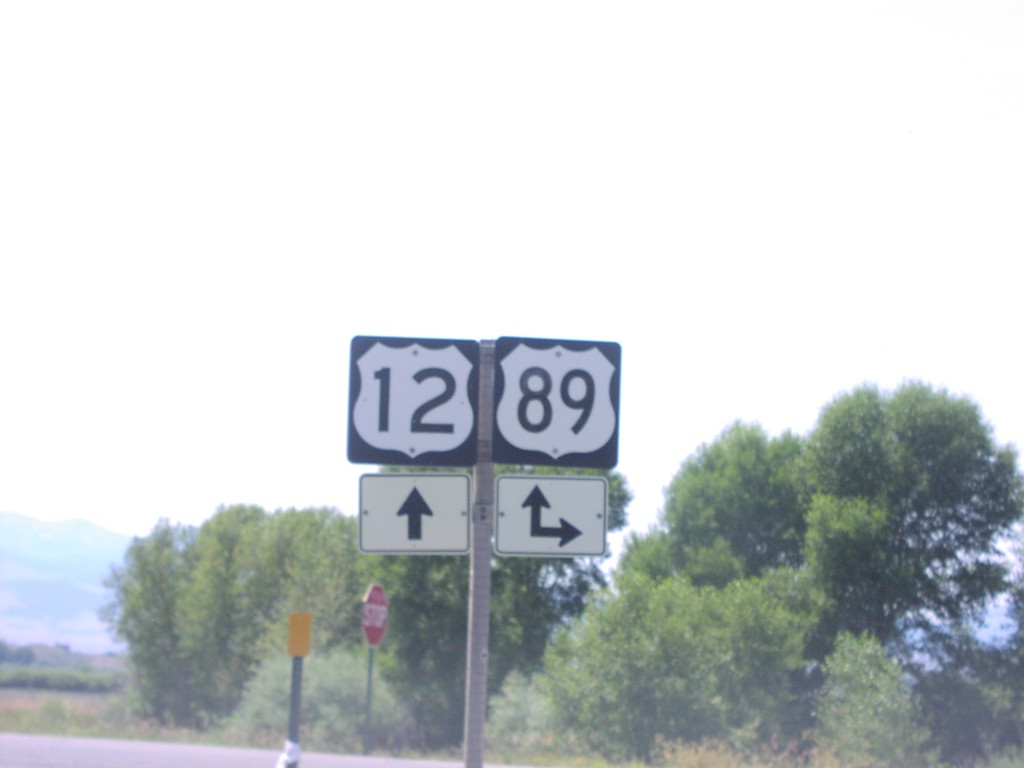
US-12 West at US-89 North
US-12 west at US-89 north. US-89 south follows US-12 west through White Sulphur Springs.
Taken 07-01-2006

 White Sulphur Springs
Meagher County
Montana
United States
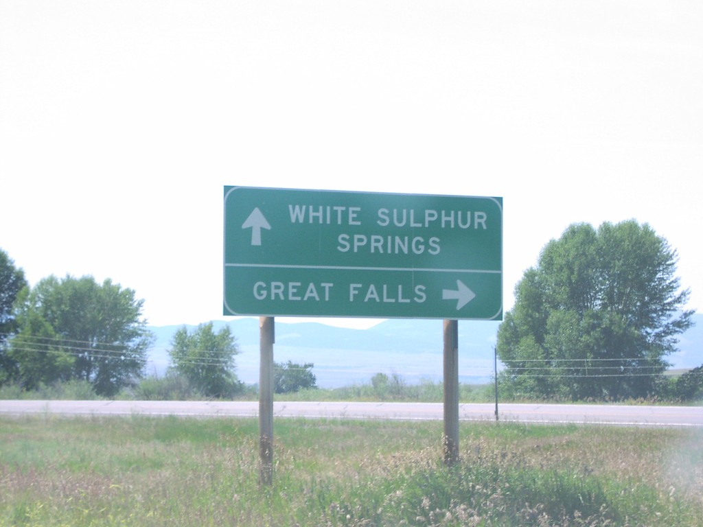
US-12 West at US-89 North
US-12 west at US-89 north to Great Falls.
Taken 07-01-2006

 White Sulphur Springs
Meagher County
Montana
United States
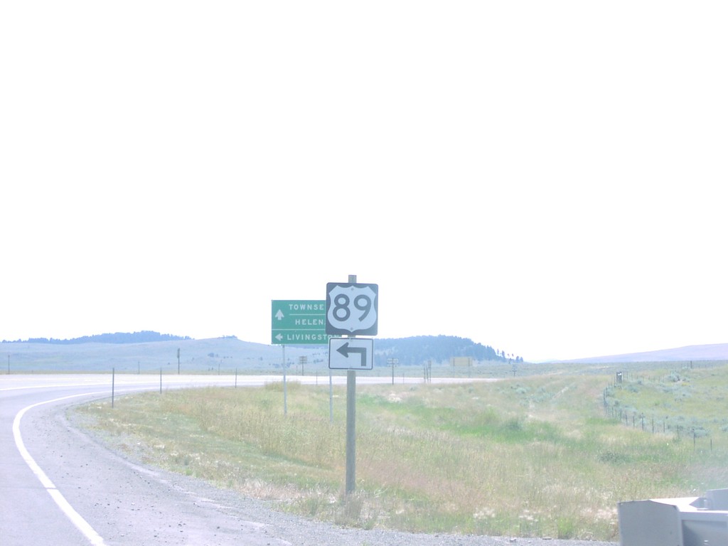
US-12 West at US-89 South
US-12 west/US-89 south at US-12/US-89 split.
Taken 07-01-2006

 Moss Agate
Meagher County
Montana
United States
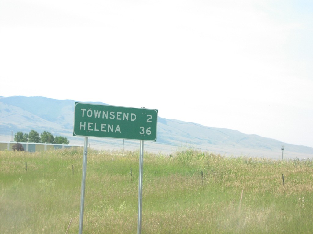
US-12 West Distance Marker
Distance marker on US-12 west to Townsend and Helena, just west of MTS-284.
Taken 07-01-2006
 Townsend
Broadwater County
Montana
United States
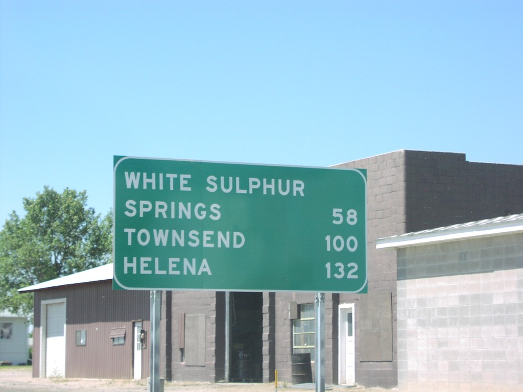
US-12 West Distance Marker
Distance marker on US-12 to White Sulphur Springs, Townsend, and Helena, just west of Harlowton.
Taken 07-01-2006
 Harlowton
Wheatland County
Montana
United States
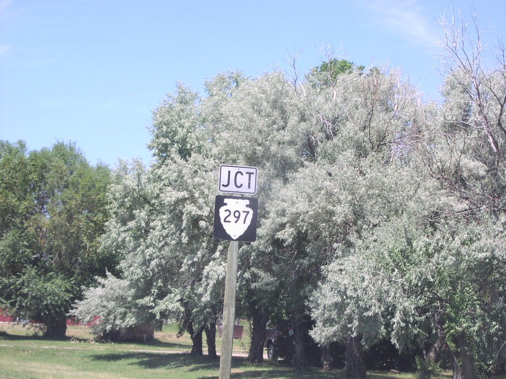
US-12 West/MT-3 North at MTS-297
US-12 west approaching MTS-297 north.
Taken 07-01-2006

 Shawmut
Wheatland County
Montana
United States
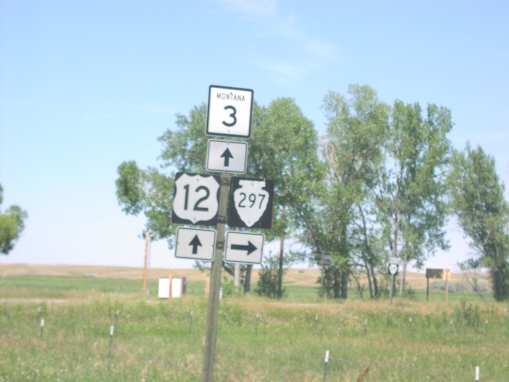
US-12 West/MT-3 North at MTS-297
US-12 west/MT-3 north at MTS-297 north.
Taken 07-01-2006
 Shawmut
Wheatland County
Montana
United States
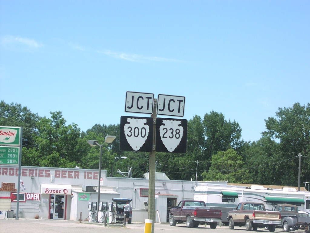
US-12 West/MT-3 North at MTS-300/MTS-238
US-12 west approaching MTS-300/MTS-238.
Taken 07-01-2006

 Ryegate
Golden Valley County
Montana
United States