Signs From Montana
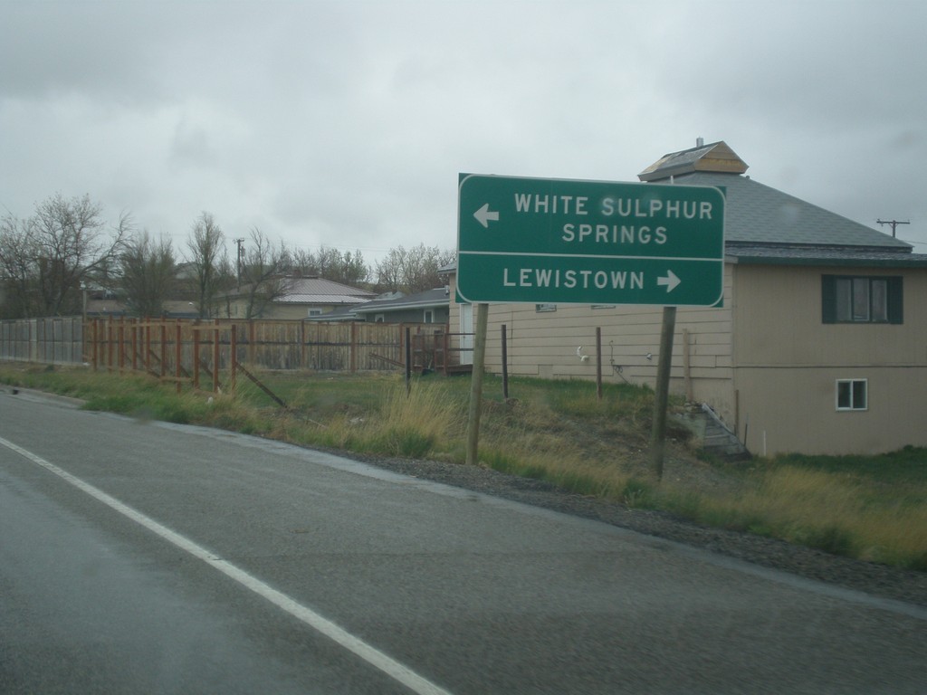
US-191 North Approaching US-12
US-191 north approaching US-12 in Harlowton. Turn left for US-12 west to White Sulphur Springs; right for US-191 North/US-12 East to Lewistown. US-191 North joins US-12 East through Harlowton.
Taken 05-08-2015

 Harlowton
Wheatland County
Montana
United States
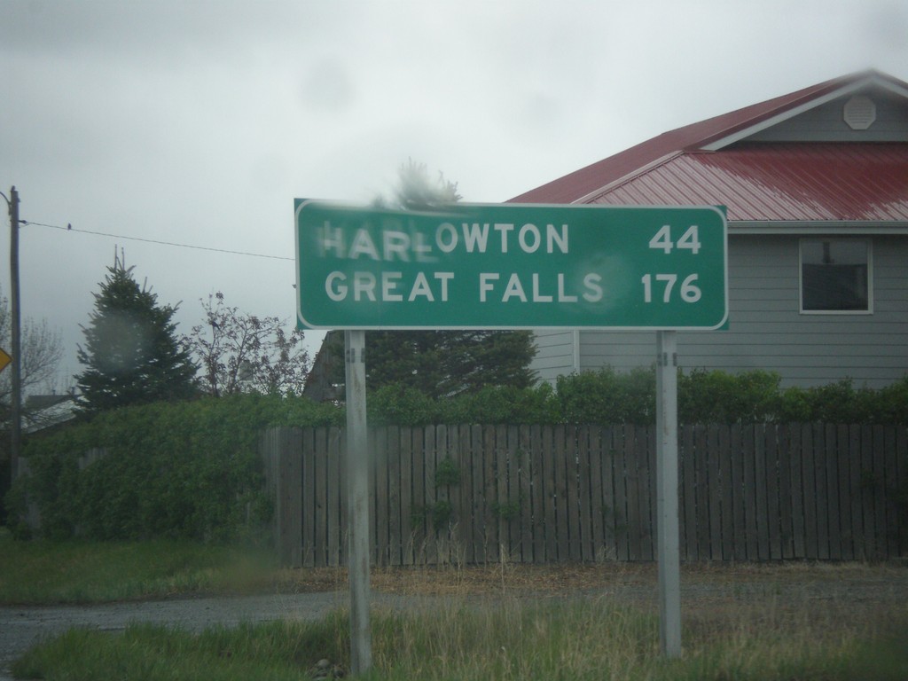
US-191 North - Distance Marker
Distance marker on US-191 north. Distance to Harlowton and Great Falls.
Taken 05-08-2015
 Big Timber
Sweet Grass County
Montana
United States
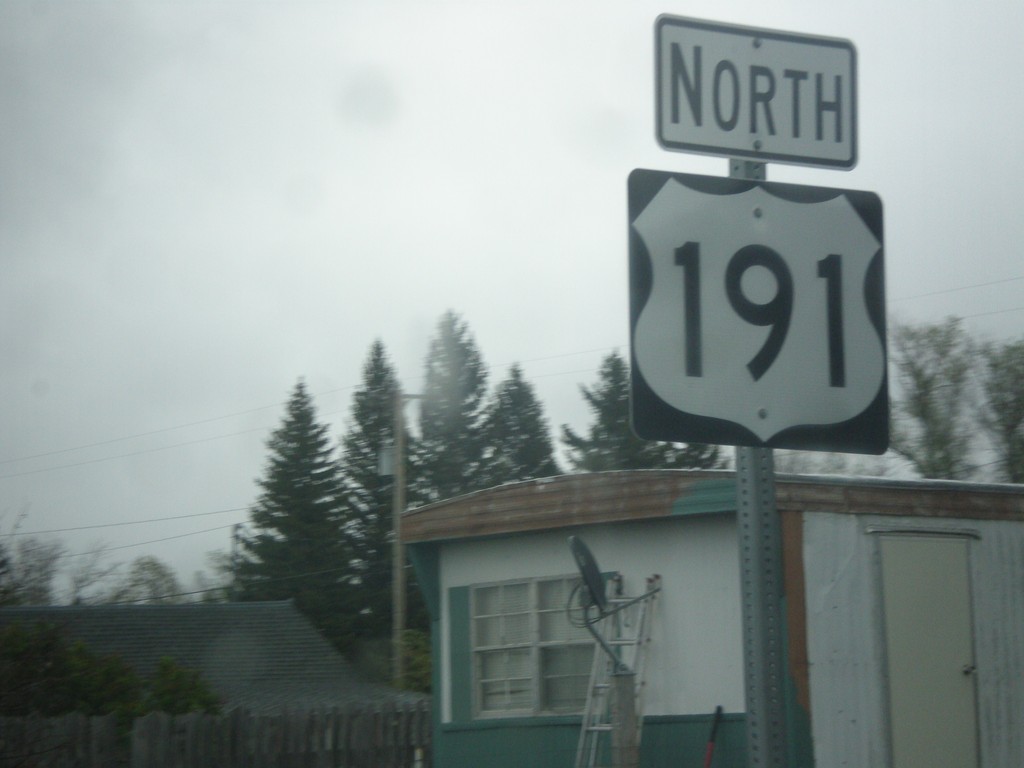
US-191 North - Big Timber
US-191 north shield in Big Timber.
Taken 05-08-2015
 Big Timber
Sweet Grass County
Montana
United States
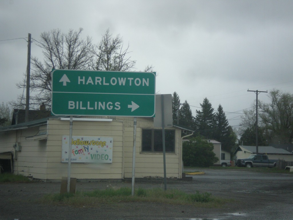
BL-90 East/US-191 North at BL-90/US-191 Split
BL-90 East/US-191 North at BL-90/US-191 split. Merge right on BL-90 for Billings; merge left on US-191 for Harlowton.
Taken 05-08-2015

 Big Timber
Sweet Grass County
Montana
United States
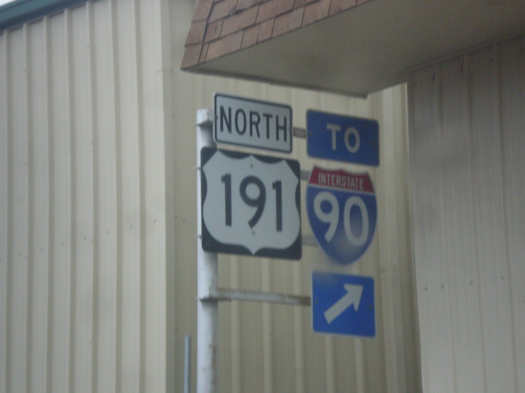
US-191 North/BL-90 East - Split
US-191 North/BL-90 East at US-191/BL-90 split in Big Timber. This sign assembly is confusing, because it appears to be missing an arrow that points either to the left or straight for US-191. BL-90 merges off to the right towards I-90.
Taken 05-08-2015


 Big Timber
Sweet Grass County
Montana
United States
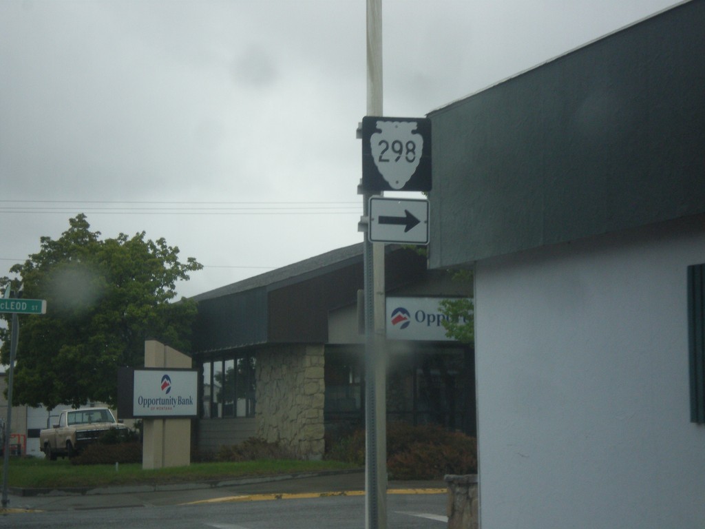
BL-90 East/US-191 North - MTS-298 Junction
BL-90 East/US-191 North at MTS-298 (McLeod St.) in Big Timber.
Taken 05-08-2015


 Big Timber
Sweet Grass County
Montana
United States
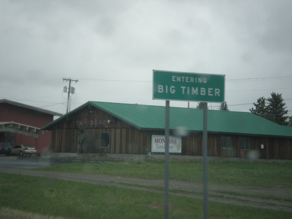
US-191 North/BL-90 East - Big Timber
Entering Big Timber on US-191 North/BL-90 East. Big Timber is the county seat of Sweet Grass County and is situated on the Yellowstone River.
Taken 05-08-2015

 Big Timber
Sweet Grass County
Montana
United States
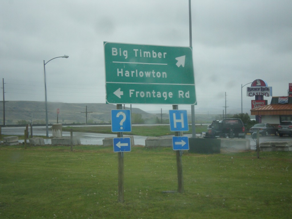
US-191 North/BL-90 East at Frontage Road
US-191 North/BL-90 East at Frontage Road. Turn right to continue on US-191 North/BL-90 east to Big Timber and Harlowton.
Taken 05-08-2015

 Big Timber
Sweet Grass County
Montana
United States
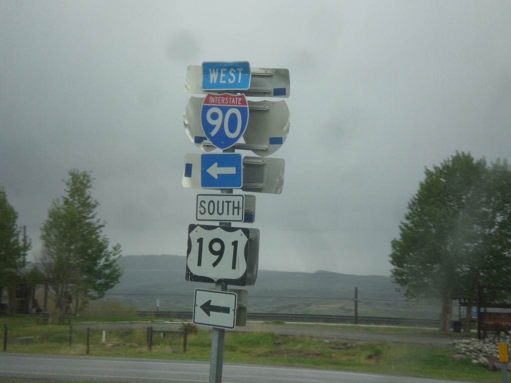
US-191 North/BL-90 East at I-90 West/US-191 South Onramp
US-191 North/BL-90 East at I-90 West/US-191 South Onramp in Big Timber. US-191 south joins I-90 west to Bozeman.
Taken 05-08-2015


 Big Timber
Sweet Grass County
Montana
United States
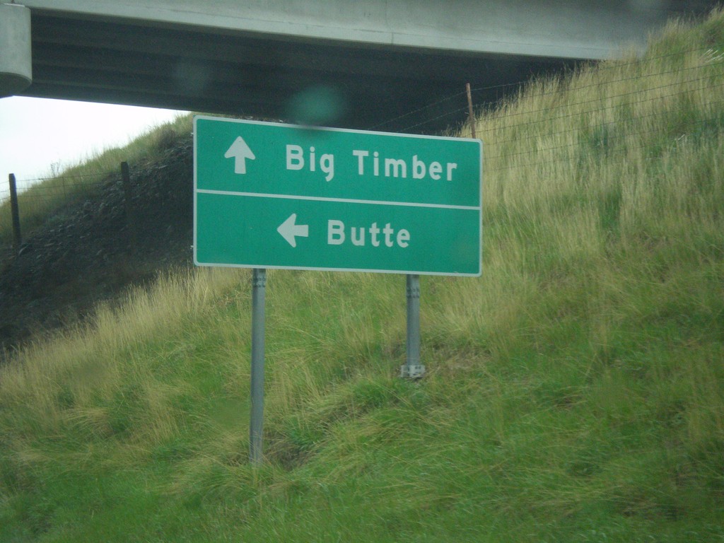
US-191 North/BL-90 East at I-90 West
US-191 North/BL-90 East at I-90 west. Turn left on I-90 West/US-191 South for Butte; continue straight for US-191 North/BL-90 East to Big Timber.
Taken 05-08-2015


 Big Timber
Sweet Grass County
Montana
United States