Signs From Nebraska
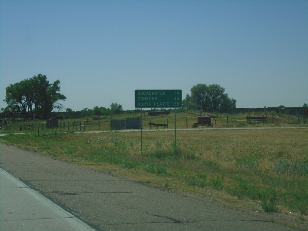
US-26 East - Distance Marker
Distance marker on US-26 east. Distance to Broadwater, Oshkosh, and North Platte (via I-80).
Taken 08-14-2020
 Bridgeport
Morrill County
Nebraska
United States
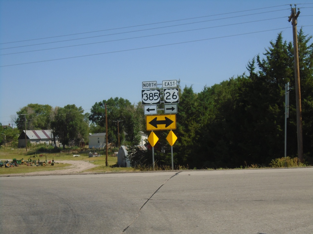
US-385 North/US-26 East at US-385/US-26 Split
US-385 North/US-26 East at US-385/US-26 split in Morrill County.
Taken 08-14-2020

 Bridgeport
Morrill County
Nebraska
United States
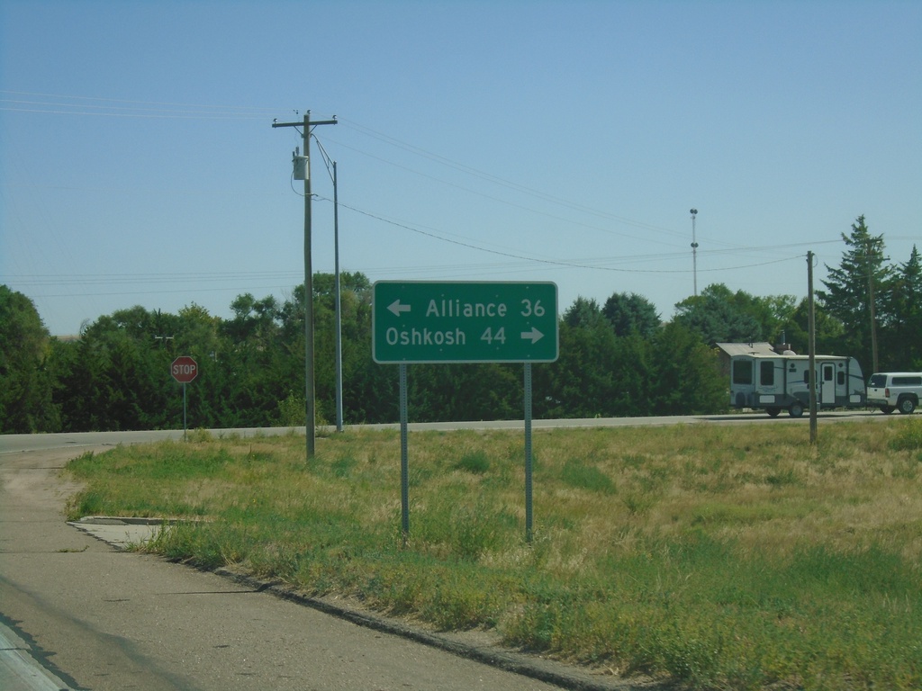
US-26 East/US-385 North Approaching US-26/US-385 Split
US-26 East/US-385 North approaching US-26/US-385 split. Turn left for US-385 North to Alliance; left for US-26 East to Oshkosh.
Taken 08-14-2020

 Bridgeport
Morrill County
Nebraska
United States
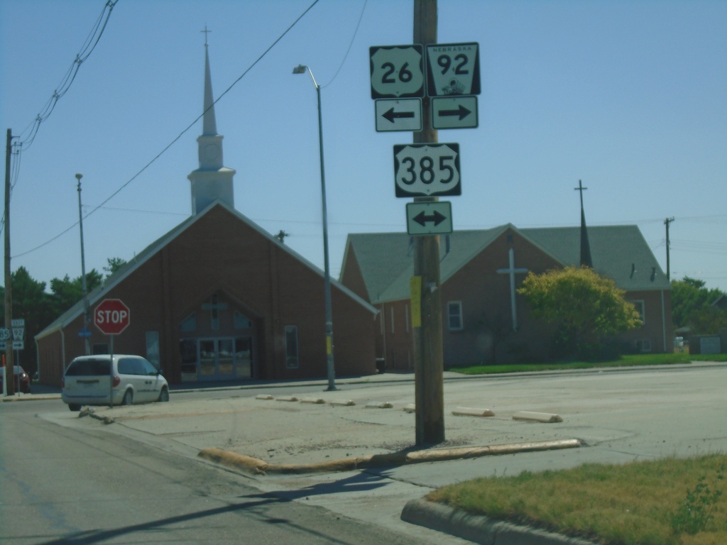
US-26/NE-92 East at NE-92/US-385
US-26/NE-92 East at NE-92 East/US-385 in Bridgeport. Turn right for US-385 South/NE-92 East; turn left for US-26 East/US-385 North. US-385 North joins US-26 East through Bridgeport.
Taken 08-14-2020


 Bridgeport
Morrill County
Nebraska
United States
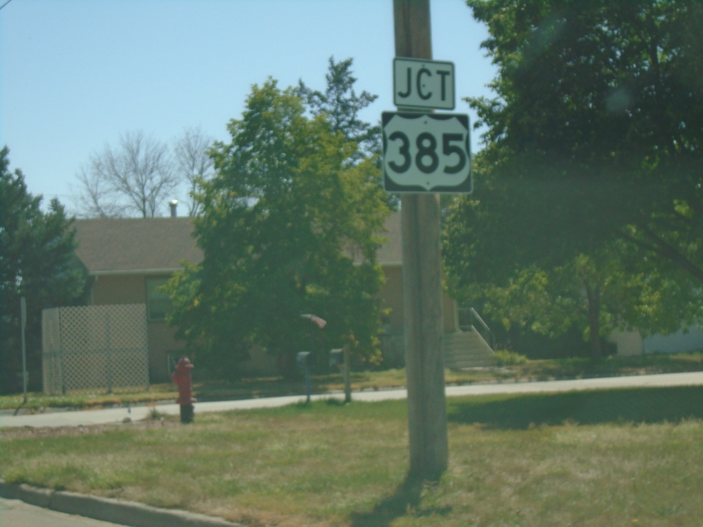
US-26/NE-92 East Approaching US-385
US-26/NE-92 East approaching US-385 in Bridgeport.
Taken 08-14-2020


 Bridgeport
Morrill County
Nebraska
United States
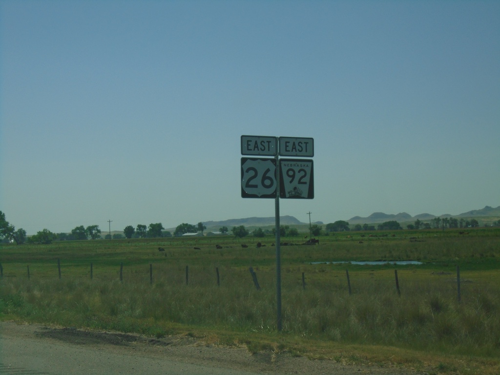
US-26 East/NE-92 East - Morrill County
US-26 East/NE-92 East - Morrill County
Taken 08-14-2020

 Bayard
Morrill County
Nebraska
United States
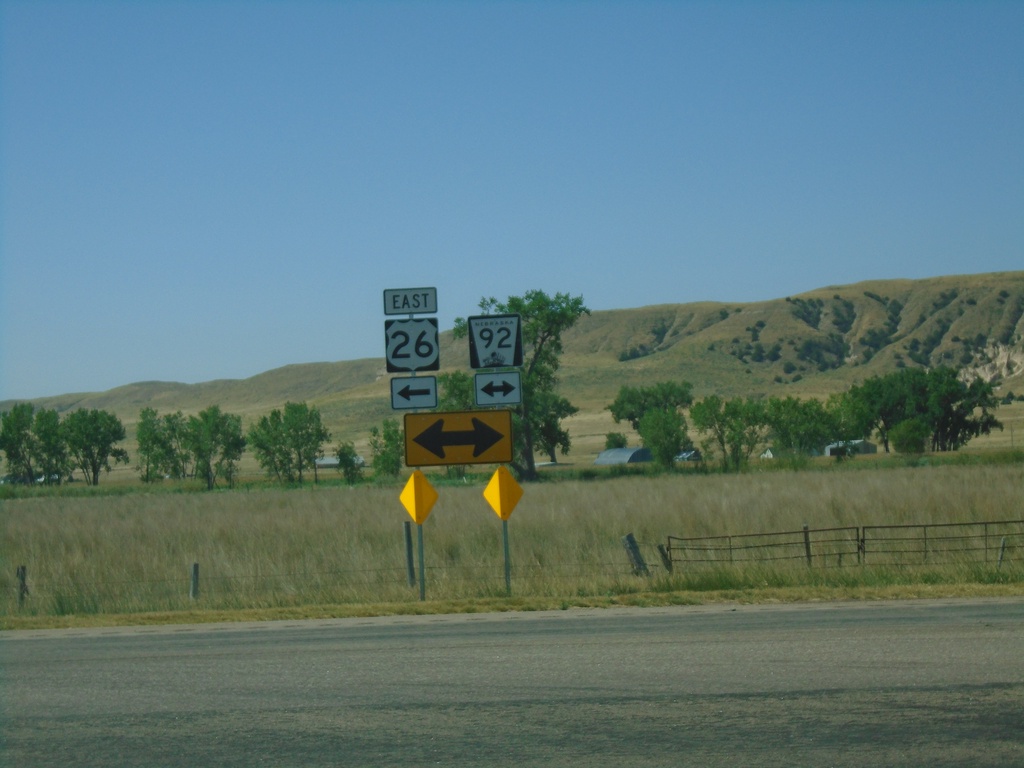
US-26 East at NE-92
US-26 East at NE-92 in Morrill County. Turn right for NE-92 West; left for US-26/NE-92 East.
Taken 08-14-2020

 Bayard
Morrill County
Nebraska
United States
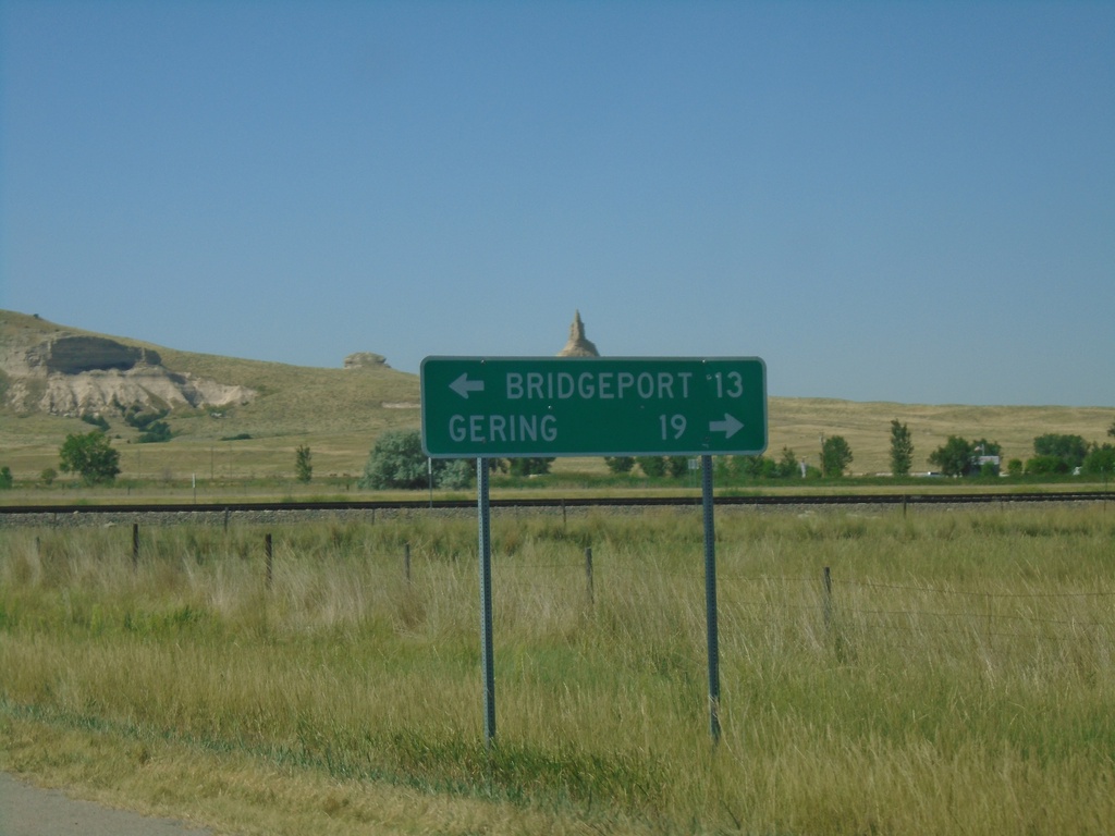
US-26 East Approaching NE-92
US-26 East approaching NE-92. Use NE-92 West for Gering; US-26/NE-92 East for Bridgeport.
Taken 08-14-2020

 Bayard
Morrill County
Nebraska
United States
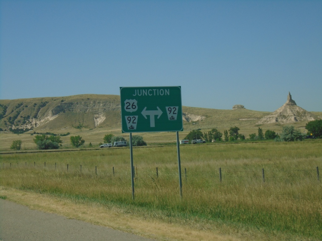
US-26 East Approaching NE-92
US-26 East Approaching NE-92 in Morrill County. NE-92 East joins US-26 east to Bridgeport. Chimney Rock is in the background of the photo.
Taken 08-14-2020

 Bayard
Morrill County
Nebraska
United States
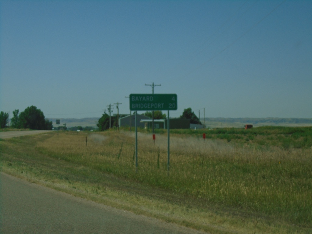
US-26 East - Distance Marker
Distance marker on US-26 east. Distance to Bayard and Bridgeport.
Taken 08-14-2020
 Bayard
Morrill County
Nebraska
United States