Signs From Nebraska
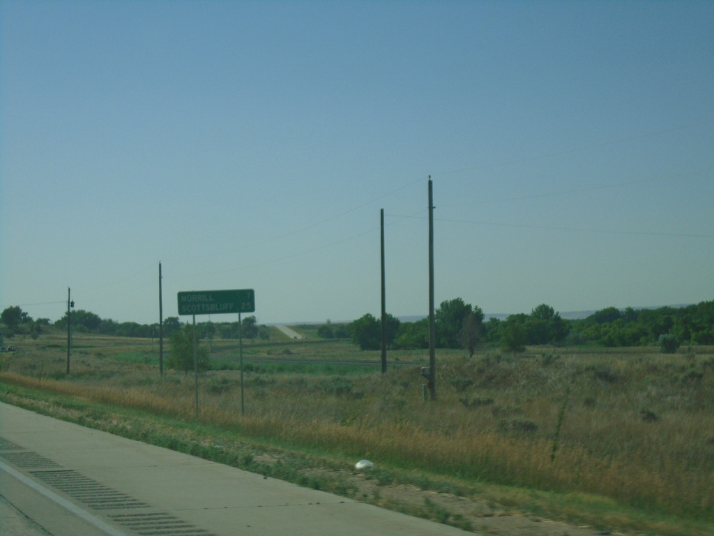
US-26 East - Distance Marker
Distance marker on US-26 east. Distance to Morrill and Scottsbluff. This is the first distance marker eastbound on US-26 in Nebraska.
Taken 08-14-2020
 Henry
Scotts Bluff County
Nebraska
United States
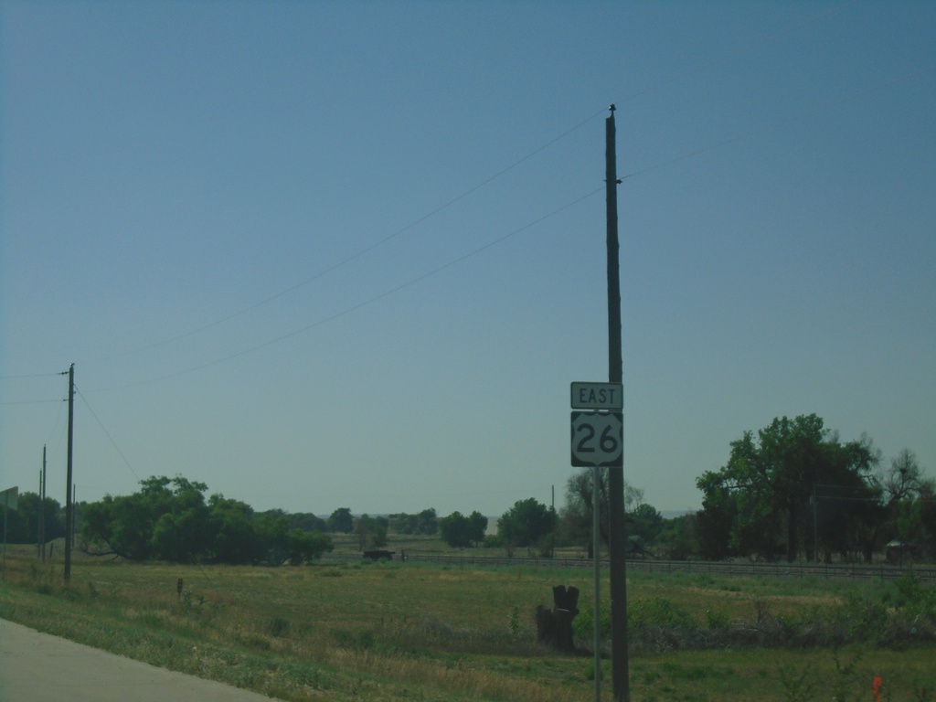
US-26 East - Scotts Bluff County
US-26 East shield Scotts Bluff County. This is the first US-26 shield eastbound in Nebraska.
Taken 08-14-2020
 Henry
Scotts Bluff County
Nebraska
United States
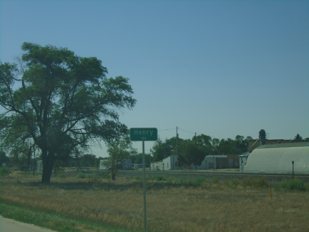
US-26 East - Henry
Entering Henry on US-26 East - Population 106.
Taken 08-14-2020
 Morrill
Scotts Bluff County
Nebraska
United States
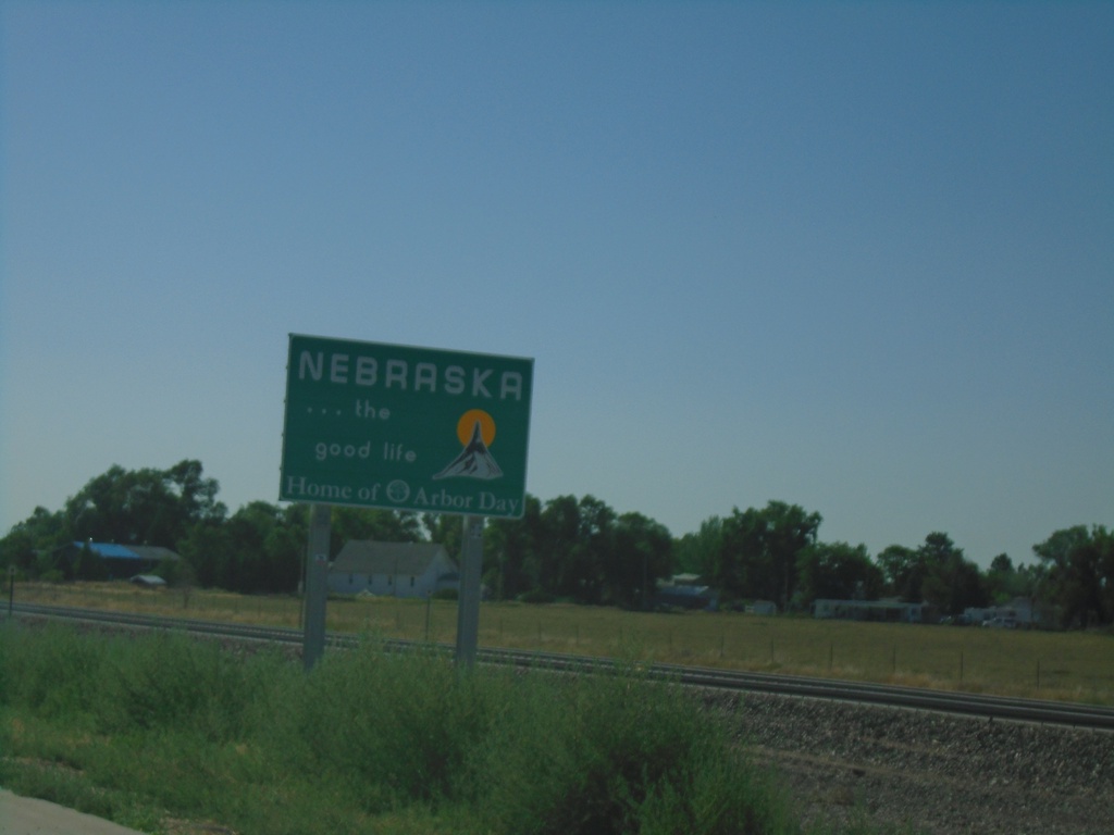
US-26 East - Nebraska
Entering Nebraska on US-26 east.
Taken 08-14-2020
 Morrill
Sioux County
Nebraska
United States
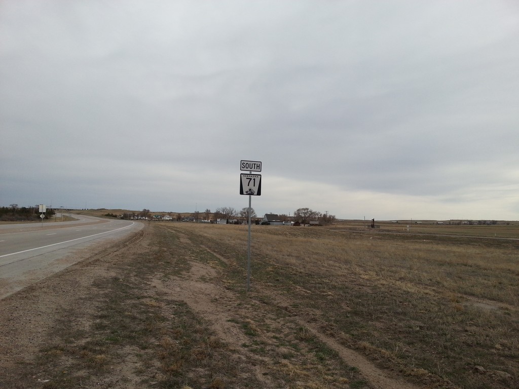
NE-71 South - Kimball County
NE-71 south in Kimball County, Nebraska.
Taken 03-30-2014
 Kimball
 County
Nebraska
United States
Kimball
Kimball County
Nebraska
United States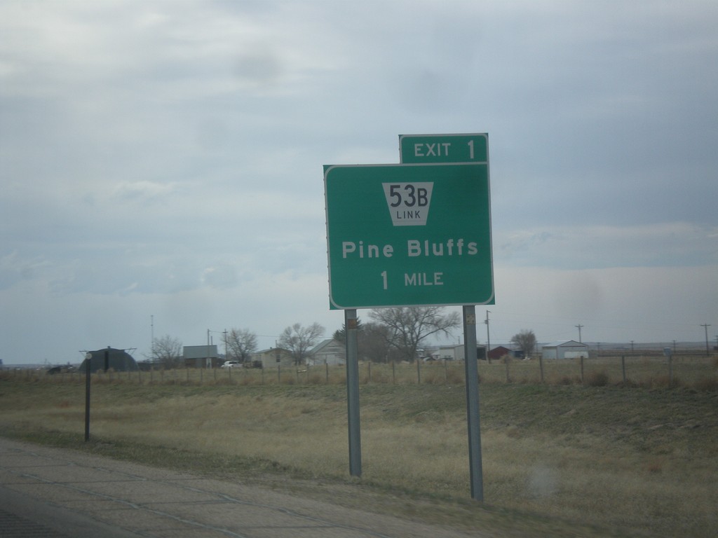
I-80 West - Exit 1
I-80 west approaching Exit 1 - NE-53B Link/Pine Bluffs. This is the last exit on I-80 west in Nebraska.
Taken 03-30-2014

 Bushnell
Kimball County
Nebraska
United States
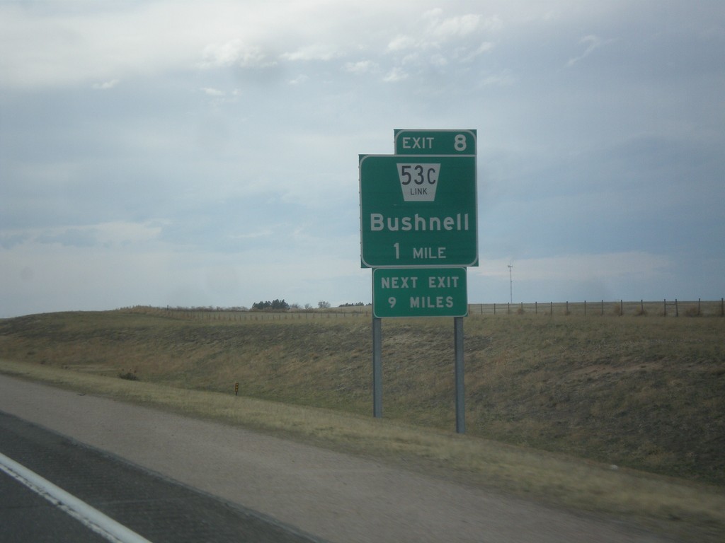
I-80 West - Exit 8
I-80 west approaching Exit 8 - NE-53C Link/Bushnell. Next exit along I-80 west is 9 miles, at Pine Bluffs.
Taken 03-30-2014

 Bushnell
Kimball County
Nebraska
United States
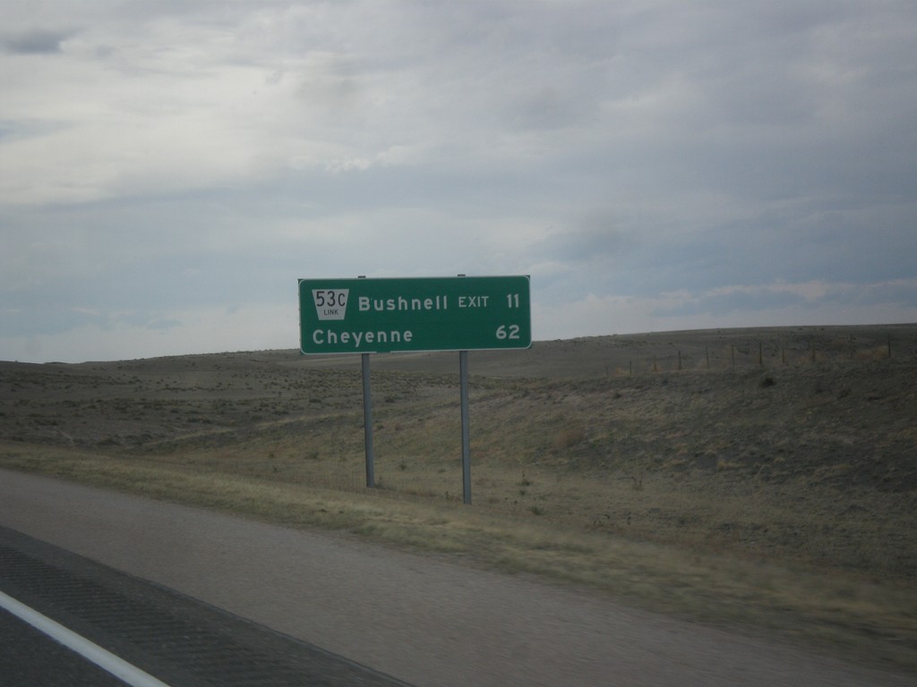
I-80 West - Distance Marker
Distance marker on I-80 west. Distance to NE-53C Link/Bushell Exit and Cheyenne (Wyoming).
Taken 03-30-2014
 Kimball
 County
Nebraska
United States
Kimball
Kimball County
Nebraska
United States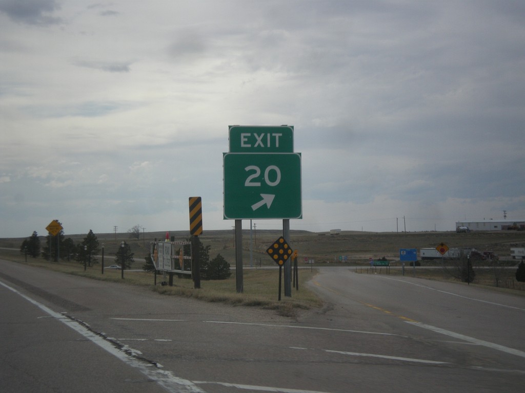
I-80 West - Exit 20 Gore
Exit 20 gore on I-80 west. This is a standard Nebraska exit gore sign.
Taken 03-30-2014

 Kimball
 County
Nebraska
United States
Kimball
Kimball County
Nebraska
United States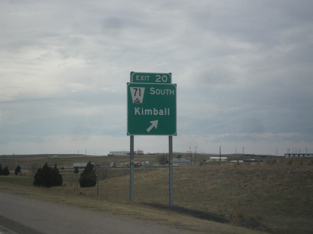
I-80 West - Exit 20
I-80 west at Exit 20 - NE-71 South/Kimball. NE-71 leaves I-80 westbound here.
Taken 03-30-2014

 Kimball
 County
Nebraska
United States
Kimball
Kimball County
Nebraska
United States