Signs From Nevada
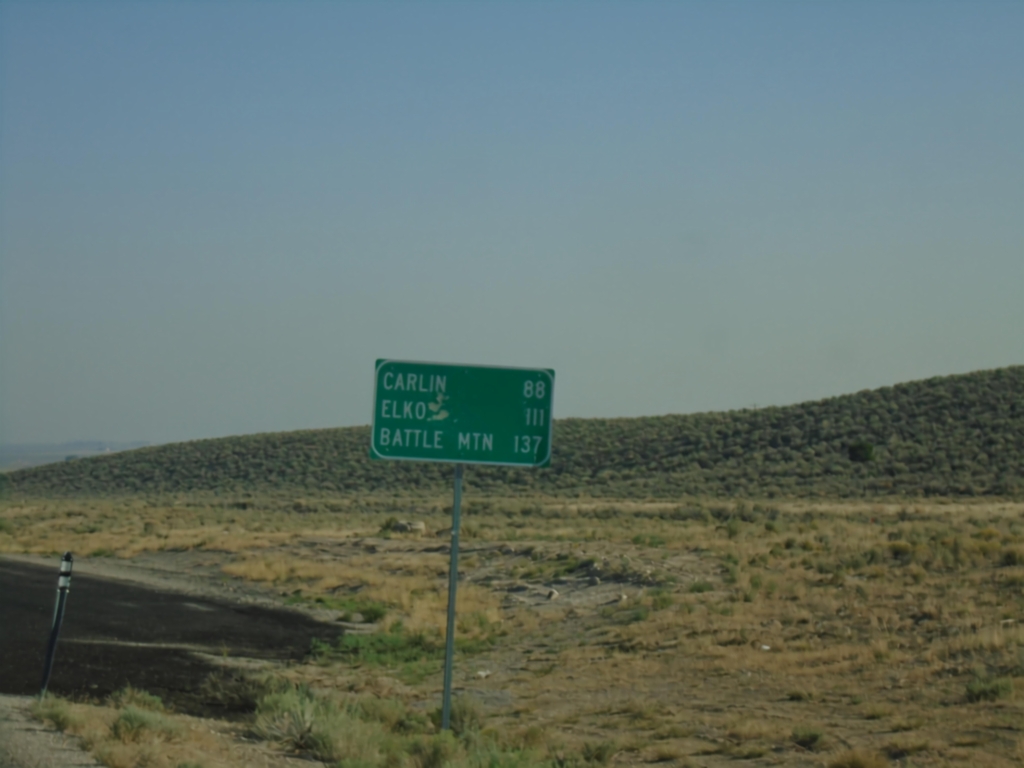
NV-278 North - Distance Marker
Distance marker on NV-278 north. Distance to Carlin, Elko, and Battle Mountain.
Taken 08-03-2026
 Eureka
 County
Nevada
United States
Eureka
Eureka County
Nevada
United States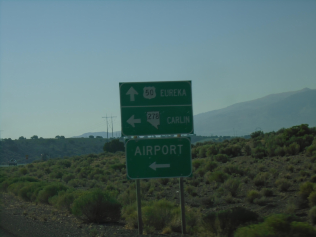
US-50 East at NV-278
US-50 East at NV-278 in Eureka. Use NV-278 North to Carlin and Eureka Airport (EUE). Continue east on US-50 to Eureka.
Taken 08-03-2026
 Eureka
 County
Nevada
United States
Eureka
Eureka County
Nevada
United States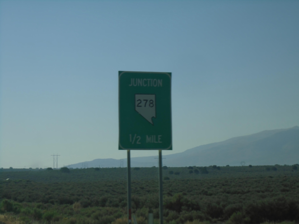
US-50 East Approaching NV-278
US-50 East approaching NV-278 in Eureka.
Taken 08-03-2026
Eureka
Eureka County
Nevada
United States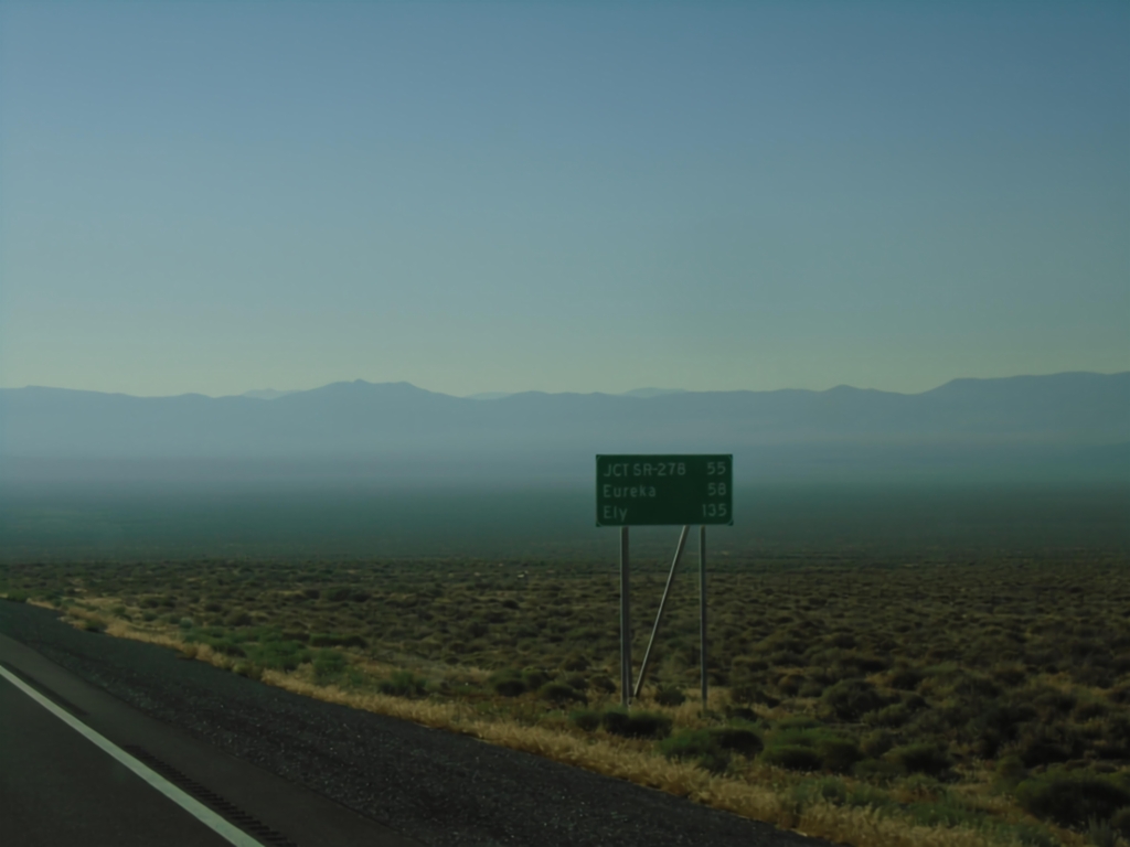
US-50 East - Distance Marker
Distance marker on US-50 east. Distance to Jct. SR-278, Eureka, and Ely. Haze in photograph is due to numerous wildfires in area.
Taken 08-03-2026
Lander County
Nevada
United States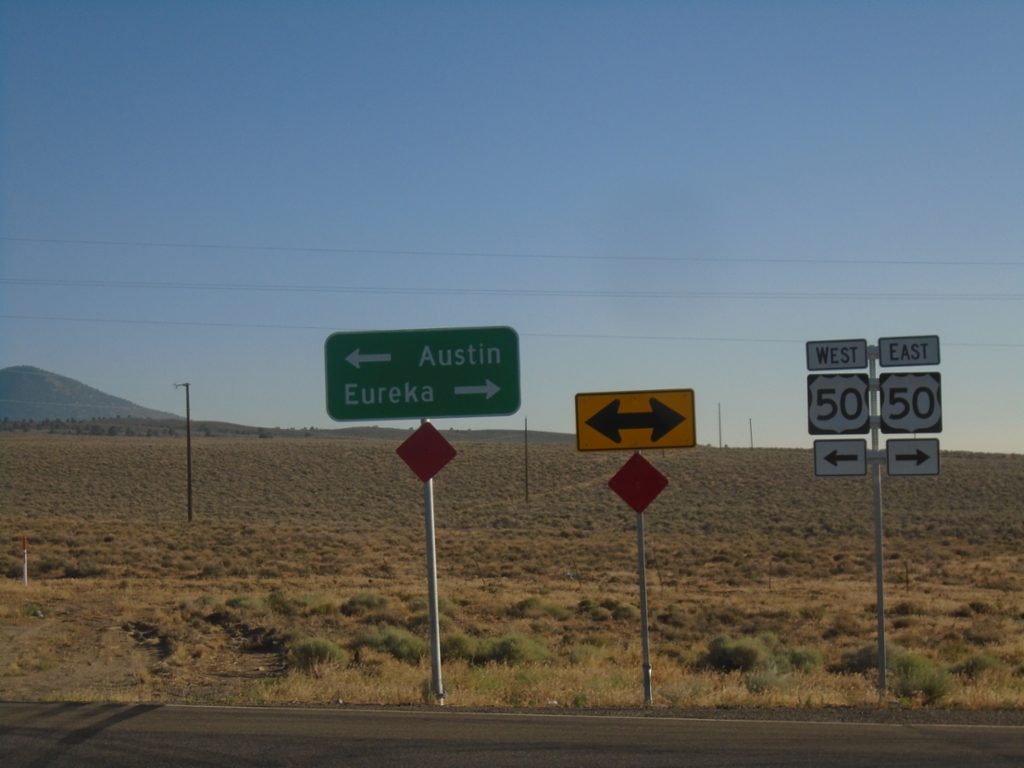
End NV-376 North at US-50
End NV-376 North at US-50. Use US-50 West to Austin; US-50 East to Eureka.
Taken 08-03-2026
 Lander County
Nevada
United States
Lander County
Nevada
United States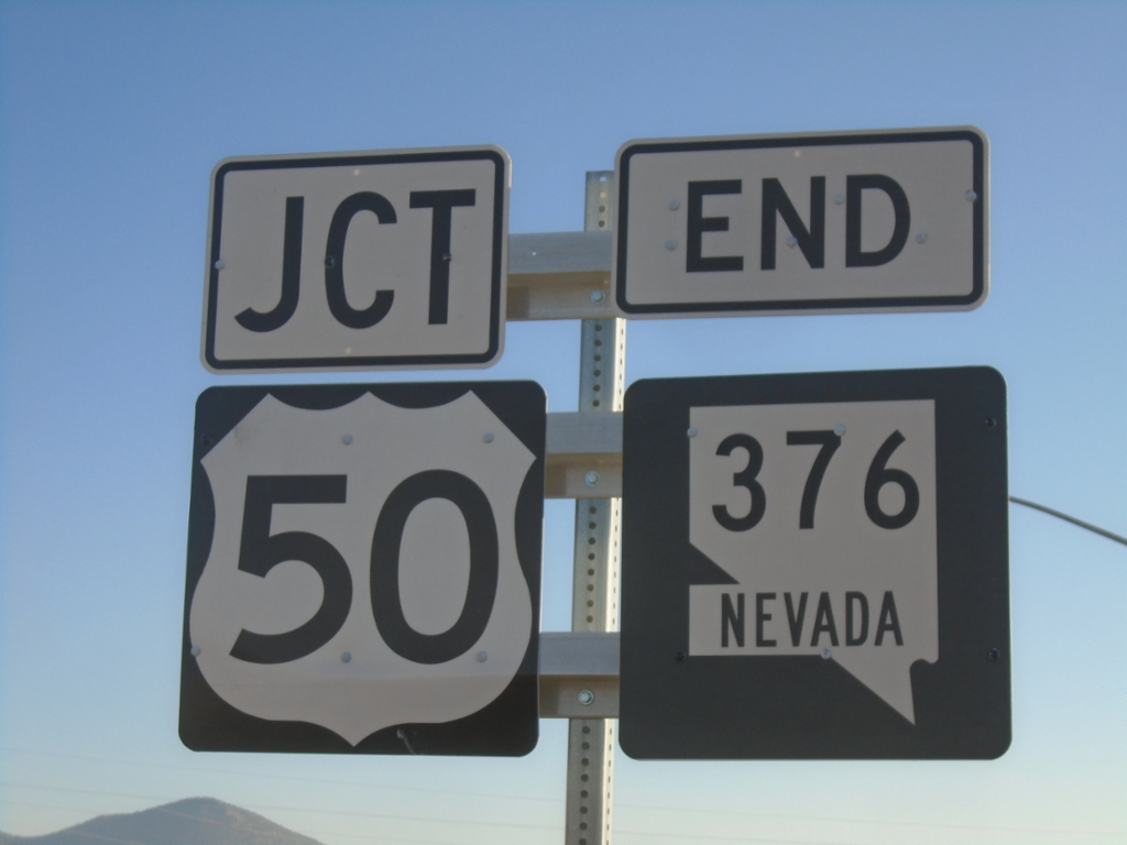
End NV-376 North at US-50
End NV-376 North at US-50 in Lander County.
Taken 08-03-2026
Lander County
Nevada
United States
NV-376 North Approaching US-50
NV-376 North approaching US-50 in Lander County.
Taken 08-03-2026
Lander County
Nevada
United States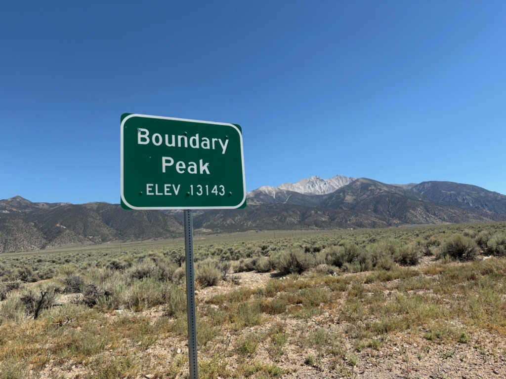
US-6 - Boundary Peak
Scenic pullout on US-6 West with view of Boundary Peak - Elevation 13143 Feet. Boundary Peak is the highest point in Nevada, and is in the background of the photograph. The author of this site had just climbed Boundary Peak earlier that day.
Taken 08-02-2026
 Mineral County
Nevada
United States
Mineral County
Nevada
United States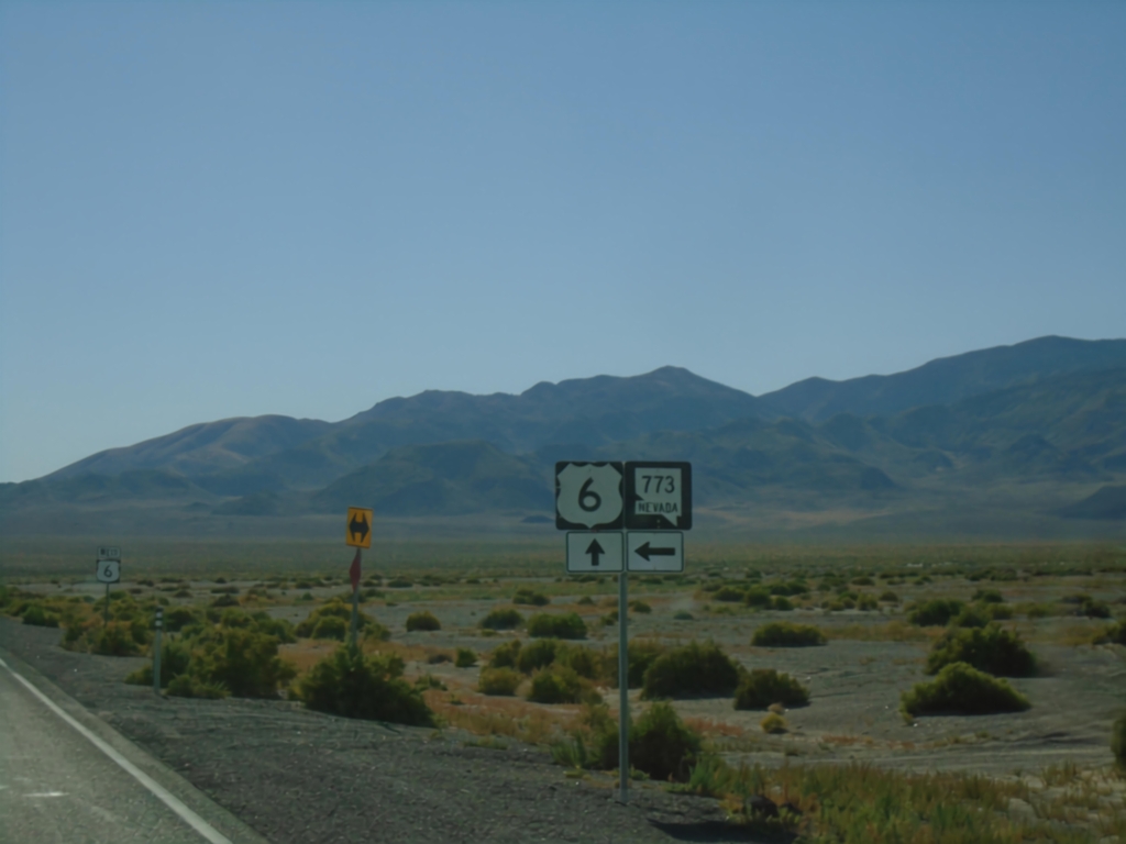
US-6 West at NV-773
US-6 West at NV-773 junction in Esmeralda County.
Taken 08-01-2026
 Esmeralda County
Nevada
United States
Esmeralda County
Nevada
United States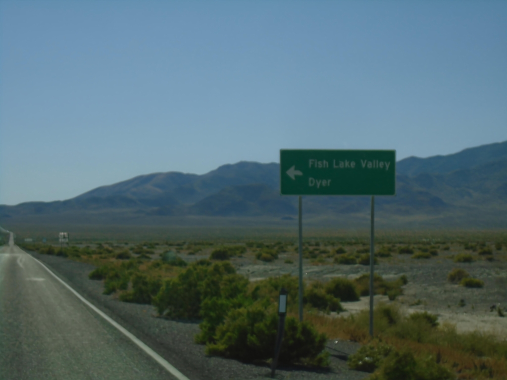
US-6 West at NV-773
US-6 west at NV-773 south to Fishlake Valley and Dyer.
Taken 08-01-2026
Coaldale
Esmeralda County
Nevada
United States