Signs From Nevada
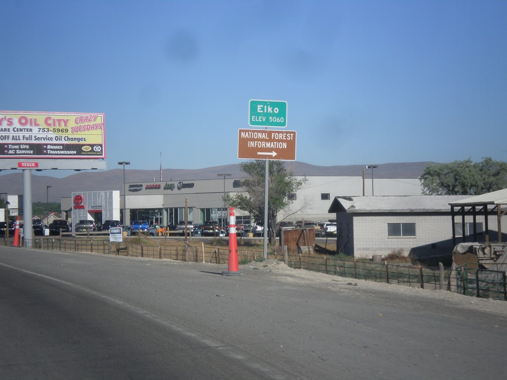
NV-227 West - Entering Elko
Entering Elko on NV-227 West. Elevation 5,060.
Taken 06-21-2014
 Elko
Elko County
Nevada
United States
Elko
Elko County
Nevada
United States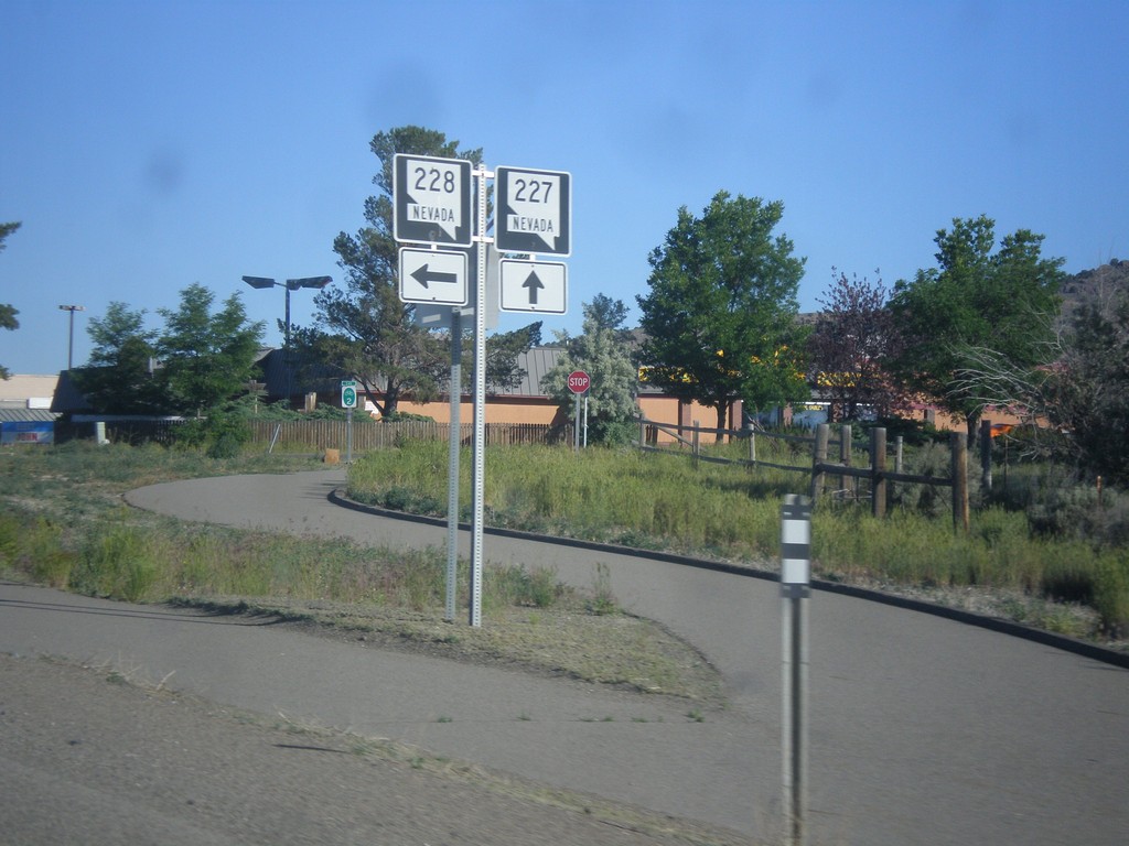
NV-227 West at NV-228 South
NV-227 West at NV-228 South in Spring Creek.
Taken 06-21-2014

 Spring Creek
Elko County
Nevada
United States
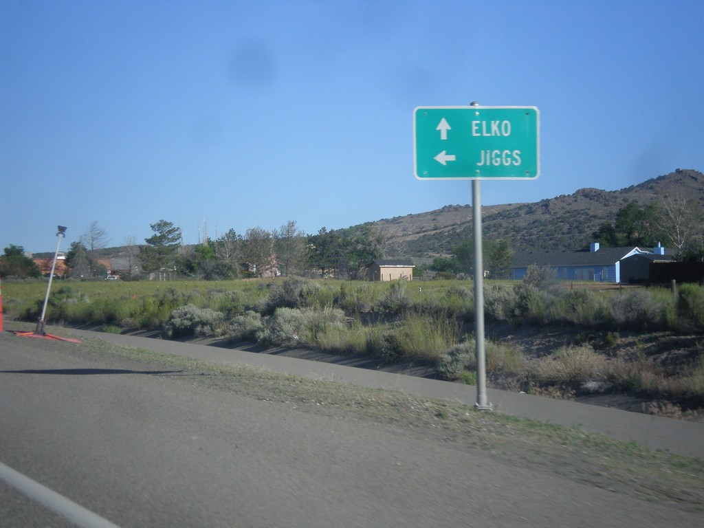
NV-227 West at NV-228
NV-227 West at NV-228 South. Use NV-228 south to Jiggs; continue west for NV-227 to Elko.
Taken 06-21-2014

 Spring Creek
Elko County
Nevada
United States
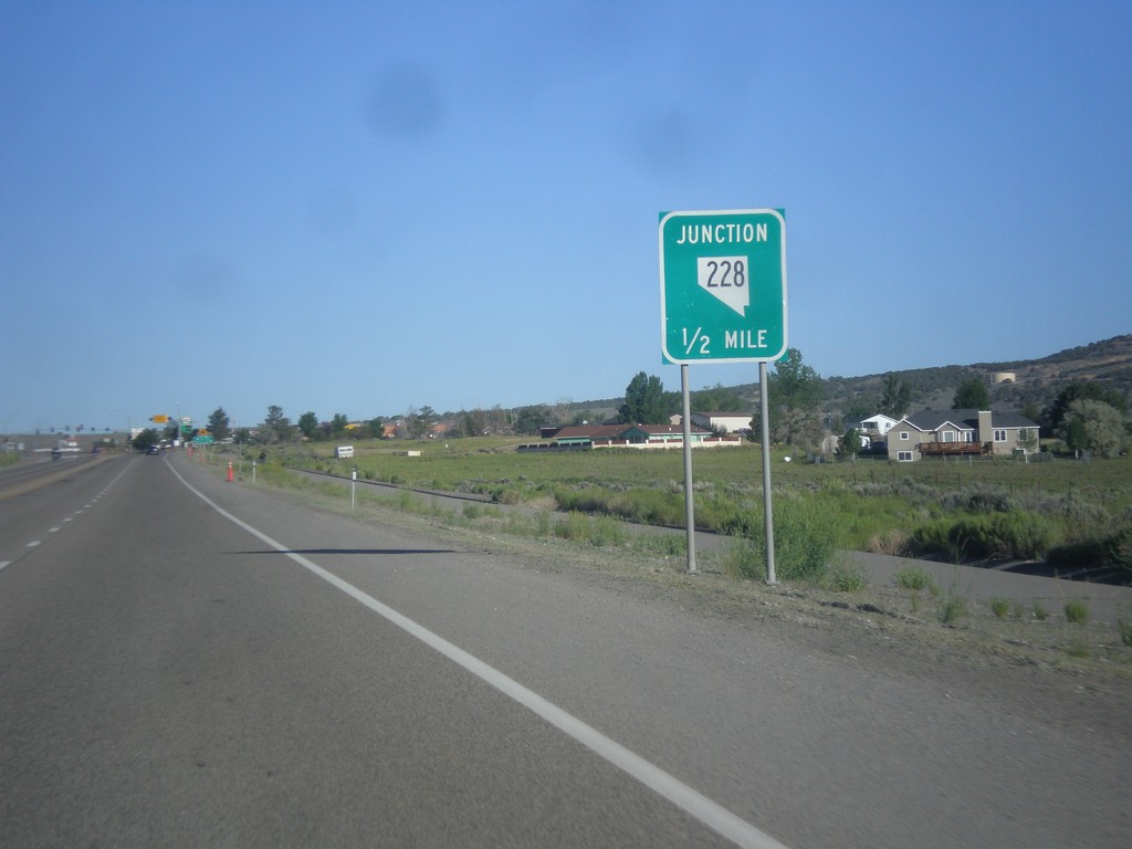
NV-227 West Approaching NV-228
NV-227 West approaching NV-228 south in Spring Creek.
Taken 06-21-2014

 Spring Creek
Elko County
Nevada
United States
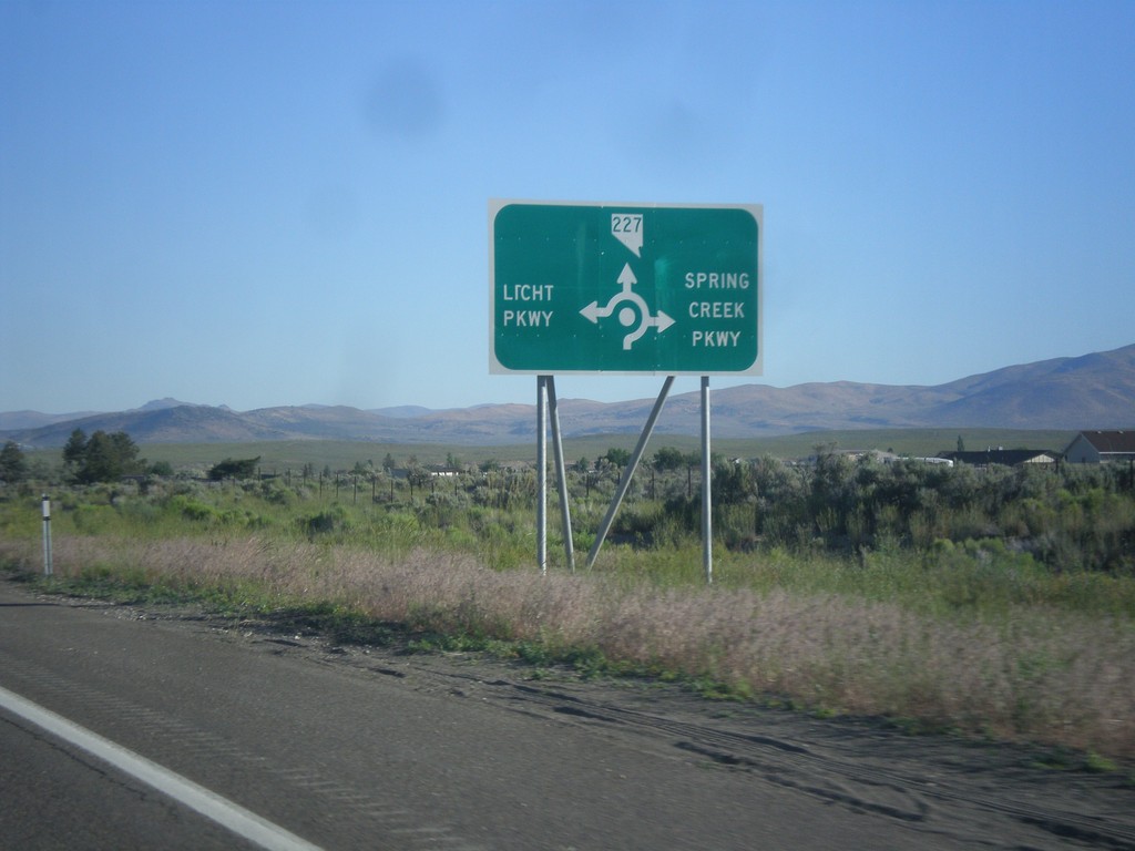
NV-227 West - Spring Creek Parkway and Licht Parkway
NV-227 west approaching roundabout at Spring Creek Parkway and Licht Parkway.
Taken 06-21-2014
 Spring Creek
Elko County
Nevada
United States
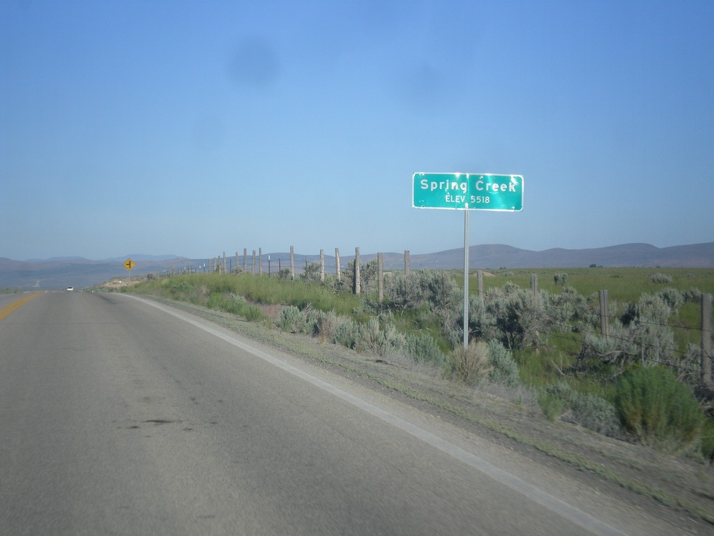
Spring Creek - Elevation 5518
Entering Spring Creek - Elevation 5518 on NV-227 west.
Taken 06-21-2014
 Spring Creek
Elko County
Nevada
United States
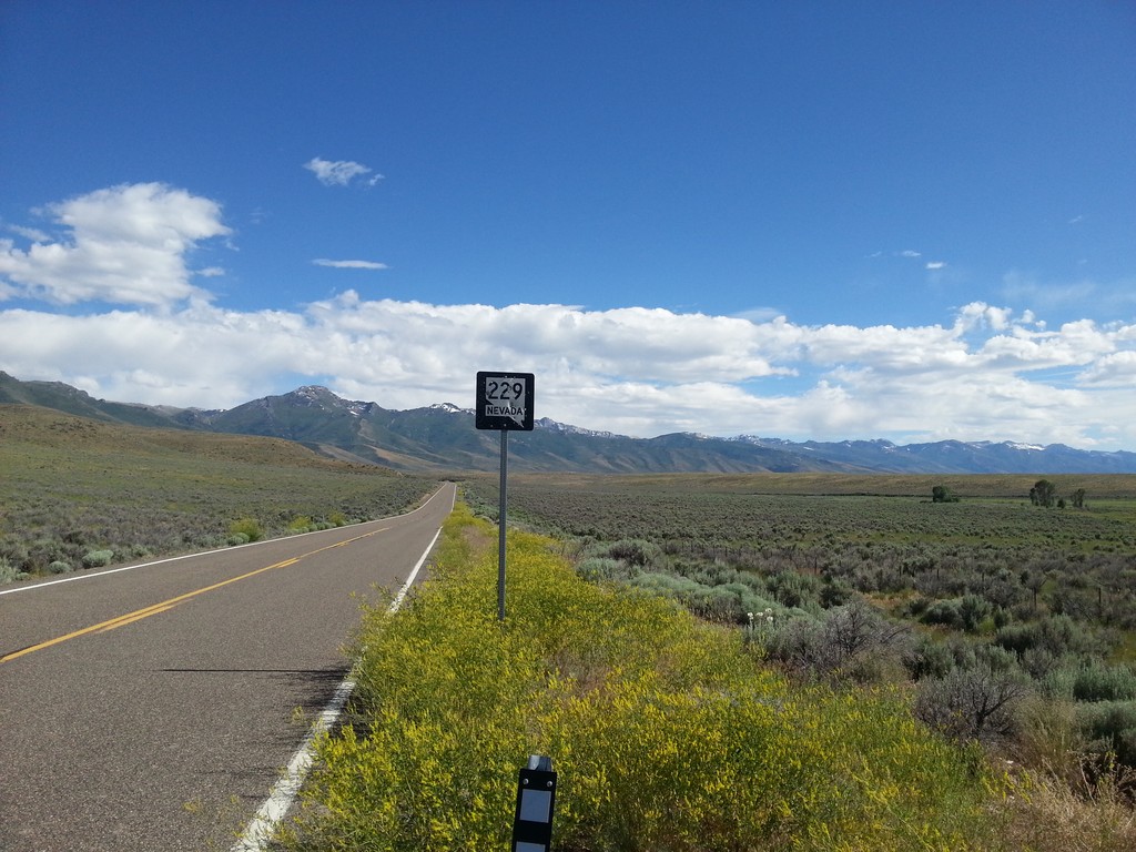
NV-229 - Elko County
NV-229 shield in Elko County, beginning climb towards Secret Pass.
Taken 06-21-2014
 Lamoille
Elko County
Nevada
United States
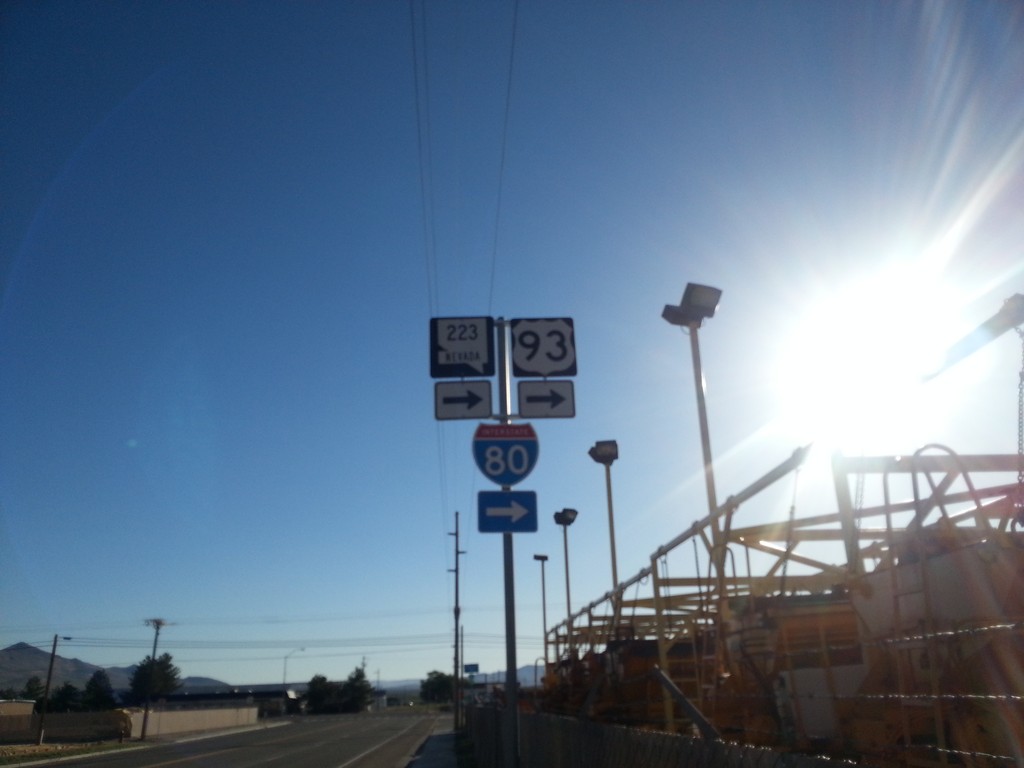
BL-80/NV-223 East At 6th St.
BL-80/NV-223 east (Humboldt Ave.) at 6th St in Wells. Turn right to continue east on BL-80/NV-223 and for I-80.
Taken 06-21-2014


 Wells
Elko County
Nevada
United States
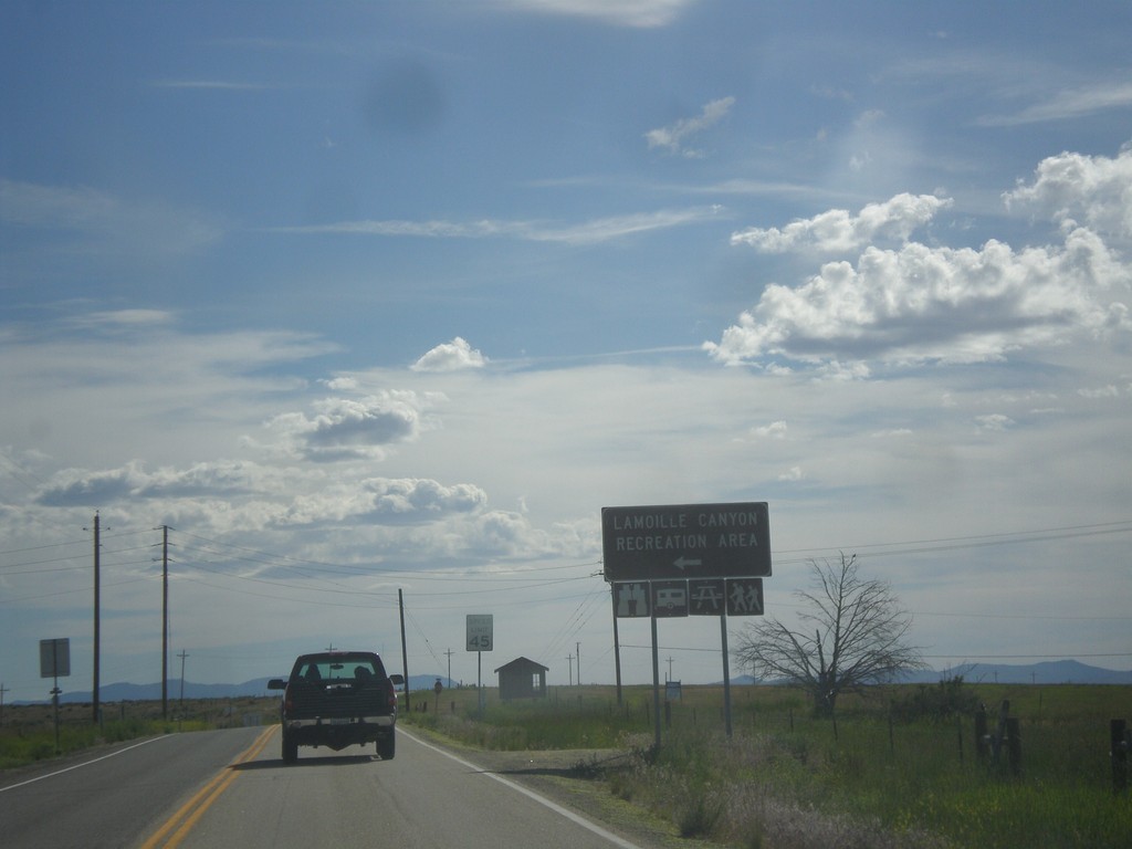
NV-227 West - Lamoille Canyon Jct.
NV-227 west at Lamoille Canyon Recreation Area junction.
Taken 06-21-2014
 Lamoille
Elko County
Nevada
United States
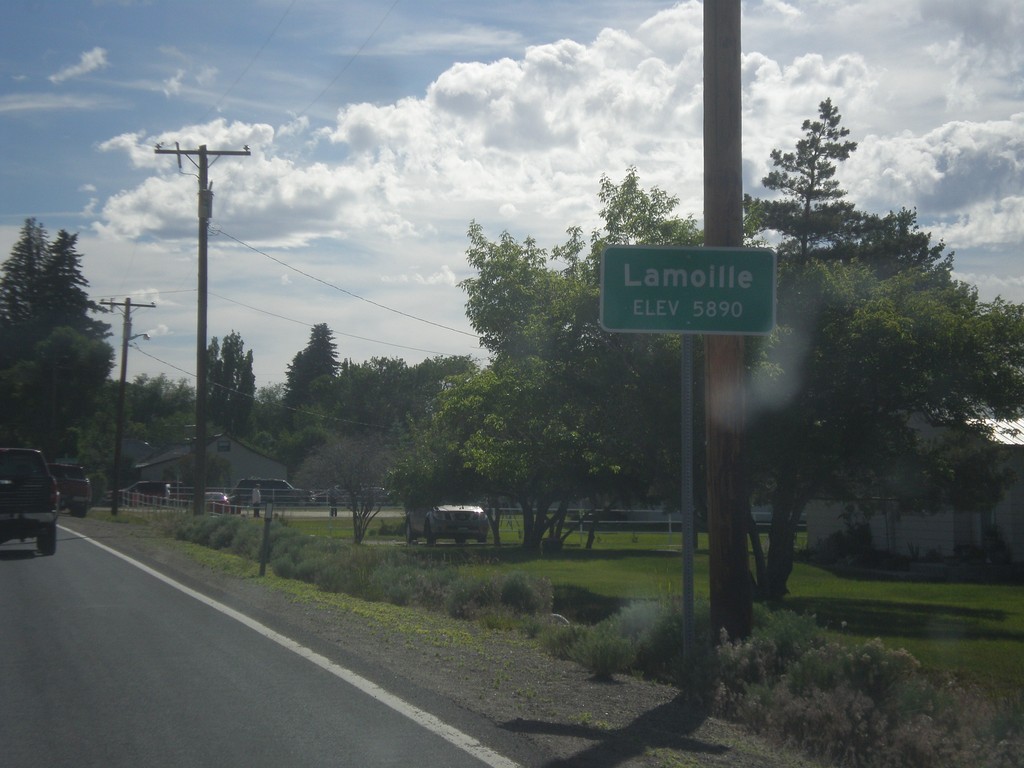
Lamoille - Elevation 5,890
Entering Lamoille on NV-227 south.
Taken 06-21-2014
 Lamoille
Elko County
Nevada
United States