Signs From Nevada
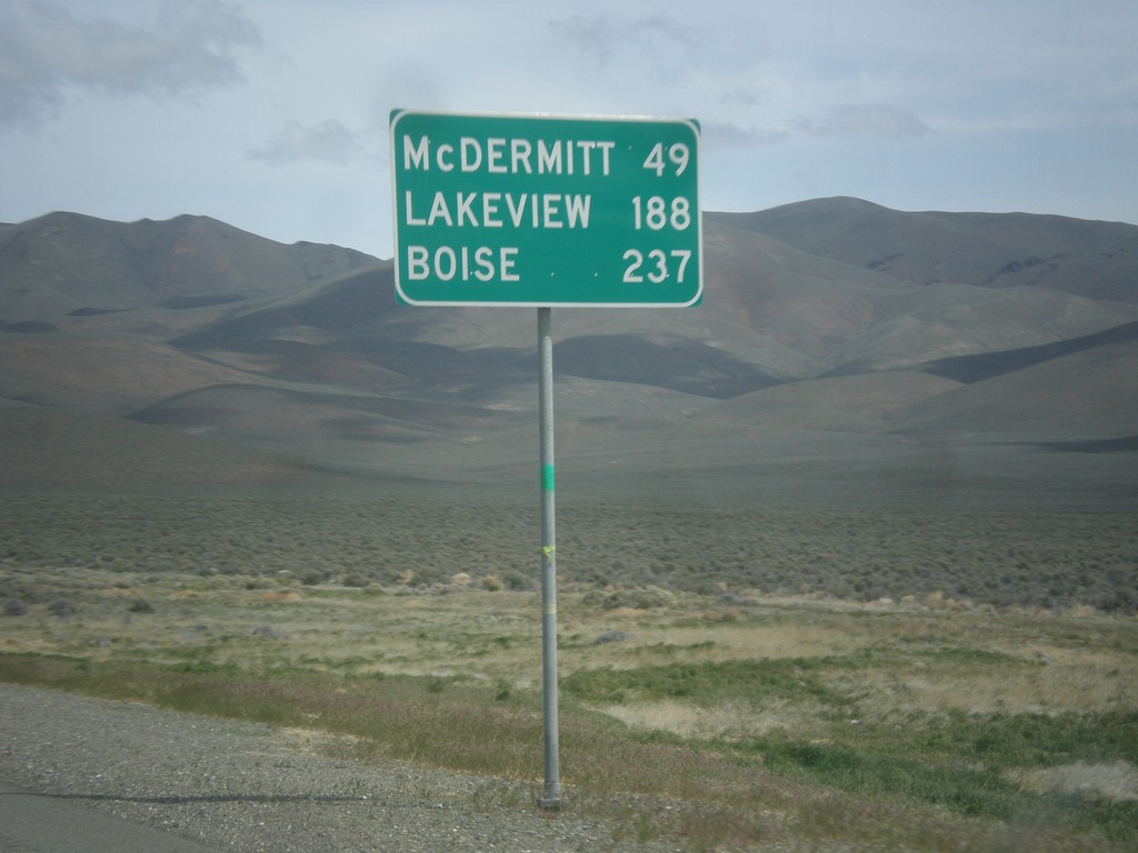
US-95 North - Distance Marker
Distance marker on US-95 north. Distance to McDermit, Lakeview (Oregon - via NV-140), and Boise (Idaho).
Taken 05-06-2014
 Winnemucca
Humboldt County
Nevada
United States
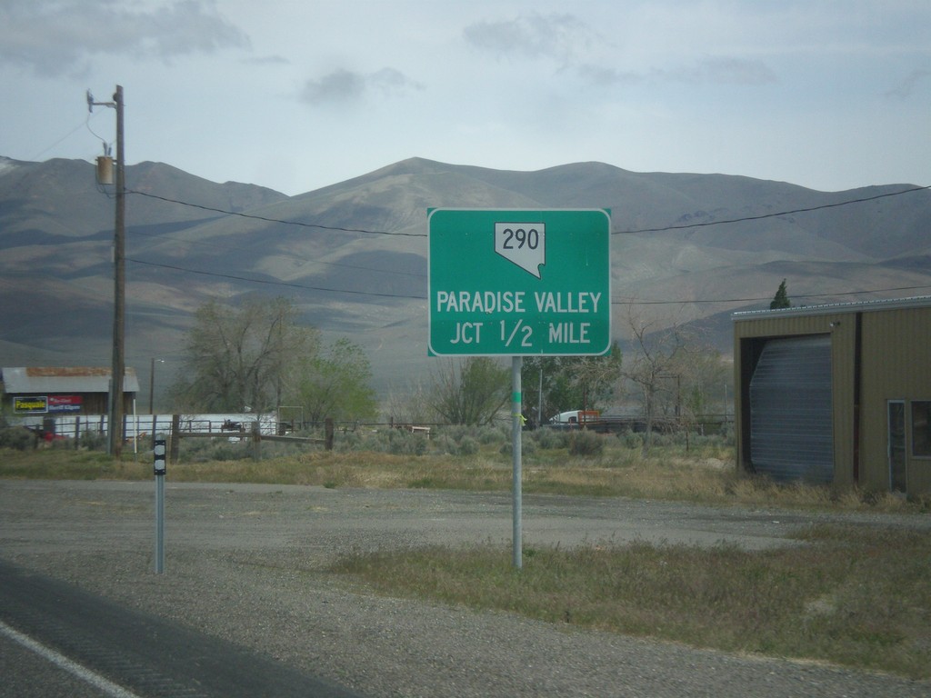
US-95 North Approaching NV-290
US-95 north approaching NV-290 to Paradise Valley.
Taken 05-06-2014

 Winnemucca
Humboldt County
Nevada
United States
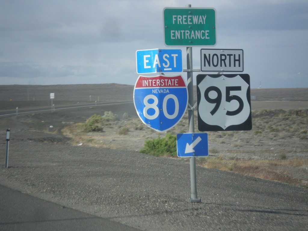
US-95 North at I-80 East (Exit 83)
US-95 north at I-80 (Exit 83) onramp. US-95 north joins I-80 east to Winnemucca.
Taken 05-05-2014


 Churchill County
Nevada
United States
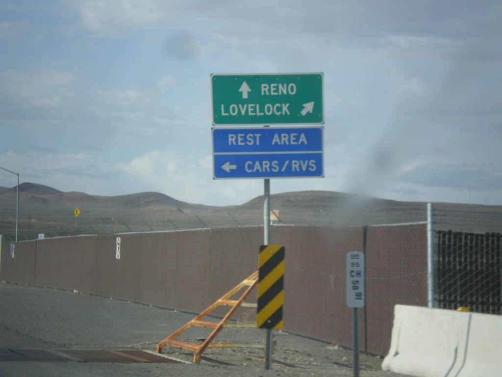
US-95 North Approaching I-80
US-95 north approaching I-80. Use I-80 East/US-95 North to Lovelock; use I-80 West/Alt. US-95 South to Reno. Turn left to enter the Rest Area. Notice the post mile marker at the base of the sign.
Taken 05-05-2014


 Churchill County
Nevada
United States
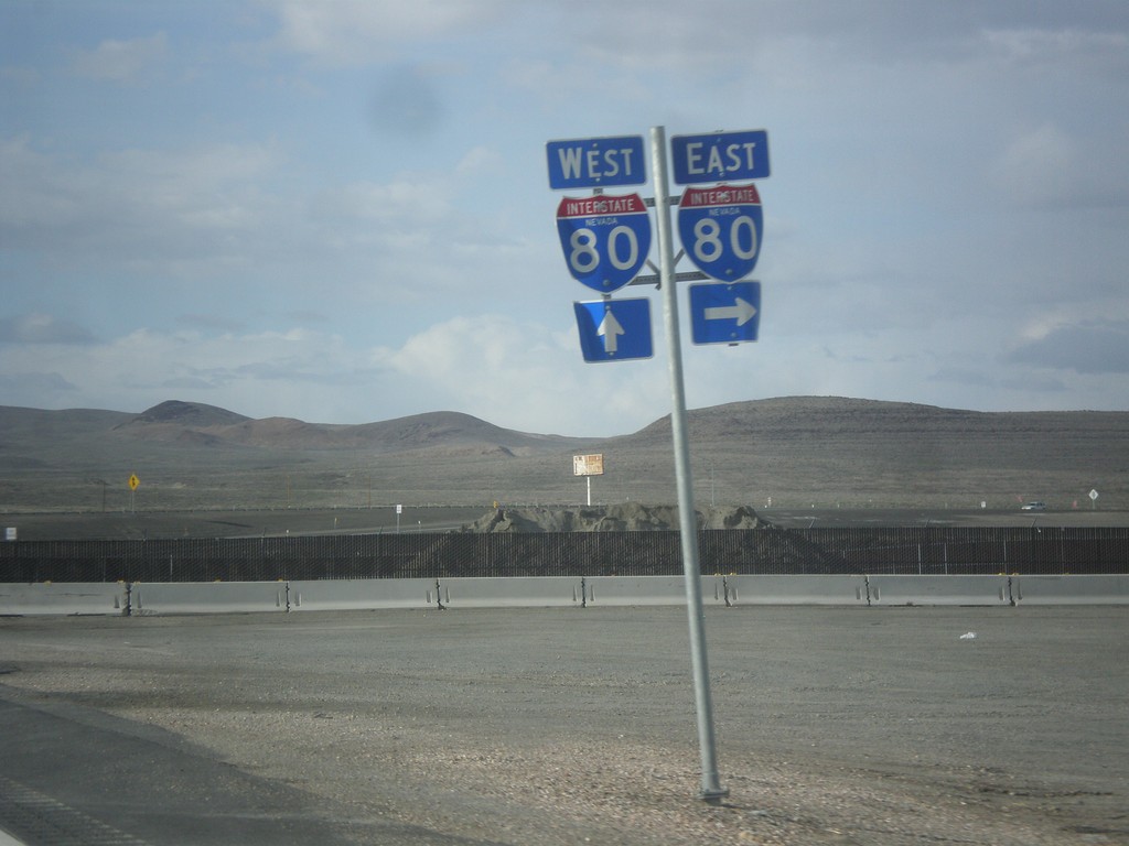
US-95 North Approaching I-80
US-95 north approaching I-80 in Churchill County.
Taken 05-05-2014


 Churchill County
Nevada
United States
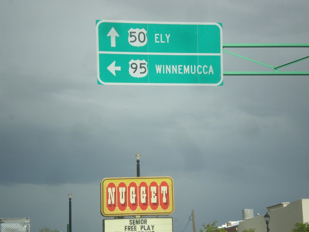
US-50 East/US-95 North - Fallon
US-50 East/US-95 North at US-95 north. Turn left for US-95 north to Winnemucca; continue straight for US-50 east to Ely.
Taken 05-05-2014

 Fallon
Churchill County
Nevada
United States
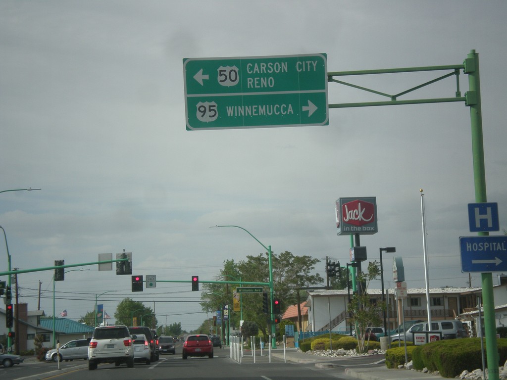
US-95 North at US-50
US-95 north at US-50 in Fallon. Turn left for US-50 west to Carson City and Reno. Turn right for US-50 East (not signed) and US-95 north to Winnemucca. US-95 joins US-50 for a few blocks through Fallon.
Taken 05-05-2014

 Fallon
Churchill County
Nevada
United States
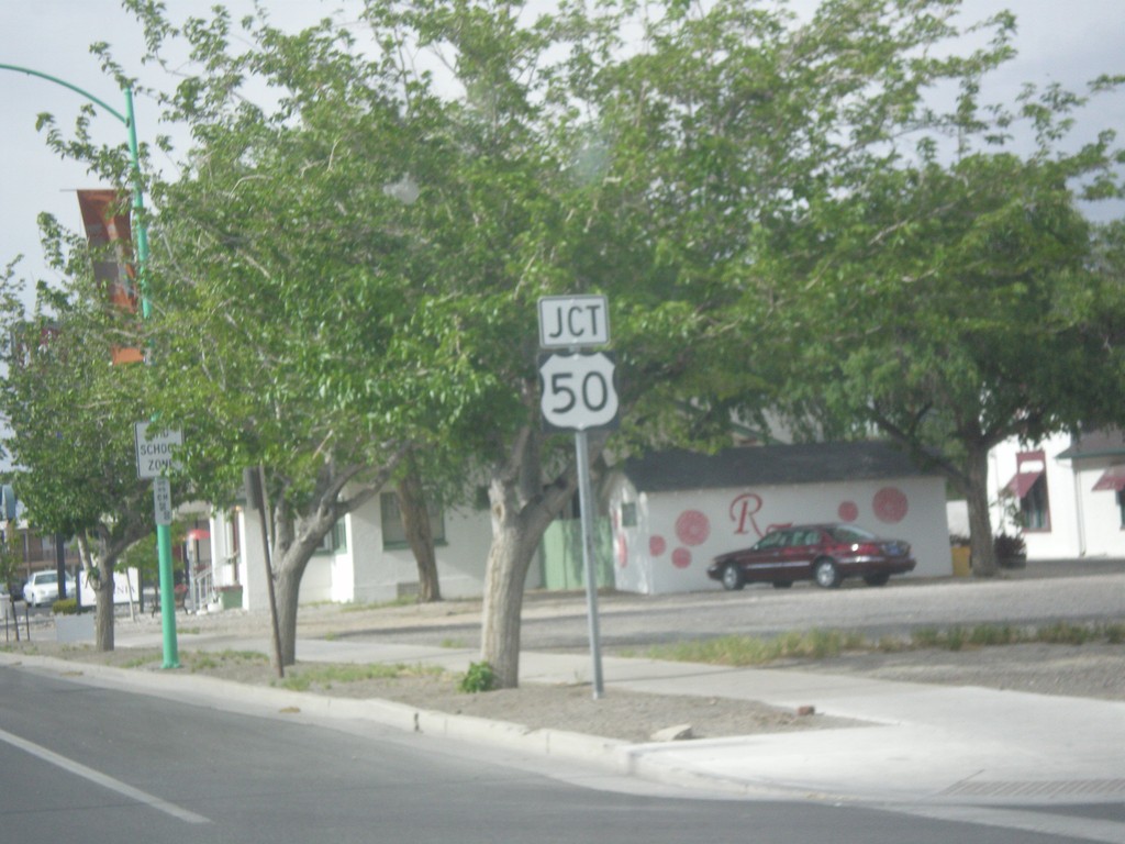
US-95 North Approaching US-50
US-95 North approaching US-50 in Fallon.
Taken 05-05-2014

 Fallon
Churchill County
Nevada
United States
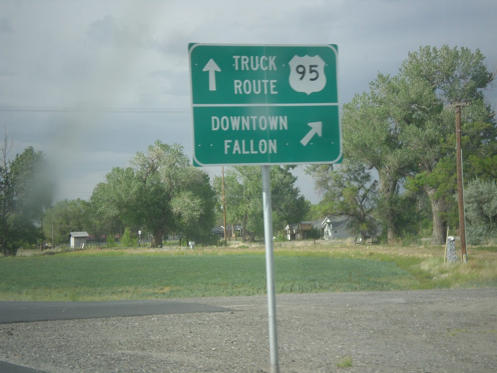
US-95 North - Fallon Truck Route
US-95 north at Maine St. junction. Turn right for Downtown Fallon; continue straight for US-95 North along the Truck Route.
Taken 05-05-2014
 Fallon
Churchill County
Nevada
United States
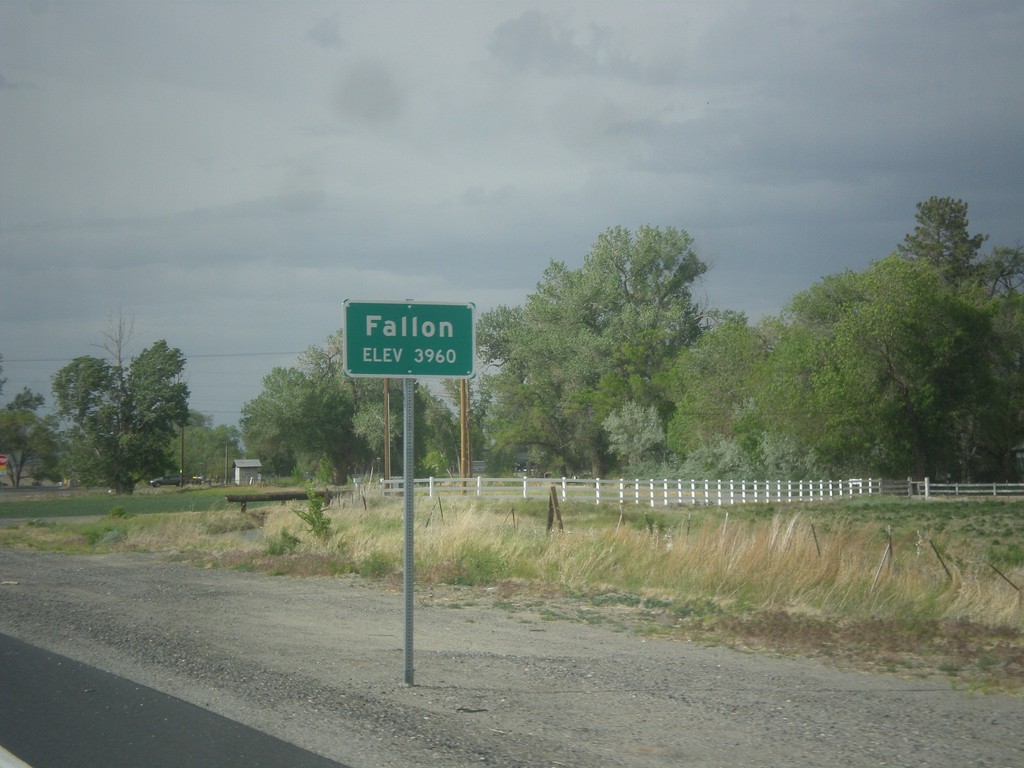
US-95 North - Fallon
Fallon - Elevation 3960 on US-95 north.
Taken 05-05-2014
 Fallon
Churchill County
Nevada
United States