Signs From Nevada
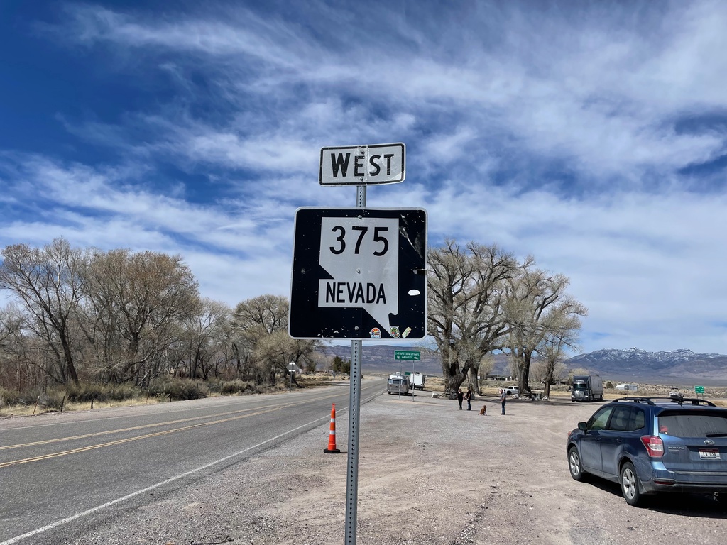
NV-375 West - Lincoln County
NV-375 west in Lincoln County.
Taken 04-01-2023
 Hiko
Lincoln County
Nevada
United States
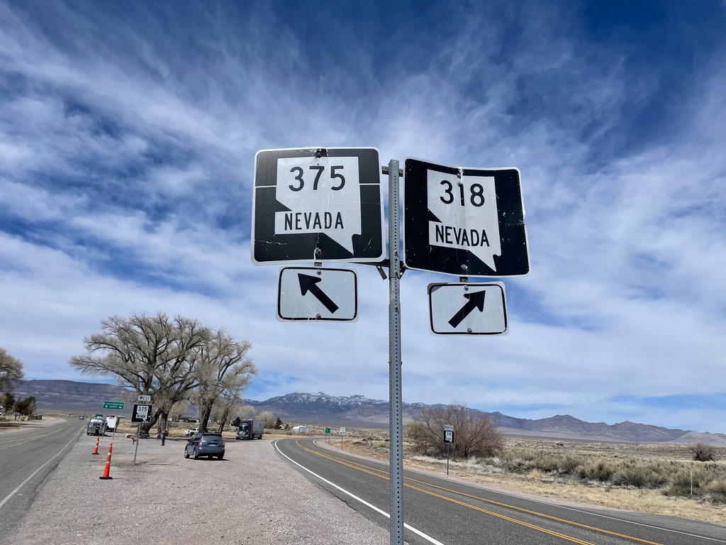
NV-318 North at NV-375
NV-318 North at NV-375 junction near Hiko.
Taken 04-01-2023

 Hiko
Lincoln County
Nevada
United States
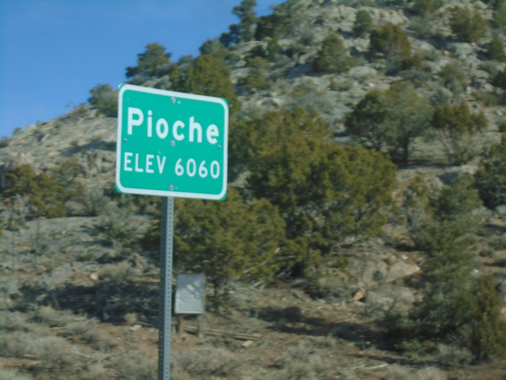
Bus. US-93/NV-321 - Pioche
Entering Pioche on Bus. US-93/NV-321 north. Pioche is the county seat of Lincoln County.
Taken 04-01-2023

 Pioche
Lincoln County
Nevada
United States
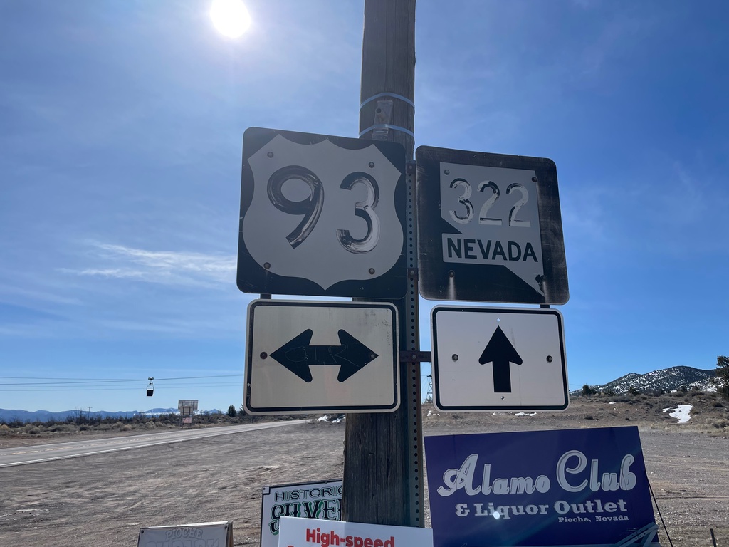
NV-322 West at US-93 - Pioche
NV-322 West at US-93 in Pioche. The lettering on the shields are faded and almost appear to be painted on with brush strokes.
Taken 04-01-2023

 Pioche
Lincoln County
Nevada
United States
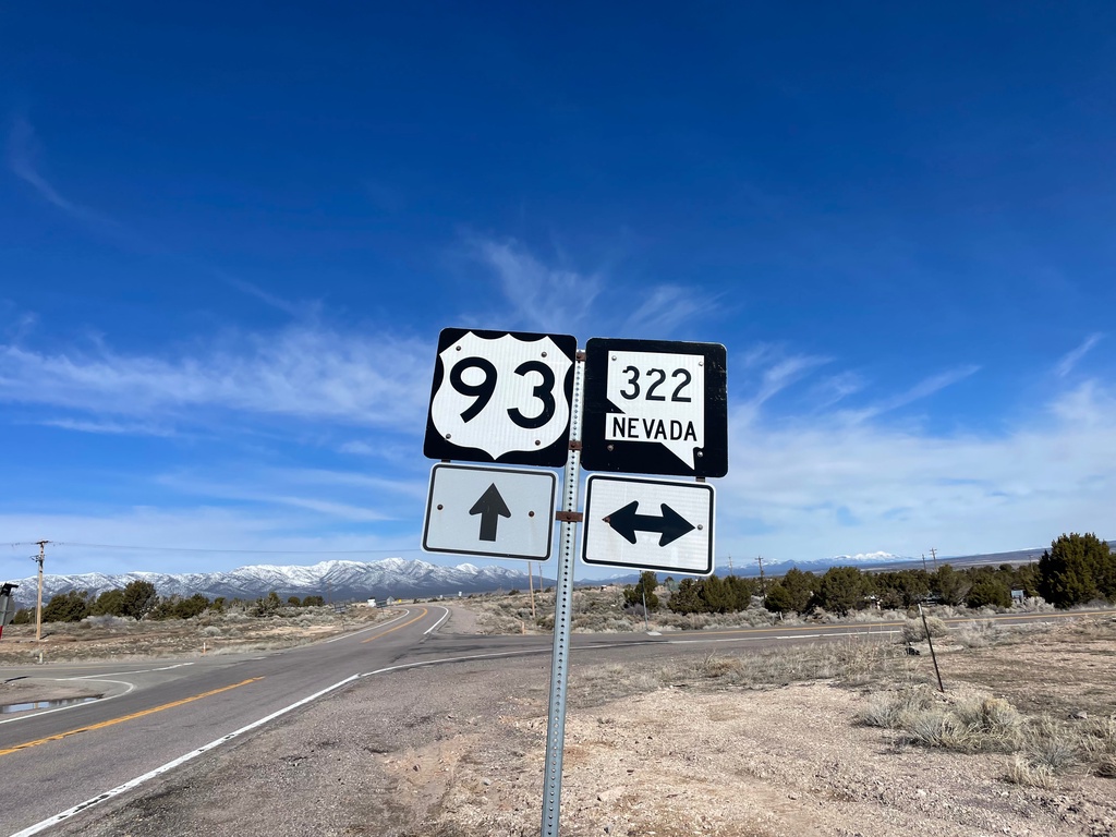
US-93 North at NV-322
US-93 North at NV-322 in Pioche.
Taken 04-01-2023

 Pioche
Lincoln County
Nevada
United States
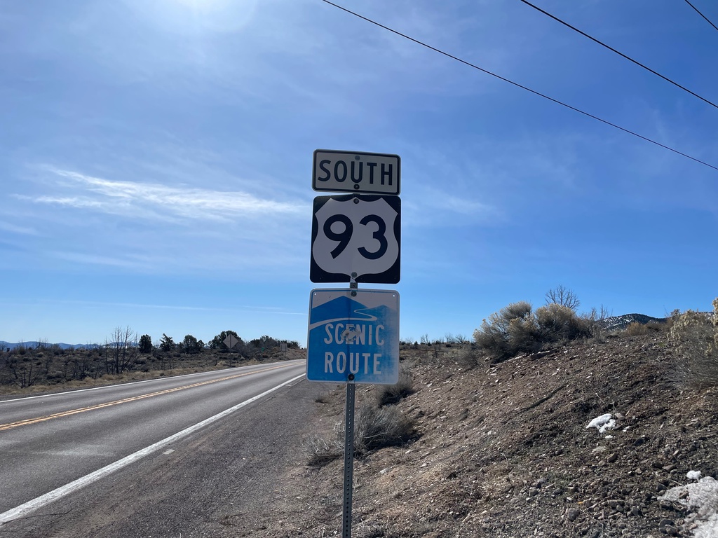
US-93 South - Pioche
US-93 south in Pioche. US-93 is designed as a scenic byway in this part of Nevada.
Taken 04-01-2023
 Pioche
Lincoln County
Nevada
United States
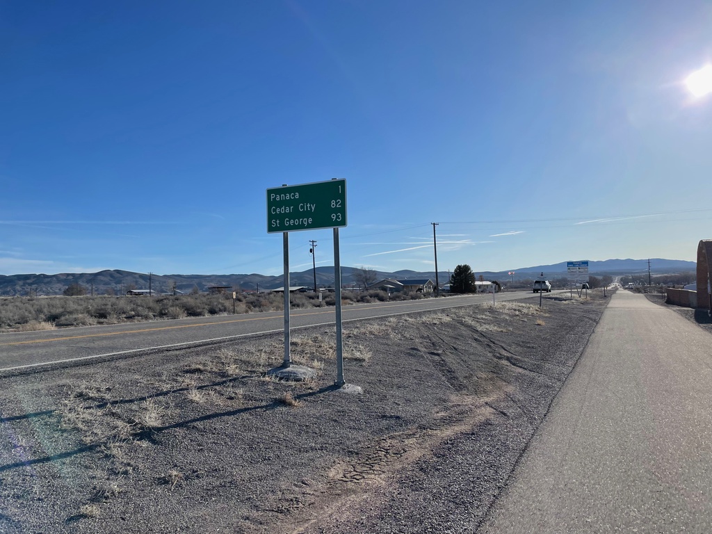
NV-319 East - Distance Marker
Distance marker on NV-319 east. Distance to Panaca, Cedar City (Utah) and St. George (Utah).
Taken 04-01-2023
 Panaca
Lincoln County
Nevada
United States
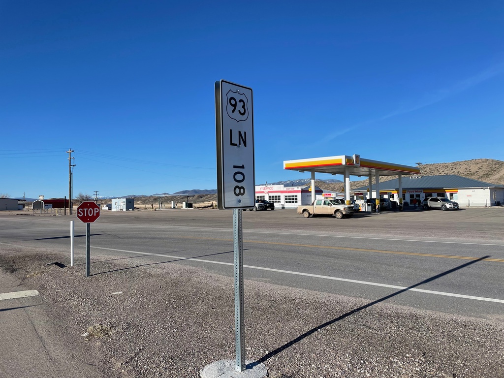
Milepost on US-93 - Panaca
Milepost 108 on US-93 in Lincoln (LN) County Nevada.
Taken 04-01-2023
 Panaca
Lincoln County
Nevada
United States
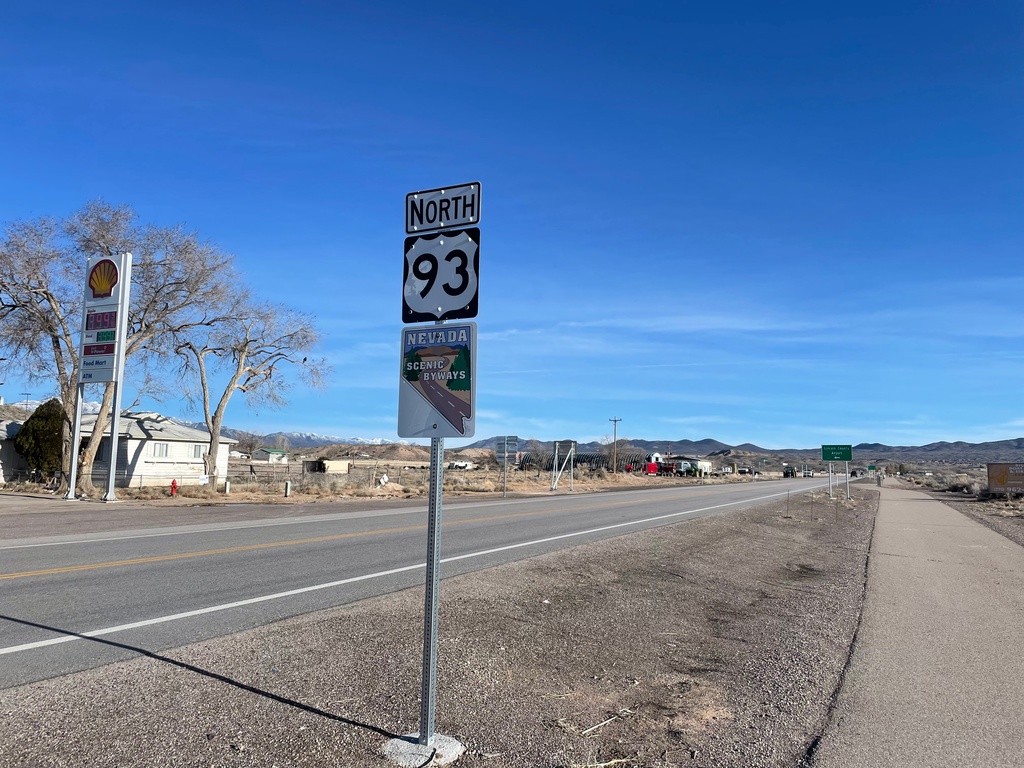
US-93 North - Panaca
US-93 north in Panaca. US-93 is designed a scenic byway.
Taken 04-01-2023
 Panaca
Lincoln County
Nevada
United States
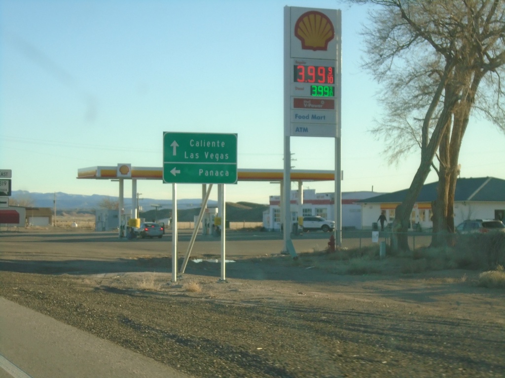
US-93 South at NV-319 East
US-93 South at NV-319 East to Panaca. Continue south on US-93 to Caliente and Las Vegas.
Taken 03-31-2023

 Panaca
Lincoln County
Nevada
United States