Signs From Nevada
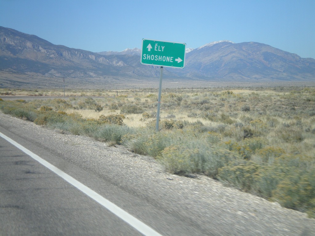
US-93 North at NV-894
US-93 north at NV-894 east to Shoshone.
Taken 10-14-2011

 Ely
White Pine County
Nevada
United States
Ely
White Pine County
Nevada
United States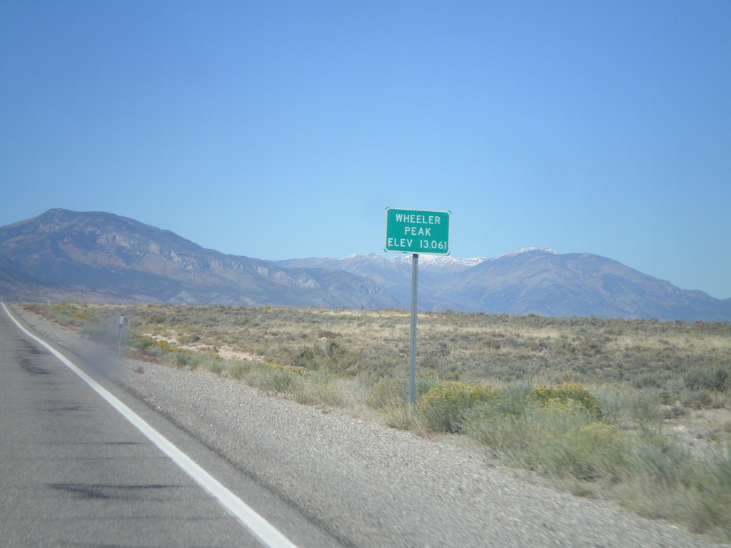
US-93 North - Wheeler Peak
US-93 North at Wheeler Peak sign - Elevation 13,061. Wheeler Peak is the snow covered mountain behind the sign. Wheeler Peak is within Great Basin National Park, and is the second highest mountain in Nevada.
Taken 10-14-2011
Ely
White Pine County
Nevada
United States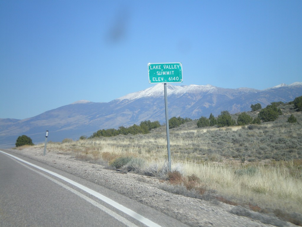
US-93 North - Lake Valley Summit
Lake Valley Summit - Elevation 6,140 Feet on US-93 north. Wheeler Peak is the snow covered mountain in the background.
Taken 10-14-2011
Ely
White Pine County
Nevada
United States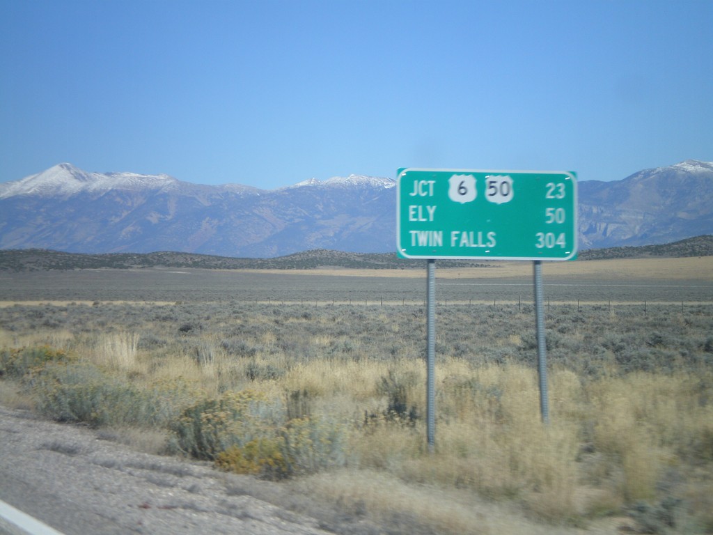
US-93 North - Distance Marker
Distance marker on US-93 north. Distance to US-6/US-50 Jct., Ely, and Twin Falls (Idaho).
Taken 10-14-2011
Pioche
White Pine County
Nevada
United States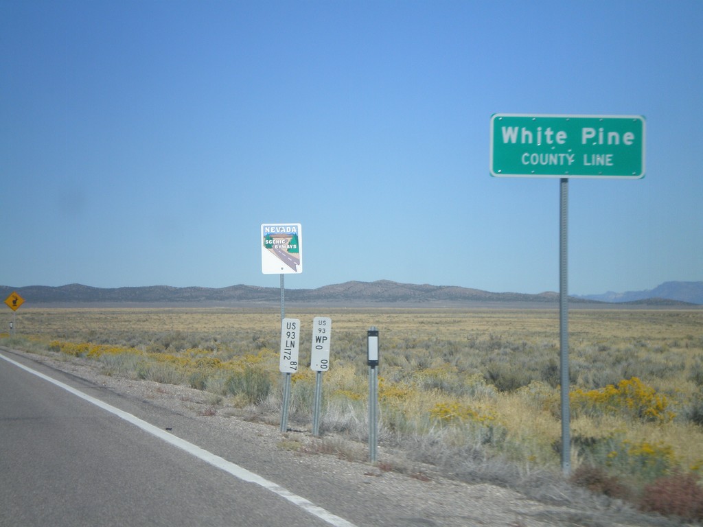
US-93 North - White Pine County Line
White Pine County Line on US-93 north. The sign behind the county line designates this stretch of US-93 as a Nevada Scenic Byway.
Taken 10-14-2011
Pioche
White Pine County
Nevada
United States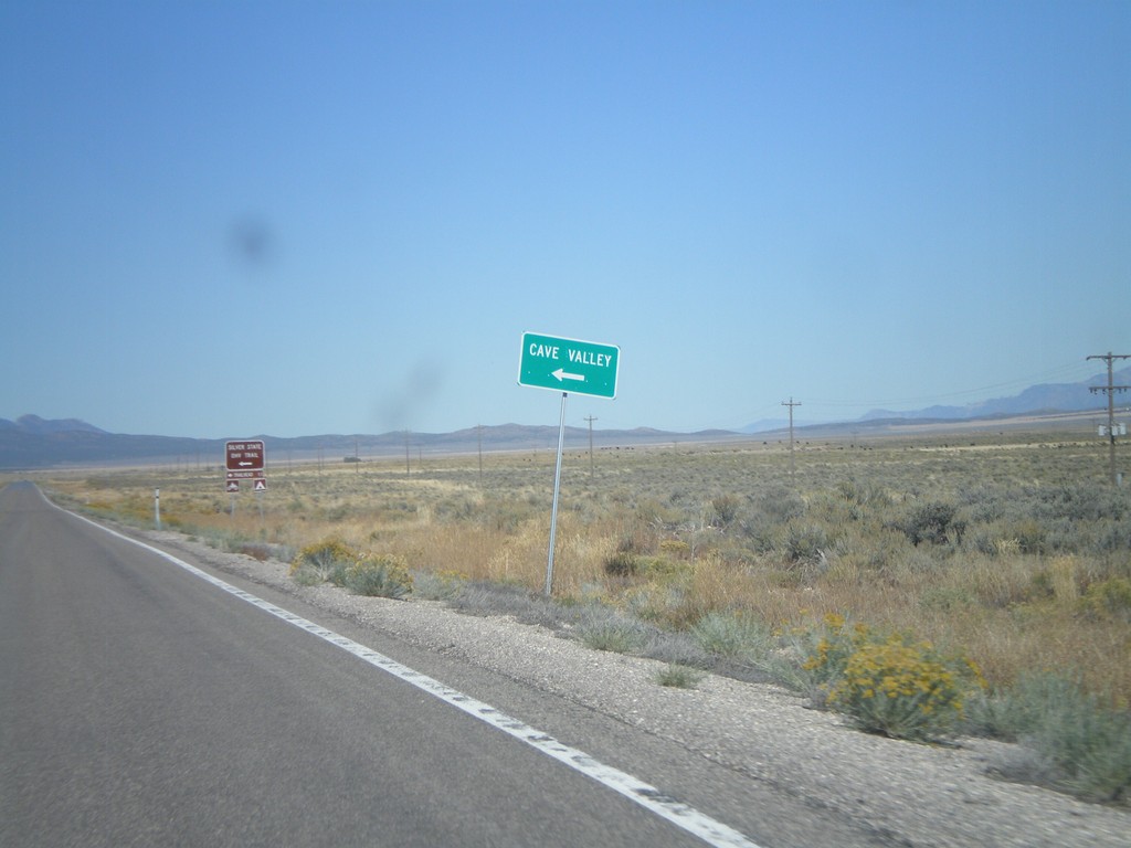
US-93 North - Cave Valley Jct.
US-93 north at Cave Valley Junction (Patterson Pass Road). Turn left for Cave Valley and the Silver State OHV Trailhead.
Taken 10-14-2011
Pioche
Lincoln County
Nevada
United States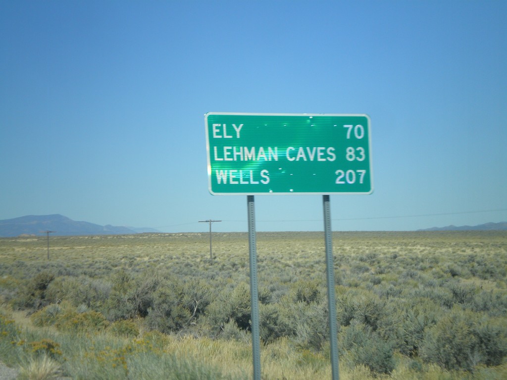
US-93 North - Distance Marker
Distance marker on US-93 north to Ely, Lehman Caves (Great Basin National Park), and Wells. Taken just north of Pony Springs.
Taken 10-14-2011
Pioche
Lincoln County
Nevada
United States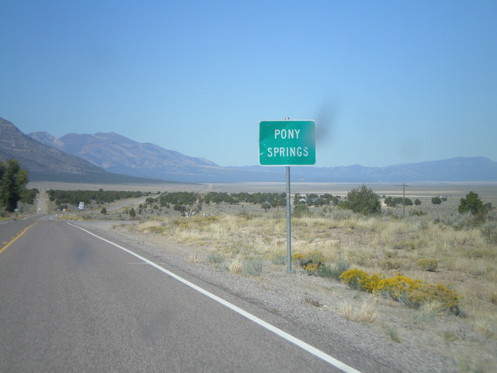
US-93 North - Pony Springs
Entering the community of Pony Springs on US-93 North. Pony Springs consists of a few buildings and a state rest area.
Taken 10-14-2011
Pioche
Lincoln County
Nevada
United States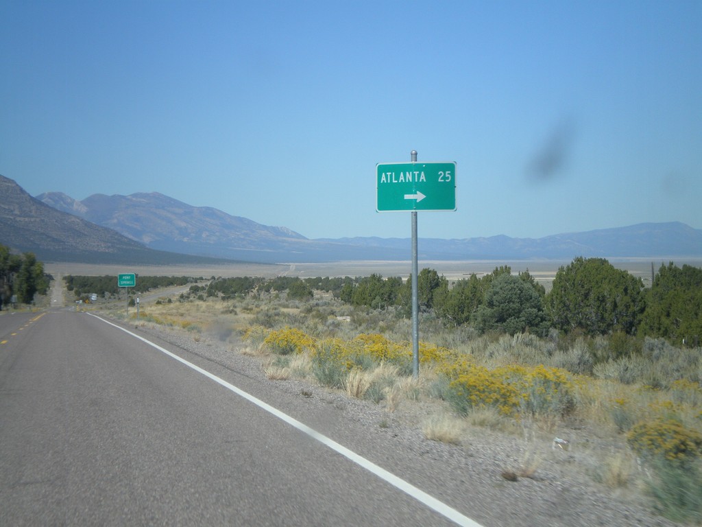
US-93 North at Atlanta Jct.
US-93 North at Atlanta Jct.
Taken 10-14-2011
Pioche
Lincoln County
Nevada
United States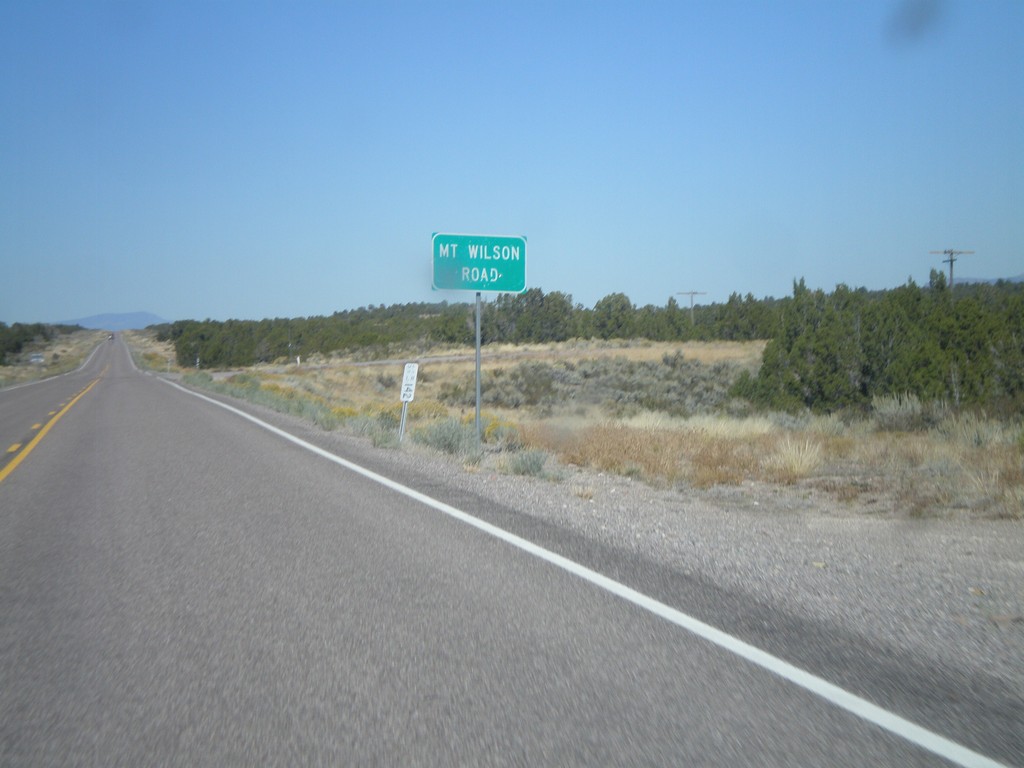
US-93 North - Mt. Wilson Road
US-93 north at Mt. Wilson Road.
Taken 10-14-2011
Pioche
Lincoln County
Nevada
United States