Signs From Nevada
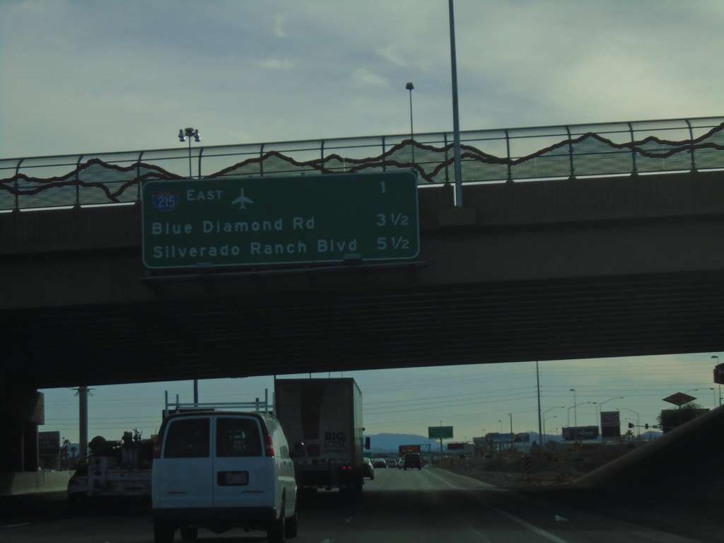
I-15 South - Next 3 Exits
Next 3 exits on I-15 south in Las Vegas area. I-215 East, Blue Diamond Road, Silverado Ranch Road
Taken 11-26-2019
 Las Vegas
Clark County
Nevada
United States
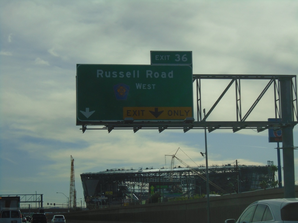
I-15 South - Exit 36
I-15 south approaching Exit 36 - CR-215 West/Russell Road.
Taken 11-26-2019

 Las Vegas
Clark County
Nevada
United States
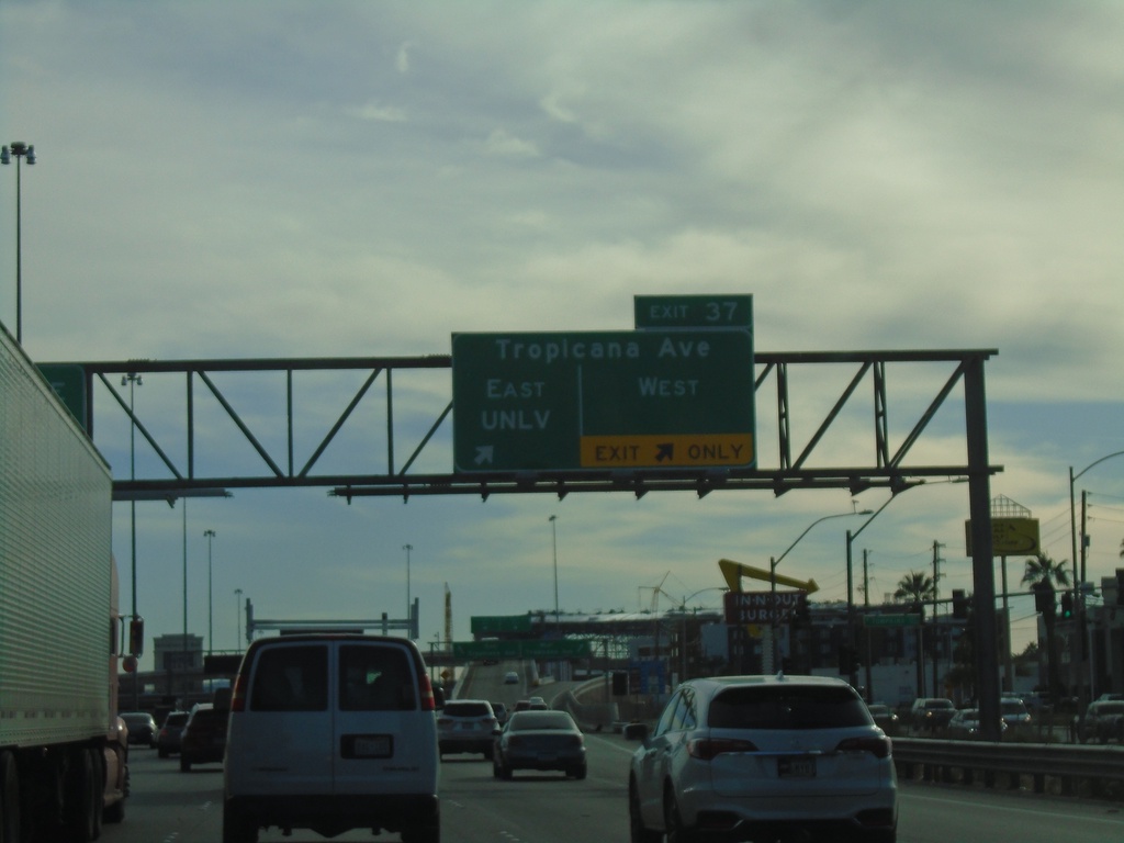
I-15 South - Exit 37
I-15 south at Exit 37 - Tropicana Ave East/UNLV and Tropicana Ave. West
Taken 11-26-2019

 Las Vegas
Clark County
Nevada
United States
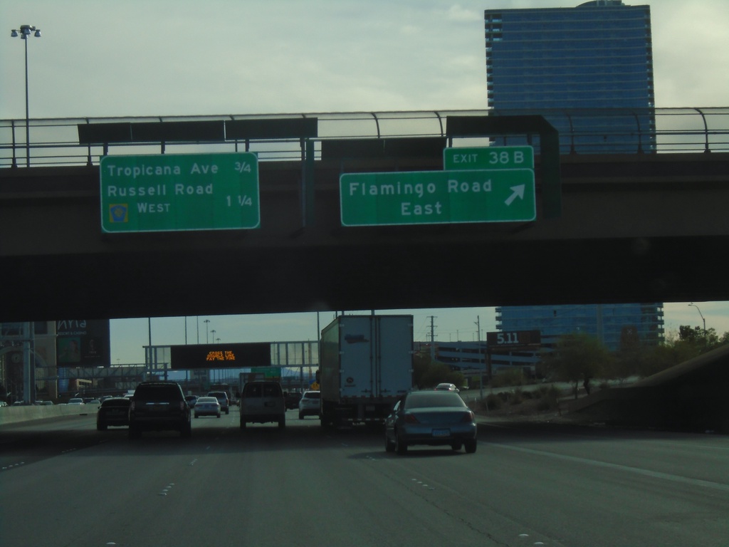
I-15 South - Exit 38B
I-15 south at Exit 38B - Flamingo Road East. Approaching Tropicana Ave., and Russell Road/CR-215 West.
Taken 11-26-2019

 Las Vegas
Clark County
Nevada
United States
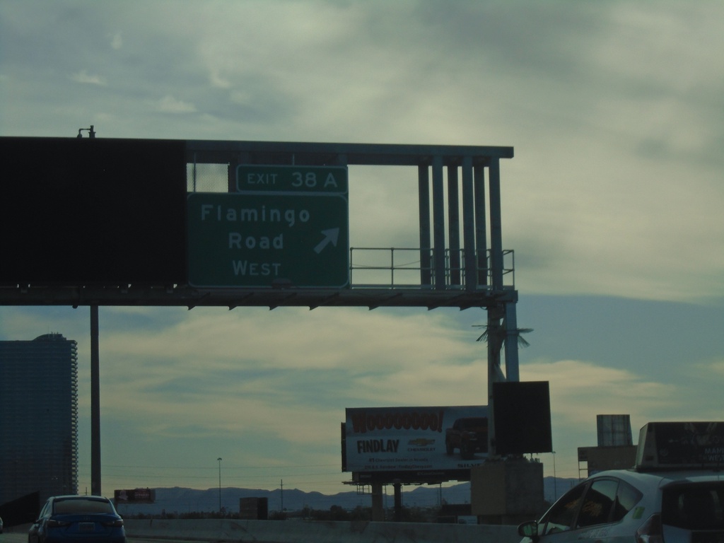
I-15 South - Exit 38A
I-15 south at Exit 38A - Flamingo Road West
Taken 11-26-2019

 Las Vegas
Clark County
Nevada
United States
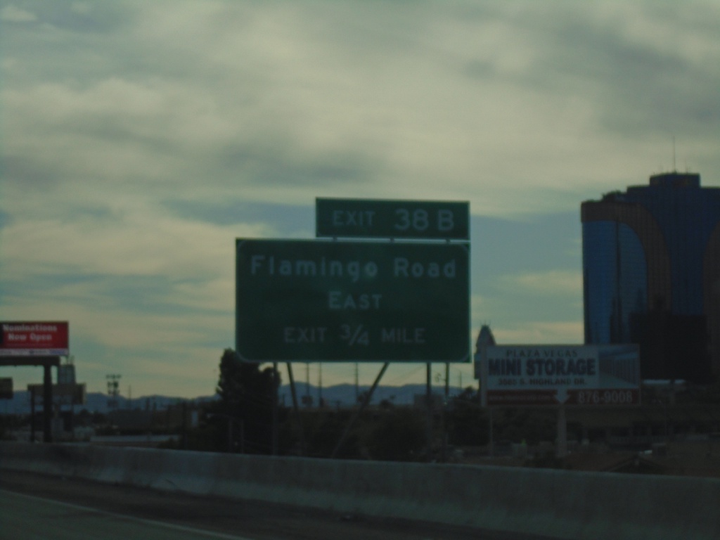
I-15 South - Exit 38B
I-15 south approaching Exit 38B - Flamingo Road East
Taken 11-26-2019

 Las Vegas
Clark County
Nevada
United States
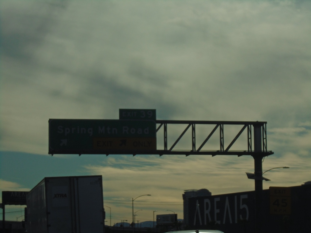
I-15 South - Exit 39
I-15 south at Exit 39 - Spring Mountain Road
Taken 11-26-2019
 Las Vegas
Clark County
Nevada
United States
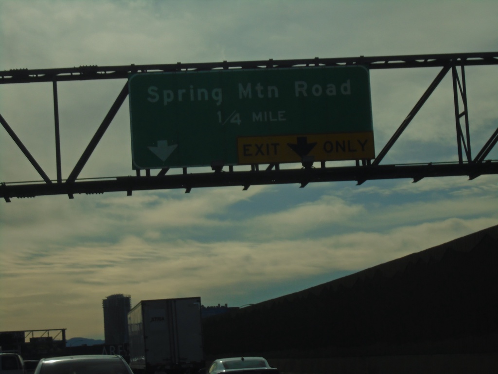
I-15 South - Exit 39
I-15 south approaching Exit 39 - Spring Mountain Road
Taken 11-26-2019
 Las Vegas
Clark County
Nevada
United States
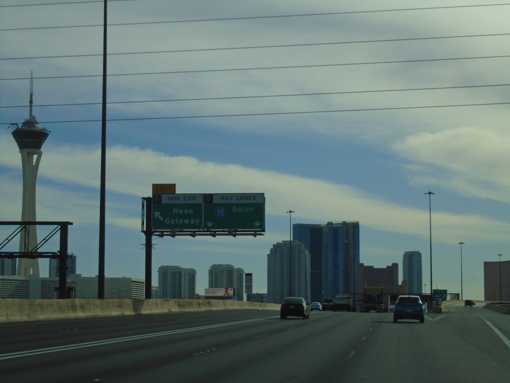
I-15 South - Neon Gateway
I-15 south at Neon Gateway HOV interchange.
Taken 11-26-2019
 Las Vegas
Clark County
Nevada
United States
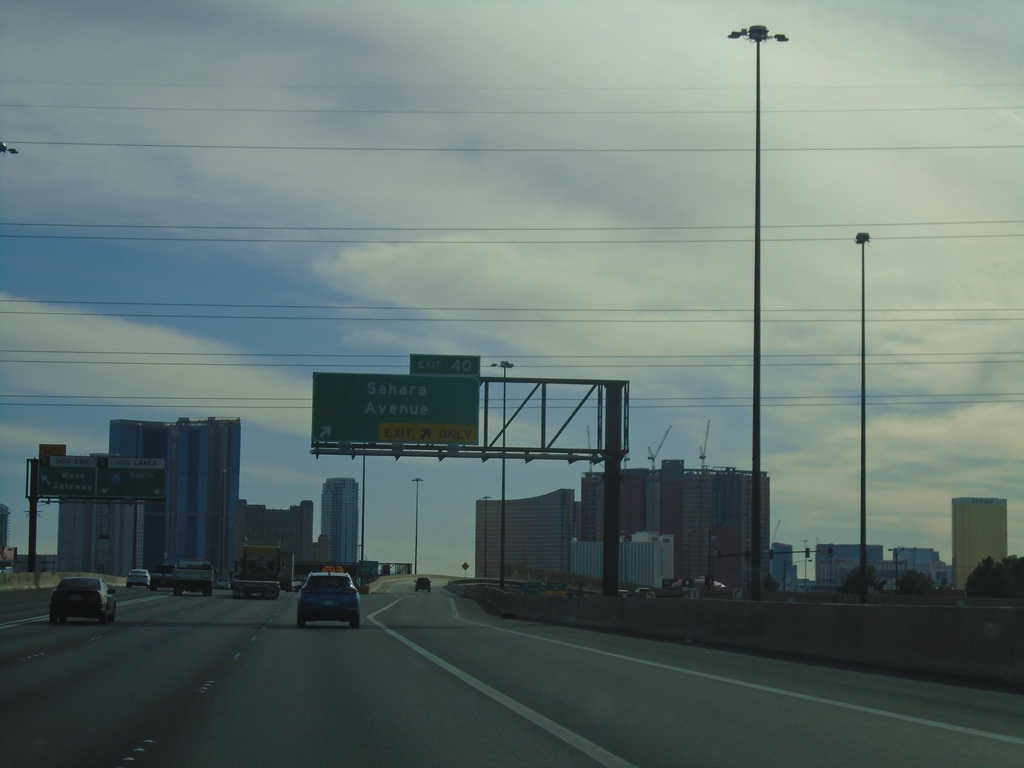
I-15 South - Exit 40
I-15 south at Exit 40 - Sahara Ave.
Taken 11-26-2019
 Las Vegas
Clark County
Nevada
United States