Signs From Nevada
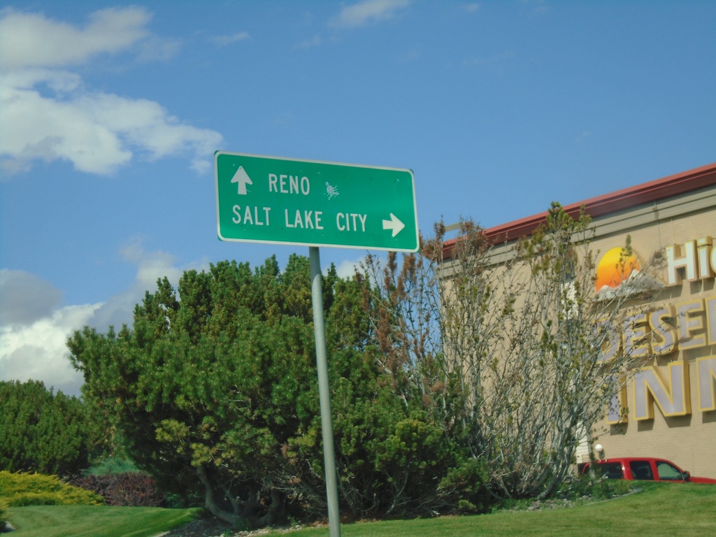
BL-80 East at I-80 (Exit 303)
BL-80 East at I-80 (Exit 303) in Elko. Turn right for I-80 east to Salt Lake City (UT); continue under freeway for I-80 west to Reno.
Taken 09-28-2019

 Elko
Elko County
Nevada
United States
Elko
Elko County
Nevada
United States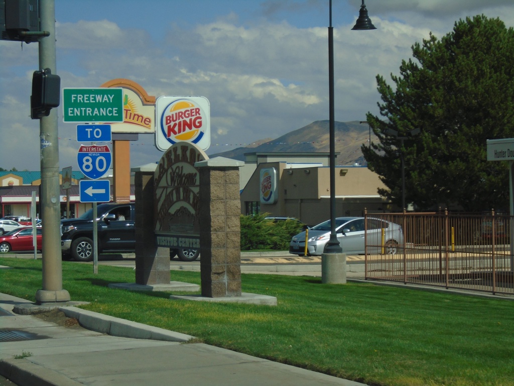
BL-80 East (Idaho St.) at Jennings Way to I-80
BL-80 East (Idaho St.) at Jennings Way to I-80. Turn left for Jennings Way and I-80 onramps.
Taken 09-28-2019

 Elko
Elko County
Nevada
United States
Elko
Elko County
Nevada
United States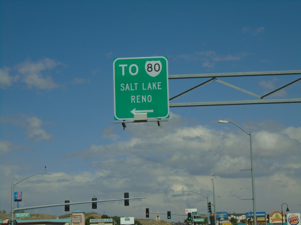
BL-80 East (Idaho St.) Approaching I-80
BL-80 East (Idaho St.) approaching I-80 to Salt Lake (UT) and Reno.
Taken 09-28-2019

 Elko
Elko County
Nevada
United States
Elko
Elko County
Nevada
United States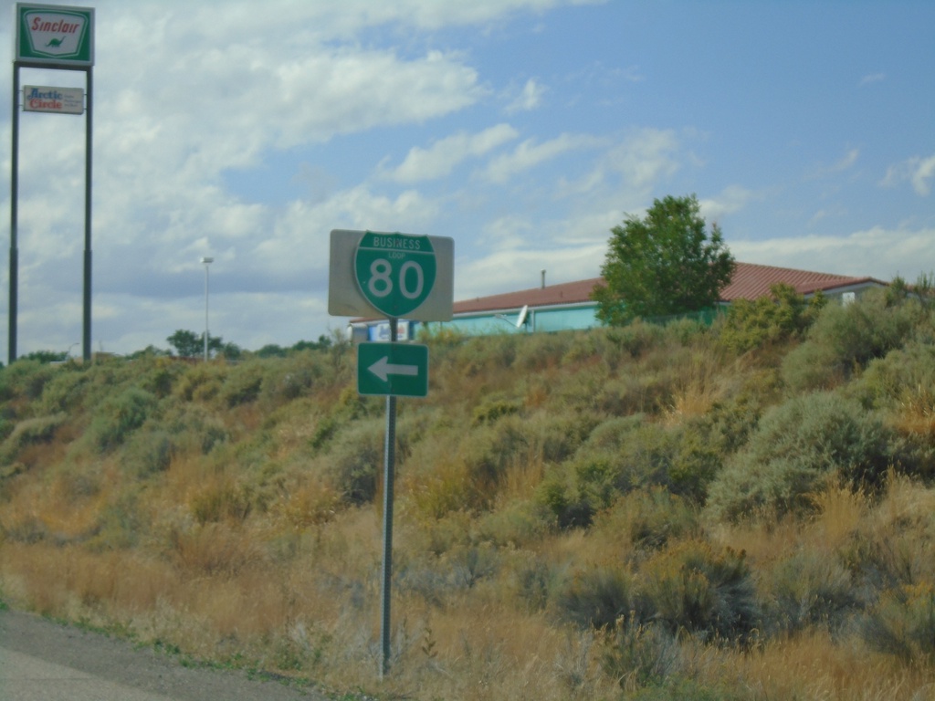
I-80 West Exit 303 Offramp
I-80 West Exit 303 Offramp at BL-80. Turn left for BL-80 (Jennings Way).
Taken 09-28-2019

 Elko
Elko County
Nevada
United States
Elko
Elko County
Nevada
United States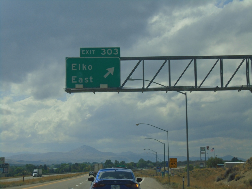
I-80 West - Exit 303
I-80 west at Exit 303 - Elko East.
Taken 09-28-2019

 Elko
Elko County
Nevada
United States
Elko
Elko County
Nevada
United States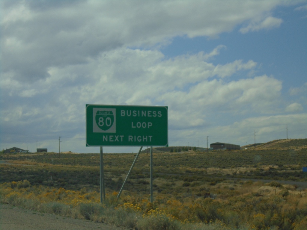
I-80 West - Business Loop
I-80 west approaching Exit 303. Use Exit 303 for BL-80 Business Loop.
Taken 09-28-2019

 Elko
Elko County
Nevada
United States
Elko
Elko County
Nevada
United States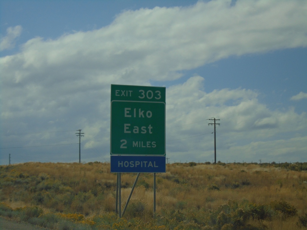
I-80 West - Exit 303
I-80 west approaching Exit 303 - Elko East.
Taken 09-28-2019

 Elko
Elko County
Nevada
United States
Elko
Elko County
Nevada
United States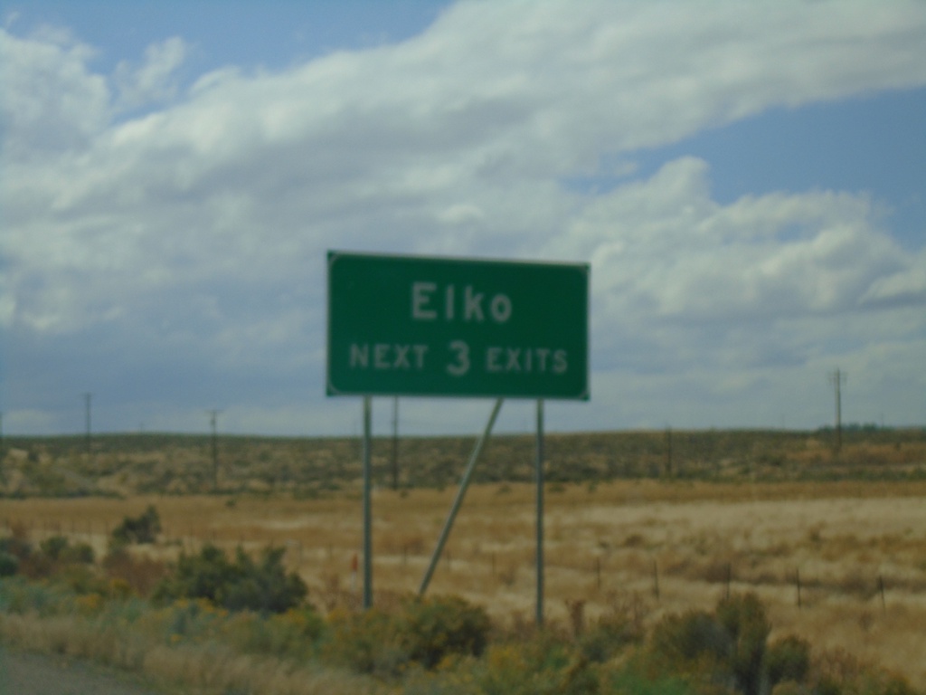
I-80 West - Elko Exits
Elko - Next 3 Exits on I-80 west.
Taken 09-28-2019
 Elko
Elko County
Nevada
United States
Elko
Elko County
Nevada
United States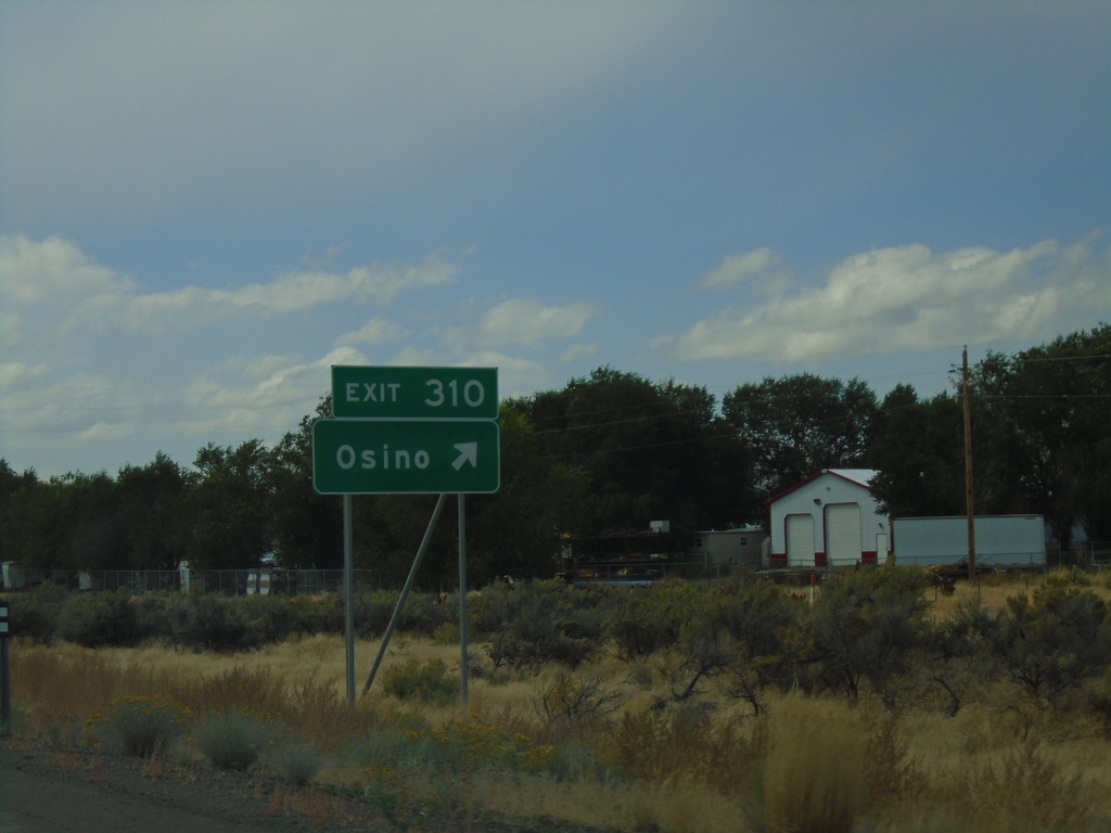
I-80 West - Exit 310
I-80 west at Exit 310 - Osino.
Taken 09-28-2019
 Elko
Elko County
Nevada
United States
Elko
Elko County
Nevada
United States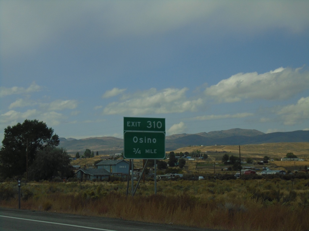
I-80 West - Exit 310
I-80 west approaching Exit 310 - Osino.
Taken 09-28-2019
 Elko
Elko County
Nevada
United States
Elko
Elko County
Nevada
United States