Signs From Nevada
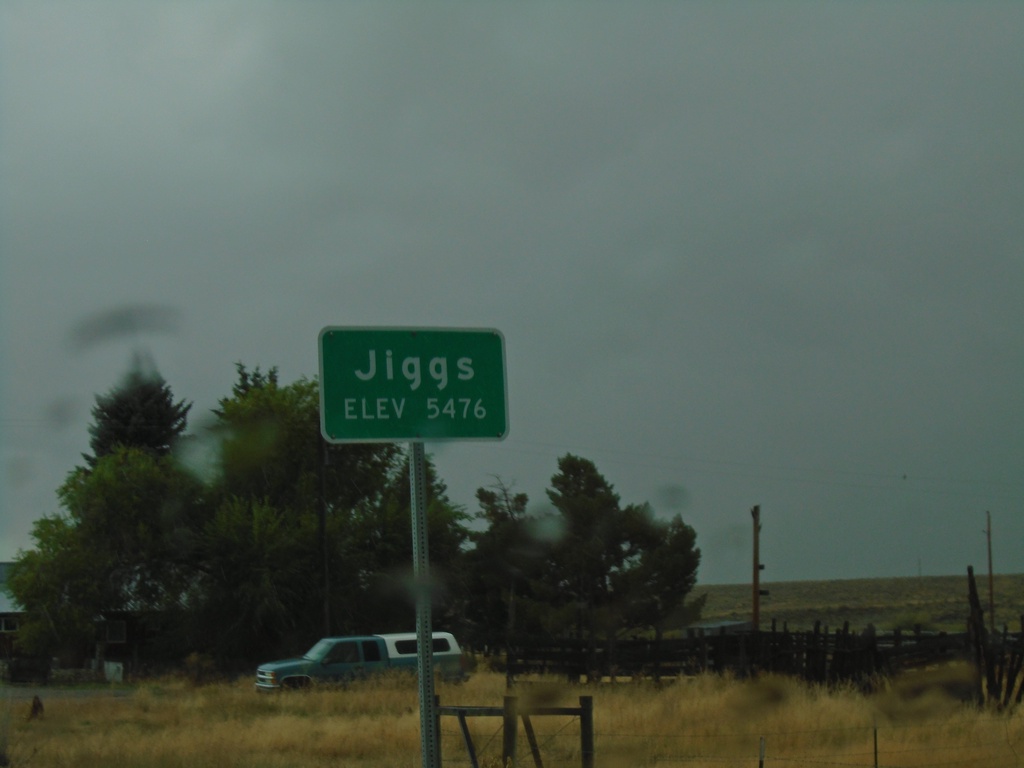
NV-228 South - Jiggs
Entering Jiggs on NV-228 south. Elevation 5476 Feet.
Taken 09-28-2019
 Spring Creek
Elko County
Nevada
United States
Spring Creek
Elko County
Nevada
United States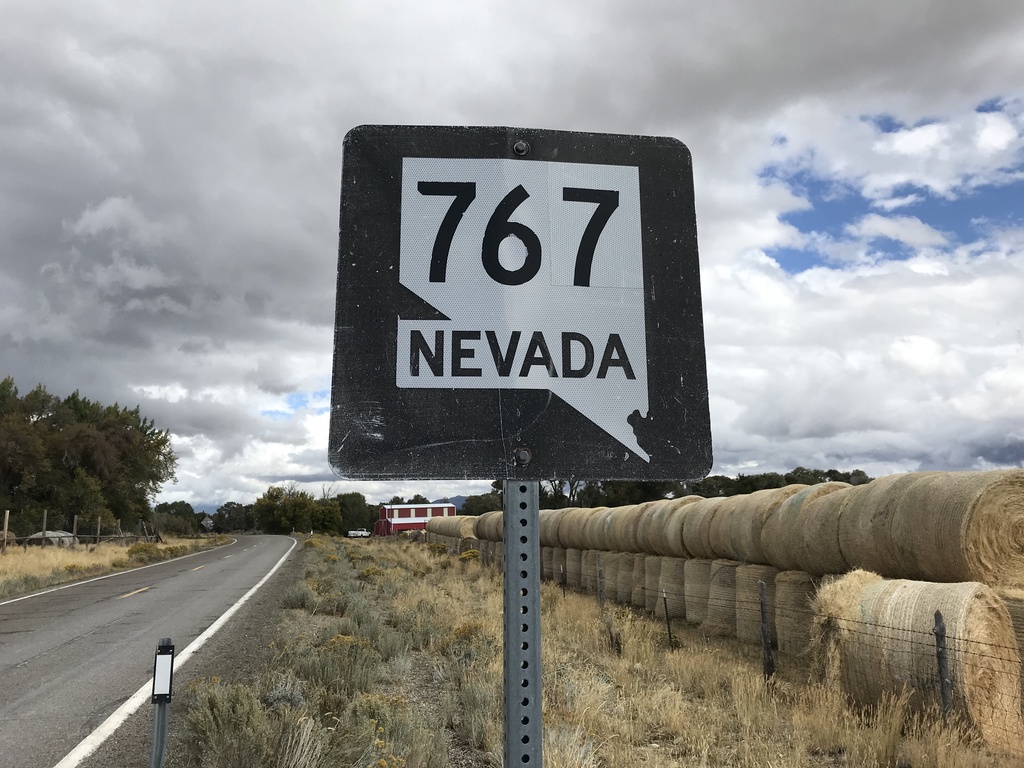
Begin NV-767 North
Begin NV-767 North in the Ruby Valley.
Taken 09-28-2019
 Ruby Valley
Elko County
Nevada
United States
Ruby Valley
Elko County
Nevada
United States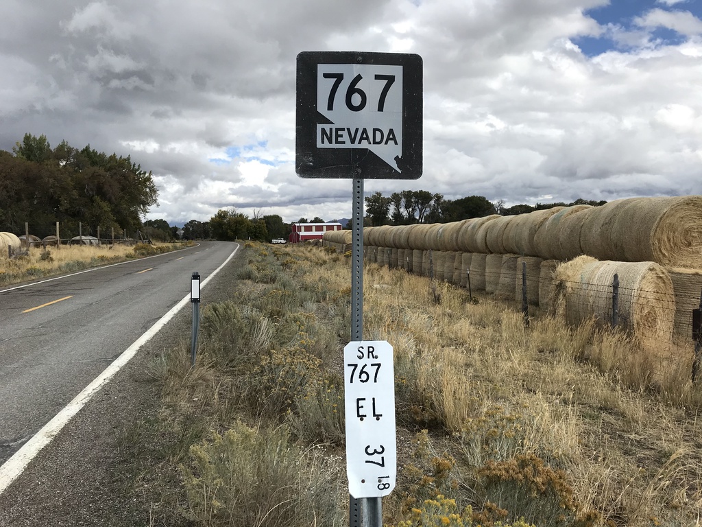
Begin NV-767 North
Begin NV-767 North in the Ruby Valley. Milepost 37.18 Elko County.
Taken 09-28-2019
Ruby Valley
Elko County
Nevada
United States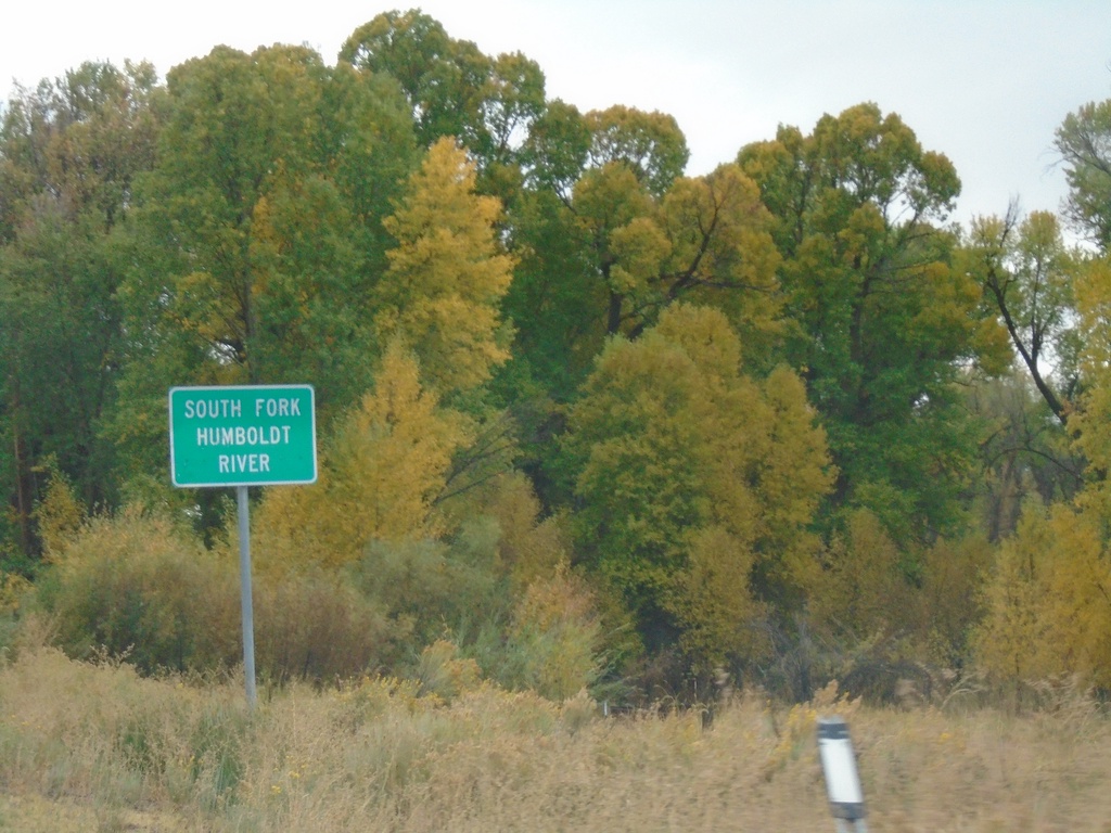
NV-228 South - South Fork Humboldt River
South Fork of the Humboldt River on NV-228 South.
Taken 09-28-2019
South Fork
Elko County
Nevada
United States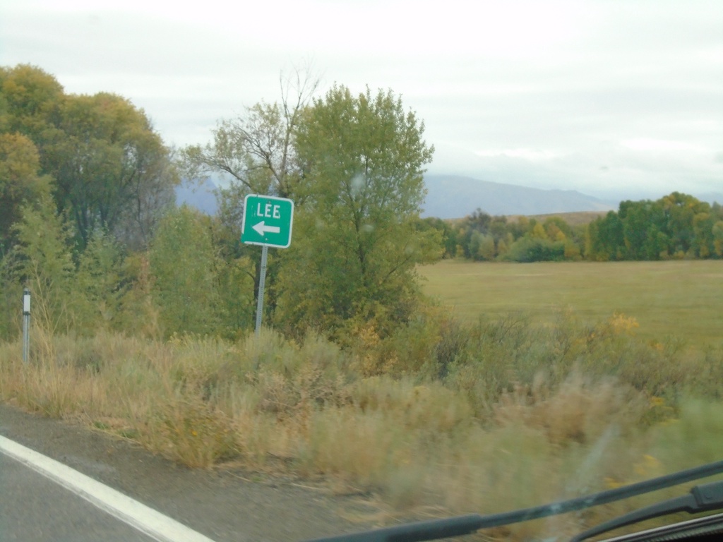
NV-228 South - Lee Jct.
NV-228 South at Lee Jct.
Taken 09-28-2019
Spring Creek
Elko County
Nevada
United States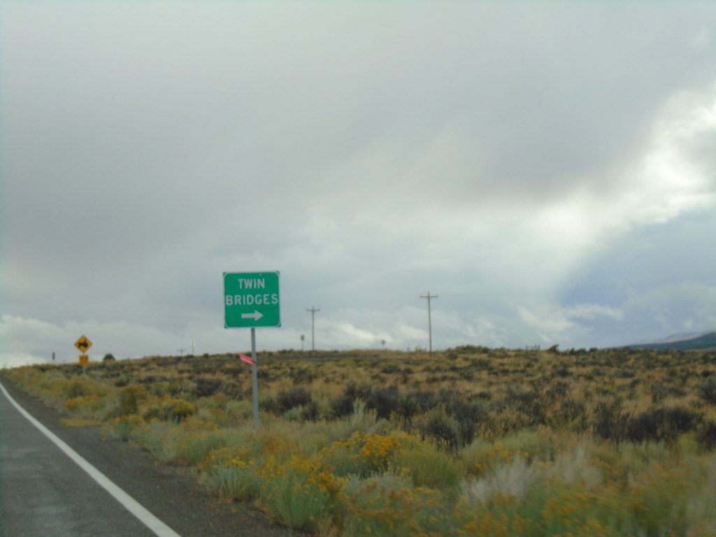
NV-228 South at Twin Bridges Jct.
NV-228 South at Twin Bridges junction
Taken 09-28-2019
Spring Creek
Elko County
Nevada
United States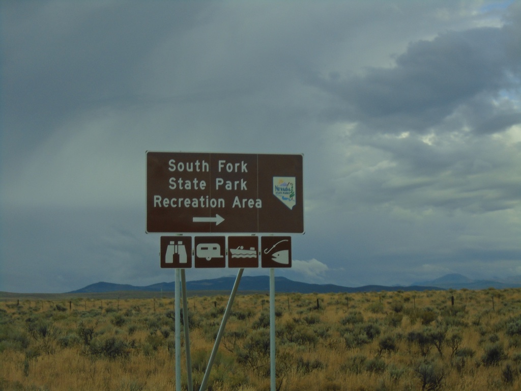
NV-228 South at South Fork State Park Recreation Area
NV-228 South at South Fork State Park Recreation Area.
Taken 09-28-2019
Spring Creek
Elko County
Nevada
United States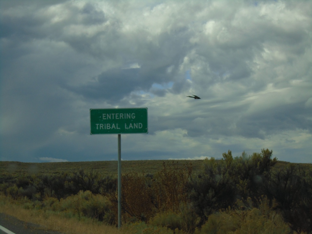
NV-228 South - South Fork Indian Reservation
NV-228 - Entering Tribal Land - South Fork Indian Reservation
Taken 09-28-2019
Spring Creek
Elko County
Nevada
United States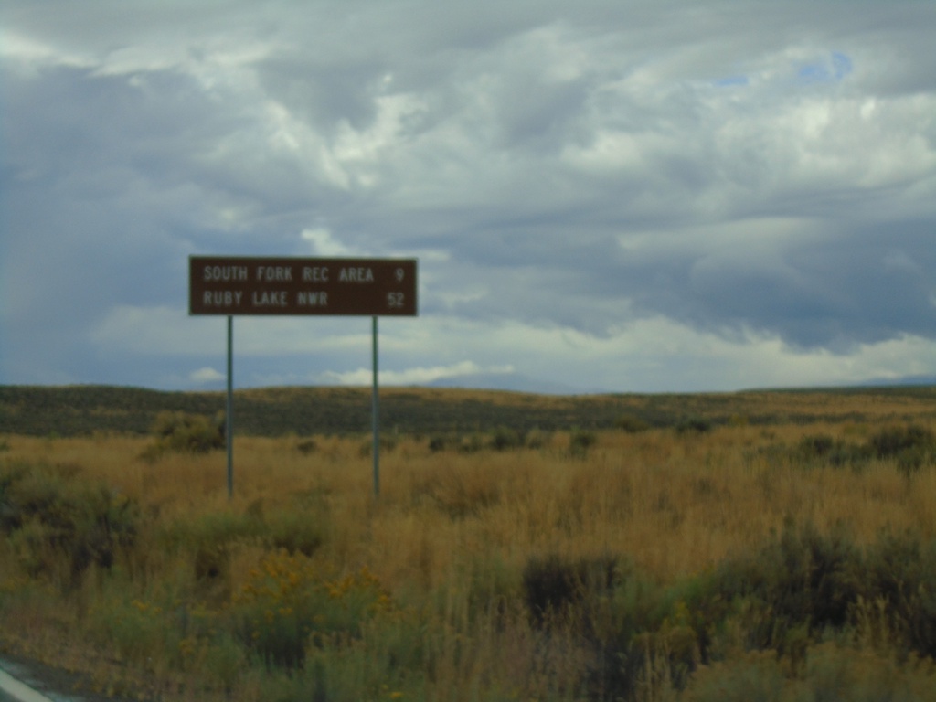
NV-228 South - Distance Marker
Distance marker on NV-228 south. Distance to South Fork Recreation Area and Ruby Lake NWR.
Taken 09-28-2019
Spring Creek
Elko County
Nevada
United States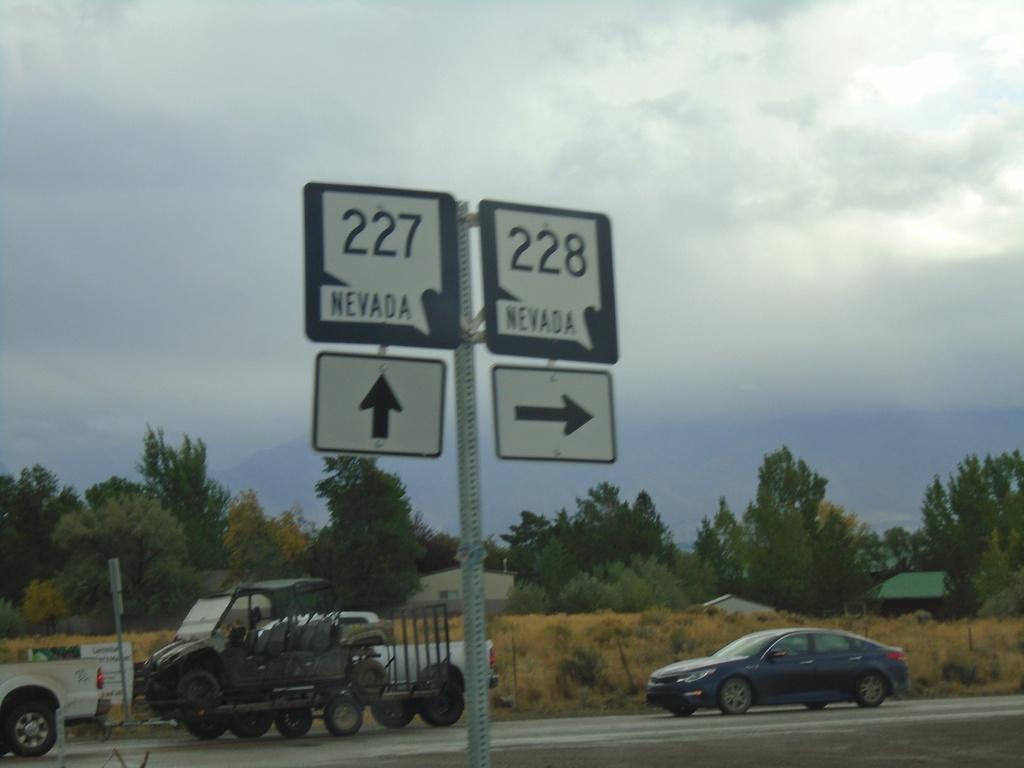
NV-227 East at NV-228
NV-227 east at NV-228 south in Spring Creek.
Taken 09-28-2019
 Spring Creek
Elko County
Nevada
United States
Spring Creek
Elko County
Nevada
United States