Signs From Nevada
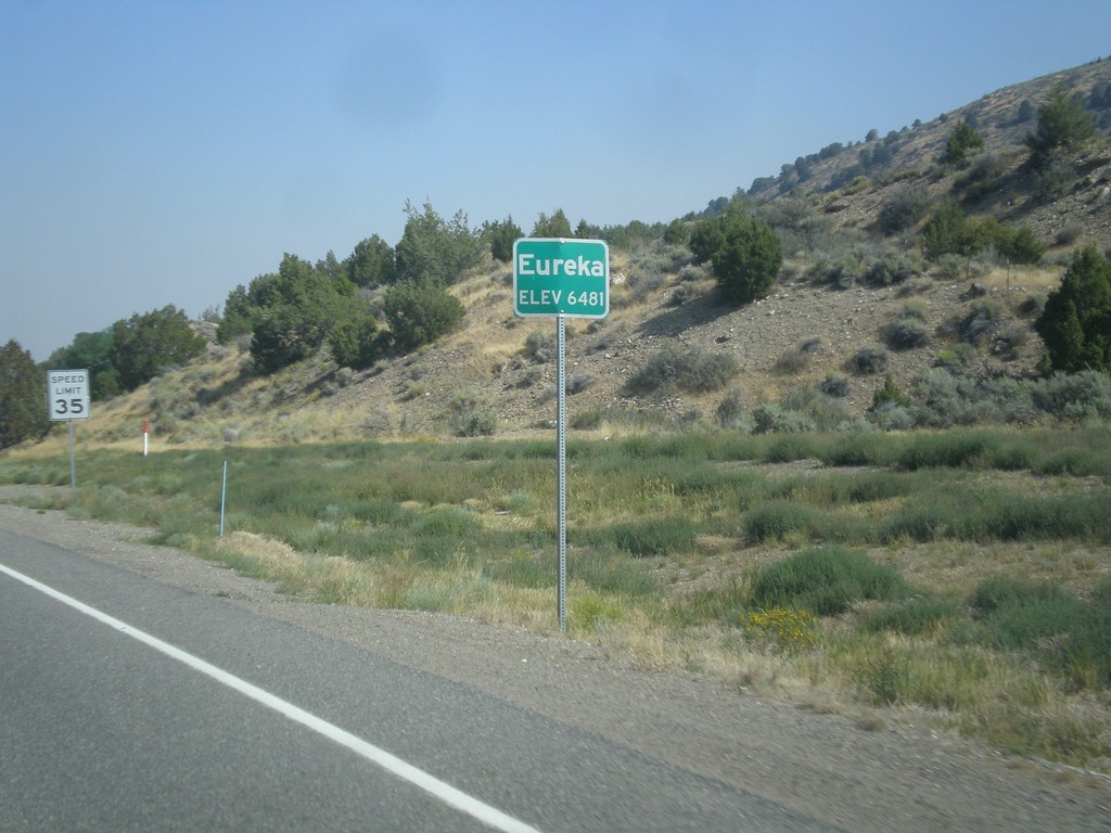
US-50 West - Eureka
Entering Eureka on US-50 west. Eureka is the county seat of Eureka County, Nevada.
Taken 08-31-2014
 Eureka
 County
Nevada
United States
Eureka
Eureka County
Nevada
United States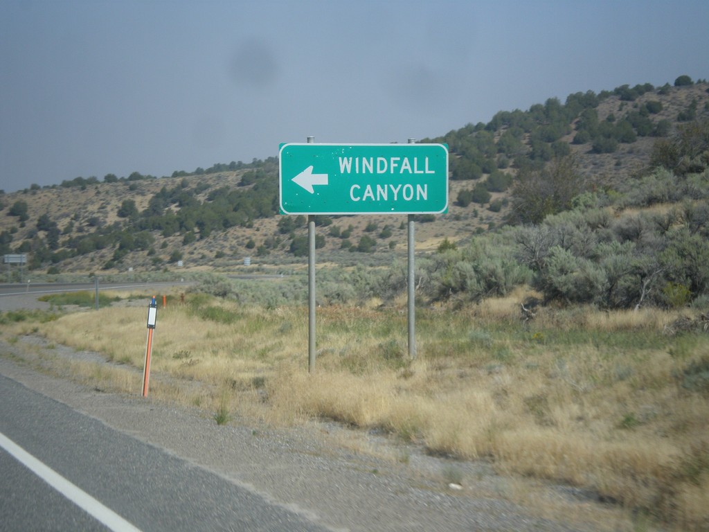
US-50 West - Windfall Canyon Jct.
US-50 west at junction to Windfall Canyon.
Taken 08-31-2014
Eureka
Eureka County
Nevada
United States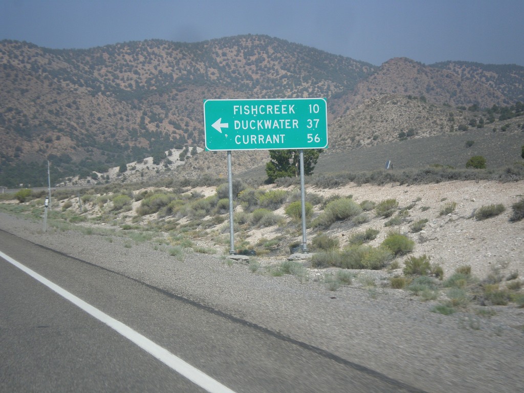
US-50 West - Duckwater Jct.
US-50 west at junction to Fishcreek, Duckwater, and Currant.
Taken 08-31-2014
Eureka
Eureka County
Nevada
United States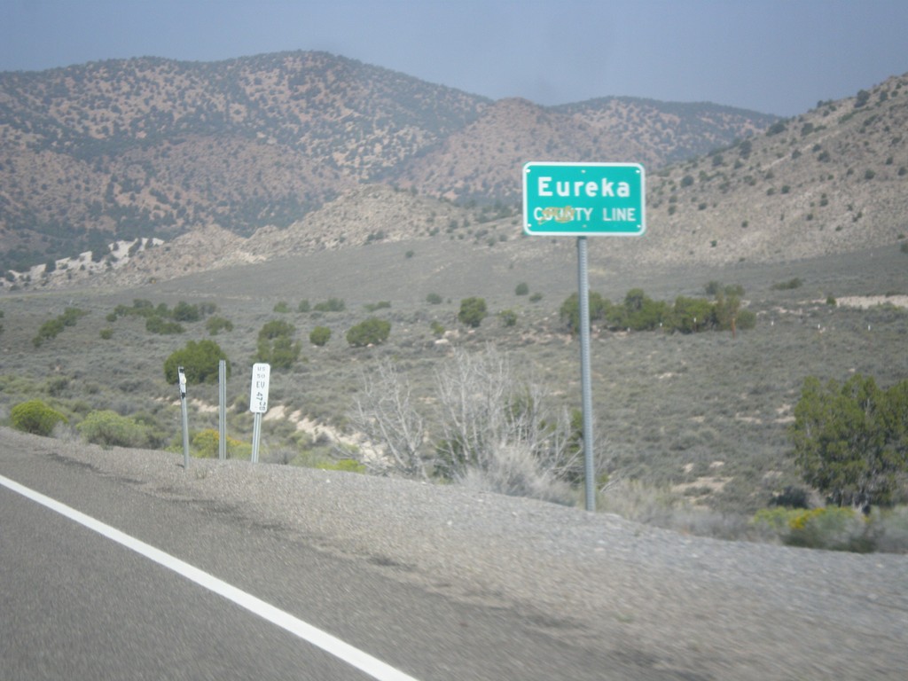
US-50 West - Eureka County Line
Eureka County Line on US-50 west.
Taken 08-31-2014
Eureka
Eureka County
Nevada
United States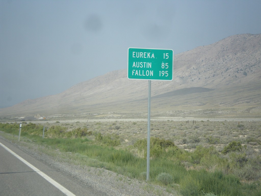
US-50 West - Distance Marker
Distance marker on US-50 west. Distance to Eureka, Austin, and Fallon.
Taken 08-31-2014
Eureka
White Pine County
Nevada
United States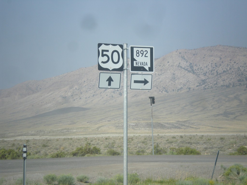
US-50 West at NV-892 North
US-50 West at NV-892 North to Strawberry.
Taken 08-31-2014
 Eureka
White Pine County
Nevada
United States
Eureka
White Pine County
Nevada
United States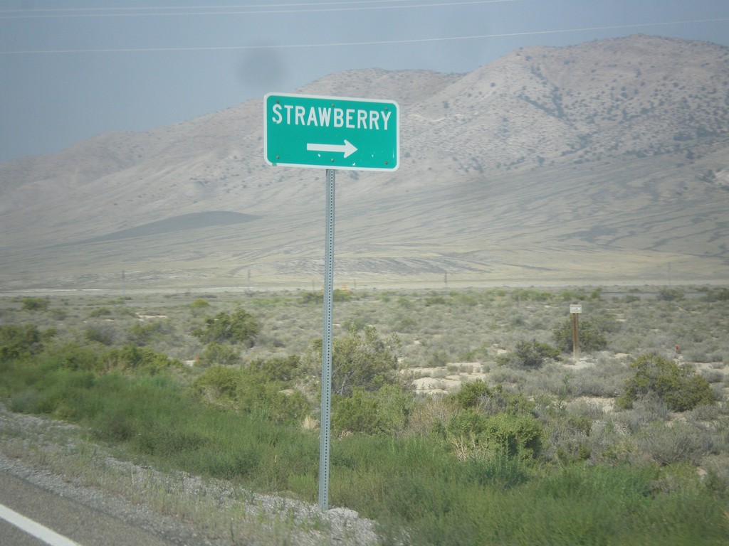
US-50 West Approaching NV-892
US-50 west approaching NV-892 north to Strawberry.
Taken 08-31-2014
Eureka
White Pine County
Nevada
United States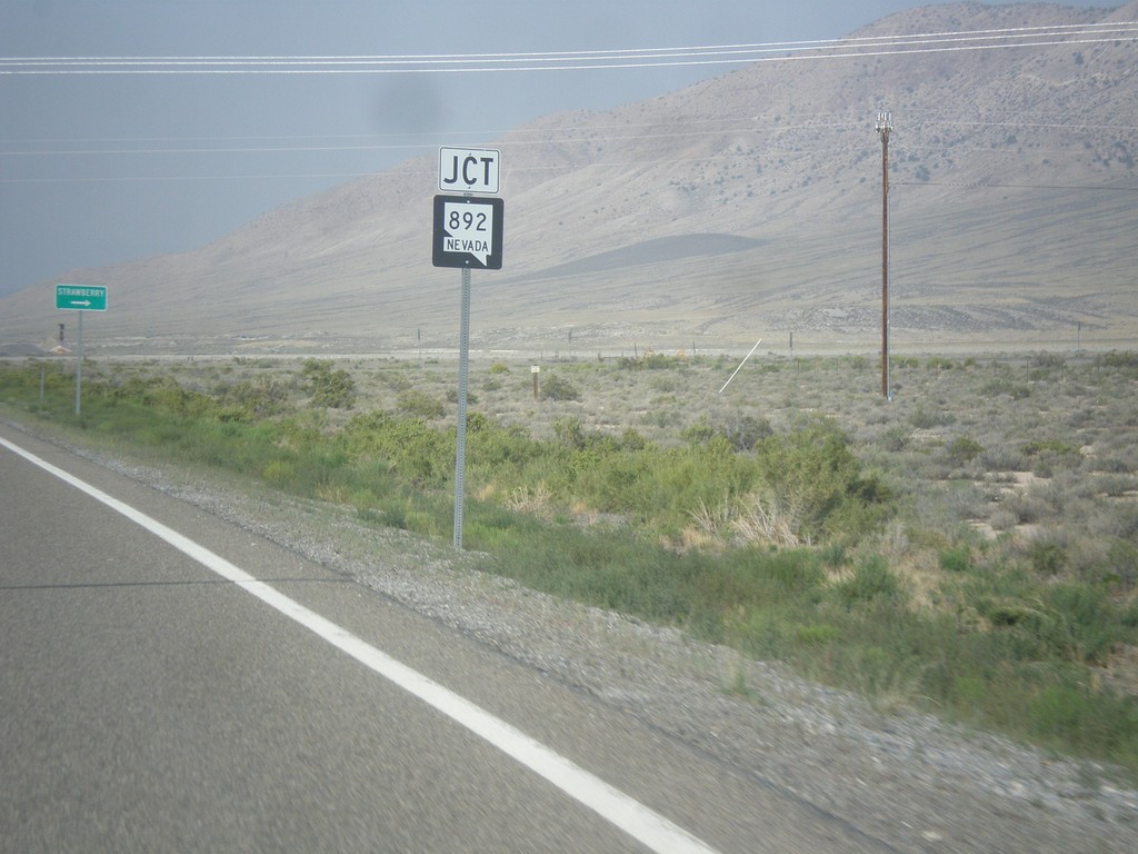
US-50 West Approaching NV-892
US-50 West approaching NV-892 junction in White Pine County.
Taken 08-31-2014
Eureka
White Pine County
Nevada
United States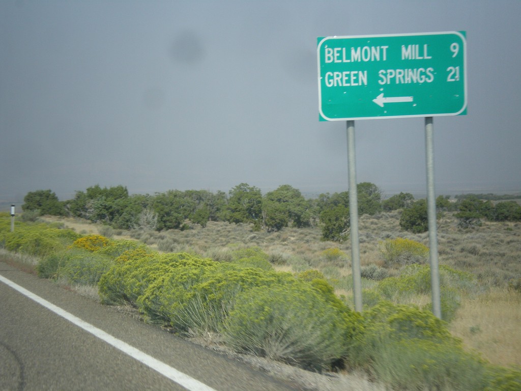
US-50 West - Belmont Mill Jct.
US-50 west at junction to Belmont Mill and Green Springs.
Taken 08-31-2014
White Pine County
Nevada
United States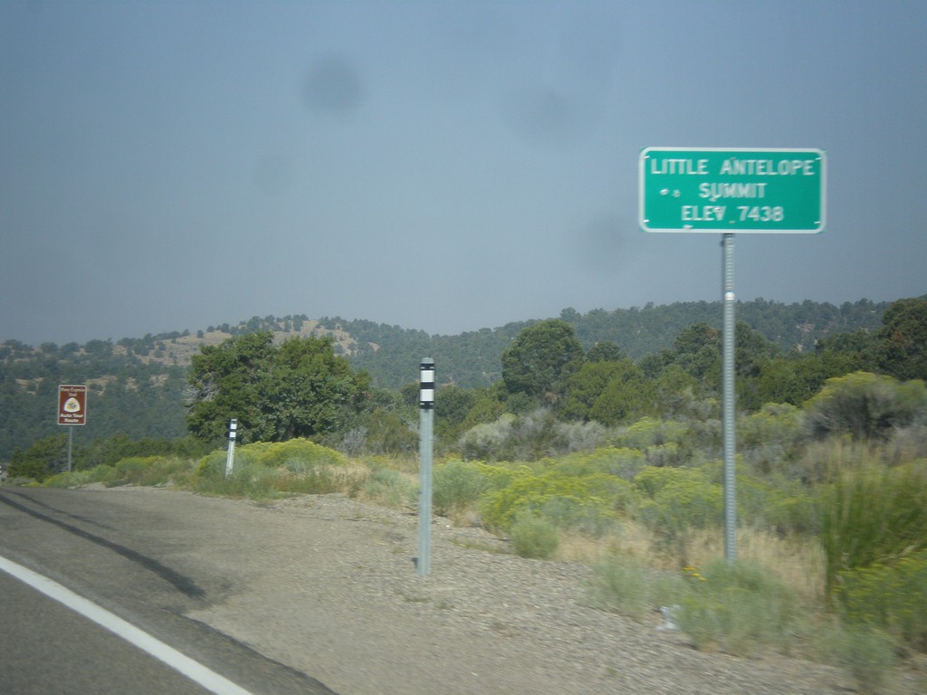
US-50 West - Little Antelope Summit
US-50 west at Little Antelope Summit - Elevation 7,438 Feet. Little Antelope Summit is in the Pine Range.
Taken 08-31-2014
White Pine County
Nevada
United States