Signs From Nevada
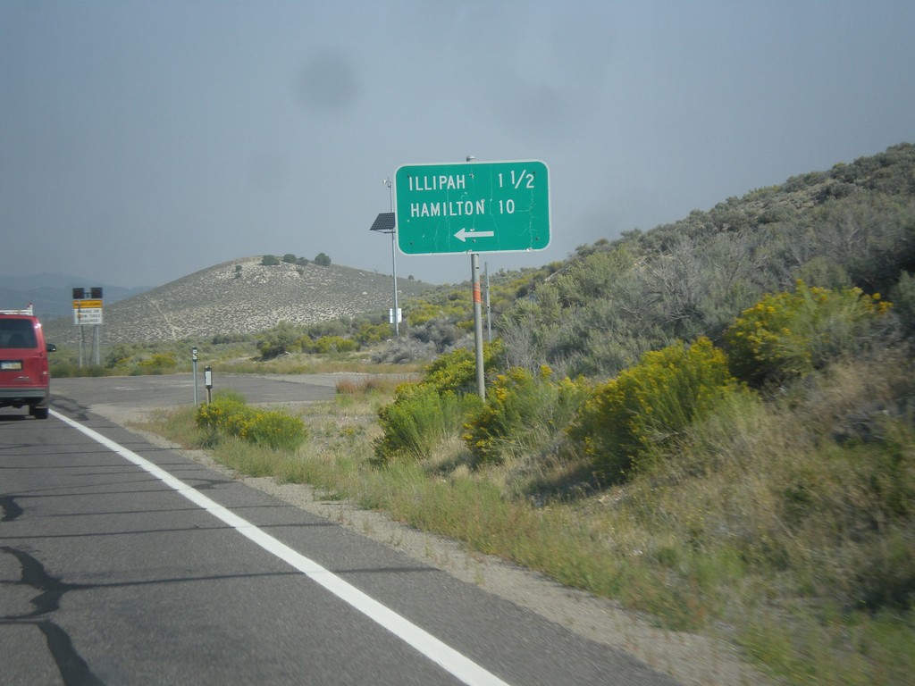
US-50 West - Illipah and Hamilton Jct.
US-50 West at Illipah and Hamilton Jct.
Taken 08-31-2014
 Ely
White Pine County
Nevada
United States
Ely
White Pine County
Nevada
United States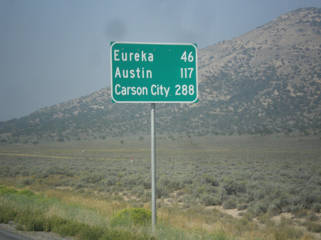
US-50 West - Distance Marker
Distance marker on US-50 west. Distance to Eureka, Austin, and Carson City.
Taken 08-31-2014
Ely
White Pine County
Nevada
United States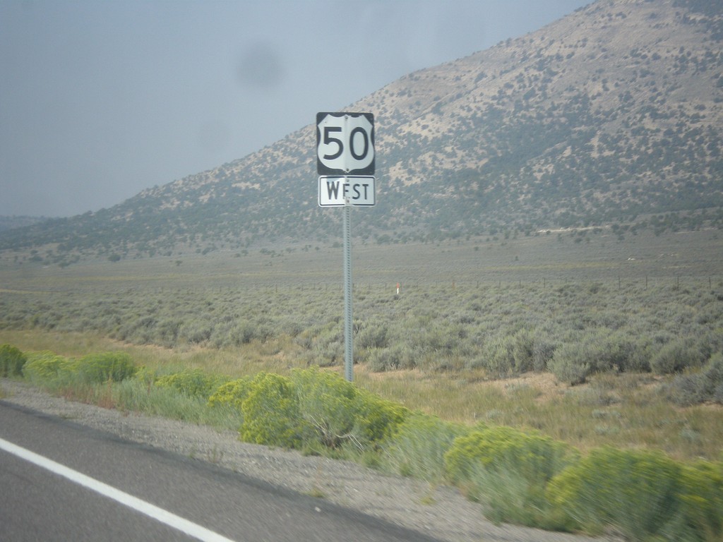
US-50 West - White Pine County
US-50 west in White Pine County.
Taken 08-31-2014
Ely
White Pine County
Nevada
United States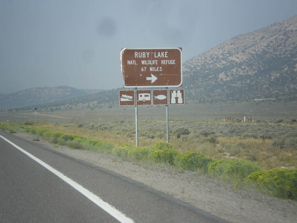
US-50 West - Ruby Lake NWR Jct.
US-50 west at junction to Ruby Lake National Wildlife Refuge in White Pine County.
Taken 08-31-2014
Ely
White Pine County
Nevada
United States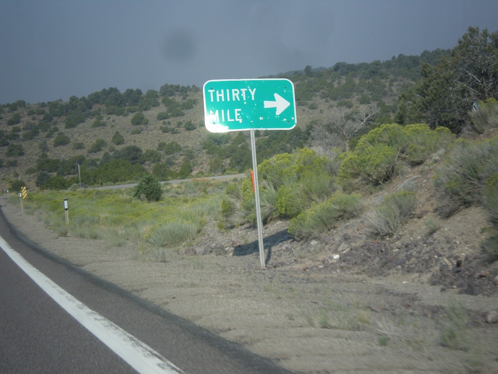
US-50 West - Thirty Mile Jct.
Thirty Mile Jct. on US-50 west in White Pine County.
Taken 08-31-2014
Ely
White Pine County
Nevada
United States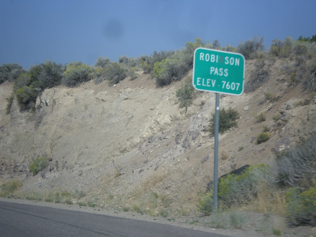
US-50 West - Robinson Summit
US-50 west at Robinson Pass - Elevation 7,607 Feet. Robinson Pass is in the Egan Range.
Taken 08-31-2014
Ely
White Pine County
Nevada
United States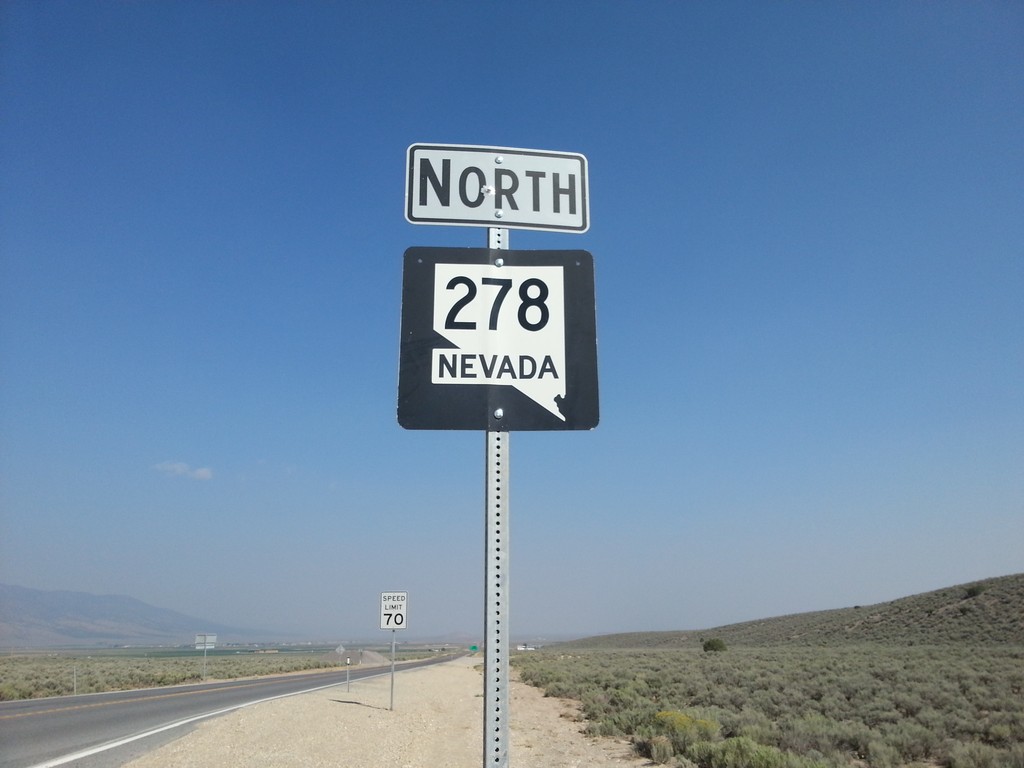
NV-278 North
NV-278 north in Eureka County. NV-278 connects US-50 near Eureka with I-80 at Carlin.
Taken 08-31-2014
 Eureka
 County
Nevada
United States
Eureka
Eureka County
Nevada
United States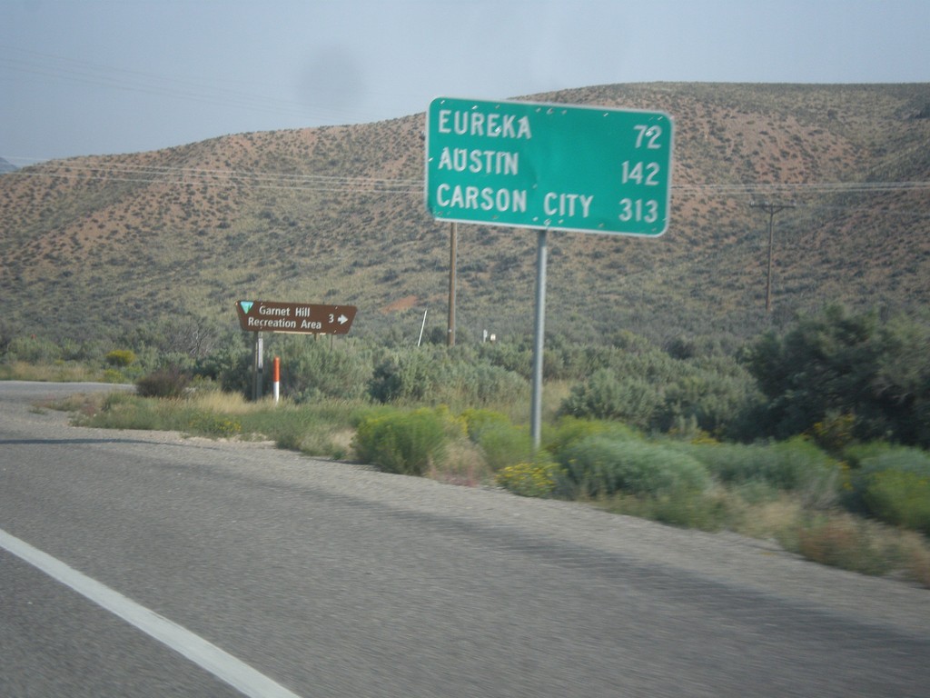
US-50 West - Distance Marker
Distance marker on US-50 west. Distance to Eureka, Austin, and Carson City.
Taken 08-31-2014
Ruth
White Pine County
Nevada
United States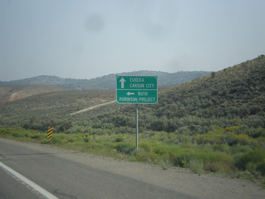
US-50 West - Ruth Jct.
US-50 west at junction to Ruth and Robinson Project. The Robinson Project is a large copper mine.
Taken 08-31-2014
Ruth
White Pine County
Nevada
United States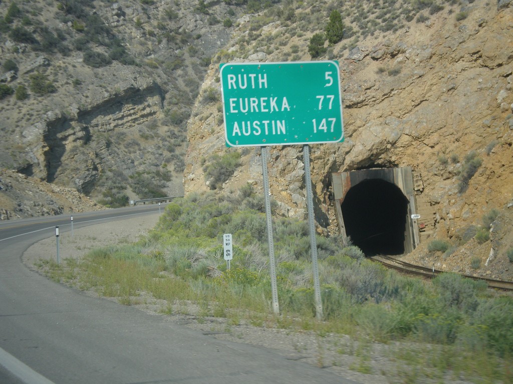
US-50 West - Distance Marker
Distance marker on US-50 west. Distance to Ruth, Eureka, and Austin.
Taken 08-31-2014
Ely
White Pine County
Nevada
United States