Signs From Nevada
US-50 West - The Loneliest Road In America
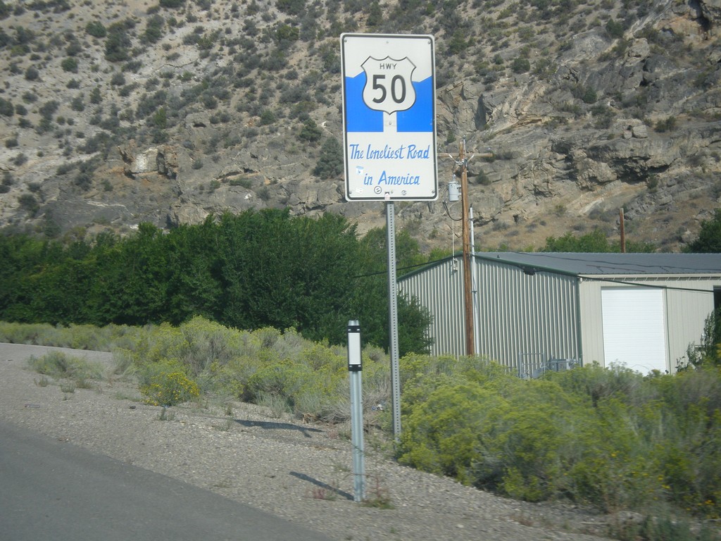
The Loneliest Road in America on US-50 west. Taken at the west edge of Ely.
Taken 08-31-2014
 Ely
White Pine County
Nevada
United States
Ely
White Pine County
Nevada
United States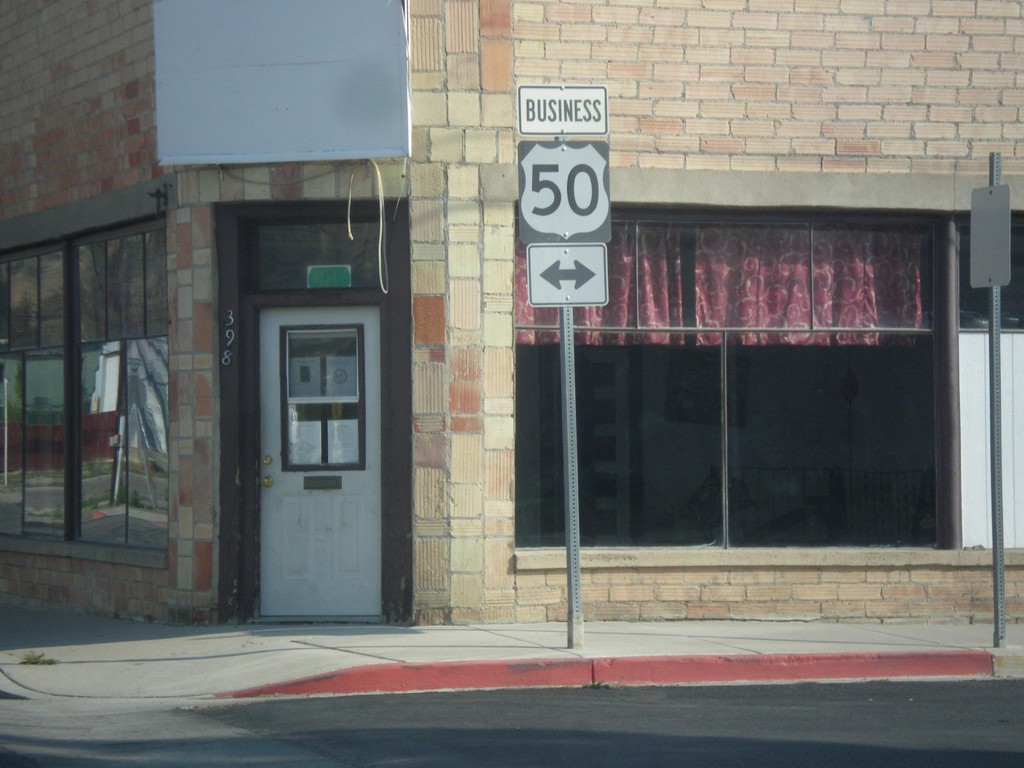
Mill St. at Clark St. (Bus. US-50)
Mill St. south at Clark St. in downtown Ely. Clark St. is one block south of the main route of US-50 and is signed as Bus. US-50. In this picture Bus. US-50 is shown as going in both directions, but Clark St. is one way eastbound.
Taken 08-31-2014
 Ely
White Pine County
Nevada
United States
Ely
White Pine County
Nevada
United States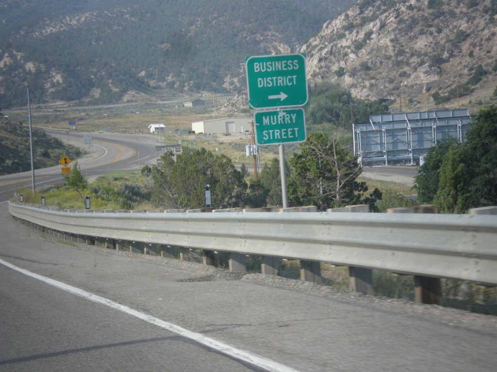
US-6 West - Murry St.
US-6 west approaching Murry St. into the Ely Business District. Murry St. used to be the former route of US-6 into Ely.
Taken 08-31-2014
 Ely
White Pine County
Nevada
United States
Ely
White Pine County
Nevada
United States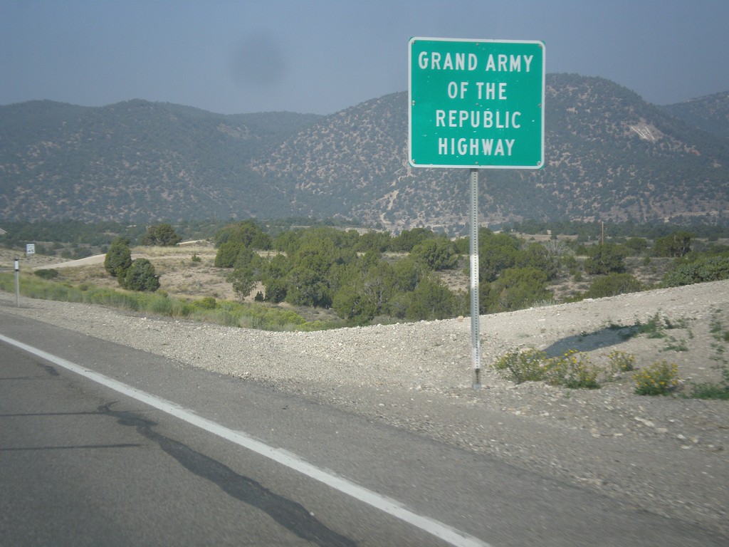
US-6 West - Grand Army of the Republic Highway
US-6 west - Grand Army of the Republic Highway.
Taken 08-31-2014
Ely
White Pine County
Nevada
United States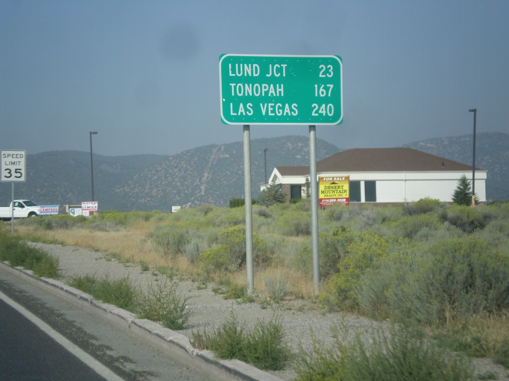
US-6 West - Distance Marker
Distance marker on US-6 west. Distance to Lund Jct., Tonopah, and Las Vegas (via NV-318).
Taken 08-31-2014
Ely
White Pine County
Nevada
United States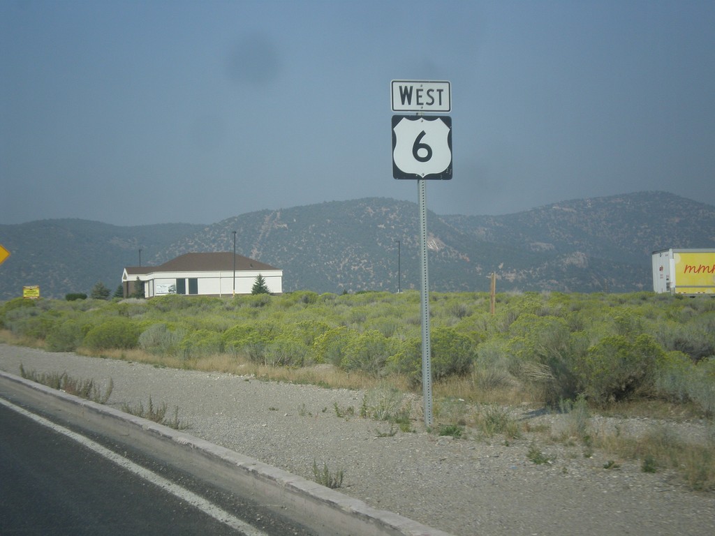
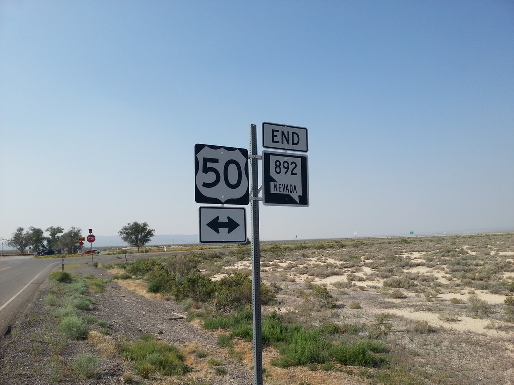
End NV-892 South at US-50
End NV-892 south at US-50 in White Pine County.
Taken 08-31-2014
 Eureka
White Pine County
Nevada
United States
Eureka
White Pine County
Nevada
United States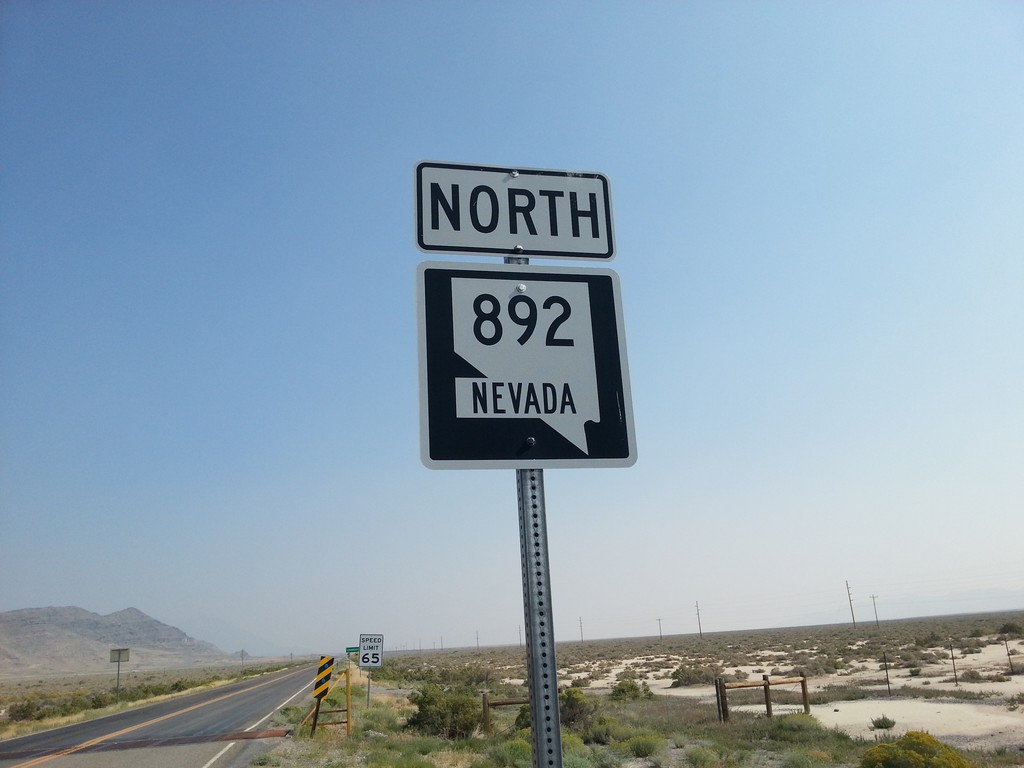
NV-892 North
NV-892 north in White Pine County. NV-892 connects US-50 with the community of Strawberry.
Taken 08-31-2014
Eureka
White Pine County
Nevada
United States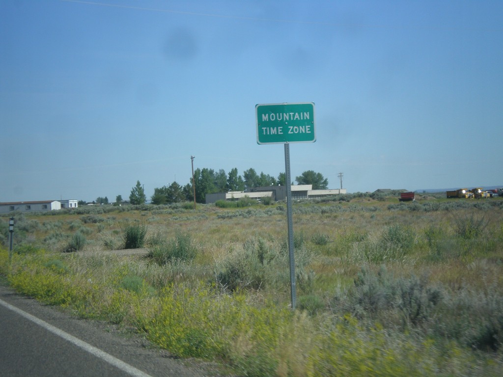
NV-225 North - Mountain Time
Entering Mountain Time Zone on NV-225 north, approaching the Idaho state line. The official time zone boundary is the Nevada-Idaho state line, but the towns of Owyhee and Mountain City, NV both observe Mountain Time.
Taken 06-21-2014
 Owyhee
Elko County
Nevada
United States
Owyhee
Elko County
Nevada
United States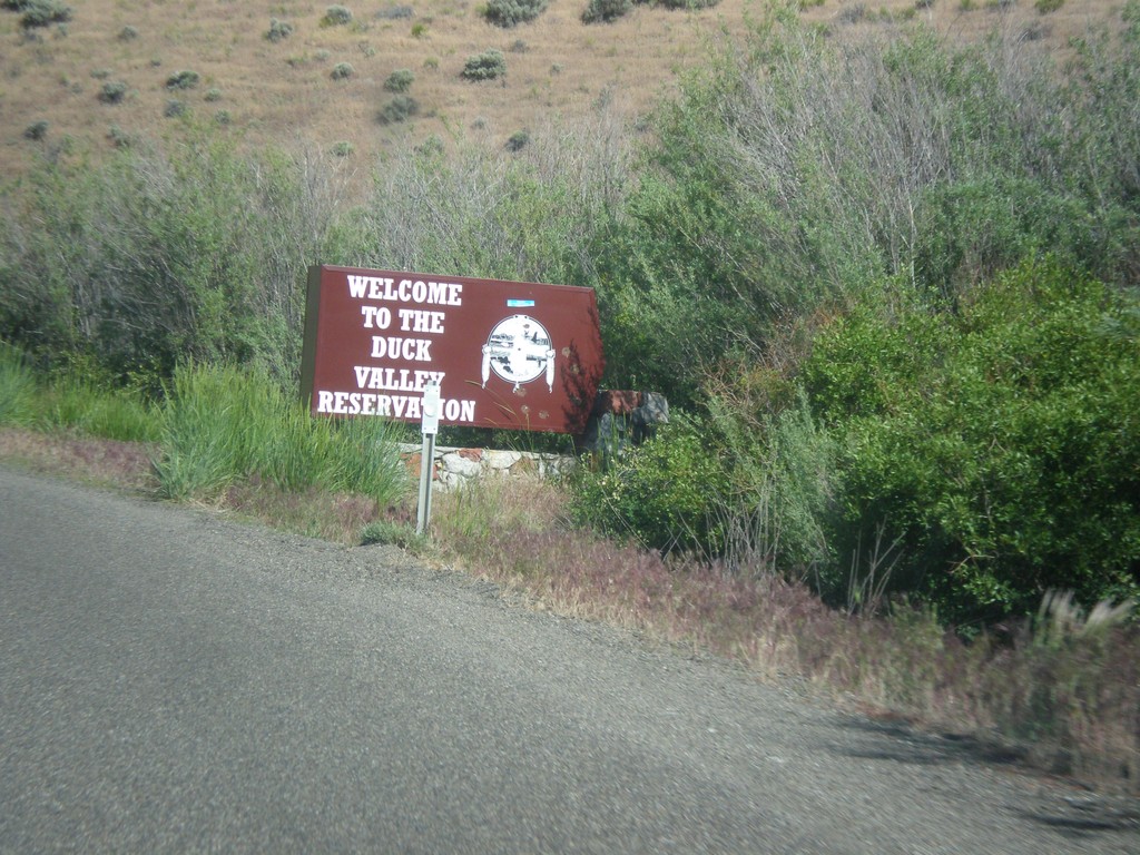
NV-225 North - Entering Duck Valley Reservation
Entering the Duck Valley Indian Reservation on NV-225 north. The Duck Valley Indian Reservation is located on the Idaho-Nevada border and is home to the Shoshone-Paiute Tribe.
Taken 06-21-2014
Mountain City
Elko County
Nevada
United States