Signs From New Mexico
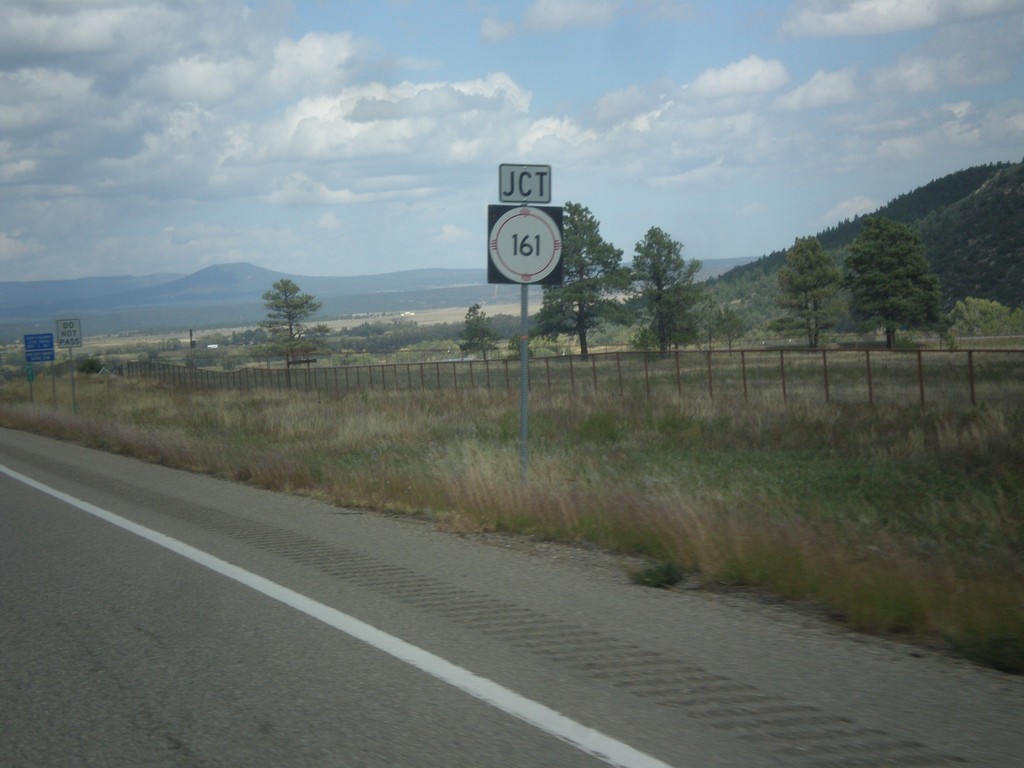
NM-518 North Approaching NM-116
NM-518 north approaching NM-116 east in Mora County.
Taken 10-10-2013

 Sapello
Mora County
New Mexico
United States
Sapello
Mora County
New Mexico
United States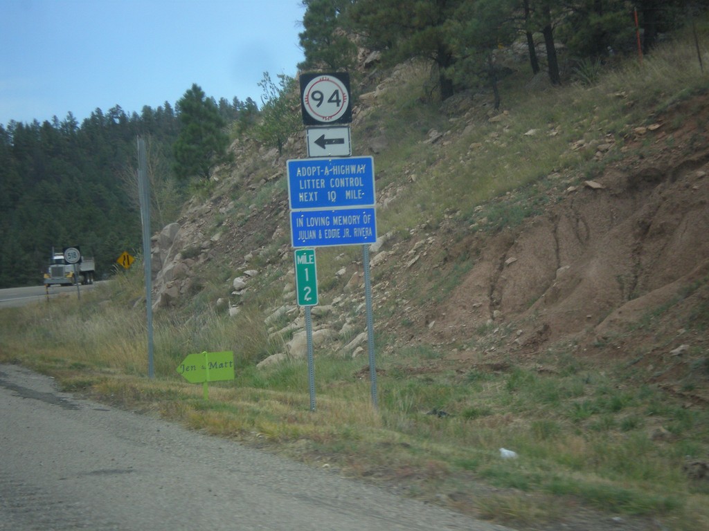
NM-518 North At NM-94
NM-518 north at NM-94 in San Miguel County.
Taken 10-10-2013
 Sapello
San Miguel County
New Mexico
United States
Sapello
San Miguel County
New Mexico
United States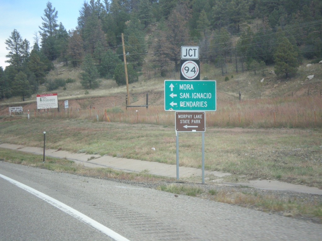
NM-518 North Approaching NM-94
NM-518 north approaching NM-94 west to San Ignacio, Pendaries, and Morphy Lake State Park. Continue north on NM-518 for Mora.
Taken 10-10-2013
Sapello
San Miguel County
New Mexico
United States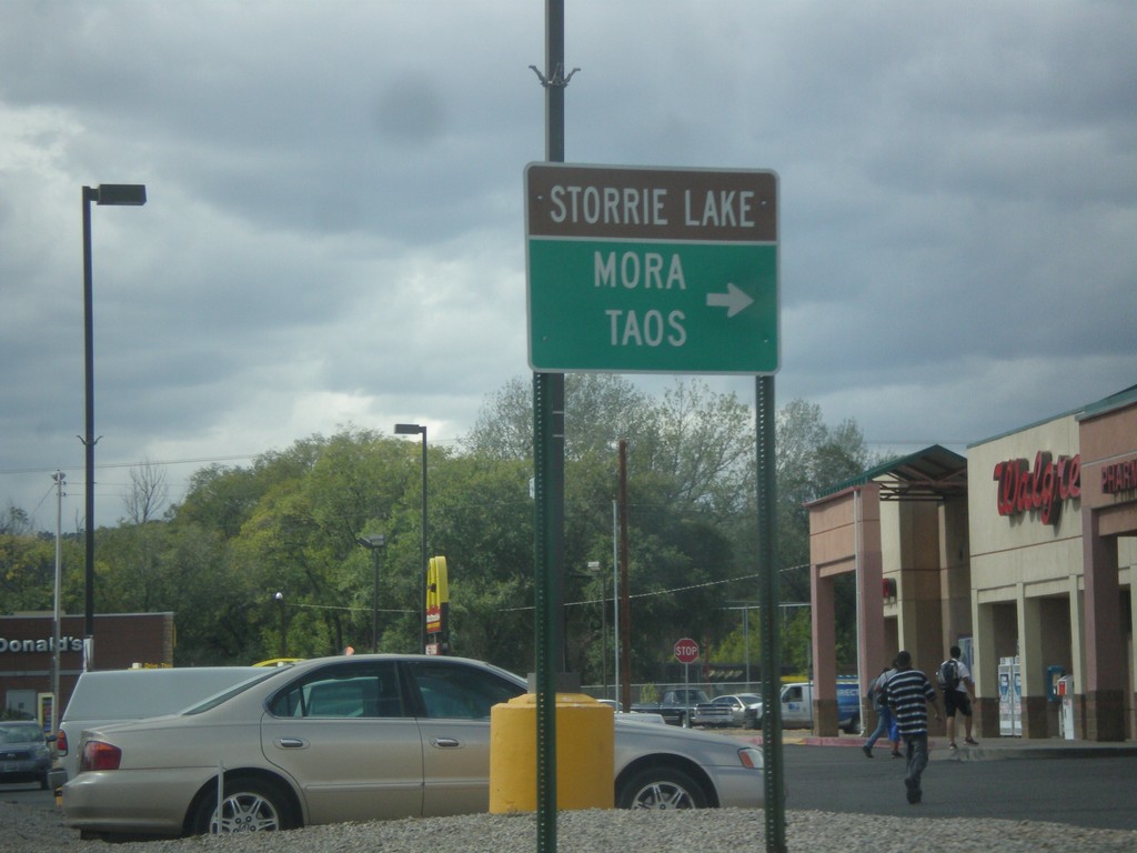
Mills Ave. West at NM-518
Mills Ave. west at NM-518. Use NM-518 north for Storrie Lake (State Park), Mora, and Taos. From the documentation I can find, it appears that Mills Ave. was formerly signed as NM-329. There were no NM-329 shields along Mills Ave. in 2013, when this picture was taken. This is also the southern end of NM-518, which used to extend south through Las Vegas to BL-25.
Taken 10-10-2013
Las Vegas
San Miguel County
New Mexico
United States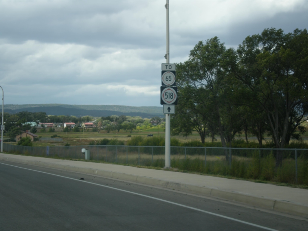
Mills Ave. - To NM-65/NM-518
Mills Ave. west, To NM-65/NM-518 in Las Vegas.
Taken 10-10-2013
 Las Vegas
San Miguel County
New Mexico
United States
Las Vegas
San Miguel County
New Mexico
United States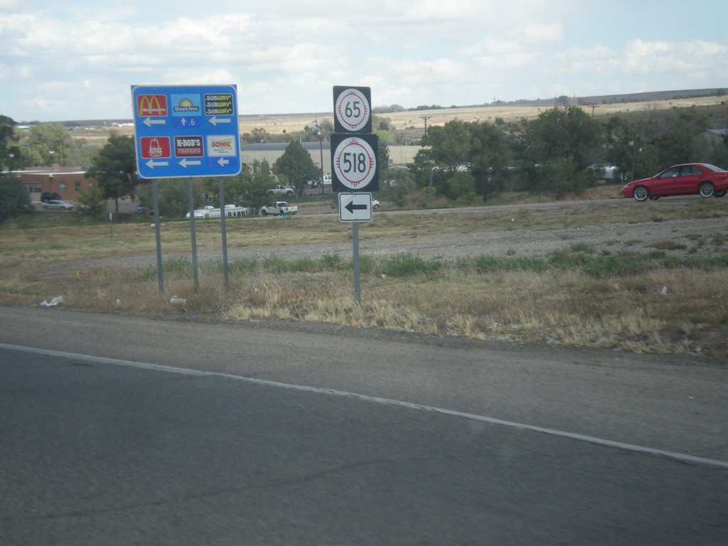
BL-25 North (Grand Ave.) at Mills Ave.
BL-25 North (Grand Ave.) at Mills Ave., which leads to NM-518 and NM-65. Mills Ave. formerly used to be NM-329.
Taken 10-10-2013
 Las Vegas
San Miguel County
New Mexico
United States
Las Vegas
San Miguel County
New Mexico
United States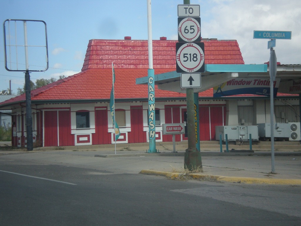
BL-25 North in Las Vegas
BL-25 north, To NM-518 and NM-65 in Las Vegas.
Taken 10-10-2013
Las Vegas
San Miguel County
New Mexico
United States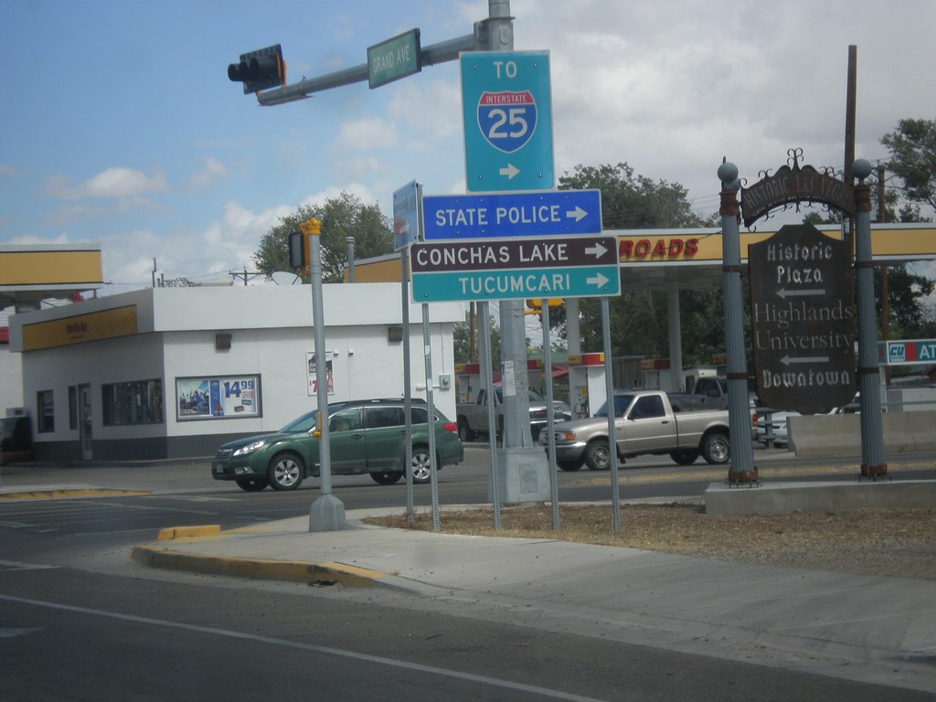
BL-25 North (Grand Ave.) at NM-104
BL-25 North (Grand Ave.) at NM-104 in Las Vegas. Turn right on NM-104 east for I-25, Conchas Lake (State Park), Tucumcari, and State Police.
Taken 10-10-2013
 Las Vegas
San Miguel County
New Mexico
United States
Las Vegas
San Miguel County
New Mexico
United States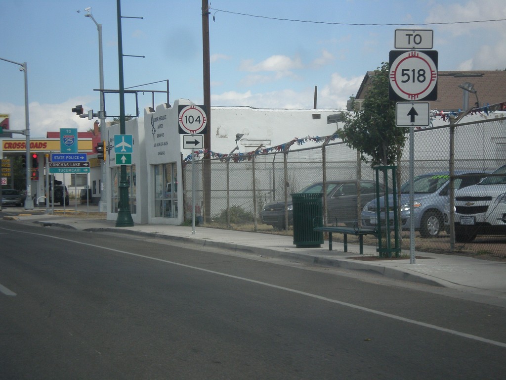
BL-25 North (Grand Ave.) Approaching NM-104
BL-25 North (Grand Ave.) approaching NM-104 in Las Vegas. Continue north on Grand Ave. for NM-518.
Taken 10-10-2013
Las Vegas
San Miguel County
New Mexico
United States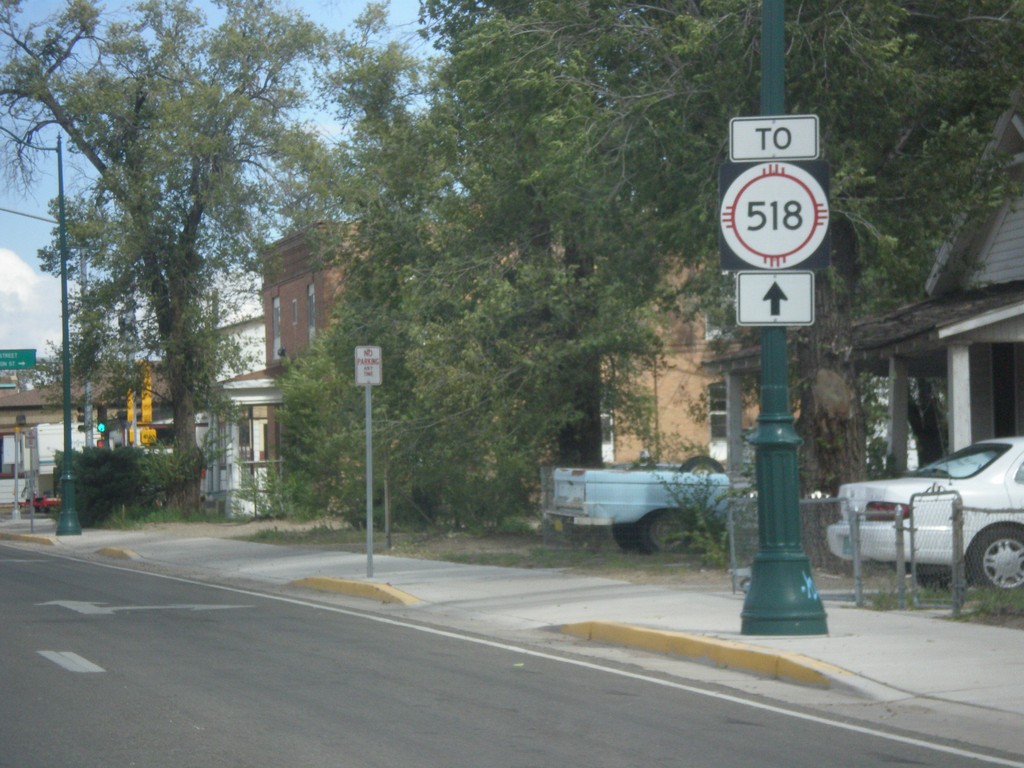
BL-25 North (Grand Ave.) at 7th St.
BL-25 North (Grand Ave.) at 7th Ave. NM-518 used to run down 7th St. in Las Vegas. Now NM-518 ends at Mills Ave., north of here, and the preferred route through Las Vegas is to take Grand Ave. north to Mills Ave.
Taken 10-10-2013
Las Vegas
San Miguel County
New Mexico
United States