Signs From New Mexico
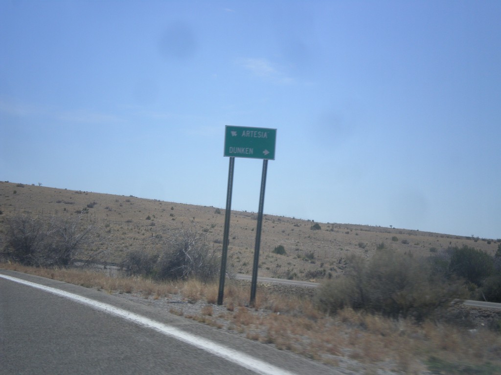
US-82 East at NM-24
US-82 east at NM-24 south to Dunken. Continue east on US-82 for Artesia.
Taken 04-14-2013

 Mayhill
Chaves County
New Mexico
United States
Mayhill
Chaves County
New Mexico
United States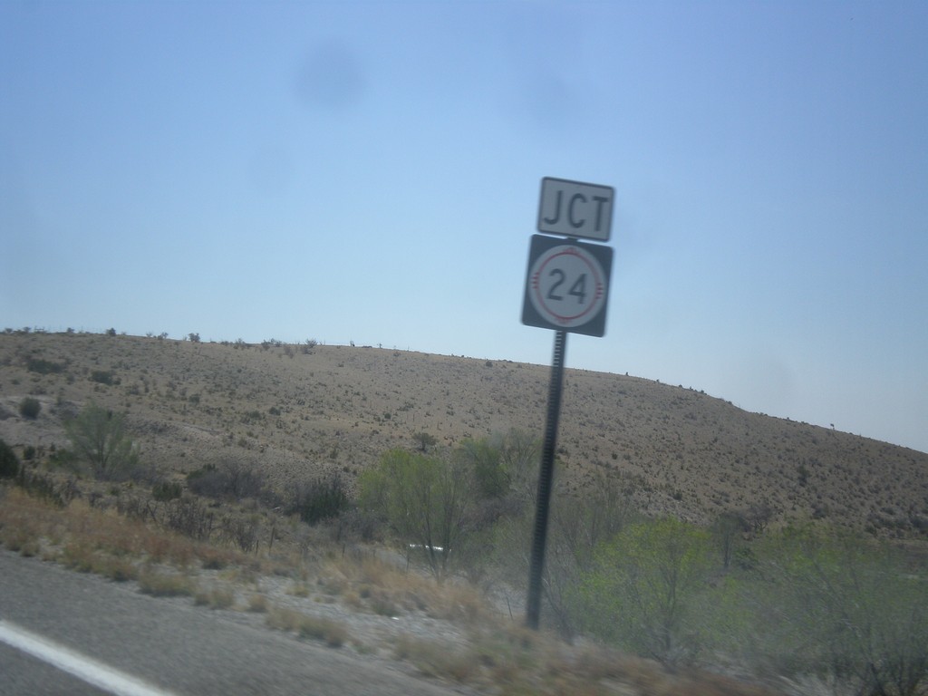
US-82 East Approaching NM-24
US-82 east approaching NM-24 junction, in rural Chaves County.
Taken 04-14-2013
Mayhill
Chaves County
New Mexico
United States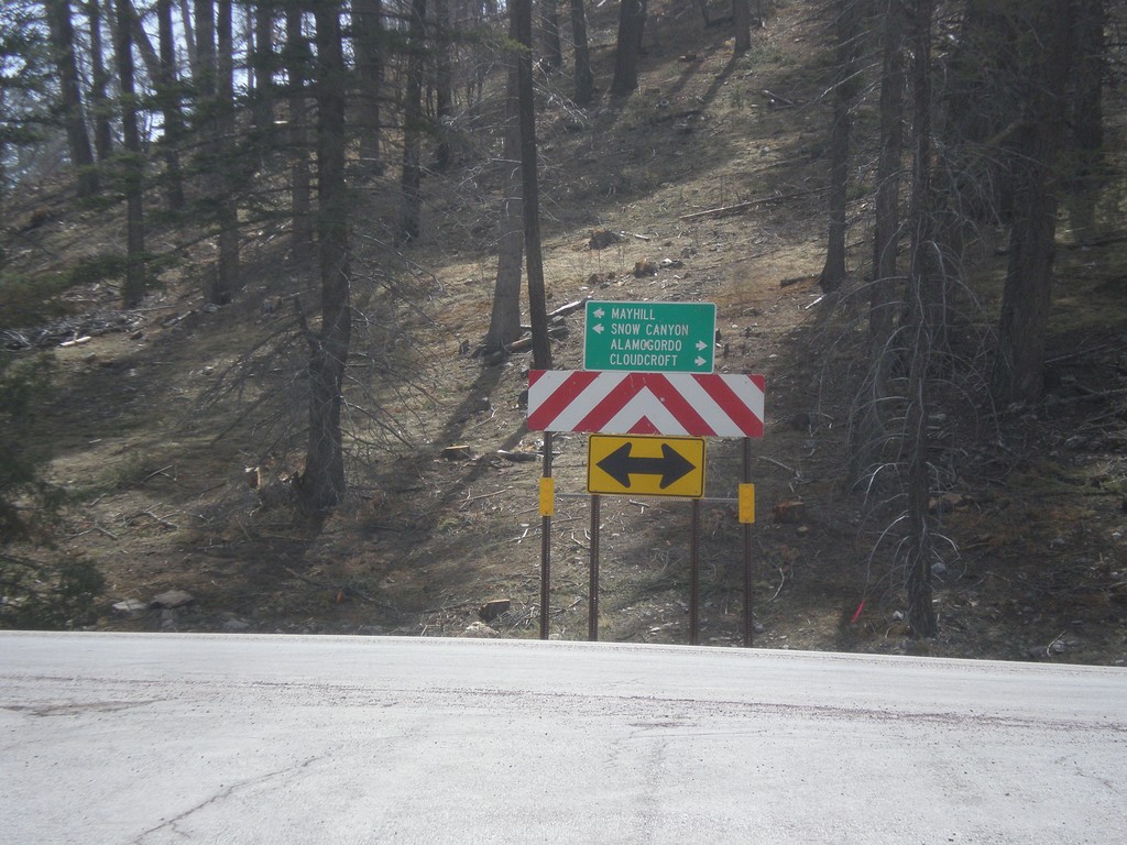
End NM-244 South at US-82
End NM-244 south at US-82. Turn right on US-82 for Alamogordo and Cloudcroft; turn left on US-82 for Mayhill and Snow Canyon.
Taken 04-14-2013
 Cloudcroft
Otero County
New Mexico
United States
Cloudcroft
Otero County
New Mexico
United States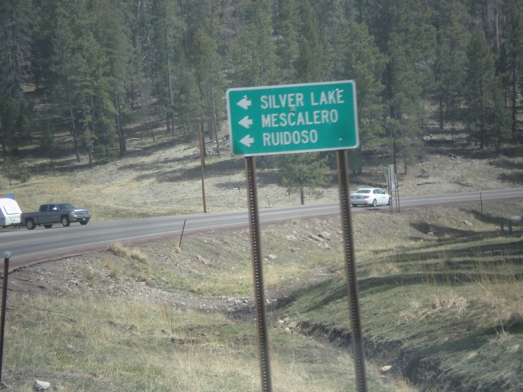
US-82 East at NM-244
US-82 east at NM-244. Turn left for NM-244 north to Mescalero, Ruidoso, and Silver Lake.
Taken 04-14-2013
Cloudcroft
Otero County
New Mexico
United States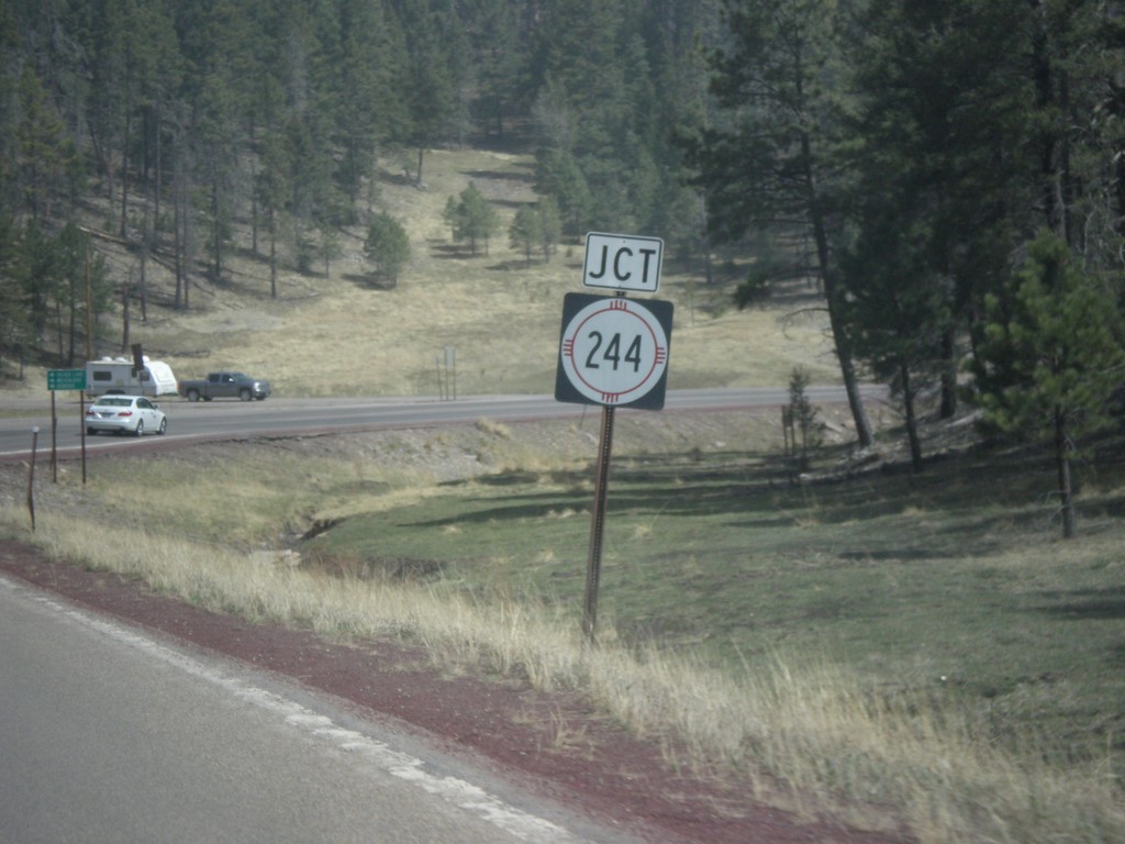
US-82 East Approaching NM-244
US-82 east approaching NM-244 junction.
Taken 04-14-2013
Cloudcroft
Otero County
New Mexico
United States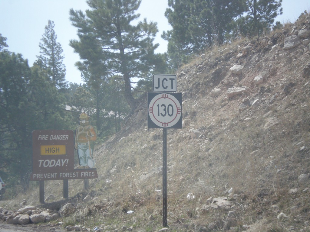
US-82 East at NM-130
US-82 east at NM-130 junction in Cloudcroft.
Taken 04-14-2013
 Mayhill
Otero County
New Mexico
United States
Mayhill
Otero County
New Mexico
United States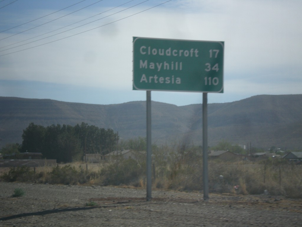
US-82 East - Distance Marker
Distance marker on US-82 east, leaving Alamogordo. Distance to Cloudcroft, Mayhill, and Artesia.
Taken 04-14-2013
Alamogordo
Otero County
New Mexico
United States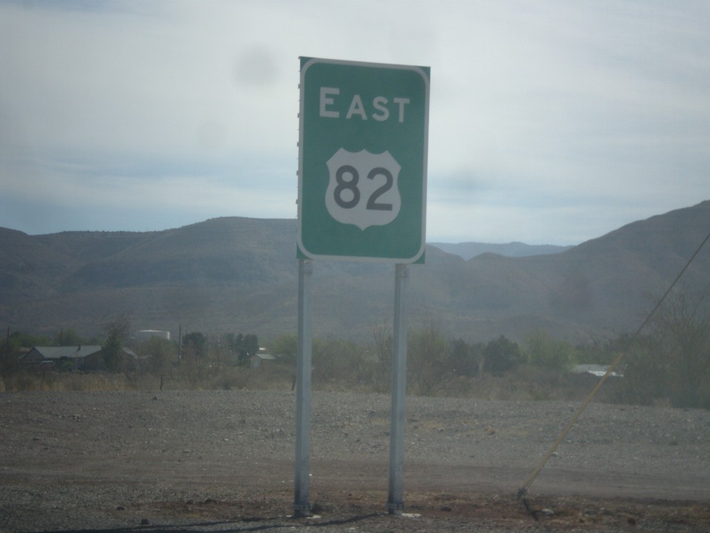
US-82 East
First reassurance marker on US-82 east.
Taken 04-14-2013
Alamogordo
Otero County
New Mexico
United States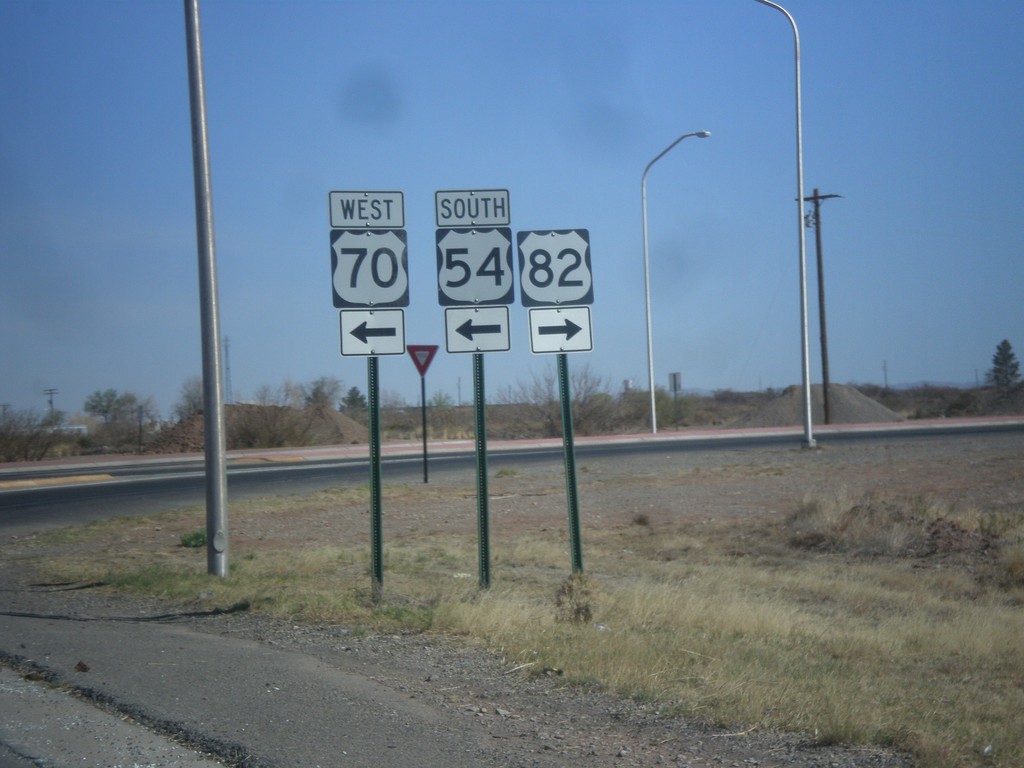
White Sands Blvd. North at US-54/US-70/US-82
White Sands Blvd. north at US-54/US-70/US-82 junction. Turn right for US-82 east; left for US-54 South/US-70 West; straight for US-54 North/US-70 East.
Taken 04-14-2013

 Alamogordo
Otero County
New Mexico
United States
Alamogordo
Otero County
New Mexico
United States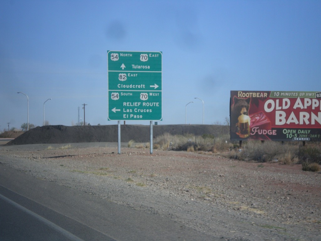
White Sands Blvd. North at US-54/US-70/US-82
White Sands Blvd. North at US-54/US-70/US-82 in Alamogordo. Turn left for US-54 South/US-70 West/Relief Route/Las Cruces/El Paso. Turn right for US-82/Cloudcroft. Continue straight for US-54 North/US-70 East/Tularosa. This is the northern end of the Alamogordo Relief Route. This is also the western terminus of US-82.
Taken 04-14-2013
Alamogordo
Otero County
New Mexico
United States