Signs From New Mexico
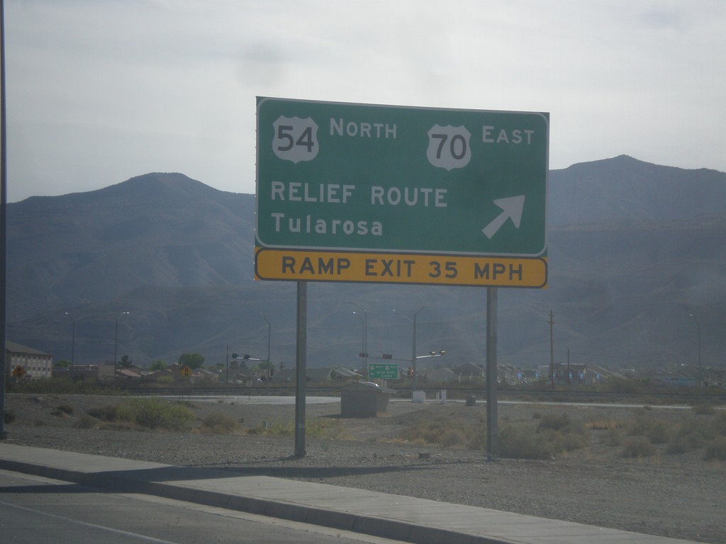
US-70 East at Alamogordo Relief Route
US-70 east at Alamogordo Relief Route. Exit here for US-70 East/US-54 North/Relief Route/Tularosa. Continue straight for downtown Alamogordo via White Sands Blvd. White Sands Blvd. rejoins US-54/US-70 on the north end of Alamogordo.
Taken 04-14-2013

 Alamogordo
Otero County
New Mexico
United States
Alamogordo
Otero County
New Mexico
United States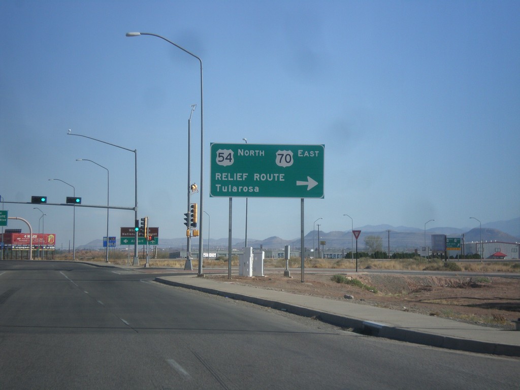
US-54 North at US-70
US-54 north at US-70 west, the southern end of the Alamogordo Relief Route. Turn right for US-54 North/US-70 East/Relief Route/Tularosa. Continue north for US-70 west, and downtown Alamogordo.
Taken 04-14-2013
Alamogordo
Otero County
New Mexico
United States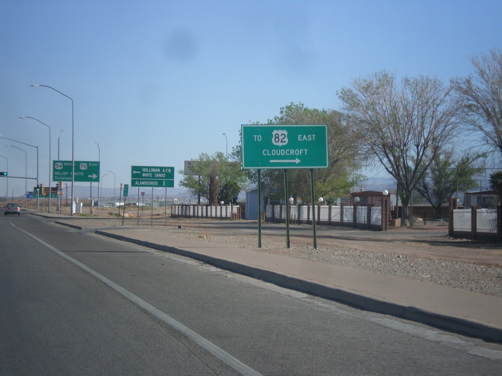
US-54 North at US-70 - Alamogordo Relief Route
US-54 north at US-70. Turn right to access US-82/Cloudcroft (via Alamogordo Relief Route).
Taken 04-14-2013
 Alamogordo
Otero County
New Mexico
United States
Alamogordo
Otero County
New Mexico
United States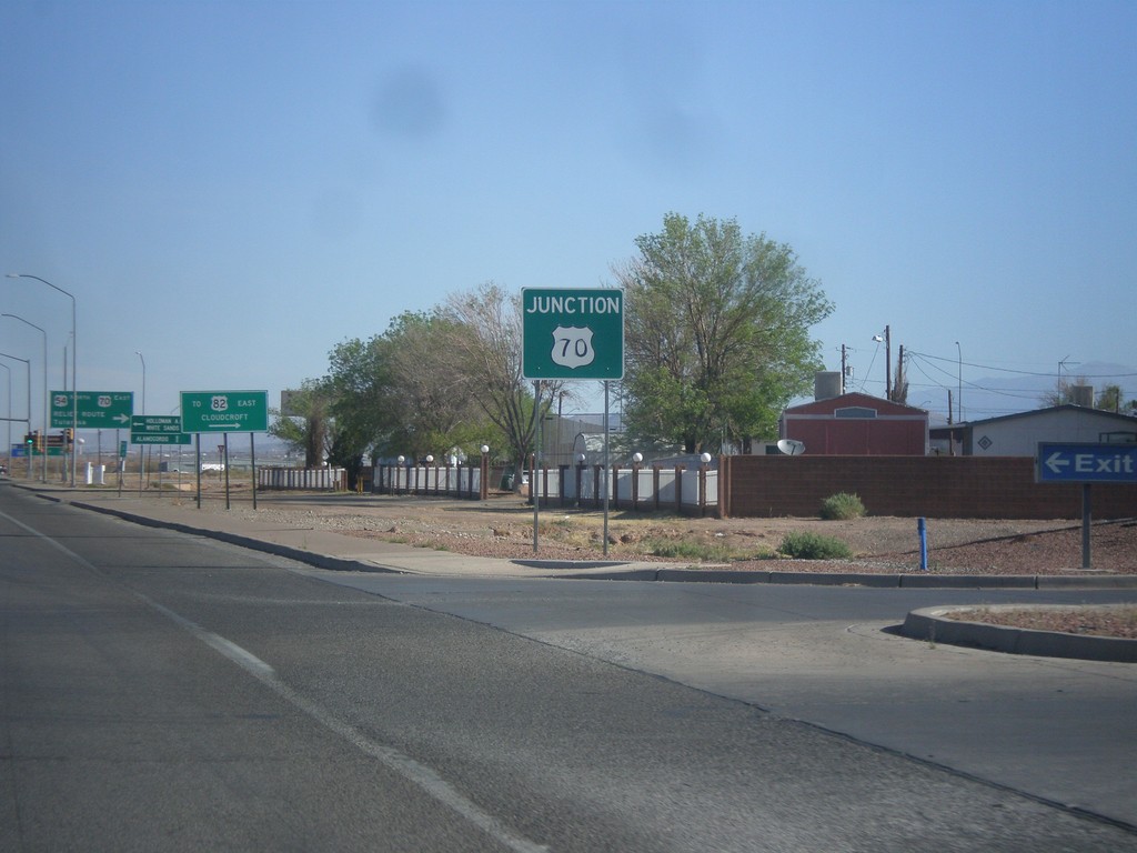
US-54 North Approaching US-70
US-54 north approaching US-70 at the southern end of the Alamogordo Relief Route.
Taken 04-14-2013
Alamogordo
Otero County
New Mexico
United States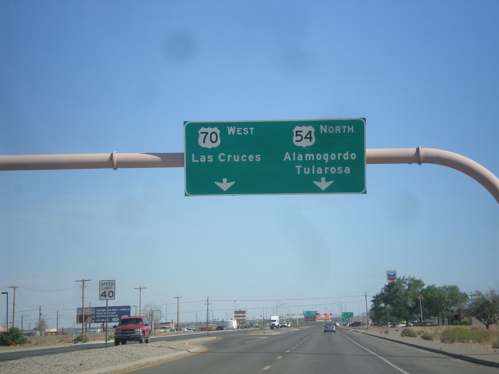
US-54 North Approaching US-70
US-54 north approaching US-70 in Alamogordo. Use US-70 west for Las Cruces. Use US-54 north for Alamogordo and Tularosa. US-70 joins US-54 north to Tularosa.
Taken 04-14-2013
Alamogordo
Otero County
New Mexico
United States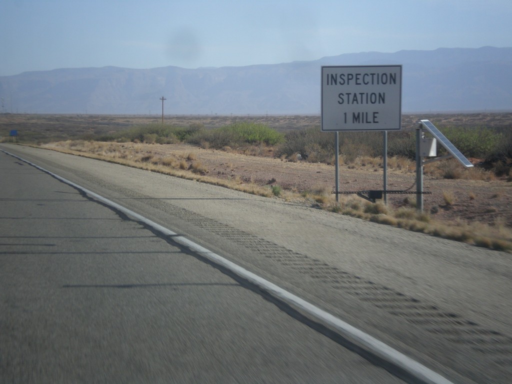
US-54 North - Inspection Station
Approaching Border Patrol Inspection Station on US-54 north. All roads leading out of the El Paso area have Border Patrol Inspections that you must pass through.
Taken 04-14-2013
Orogrande
Otero County
New Mexico
United States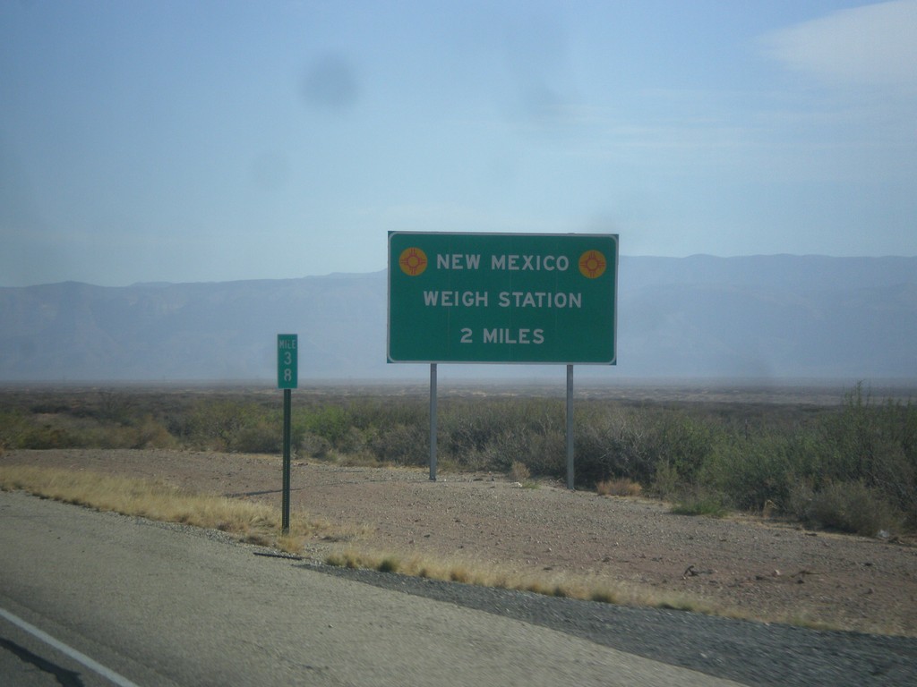
US-54 North - New Mexico Weigh Station
Approaching New Mexico Weigh Station and Border Patrol Checkpoint.
Taken 04-14-2013
Orogrande
Otero County
New Mexico
United States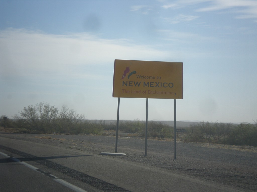
US-54 North - Welcome To New Mexico
Welcome to New Mexico - Land of Enchantment on US-54 north. US-54 is a divided highway from the Texas line north to Tularosa.
Taken 04-14-2013
Chaparral
Otero County
New Mexico
United States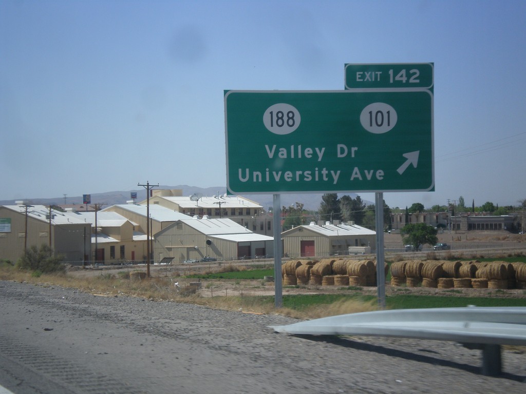
I-10 West - Exit 142
I-10 west at Exit 142 - NM-188/NM-101/Valley Drive/University Ave.
Taken 04-14-2013


 Las Cruces
Doña Ana County
New Mexico
United States
Las Cruces
Doña Ana County
New Mexico
United States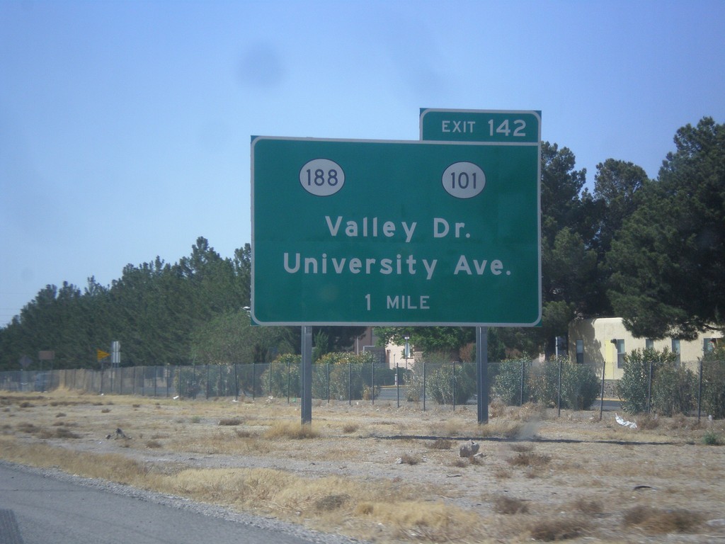
I-10 West Approaching Exit 140
I-10 west approaching Exit 140 - NM-188/NM-101/Valley Drive/University Ave.
Taken 04-14-2013
Las Cruces
Doña Ana County
New Mexico
United States