Signs From New Mexico
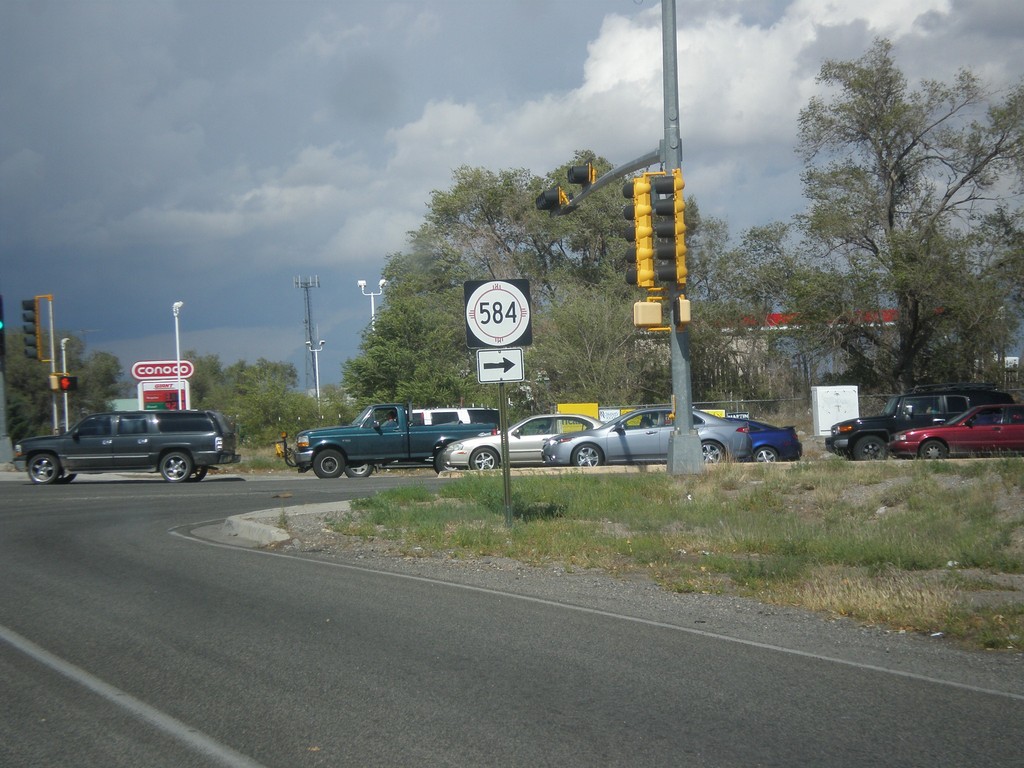
US-84 West/US-285 North at NM-584
US-84 West/US-285 North at NM-584 in Espanola.
Taken 10-12-2012


 Española
Rio Arriba County
New Mexico
United States
Española
Rio Arriba County
New Mexico
United States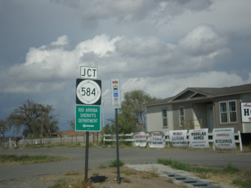
US-285 North/US-84 West Approaching NM-584
US-285 North/US-84 West approaching NM-584 in Espanola.
Taken 10-12-2012
Española
Rio Arriba County
New Mexico
United States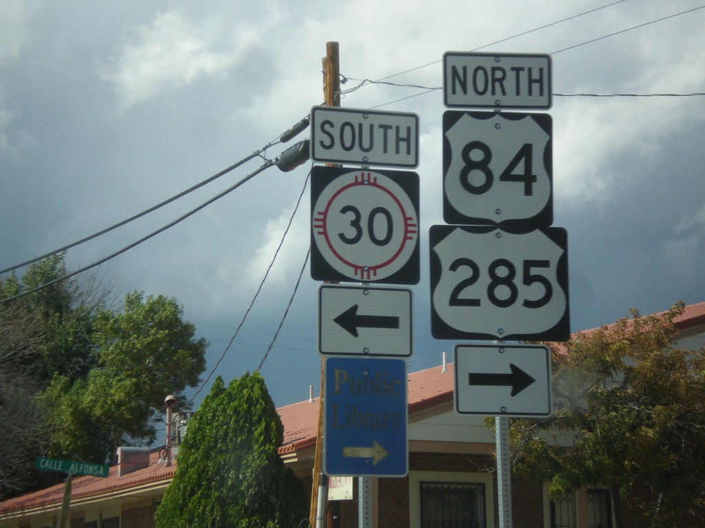
US-285 North/US-84 West at NM-30
US-285 North/US-84 West at NM-30 south.
Taken 10-12-2012
 Española
Rio Arriba County
New Mexico
United States
Española
Rio Arriba County
New Mexico
United States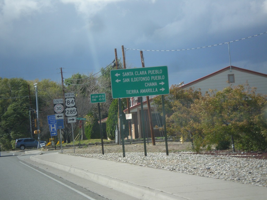
US-84 West/US-285 North Approaching NM-30
US-84 West/US-285 North approaching NM-30. Use NM-30 south for Santa Clara Pueblo, and San Ildefonso Pueblo. Continue on US-84 West/US-285 North for Chama and Tierra Amarilla.
Taken 10-12-2012
Española
Rio Arriba County
New Mexico
United States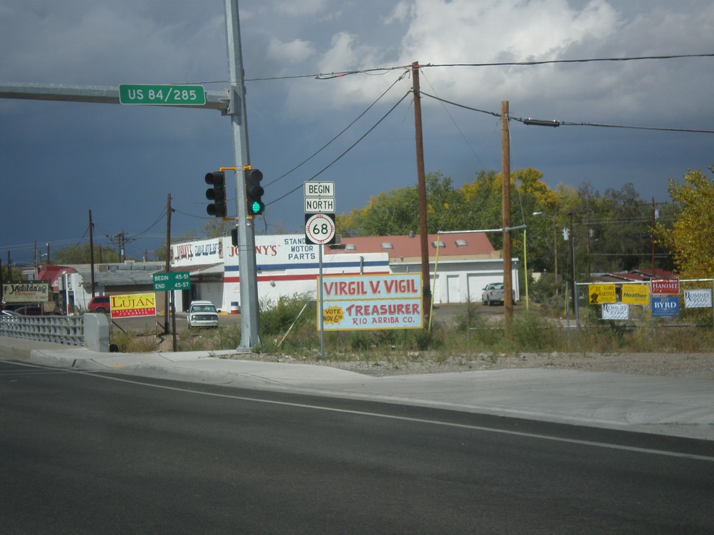
Begin NM-68 North
Begin NM-68 north in Espanola.
Taken 10-12-2012
 Española
Rio Arriba County
New Mexico
United States
Española
Rio Arriba County
New Mexico
United States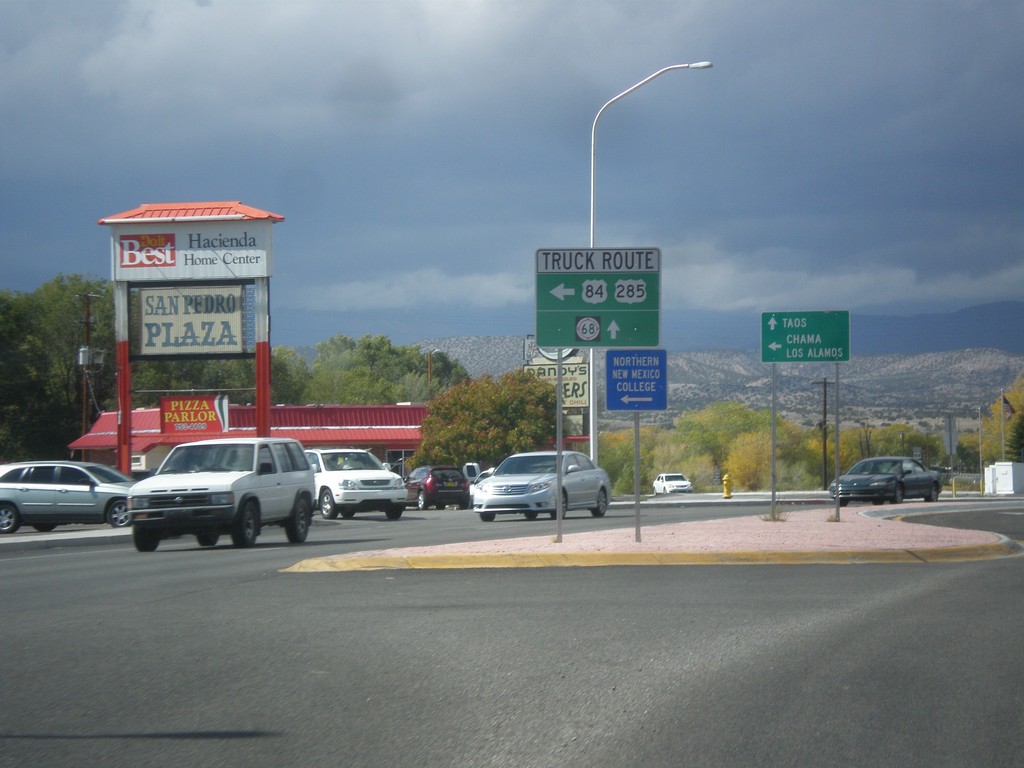
US-84 West/US-285 North at US-84/US-285 Truck Route
US-84 West/US-285 North at US-84/US-285 Truck Route (Santa Clara Bridge Road). Continue north on US-285/US-84 for general route through Espanola and NM-68. Truck traffic turn left for Chama and Los Alamos; continue straight towards Taos (via NM-68).
Taken 10-12-2012
Española
Rio Arriba County
New Mexico
United States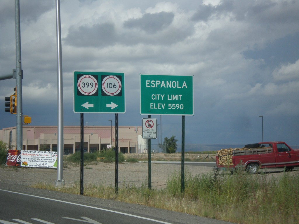
US-84 West/US-285 North - NM-399/NM-106 Jct.
US-84 West/US-285 North at NM-399/NM-106 Jct. Entering Espanola, Elevation 5590.
Taken 10-12-2012

 Santa Cruz
Santa Fe County
New Mexico
United States
Santa Cruz
Santa Fe County
New Mexico
United States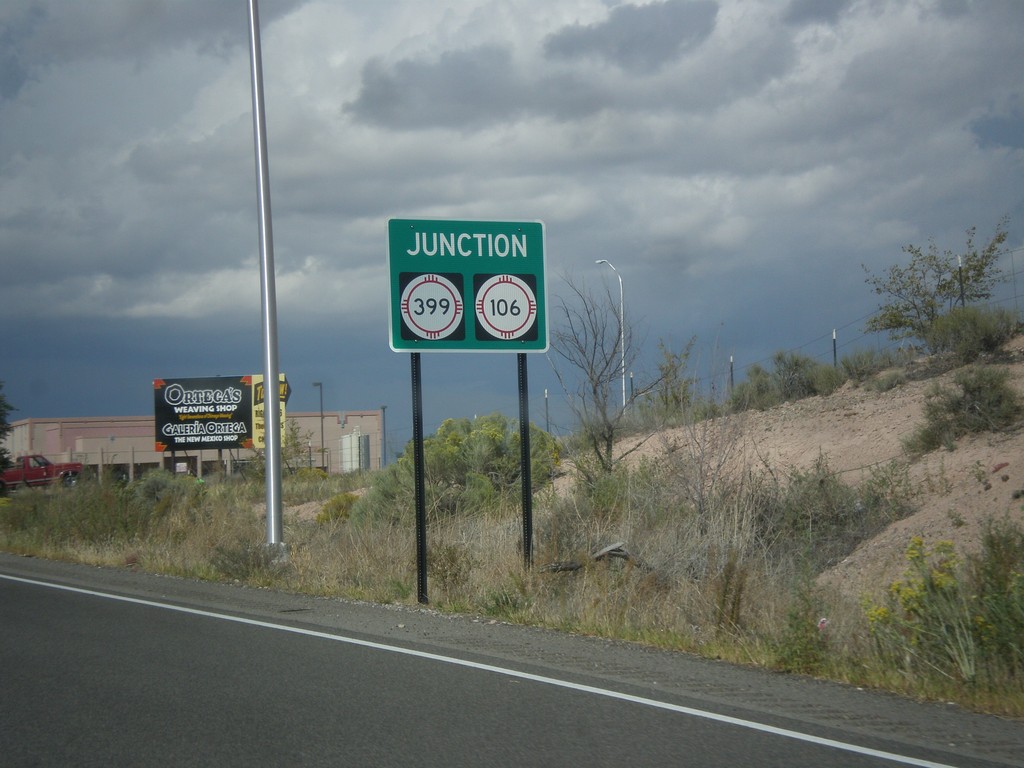
US-84 West/US-285 North Approaching NM-399/NM-106
US-84 West/US-285 North approaching NM-399/NM-106.
Taken 10-12-2012
Santa Cruz
Santa Fe County
New Mexico
United States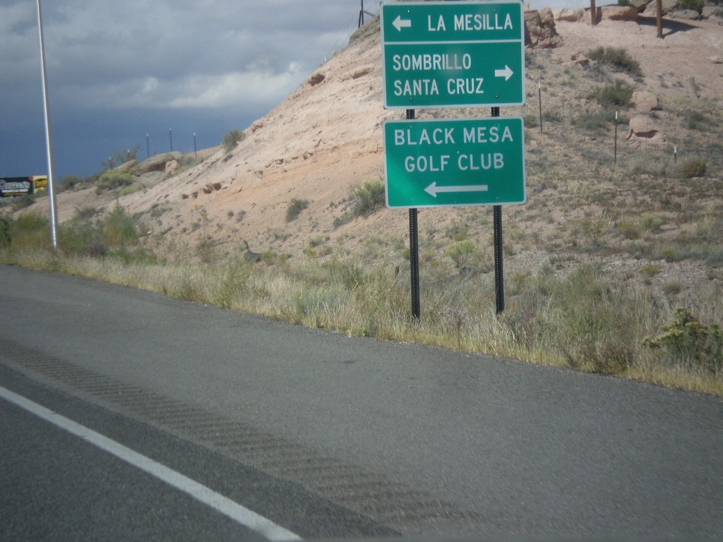
US-84 West/US-285 North Approaching NM-106/NM-399
US-84 West/US-285 North approaching NM-106/NM-399. Turn left on NM-399 for La Mesilla and Black Mesa Golf Club; right on NM-106 for Santa Cruz and Sombrillo.
Taken 10-12-2012
Santa Cruz
Santa Fe County
New Mexico
United States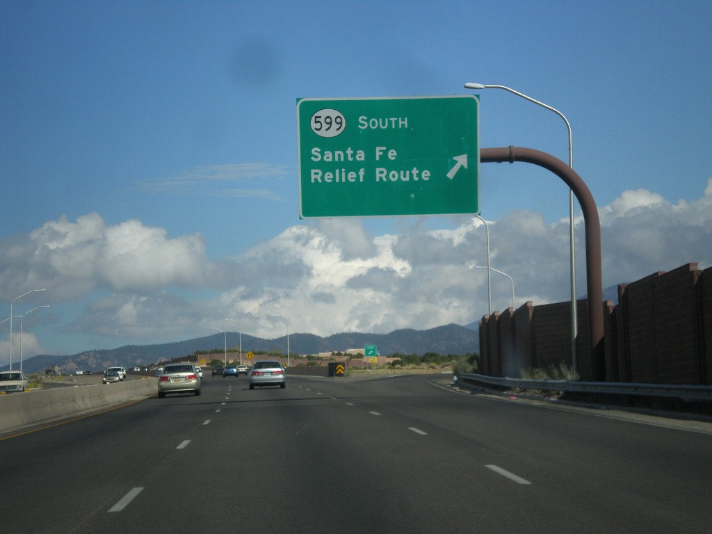
US-84 West/US-285 North at NM-599 Interchange
US-84 West/US-285 North at NM-599 interchange. Use NM-599 South for the Santa Fe Relief Route. The Sante Fe Relief Route connects the north side of Santa Fe to I-25 south without having to go through downtown Santa Fe.
Taken 10-12-2012
 Santa Fe
 County
New Mexico
United States
Santa Fe
Santa Fe County
New Mexico
United States