Signs From New Mexico
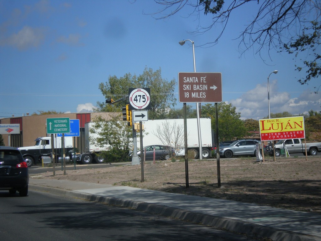
US-84 West/US-285 North at NM-475
US-84 West/US-285 North at NM-475 (Paseo de Peralta). Turn right on NM-475 for Santa Fe Ski Basin.
Taken 10-12-2012


 Santa Fe
 County
New Mexico
United States
Santa Fe
Santa Fe County
New Mexico
United States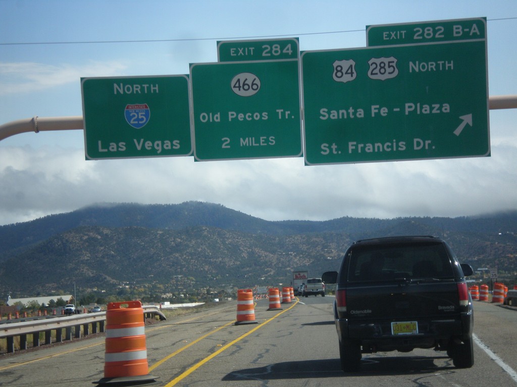
I-25 North - Exits 282B-A and 284
I-25 north at Exit 282B-A - US-84/US-285 North/Santa Fe - Plaza/St. Francis Drive. Approaching Exit 284 - NM-466/Old Pecos Trail. Continue north on I-25 for Las Vegas. US-84 joins I-25 north towards Las Vegas; US-285 joins I-25 north for 8 miles.
Taken 10-12-2012

 Santa Fe
 County
New Mexico
United States
Santa Fe
Santa Fe County
New Mexico
United States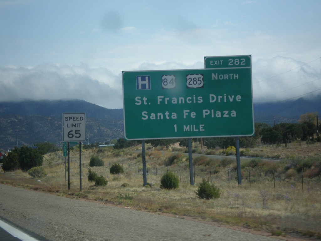
I-25 North Approaching Exit 282
I-25 North approaching Exit 282 - US-84/US-285 North/Santa Fe Plaza/St. Francis Drive.
Taken 10-12-2012
Santa Fe
Santa Fe County
New Mexico
United States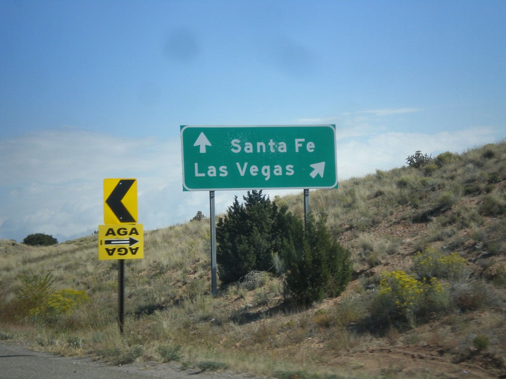
NM-14 North at I-25
NM-14 north at I-25. Merge right for I-25 north to Las Vegas. Continue north on NM-14 for Santa Fe.
Taken 10-12-2012
 Santa Fe
 County
New Mexico
United States
Santa Fe
Santa Fe County
New Mexico
United States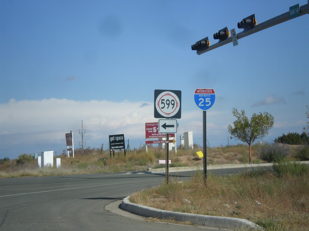
NM-14 North at NM-599
NM-14 north at NM-599. Use NM-599 for I-25. Northbound I-25 traffic can continue north on NM-14, although NM-599 is a shortcut to the freeway. This is the southern end of the Santa Fe Relief Route.
Taken 10-12-2012
 Santa Fe
 County
New Mexico
United States
Santa Fe
Santa Fe County
New Mexico
United States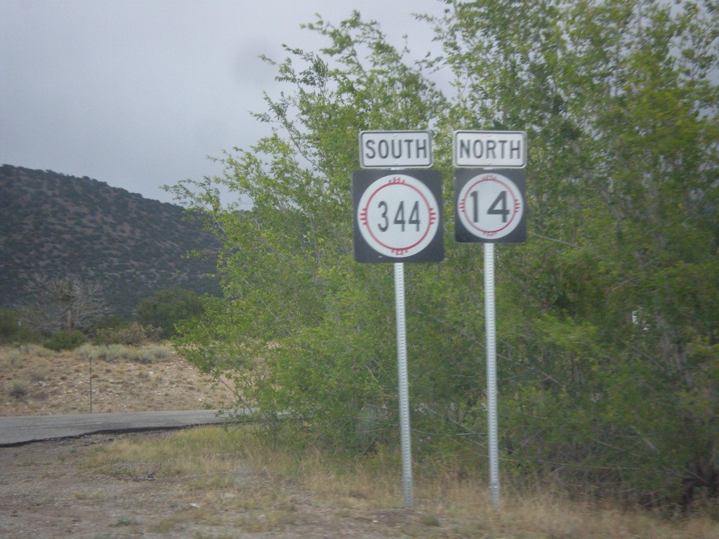
NM-14 North at NM-344
NM-14 north at NM-344. The arrows are missing from these signs. Turn right for NM-344 south; straight for NM-14 north.
Taken 10-12-2012
 Sandia Park
Santa Fe County
New Mexico
United States
Sandia Park
Santa Fe County
New Mexico
United States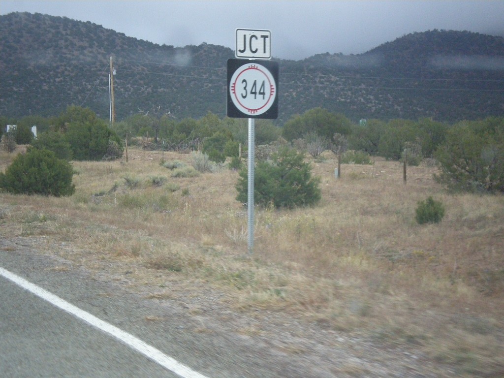
NM-14 North Approaching NM-344
NM-14 North approaching NM-344 along the Turquoise Trail.
Taken 10-12-2012
Los Cerrillos
Santa Fe County
New Mexico
United States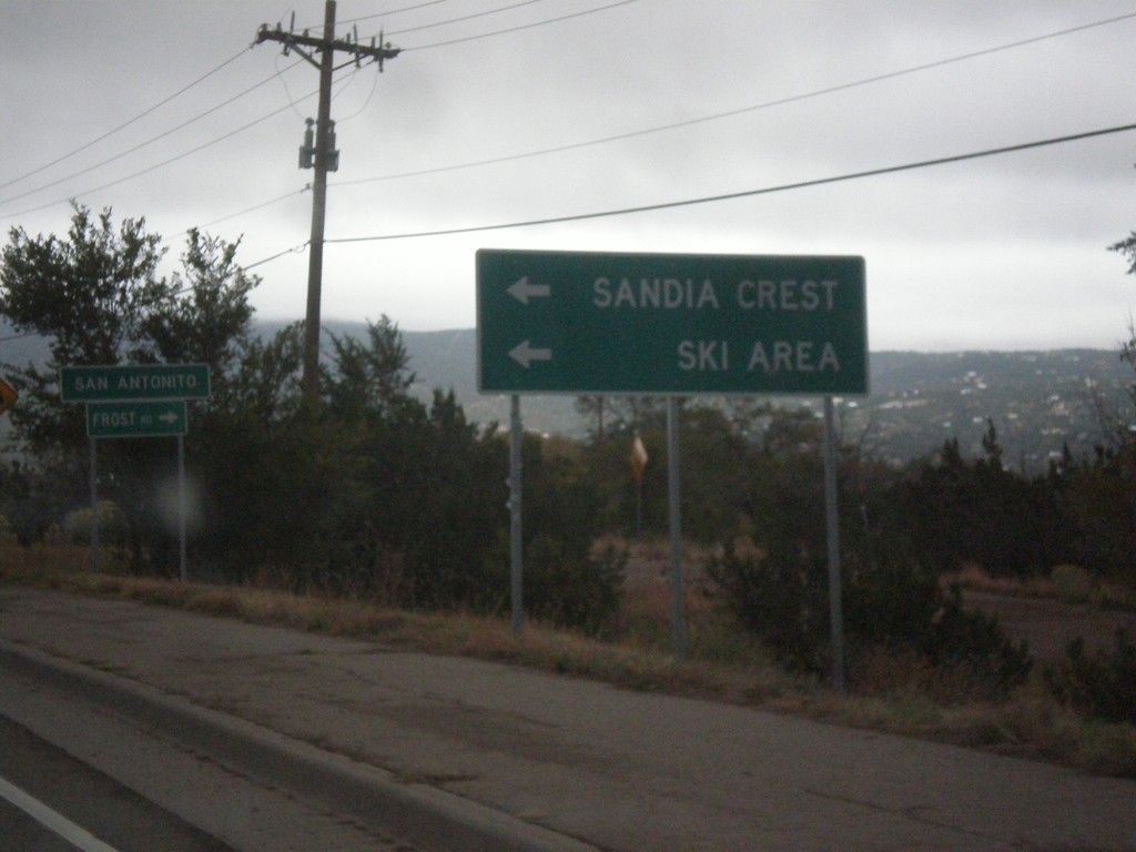
NM-14 North at NM-306/NM-536
NM-14 north at NM-536 west to Sandia Crest Ski Area. Turn right for NM-306, Frost Road. Entering the community of San Antonito.
Taken 10-12-2012

 Sandia Park
Bernalillo County
New Mexico
United States
Sandia Park
Bernalillo County
New Mexico
United States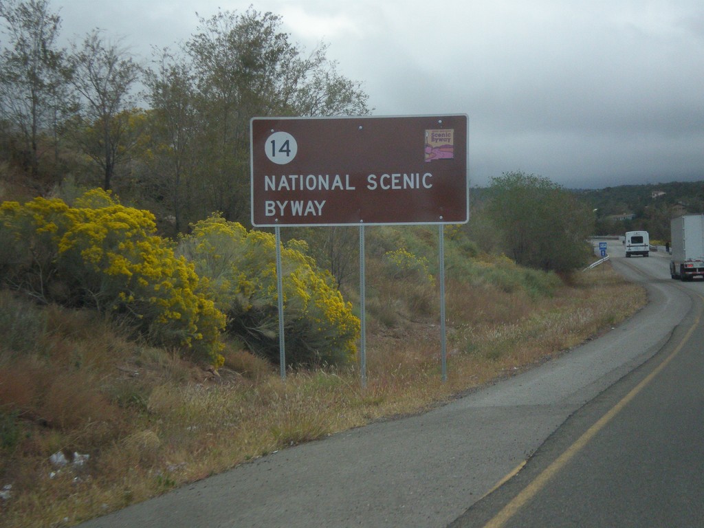
NM-14 North - National Scenic Byway
NM-14 north National Scenic Byway and New Mexico Scenic Byway sign. This is the start of the Turquoise Trail.
Taken 10-12-2012
Tijeras
Bernalillo County
New Mexico
United States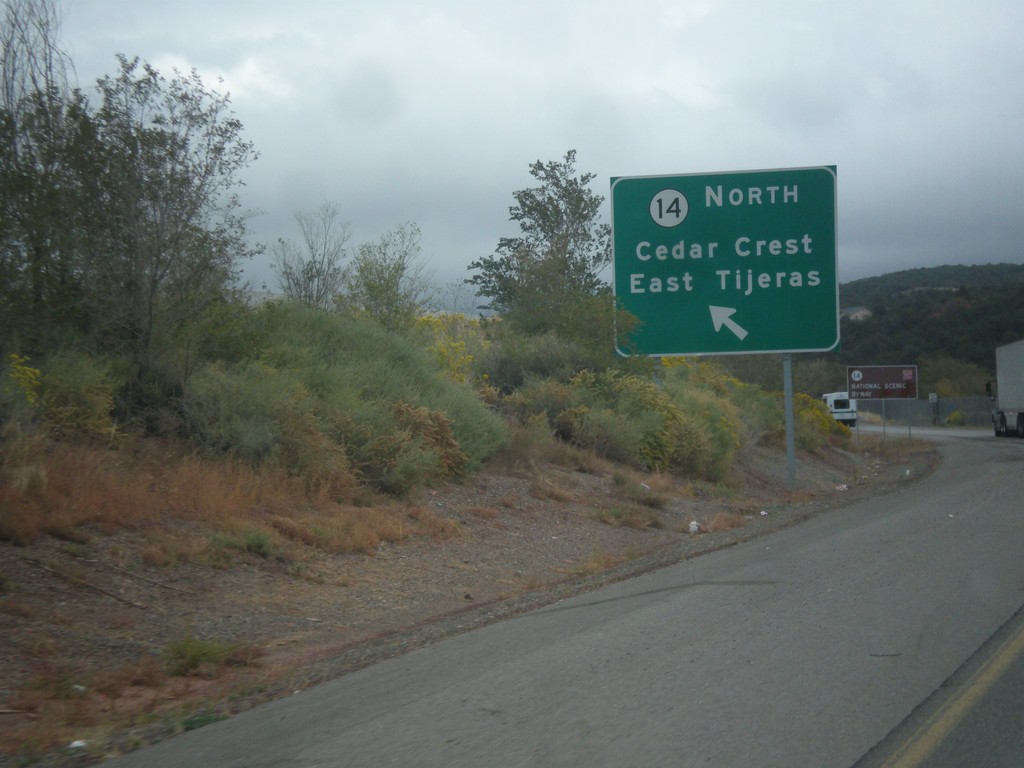
NM-14 at NM-333/NM-337
NM-14/NM-333/NM-337 junction. Use left lane for NM-14 North/Cedar Crest/East Tijeras.
Taken 10-12-2012

 Tijeras
Bernalillo County
New Mexico
United States
Tijeras
Bernalillo County
New Mexico
United States