Signs From New Mexico
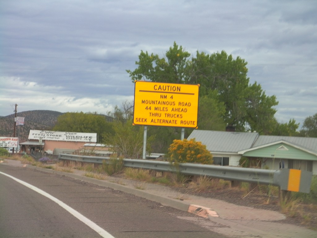
US-550 North Approaching NM-4
US-550 north approaching NM-4. NM-4 is a mountainous road 44 miles north of here and is not advised for trucks.
Taken 10-06-2011

 San Ysidro
Sandoval County
New Mexico
United States
San Ysidro
Sandoval County
New Mexico
United States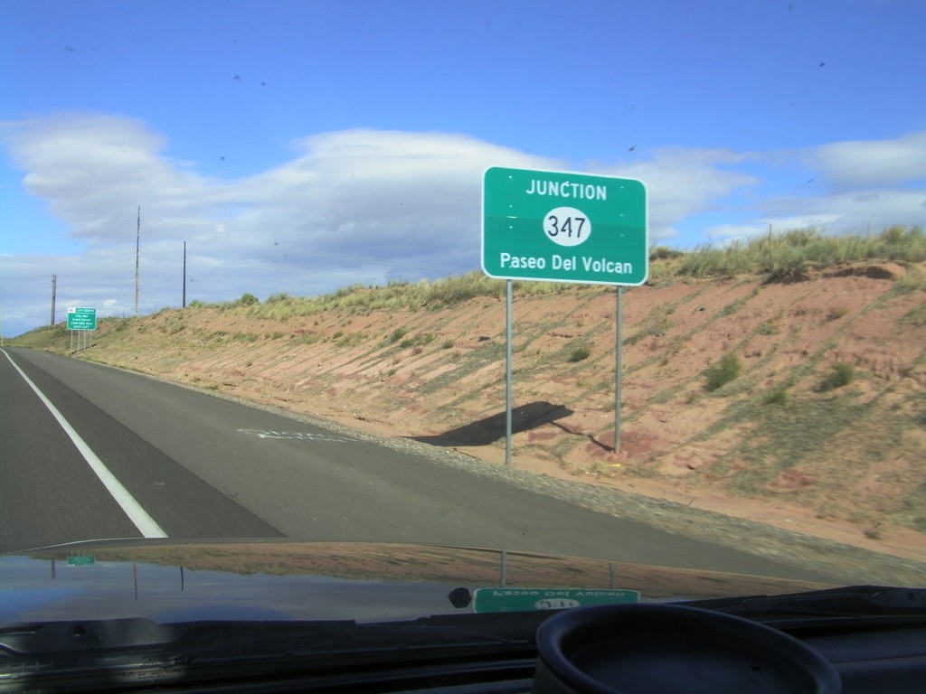
US-550 North Approaching NM-347
US-550 North approaching NM-347 - Paseo Del Volcan.
Taken 10-06-2011
 Rio Rancho
Sandoval County
New Mexico
United States
Rio Rancho
Sandoval County
New Mexico
United States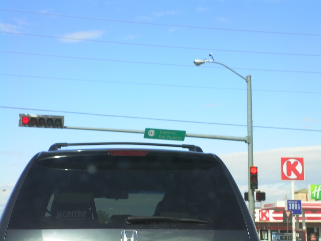
US-550 North at NM-313
US-550 north at NM-313 - Camino del Pueblo. This type of sign attached to traffic lights with a highway shield is common throughout New Mexico.
Taken 10-06-2011
 Bernalillo
Sandoval County
New Mexico
United States
Bernalillo
Sandoval County
New Mexico
United States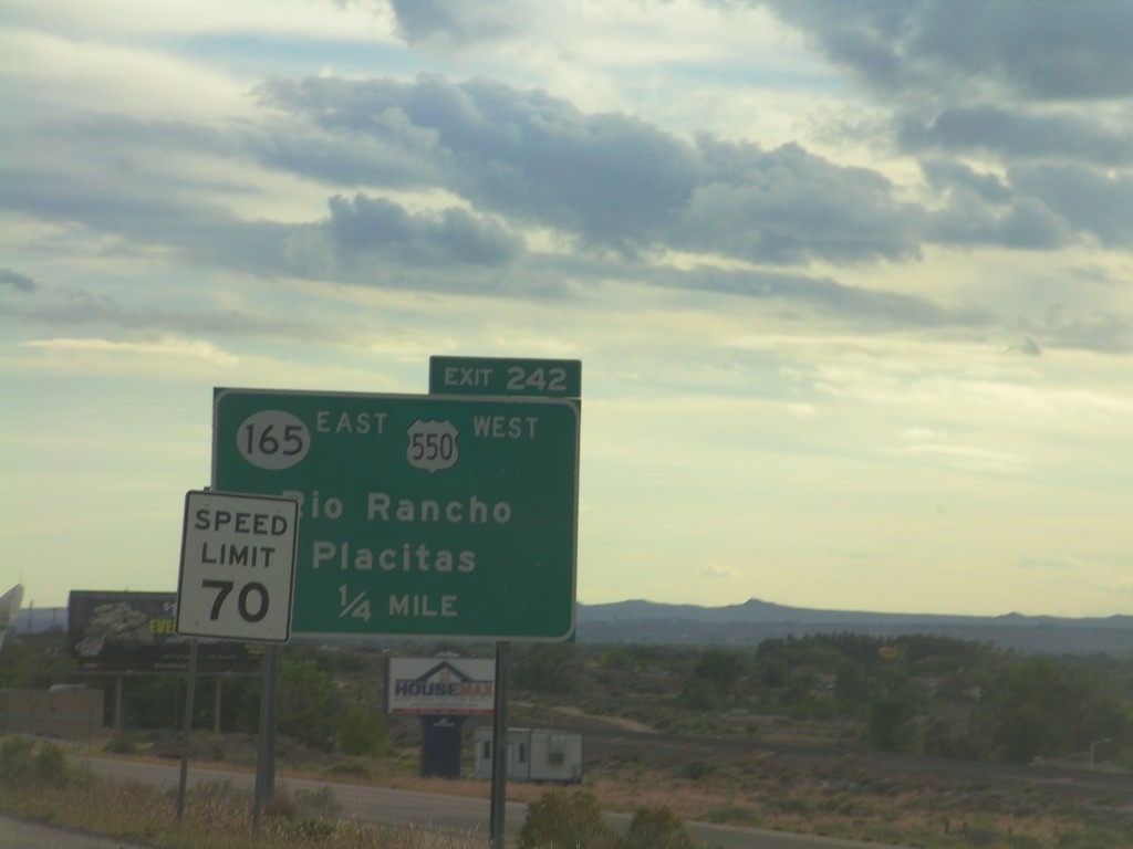
I-25 South - Exit 242
I-25 south approaching Exit 242 - US-550 West/NM-165 East/Rio Rancho/Placitas. This is the southern end of US-550. The speed limit drops from 75 miles per hour to 70 miles per hour as the highway enters the edge of the Albuquerque metropolitan area.
Taken 10-05-2011

 Bernalillo
Sandoval County
New Mexico
United States
Bernalillo
Sandoval County
New Mexico
United States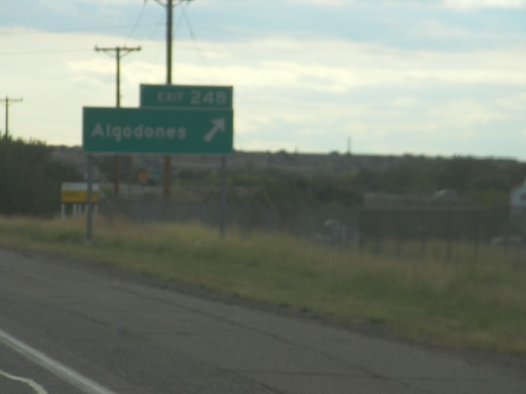
I-25 South - Exit 248
I-25 south at Exit 248 - Algodones.
Taken 10-05-2011
Algodones
Sandoval County
New Mexico
United States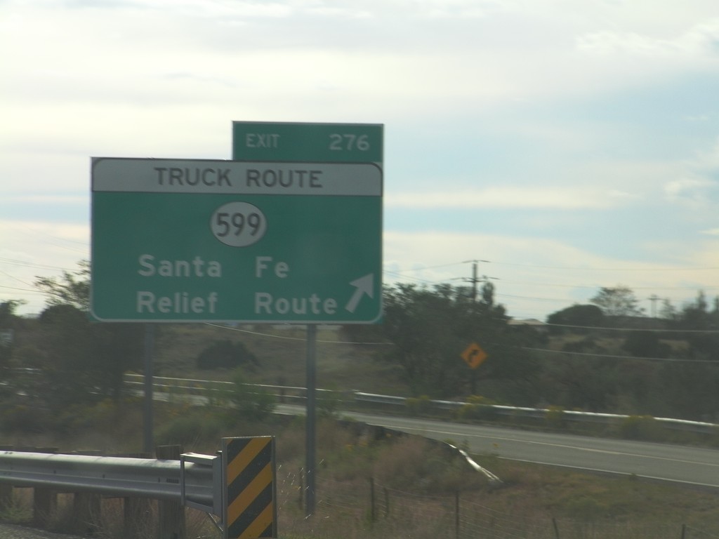
I-25 South - Exit 276
I-25 south at Exit 276 - NM-599/Santa Fe Relief Route. NM-599 is the truck route around the north side of Santa Fe.
Taken 10-05-2011
 La Cienega
Santa Fe County
New Mexico
United States
La Cienega
Santa Fe County
New Mexico
United States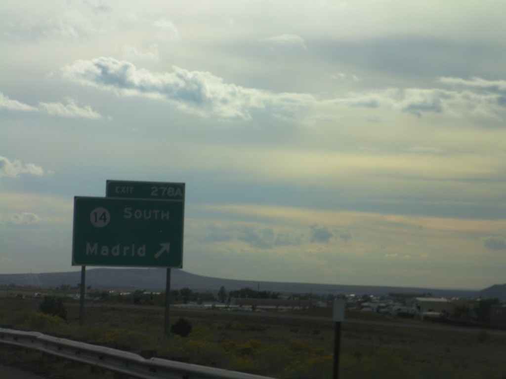
I-25 South - Exit 278A
I-25 south at Exit 278A - NM-14 South/Madrid.
Taken 10-05-2011
 Santa Fe
 County
New Mexico
United States
Santa Fe
Santa Fe County
New Mexico
United States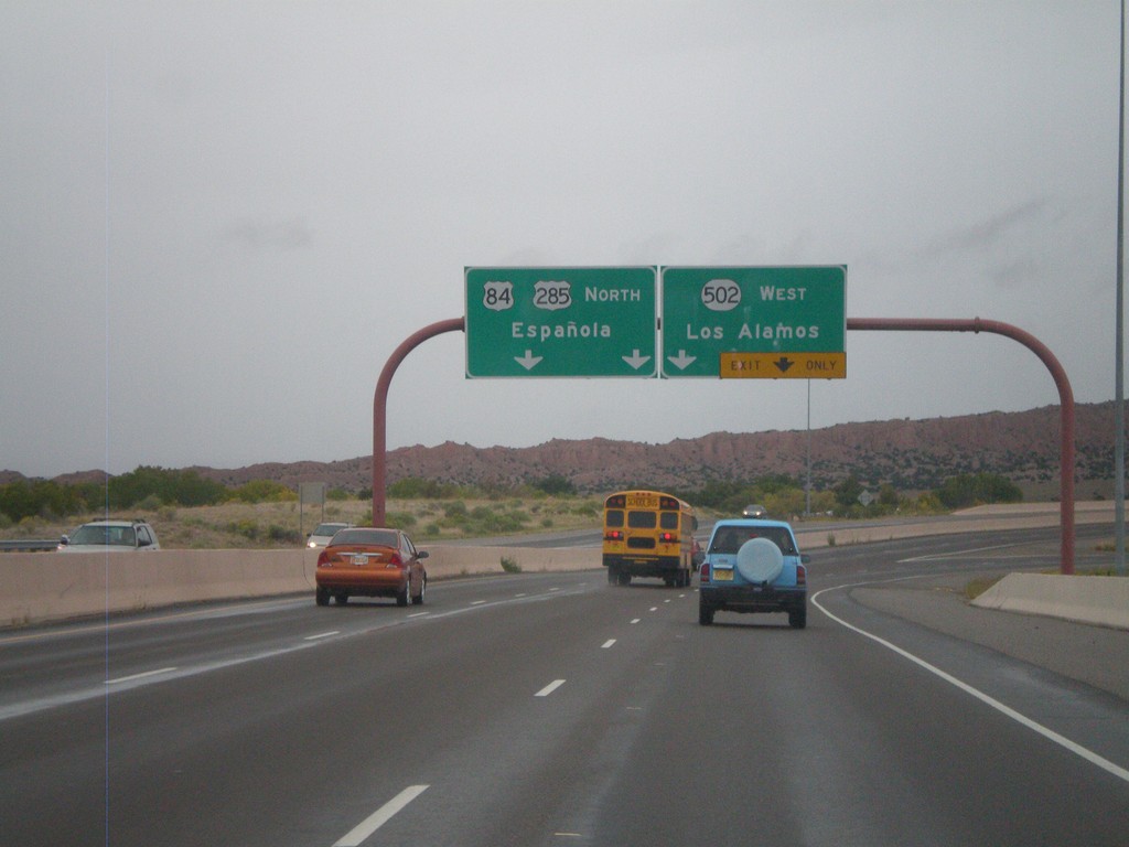
US-84/US-285 North - NM-502 Jct.
US-84/US-285 North - NM-502 West/Los Alamos exit. Continue north on US-84/US-285 North to Española.
Taken 10-04-2011


 Santa Fe
 County
New Mexico
United States
Santa Fe
Santa Fe County
New Mexico
United States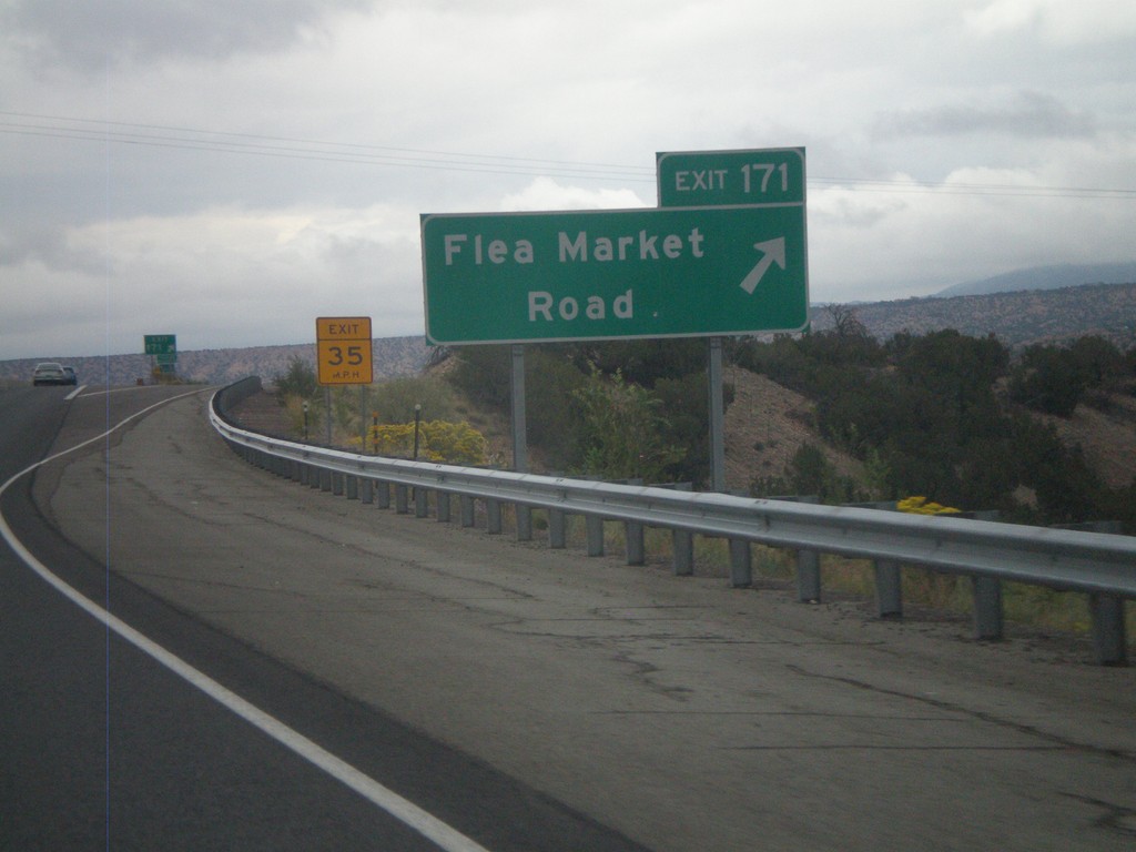
US-84/US-285 North - Exit 171
US-84/US-285 North at Exit 171 - Flea Market Road.
Taken 10-04-2011
Tesuque
Santa Fe County
New Mexico
United States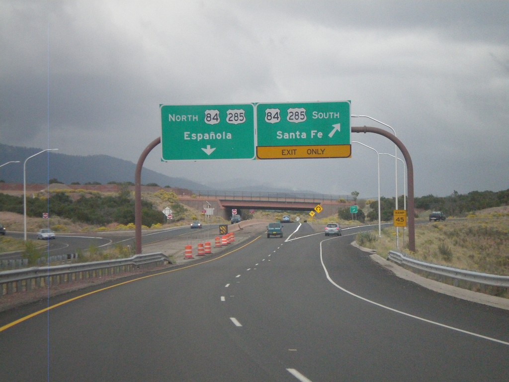
End NM-599 East at US-84/US-285
End NM-599 (Santa Fe Relief Route) east at US-84/US-285. Use US-84/US-285 north for Española. Use US-84/US-285 south for Santa Fe.
Taken 10-04-2011
Santa Fe
Santa Fe County
New Mexico
United States