Signs From New Mexico
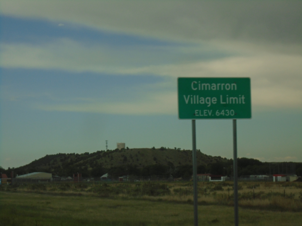
US-64 East - Cimarron
Cimarron Village Limit - Elevation 6430 Feet on US-64 east.
Taken 06-19-2026
 Cimarron
Colfax County
New Mexico
United States
Cimarron
Colfax County
New Mexico
United States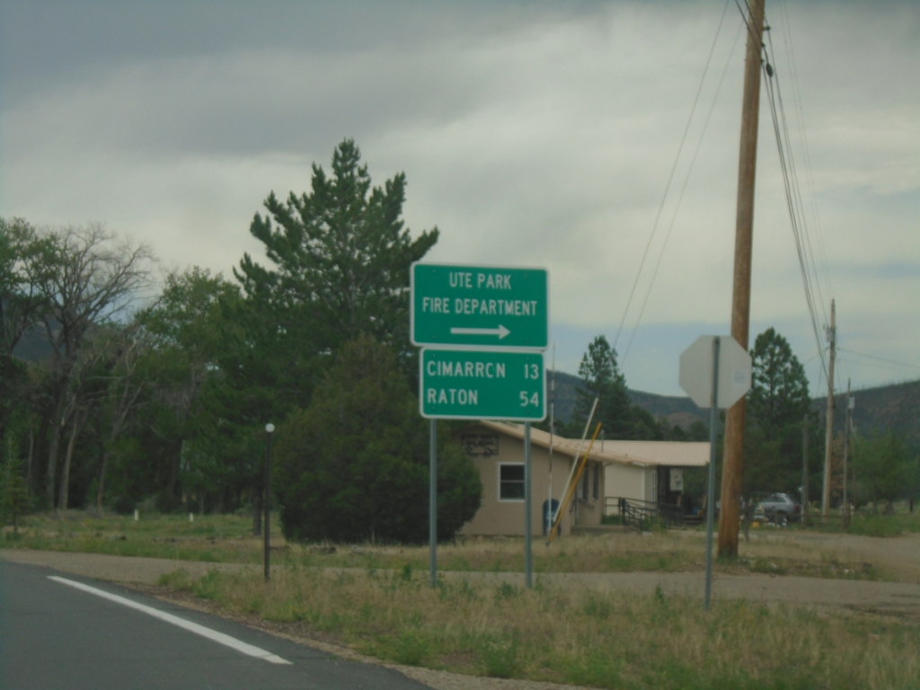
US-64 East - Ute Park
US-64 East at Ute Park Fire Department junction. Continue east on US-64 for Cimarron and Raton.
Taken 06-19-2026
Ute Park
Colfax County
New Mexico
United States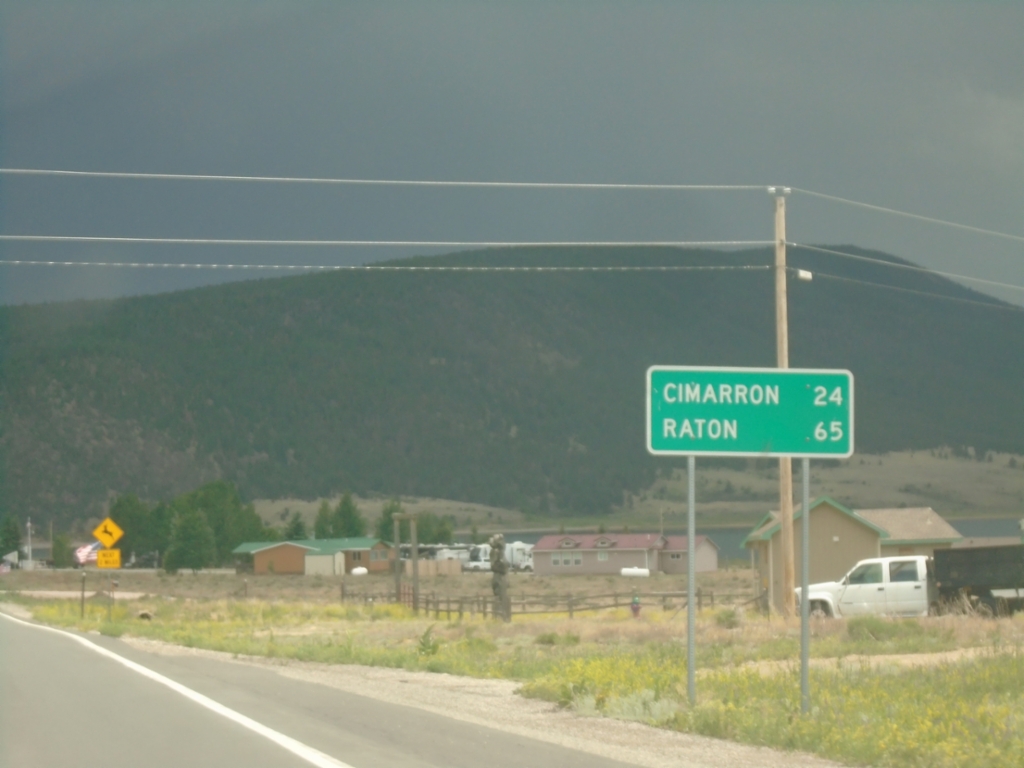
US-64 East - Distance Marker
Distance marker on US-64 east. Distance to Cimarron and Raton.
Taken 06-19-2026
Eagle Nest
Colfax County
New Mexico
United States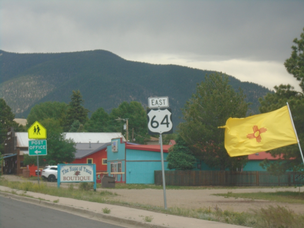
US-64 East - Eagle Nest
US-64 East in Eagle Nest.
Taken 06-19-2026
Eagle Nest
Colfax County
New Mexico
United States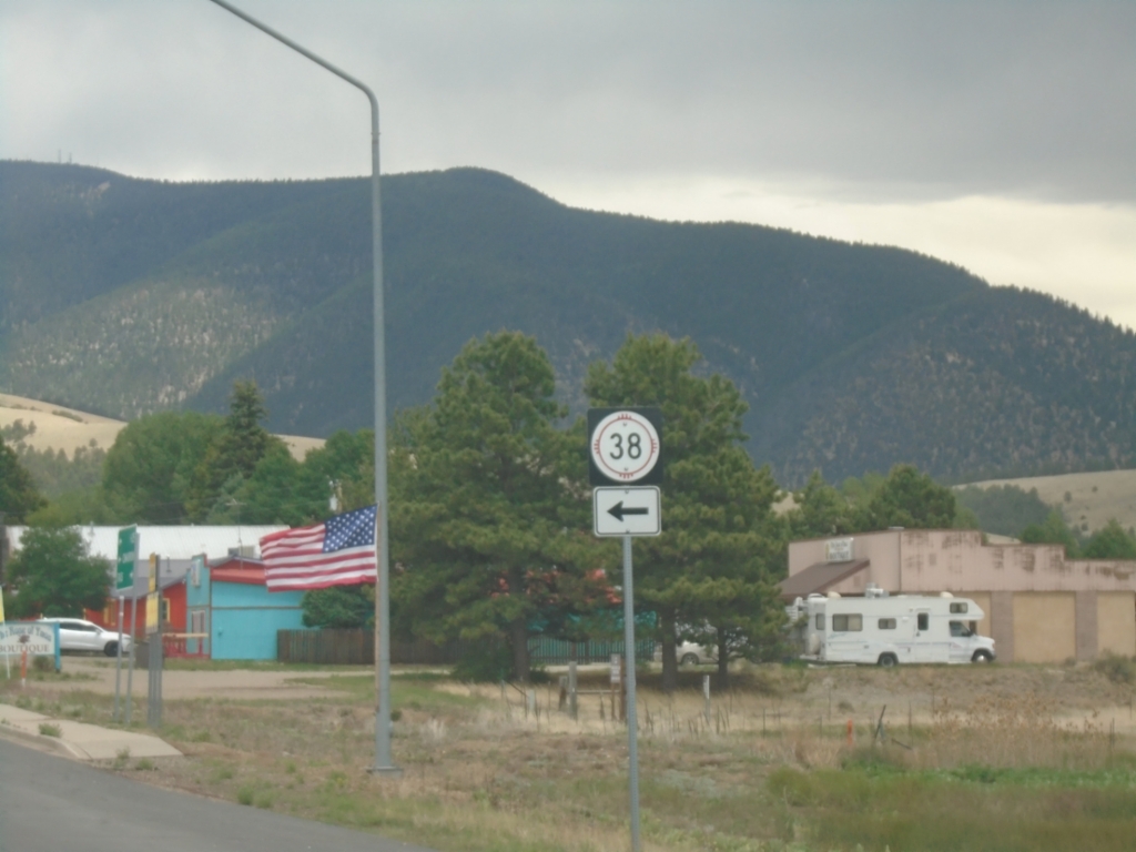
US-64 East at NM-38
US-64 East at NM-38 in Eagle Nest.
Taken 06-19-2026
 Eagle Nest
Colfax County
New Mexico
United States
Eagle Nest
Colfax County
New Mexico
United States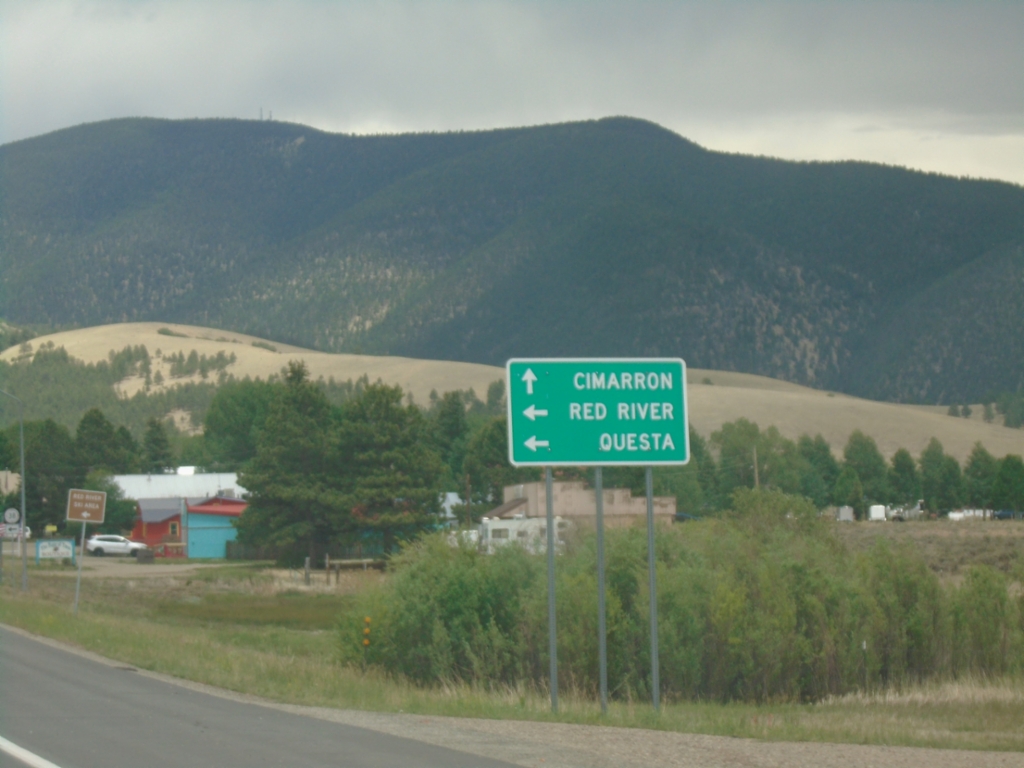
US-64 East at NM-38
US-64 East at NM-38 in Eagle Nest. Use NM-38 West to Red River and Questa. Use US-64 East to Cimarron.
Taken 06-19-2026
Eagle Nest
Colfax County
New Mexico
United States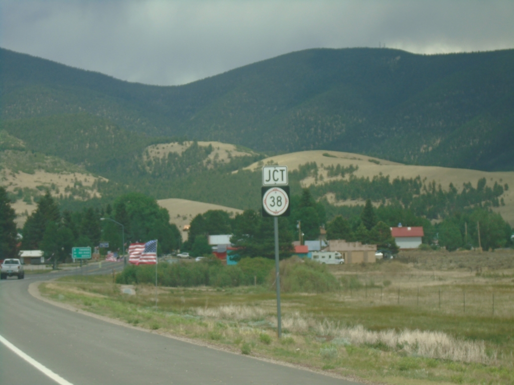
US-64 East Approaching NM-38
US-64 East approaching NM-38 in Eagle Nest.
Taken 06-19-2026
Eagle Nest
Colfax County
New Mexico
United States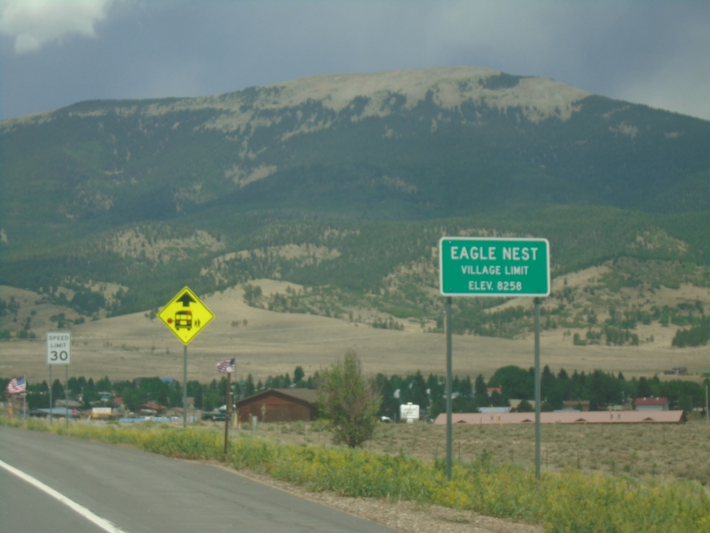
US-64 East - Eagle Nest
Eagle Nest Village Limit on US-64 East. Elevation 8258 Feet.
Taken 06-19-2026
Eagle Nest
Colfax County
New Mexico
United States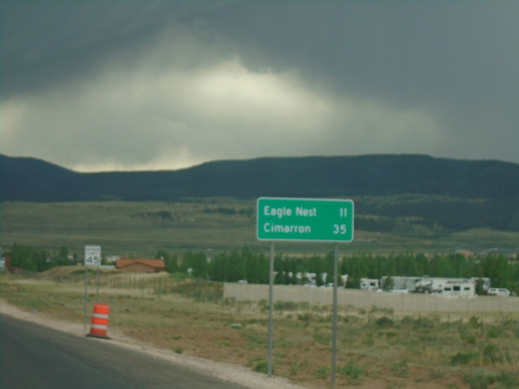
US-64 East - Distance Marker
Distance marker on US-64 east. Distance to Eagle Nest and Cimarron.
Taken 06-19-2026
Eagle Nest
Colfax County
New Mexico
United States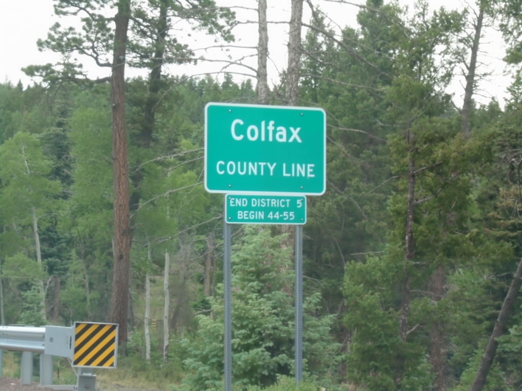
US-64 East - Colfax County Line
Colfax County Line on US-64 east at Palo Flechado Pass between Taos and Angel Fire.
Taken 06-19-2026
Colfax County
New Mexico
United States