Signs From New Mexico
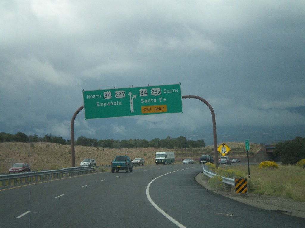
End NM-599 East at US-84/US-285
End NM-599 (Santa Fe Relief Route) east at US-84/US-285. Use US-84/US-285 north for Española; use US-84/US-285 south for Santa Fe.
Taken 10-04-2011


 Santa Fe
 County
New Mexico
United States
Santa Fe
Santa Fe County
New Mexico
United States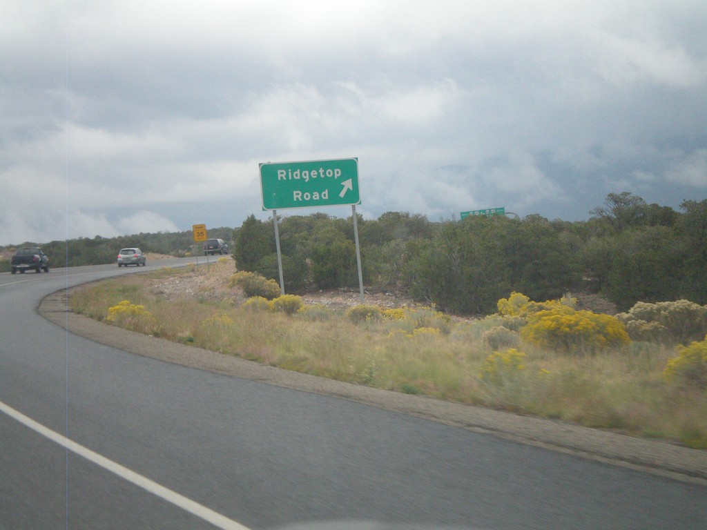
NM-599 East at Ridgetop Road
NM-599 East (Santa Fe Relief Route) at Ridgetop Road interchange.
Taken 10-04-2011
Santa Fe
Santa Fe County
New Mexico
United States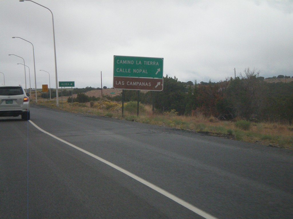
NM-599 East at Camino La Tierra
NM-599 east at Camino La Tierra/Calle Nopal interchange. Also use this exit for Las Campanas.
Taken 10-04-2011
Santa Fe
Santa Fe County
New Mexico
United States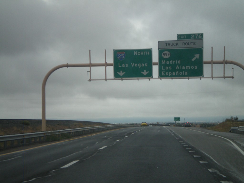
I-25 North - Exit 276
I-25 north at Exit 276 - NM-599/Madrid/Los Alamos/Española. NM-599 is the truck route around Santa Fe. I-25 continues north to Las Vegas.
Taken 10-04-2011
 Santa Fe
 County
New Mexico
United States
Santa Fe
Santa Fe County
New Mexico
United States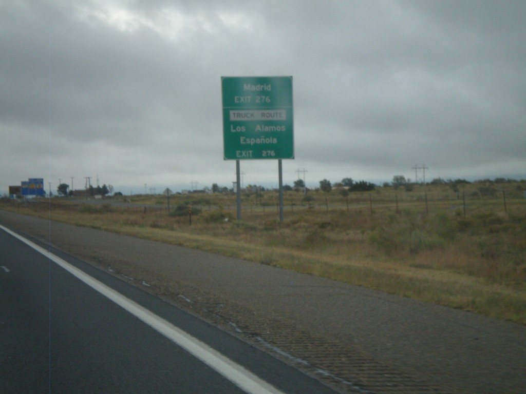
I-25 North Approaching Exit 276
I-25 north approaching Exit 276 (NM-599). Use Exit 276 for Los Alamos, Española, Madrid. NM-599 is the truck route around Santa Fe.
Taken 10-04-2011
Santa Fe
Santa Fe County
New Mexico
United States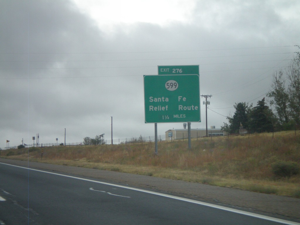
I-25 North - Exit 276
I-25 North at Exit 276 - NM-599/Santa Fe Relief Route. NM-599 is the truck route around Santa Fe.
Taken 10-04-2011
Santa Fe
Santa Fe County
New Mexico
United States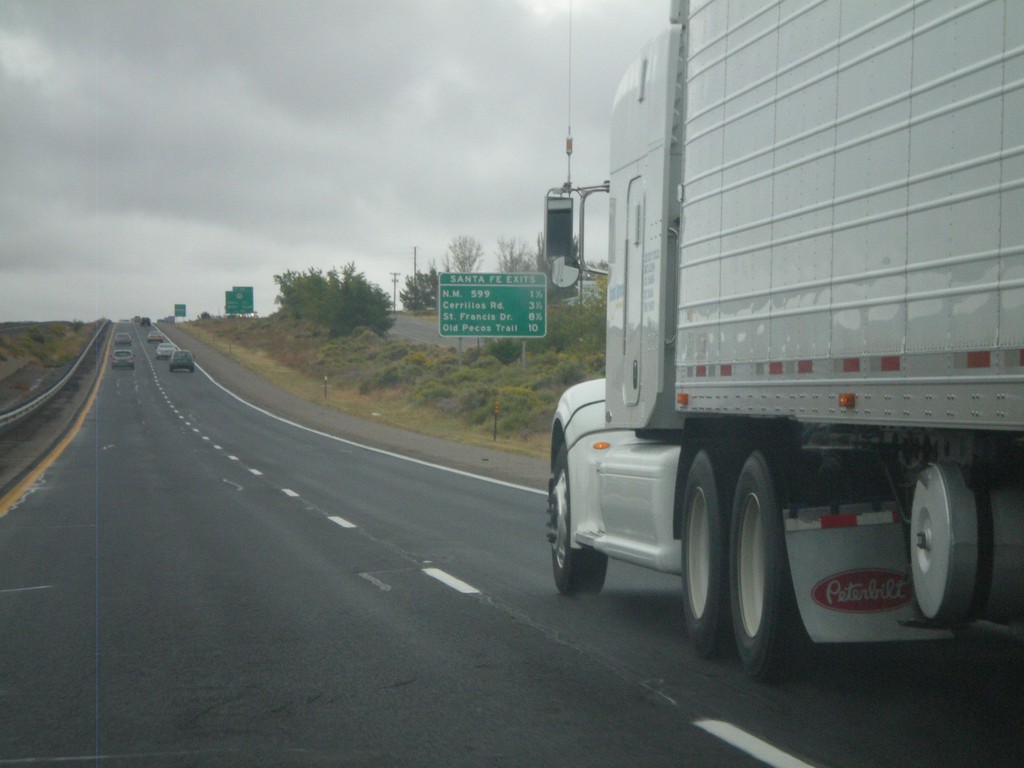
I-25 North - Santa Fe Exits
Santa Fe Exits on I-25 north - NM-599, Cerrillos Road, St Francis Drive, and Old Pecos Trail.
Taken 10-04-2011
Santa Fe
Santa Fe County
New Mexico
United States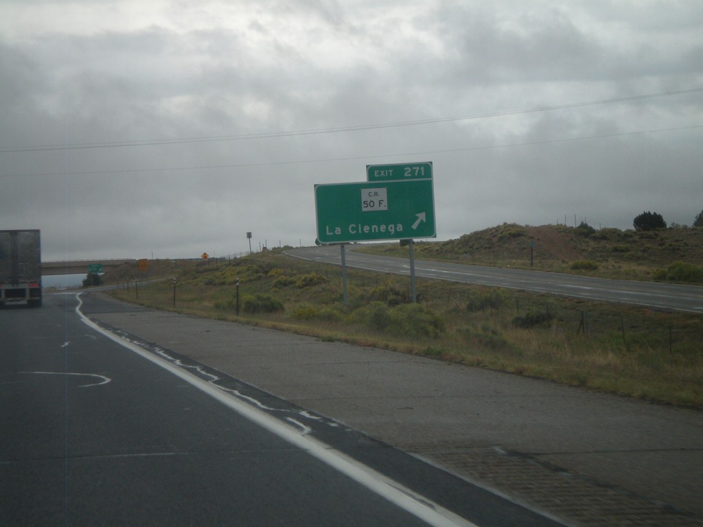
I-25 North - Exit 271
I-25 north at Exit 271 - CR-50F/La Cienega.
Taken 10-04-2011
Santa Fe
Santa Fe County
New Mexico
United States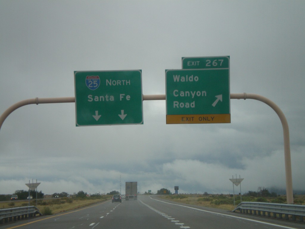
I-25 North - Exit 267
I-25 north at Exit 267 - Waldo Canyon Road. I-25 continues north towards Santa Fe.
Taken 10-04-2011
Los Cerrillos
Santa Fe County
New Mexico
United States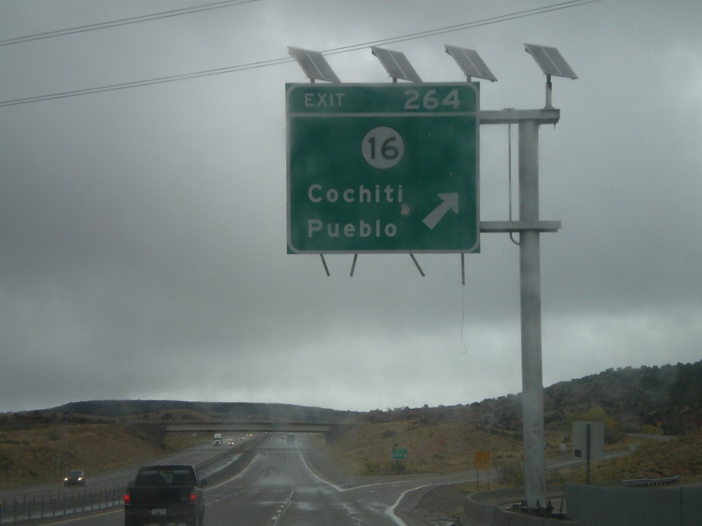
I-25 North - Exit 264
I-25 north at Exit 264 - NM-16/Cochiti Pueblo.
Taken 10-04-2011
 Kewa Pueblo
Santa Fe County
New Mexico
United States
Kewa Pueblo
Santa Fe County
New Mexico
United States