Signs From New Mexico
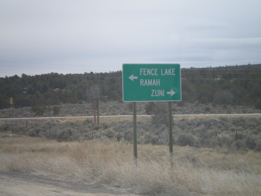
End NM-602 South At NM-53
End NM-602 South at NM-53. Use NM-53 west for Zuni; use NM-53 east for Ramah and Fence Lake.
Taken 02-24-2011

 Zuni
McKinley County
New Mexico
United States
Zuni
McKinley County
New Mexico
United States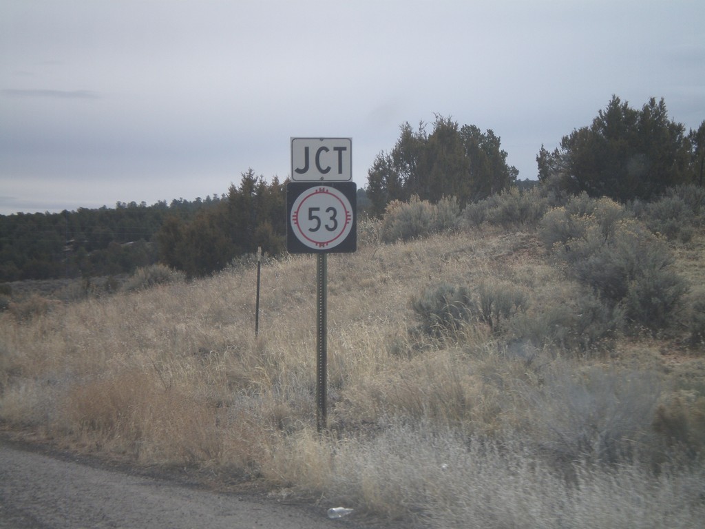
NM-602 South Approaching NM-53
NM-602 south approaching NM-53.
Taken 02-24-2011
Zuni
McKinley County
New Mexico
United States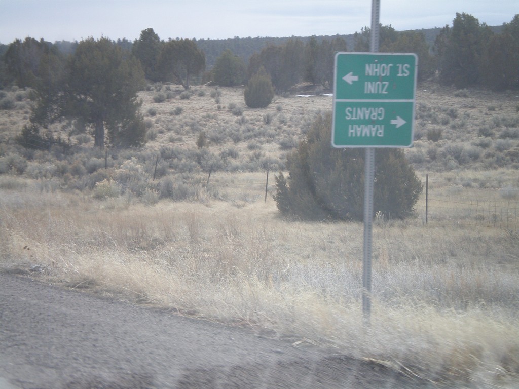
NM-602 South at Zuni-4
NM-602 south at Zuni-4 south. At the time of this photograph, Zuni-4 was closed for bridge repair, so the guide sign was turned upside town. During normal times, use Zuni-4 south for Zuni and St. John. Continue south on NM-602 for Ramah and Grants.
Taken 02-24-2011
 Zuni
McKinley County
New Mexico
United States
Zuni
McKinley County
New Mexico
United States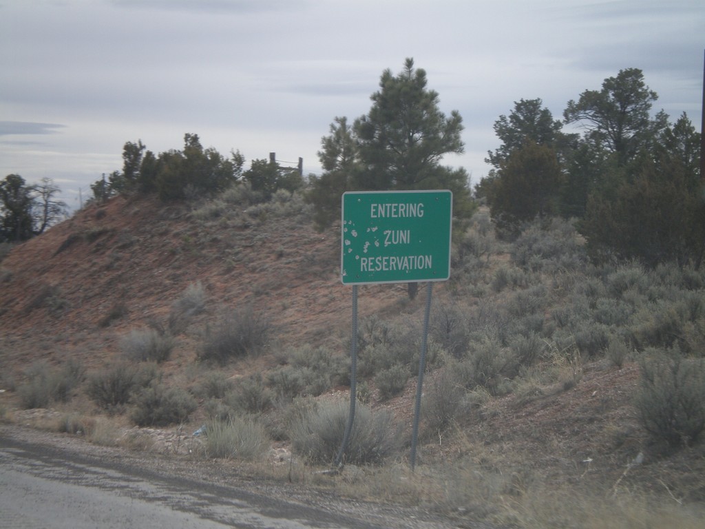
NM-602 South - Entering Zuni Reservation
Entering Zuni Reservation on NM-602 south.
Taken 02-24-2011
Vanderwagen
McKinley County
New Mexico
United States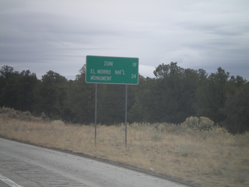
NM-602 South - Distance Marker
Distance marker on NM-602 south to Zuni, and El Morro National Monument.
Taken 02-24-2011
Vanderwagen
McKinley County
New Mexico
United States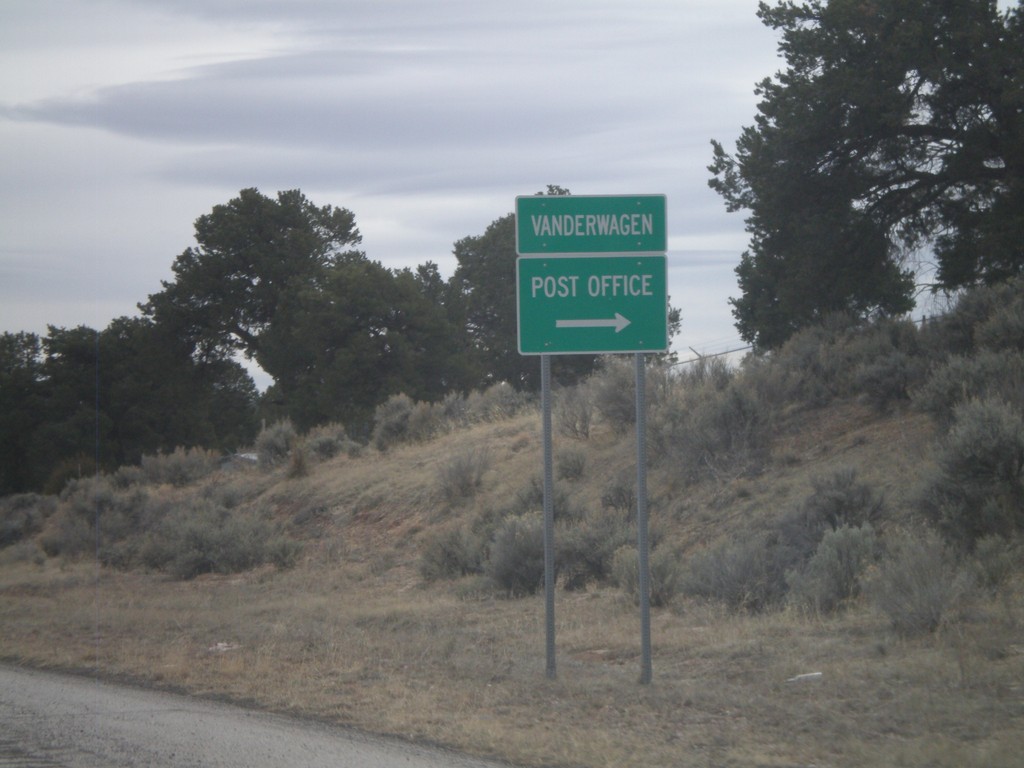
NM-602 South - Vanderwagen
NM-602 south at the small settlement of Vanderwagen. Turn right for the Post Office.
Taken 02-24-2011
Vanderwagen
McKinley County
New Mexico
United States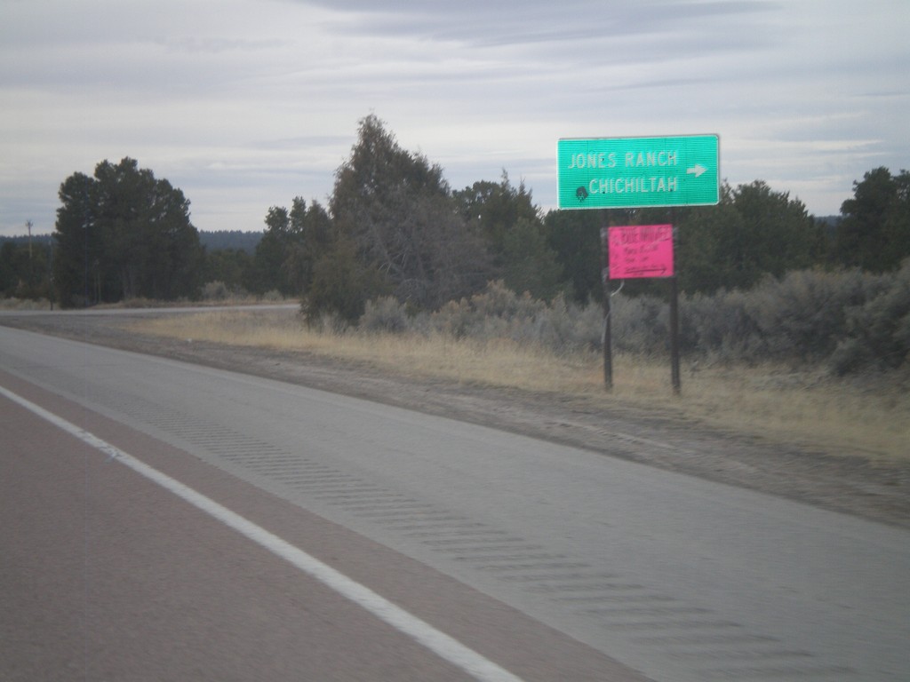
NM-602 South at Jones Ranch Road
NM-602 south at Jones Ranch Road jct. to Jones Ranch and Chichiltah.
Taken 02-24-2011
Vanderwagen
McKinley County
New Mexico
United States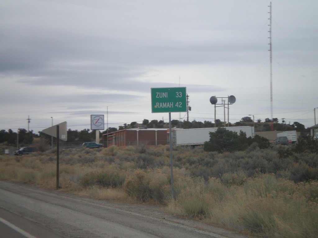
NM-602 South - Distance Marker
Distance marker on NM-602 south to Zuni, and Ramah.
Taken 02-24-2011
Gallup
McKinley County
New Mexico
United States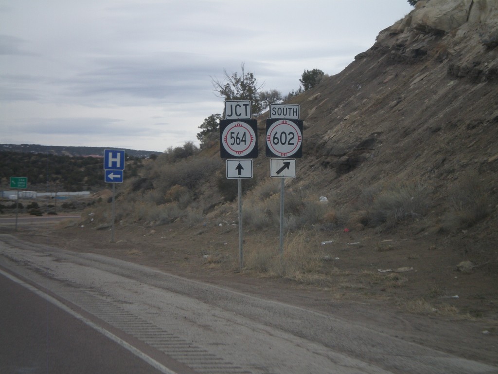
NM-602 South Approaching NM-564
NM-602 south approaching NM-564. Turn right to continue south on NM-602. NM-564 is the eastern belt route around Gallup.
Taken 02-24-2011
 Gallup
McKinley County
New Mexico
United States
Gallup
McKinley County
New Mexico
United States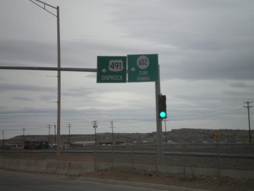
NM-118 West at NM-602/US-491
NM-118 west at Arnold St., to NM-602/Zuni/Ramah and US-491/Shiprock.
Taken 02-24-2011


 Gallup
McKinley County
New Mexico
United States
Gallup
McKinley County
New Mexico
United States