Signs From New Mexico
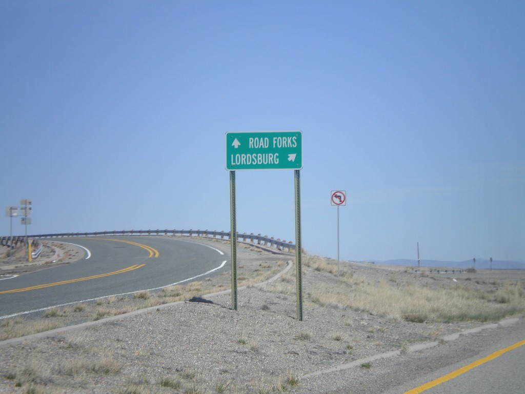
NM-338 North at I-10 Onramp
NM-338 north at I-10. Use I-10 west for Road Forks. Use I-10 east for Lordsburg.
Taken 03-21-2010
Animas Hidalgo County New Mexico United States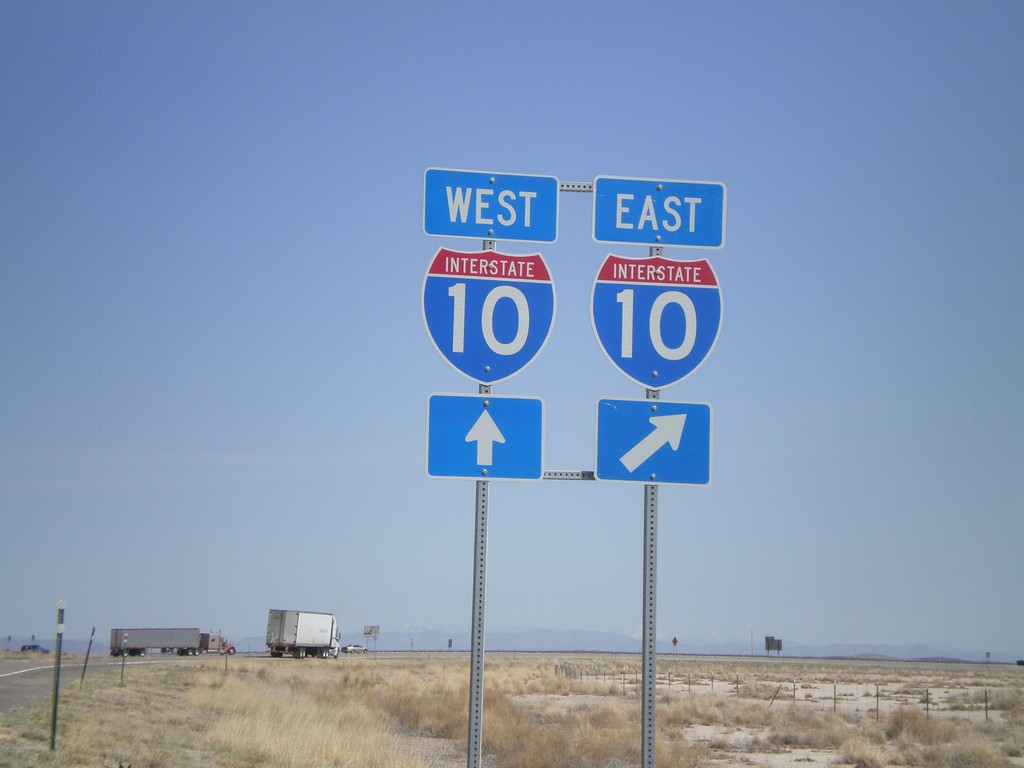
NM-338 North at I-10
NM-338 north at I-10. NM-338 north ends here.
Taken 03-21-2010

 Roadforks
Hidalgo County
New Mexico
United States
Roadforks
Hidalgo County
New Mexico
United States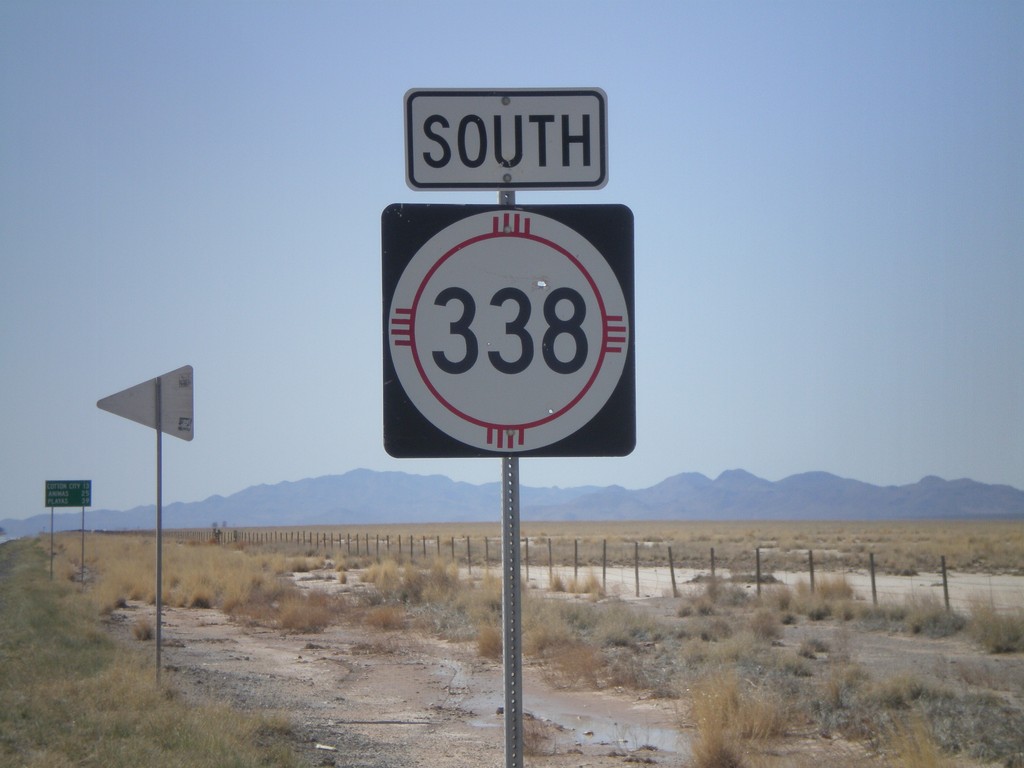
NM-338 South
NM-338 south. In the background there is a distance marker to Cotton City, Animas, and Playas.
Taken 03-21-2010
Animas
Hidalgo County
New Mexico
United States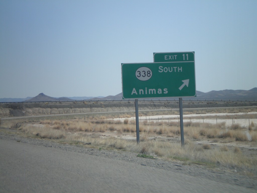
I-10 East - Exit 11
I-10 east at Exit 11 - NM-338 South/Animas.
Taken 03-21-2010
Animas
Hidalgo County
New Mexico
United States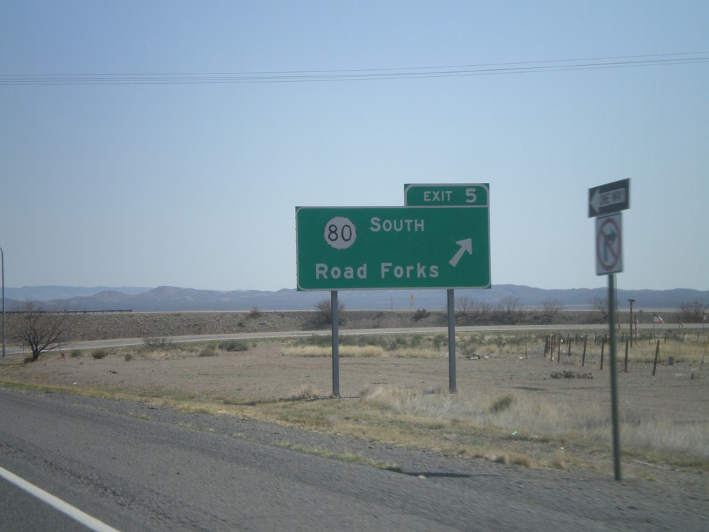
I-10 East - Exit 5
I-10 east at Exit 5 - NM-80 South/Road Forks.
Taken 03-21-2010
Animas
Hidalgo County
New Mexico
United States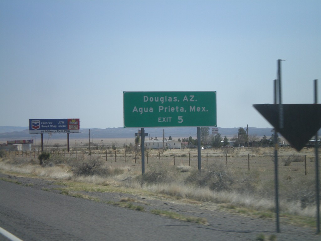
I-10 East Approaching Exit 5
I-10 east approaching Exit 5. Use NM-80 south for Douglas, AZ and Agua Prieta, Mexico.
Taken 03-21-2010
 Animas
Hidalgo County
New Mexico
United States
Animas
Hidalgo County
New Mexico
United States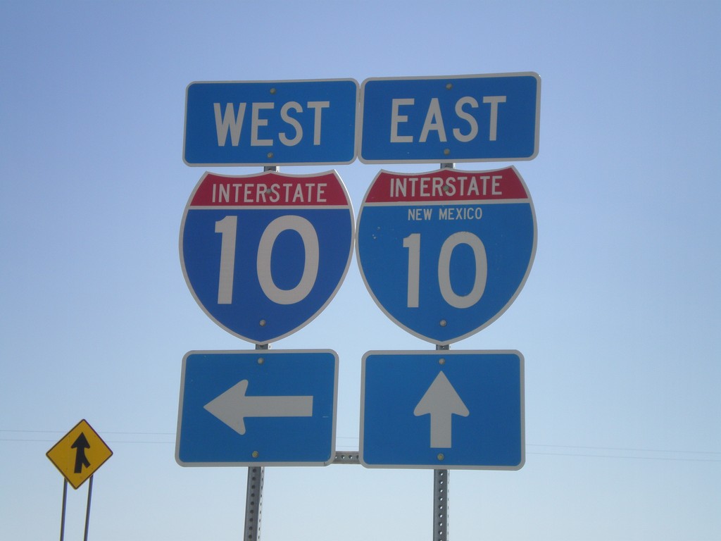
I-10 Onramp at Exit 3
I-10 onramp at Exit 3. One of the I-10 shields as the state name in it.
Taken 03-21-2010
Steins
Hidalgo County
New Mexico
United States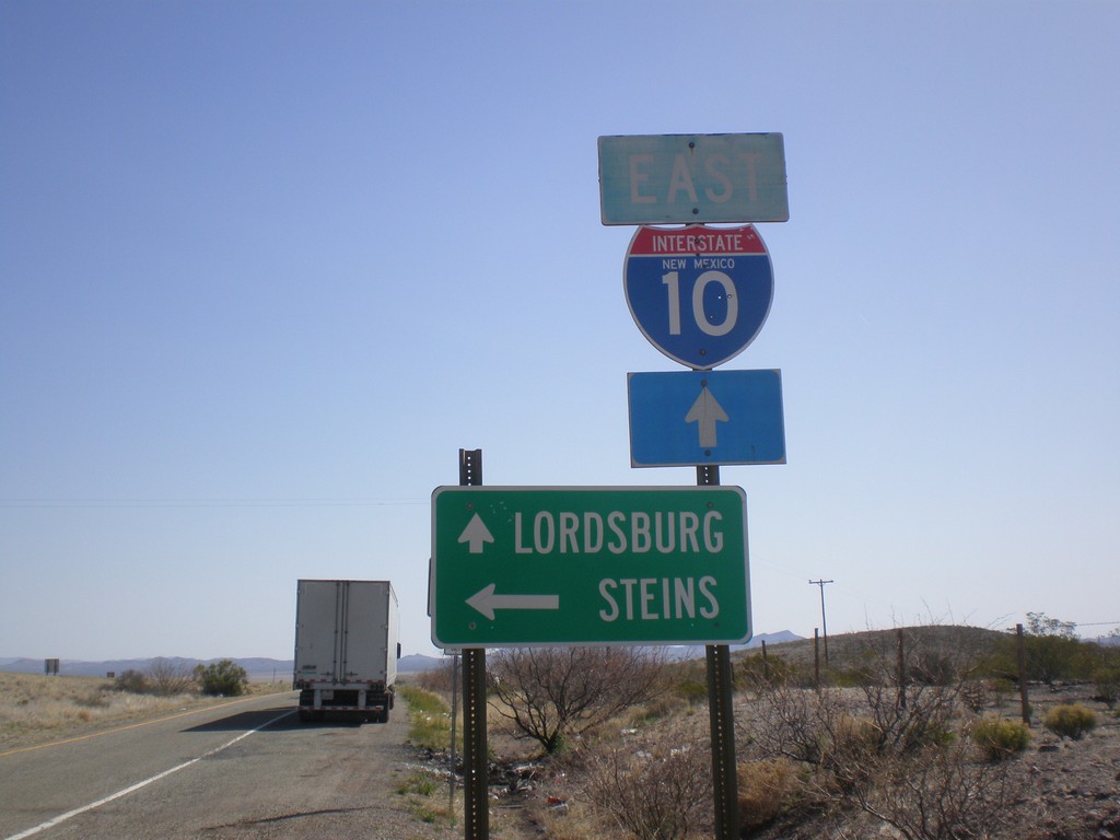
I-10 East at Exit 3 Offramp
I-10 east at Exit 3 offramp. Turn left for Steins. Continue ahead for I-10 east to Lordsburg.
Taken 03-21-2010
Road Forks
Hidalgo County
New Mexico
United States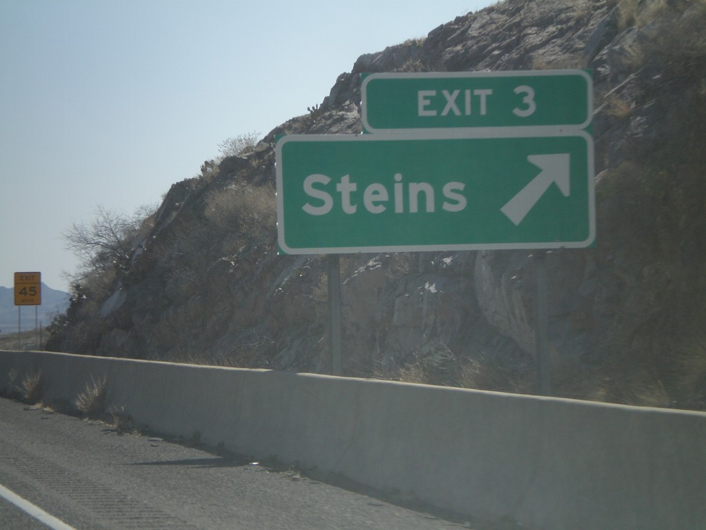
I-10 East - Exit 3
I-10 east at Exit 3 - Steins. This is the first exit in New Mexico along I-10.
Taken 03-21-2010
Steins
Hidalgo County
New Mexico
United States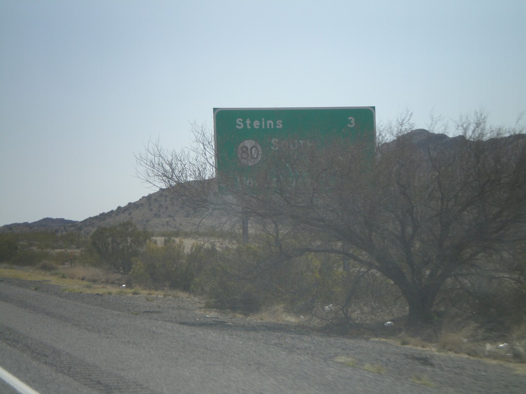
I-10 East - Distance Marker
Distance marker on I-10 east. Distance to Steins, NM-80, and Lordsburg. This is the first distance marker along I-10 in New Mexico.
Taken 03-21-2010
Steins
Hidalgo County
New Mexico
United States