Signs From Oregon
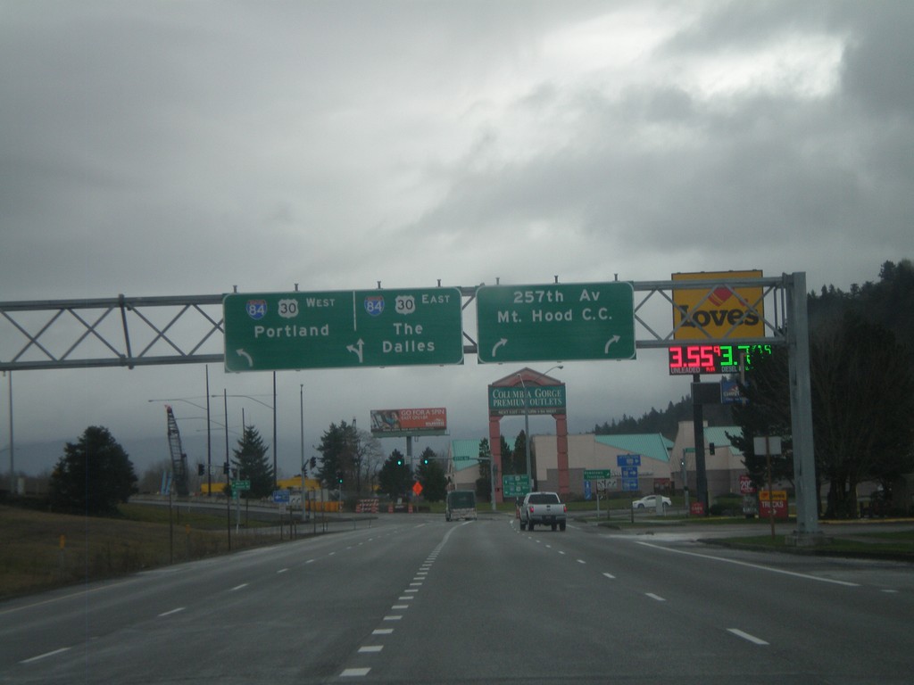
I-84 Frontage Road at 257th Ave. and I-84
I-84 Frontage Road East at 257th Ave. and I-84. Turn right for 257th Ave. and Mount Hood Community College. Continue straight for I-84/US-30 east onramp to The Dalles. Turn left for I-84/US-30 west to Portland.
Taken 02-18-2012

 Troutdale
Multnomah County
Oregon
United States
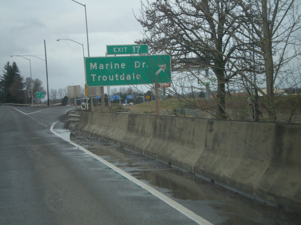
I-84 West - Exit 17
I-84 west at Exit 17 - Marine Drive/Troutdale. This is the first exit westbound in the Portland Metropolitan Area. Directly east of here is the Columbia River Gorge National Scenic Area.
Taken 02-18-2012

 Troutdale
Multnomah County
Oregon
United States
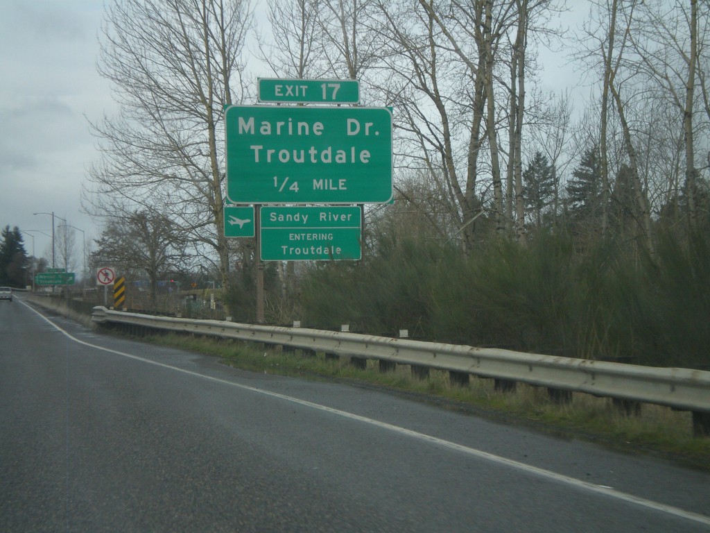
I-84 West - Exit 17
I-84 west approaching Exit 17 - Marine Drive/Troutdale. Entering Troutdale and crossing the Sandy River. The Sandy River is the boundary of the Columbia River Gorge National Scenic Area.
Taken 02-18-2012

 Troutdale
Multnomah County
Oregon
United States
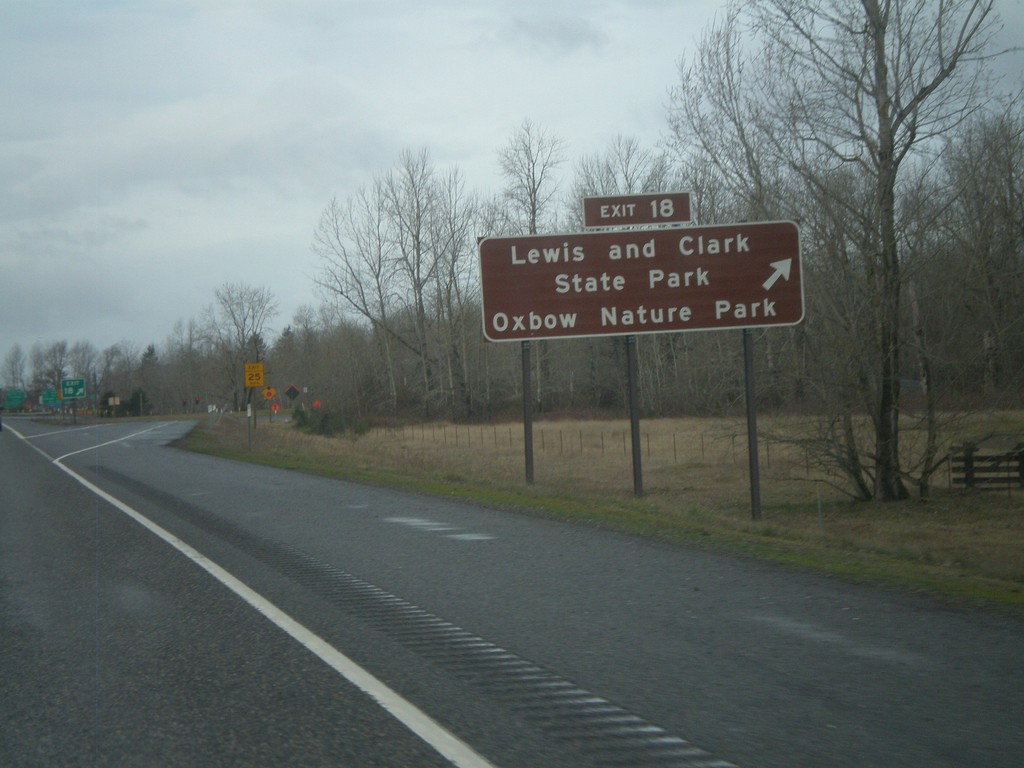
I-84 West - Exit 18
I-84 west at Exit 18 - Lewis and Clark State Park/Oxbow Nature Park.
Taken 02-18-2012

 Troutdale
Multnomah County
Oregon
United States
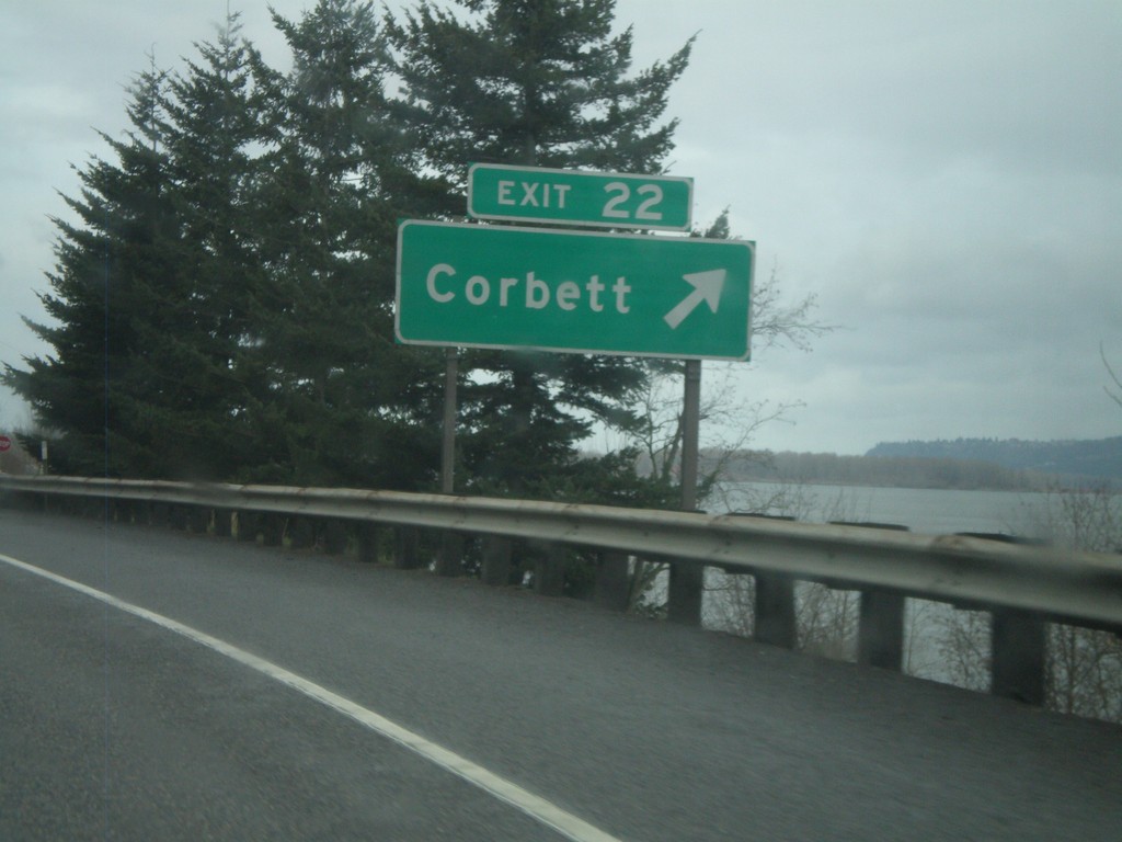
I-84 West - Exit 22
I-84 west at Exit 22 - Corbett. The Columbia River is in the background of the photograph.
Taken 02-18-2012

 Corbett
Multnomah County
Oregon
United States
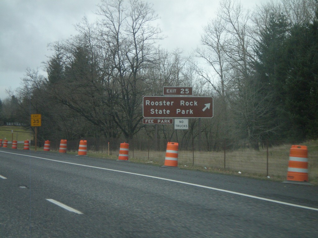
I-84 West - Exit 25
I-84 west at Exit 25 - Rooster Rock State Park
Taken 02-18-2012

 Corbett
Multnomah County
Oregon
United States
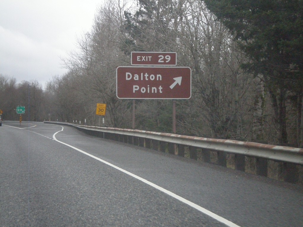
I-84 West - Exit 29
I-84 west at Exit 29 - Dalton Point. Access to Dalton Point State Recreation Park, located on the Columbia River.
Taken 02-18-2012

 Bridal Veil
Multnomah County
Oregon
United States
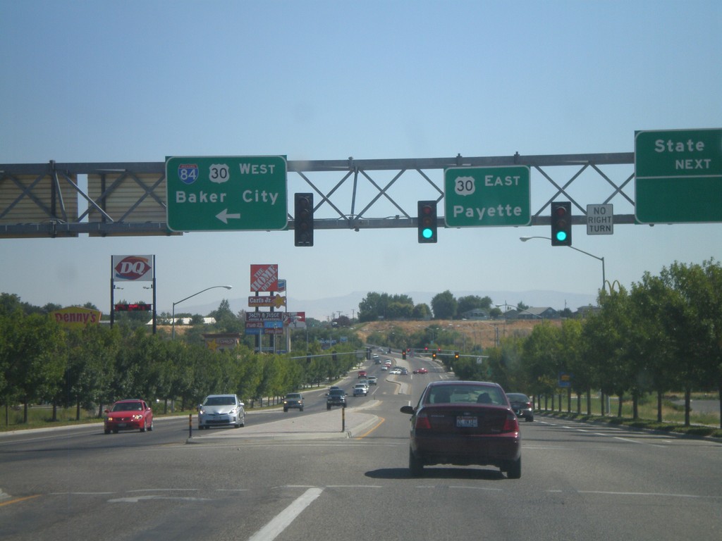
End Bus. US-30 At I-84/US-30
End Business US-30 at I-84 and US-30. Turn left for I-84/US-30 West to Baker City. Continue ahead for US-30 east to Payette (Idaho). The bluff in the background of the picture is in Idaho.
Taken 09-04-2011


 Ontario
Malheur County
Oregon
United States
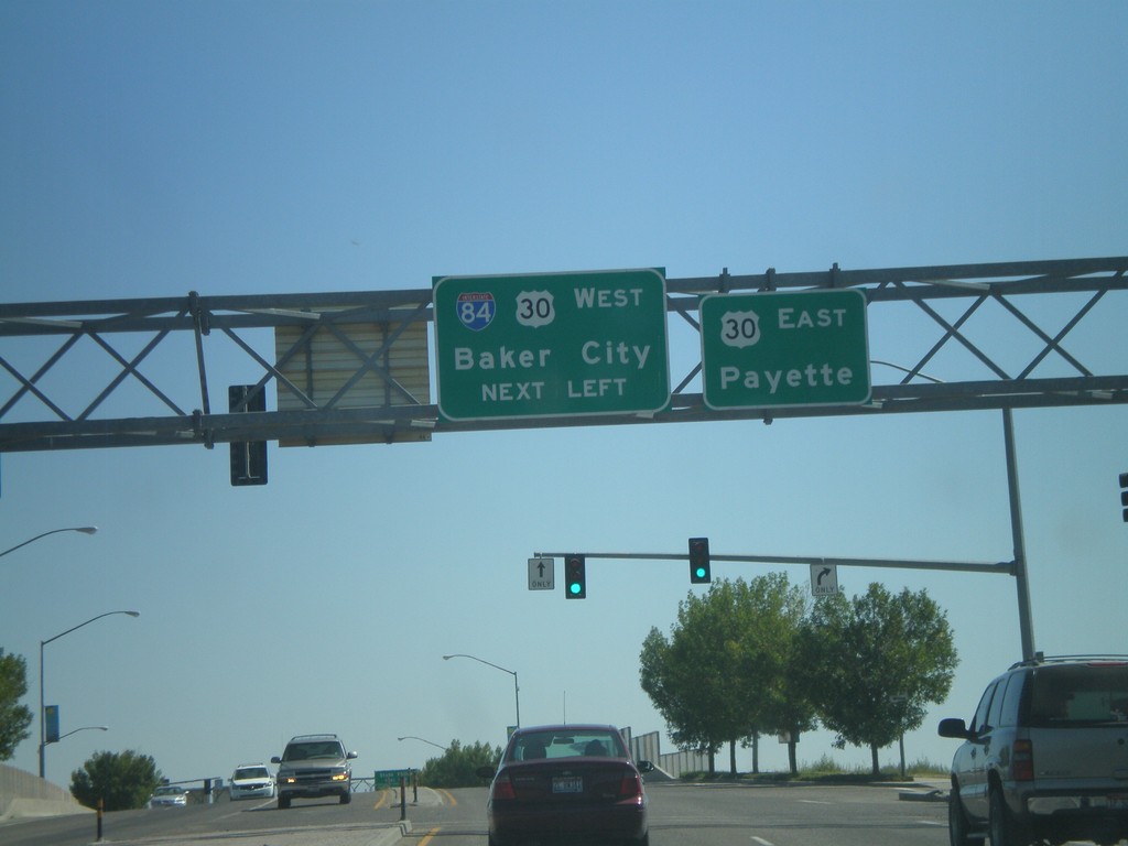
End Business US-30 at I-84 and US-30
End Business US-30 East at I-84 and US-30. Turn left for I-84/US-30 West for Baker City. Continue ahead for US-30 East to Payette (Idaho).
Taken 09-04-2011


 Ontario
Malheur County
Oregon
United States
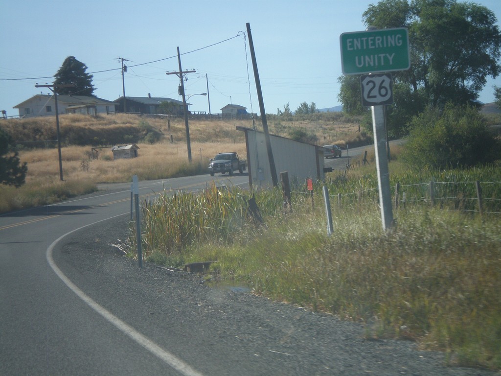
US-26 East - Entering Unity
Entering Unity Oregon on US-26 east.
Taken 09-04-2011
 Unity
Baker County
Oregon
United States