Signs From Oregon
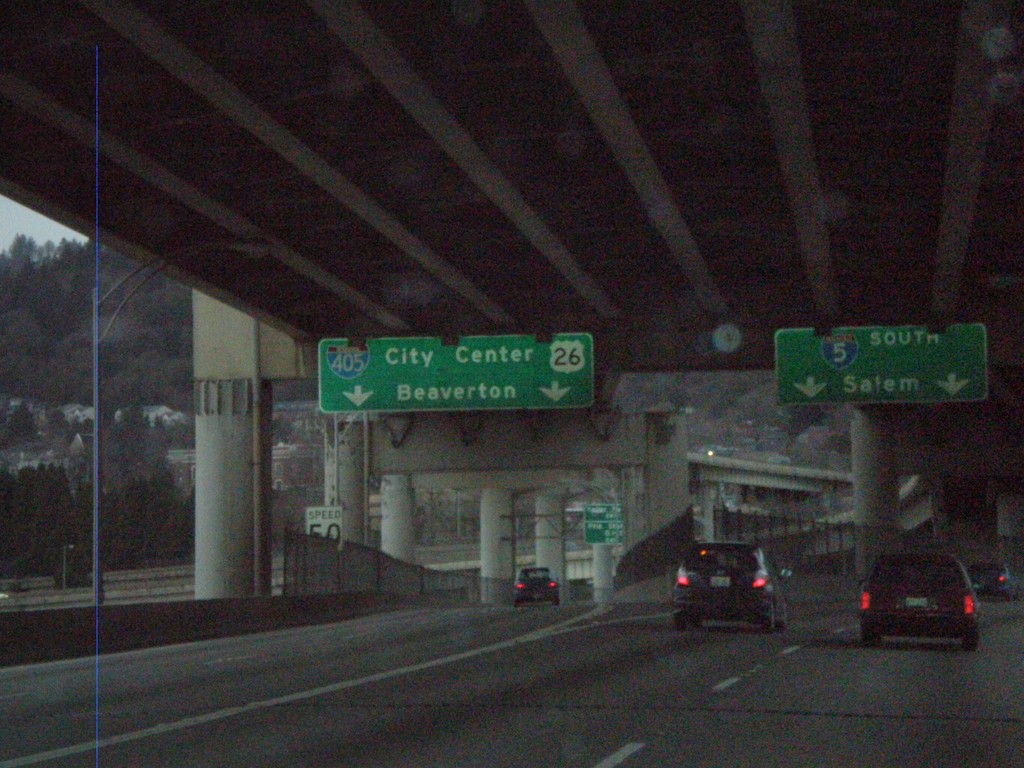
I-5 South at I-405/US-26
I-5 south at I-405/US-26 to City Center and Beaverton. Taken on the western approach to the Marquam Bridge over the Willamette River. I-5 continues south to Salem.
Taken 01-15-2010


 Portland
Multnomah County
Oregon
United States
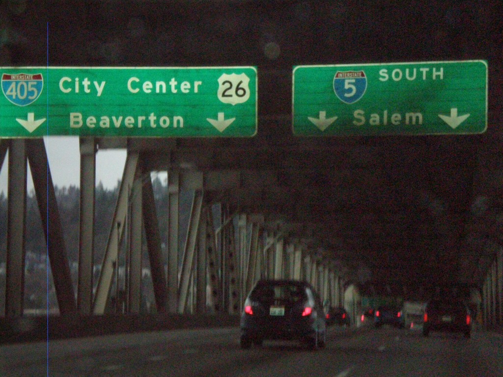
I-5 South Approaching I-405
I-5 south approaching I-405/US-26 to City Center and Beaverton. Taken on the Marquam Bridge over the Willamette River. I-5 continues south to Salem.
Taken 01-15-2010


 Portland
Multnomah County
Oregon
United States
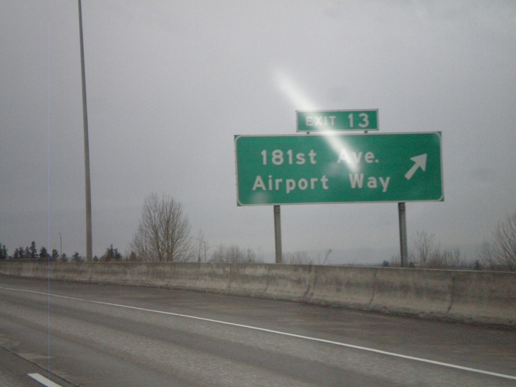
I-84 West - Exit 13
I-84 west at Exit 13 - 181st Ave./Airport Way.
Taken 01-15-2010

 Portland
Multnomah County
Oregon
United States
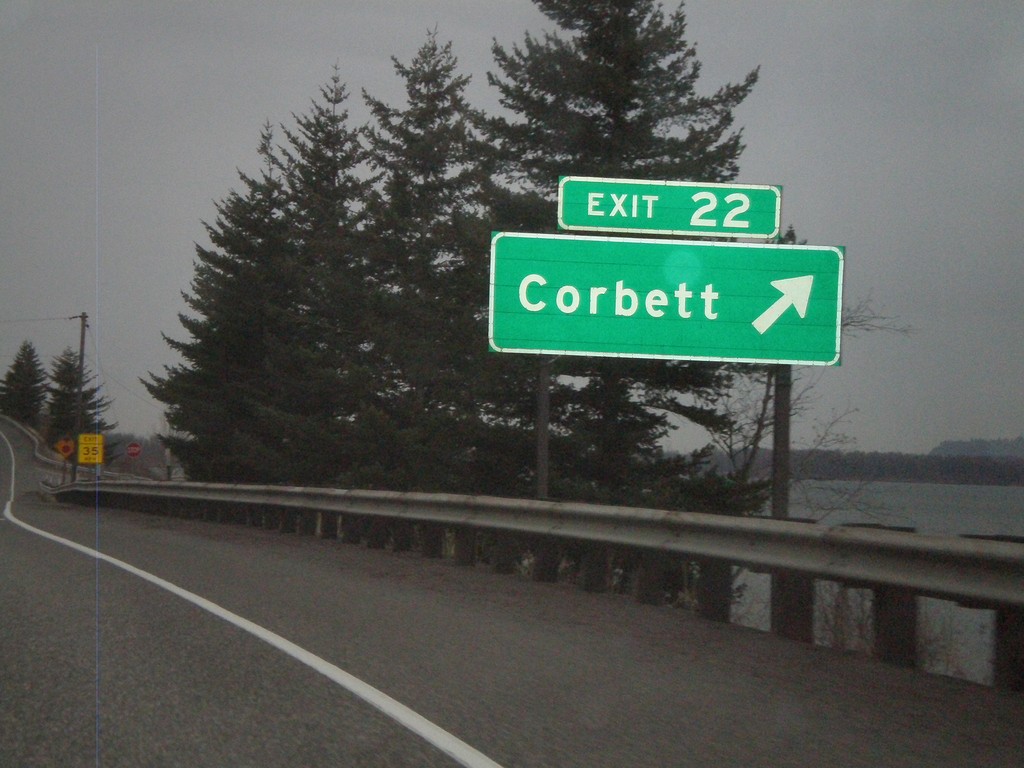
I-84 West - Exit 22
I-84 west at Exit 22 - Corbett
Taken 01-15-2010

 Corbett
Multnomah County
Oregon
United States
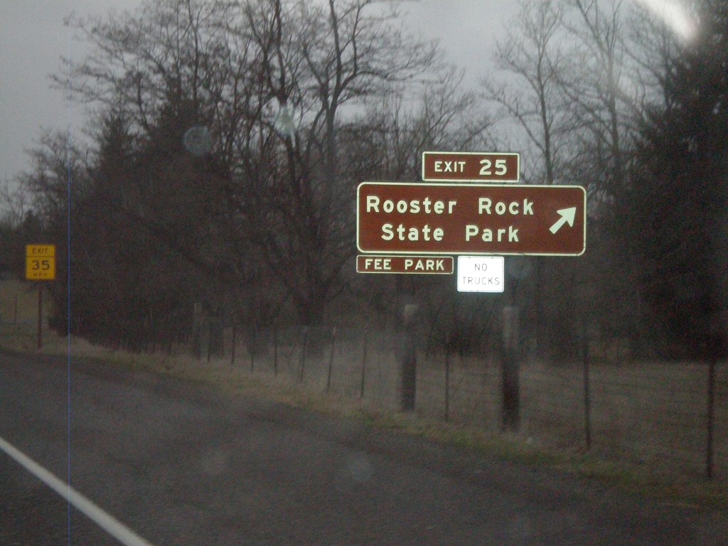
I-84 West - Exit 25
I-84 west at Exit 25 - Rooster Rock State Park
Taken 01-15-2010

 Corbett
Multnomah County
Oregon
United States
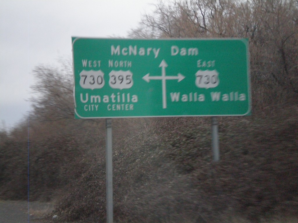
Route Diagram at US-395 North/US-730 Junction
Route diagram at US-395 north/US-730 junction. US-730 heads east to Walla Walla. US-395 North joins US-730 West into Umatilla. Continue straight for McNary Dam on the Columbia River.
Taken 01-14-2010

 Umatilla
 County
Oregon
United States
Umatilla
Umatilla County
Oregon
United States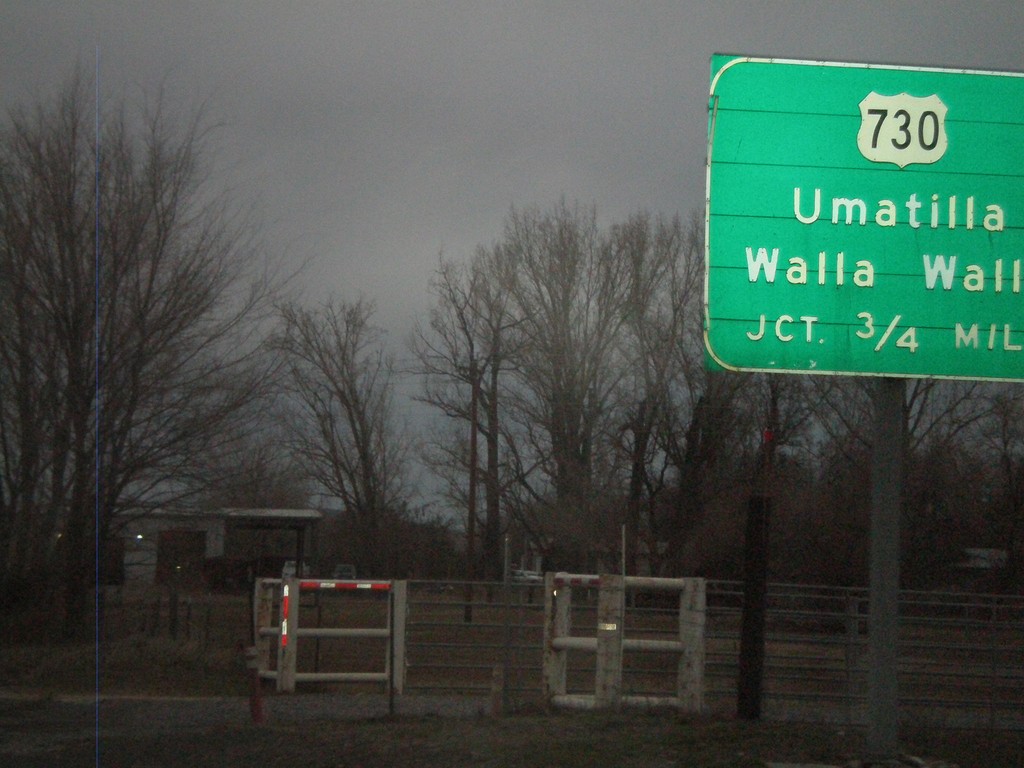
US-395 North Approaching US-730
US-395 north approaching US-730 to Umatilla and Walla Walla.
Taken 01-14-2010

 Umatilla
 County
Oregon
United States
Umatilla
Umatilla County
Oregon
United States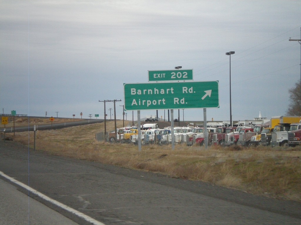
I-84 West - Exit 202
I-84 west at Exit 202 - Barnhart Road/Airport Road. This was renamed in 2009 from Barnhart Road/Stage Gulch with the completion of a connector road to the Pendleton Airport.
Taken 01-14-2010


 Pendleton
Umatilla County
Oregon
United States
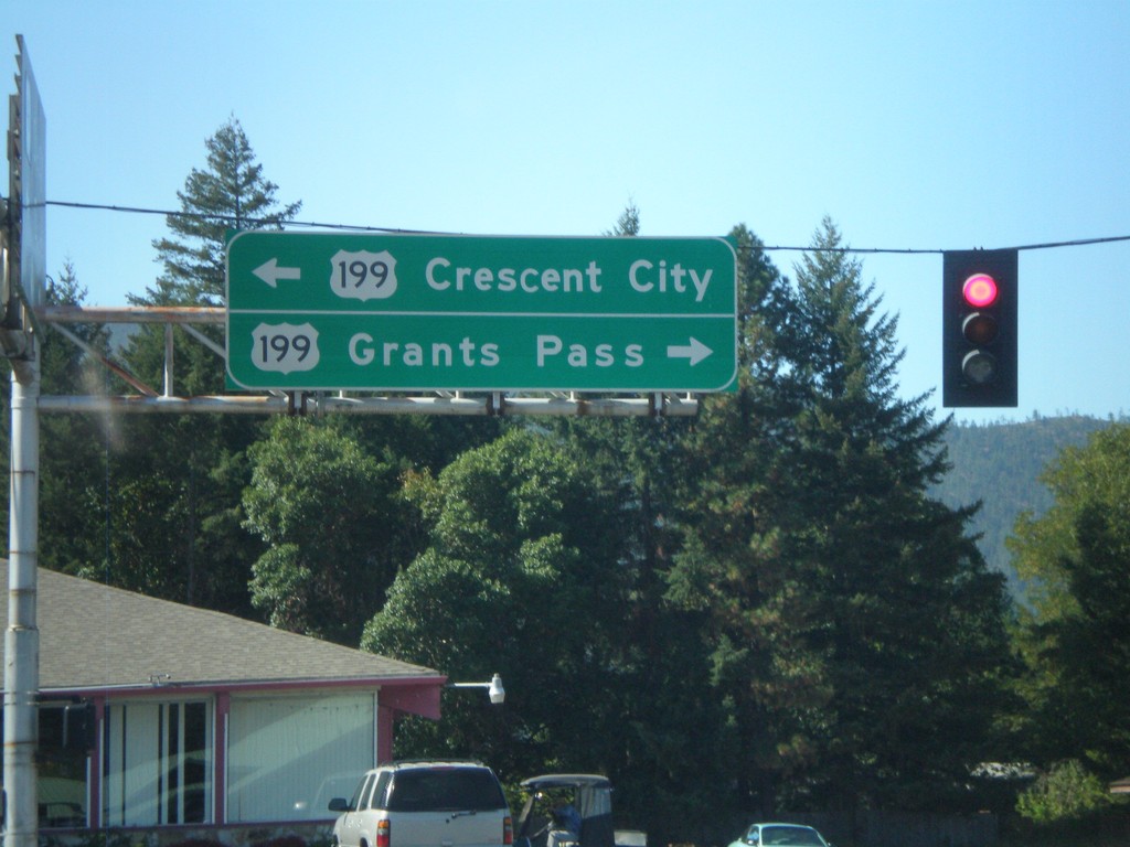
End OR-46 West at US-199
End OR-46 west at US-199. Use US-199 east for Grants Pass. Use US-199 west for Crescent City.
Taken 09-23-2009

 Cave Junction
Josephine County
Oregon
United States
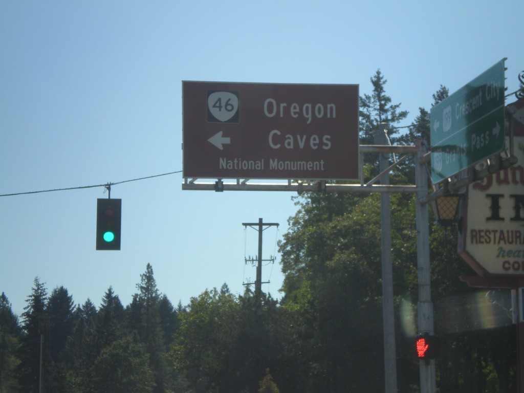
US-199 South at OR-46
US-199 south at OR-46 east to Oregon Cavess National Monument.
Taken 09-23-2009

 Cave Junction
Josephine County
Oregon
United States