Signs From Oregon
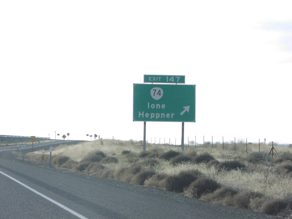
I-84 West Exit 147
I-84 west at Exit 147, OR-74/Ione/Heppner.
Taken 01-01-2007


 Ione
Gilliam County
Oregon
United States
Ione
Gilliam County
Oregon
United States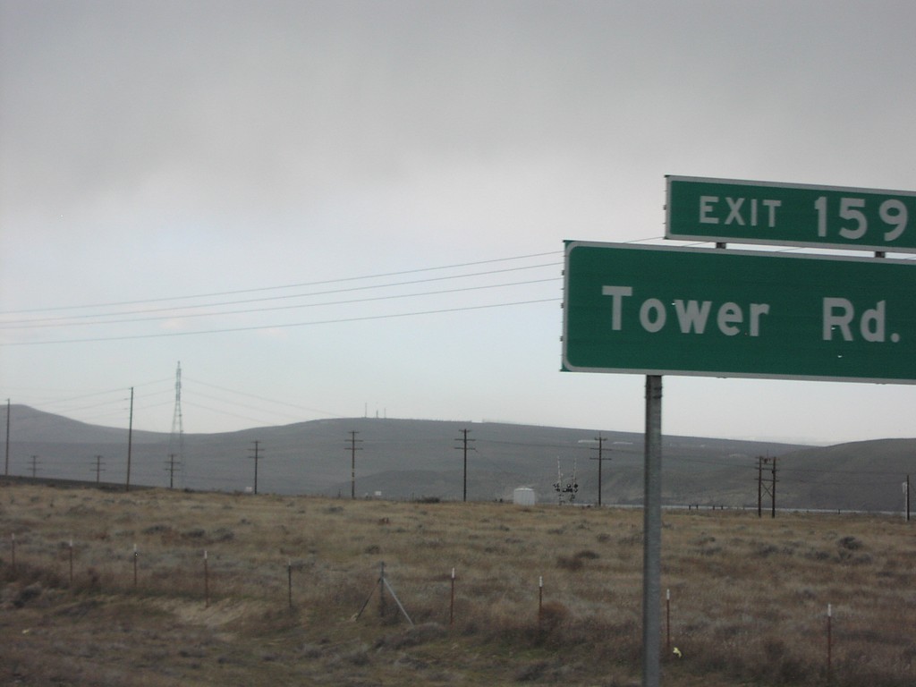
I-84 West Exit 159
I-84 west at Exit 159, Tower Road.
Taken 01-01-2007
Boardman
Morrow County
Oregon
United States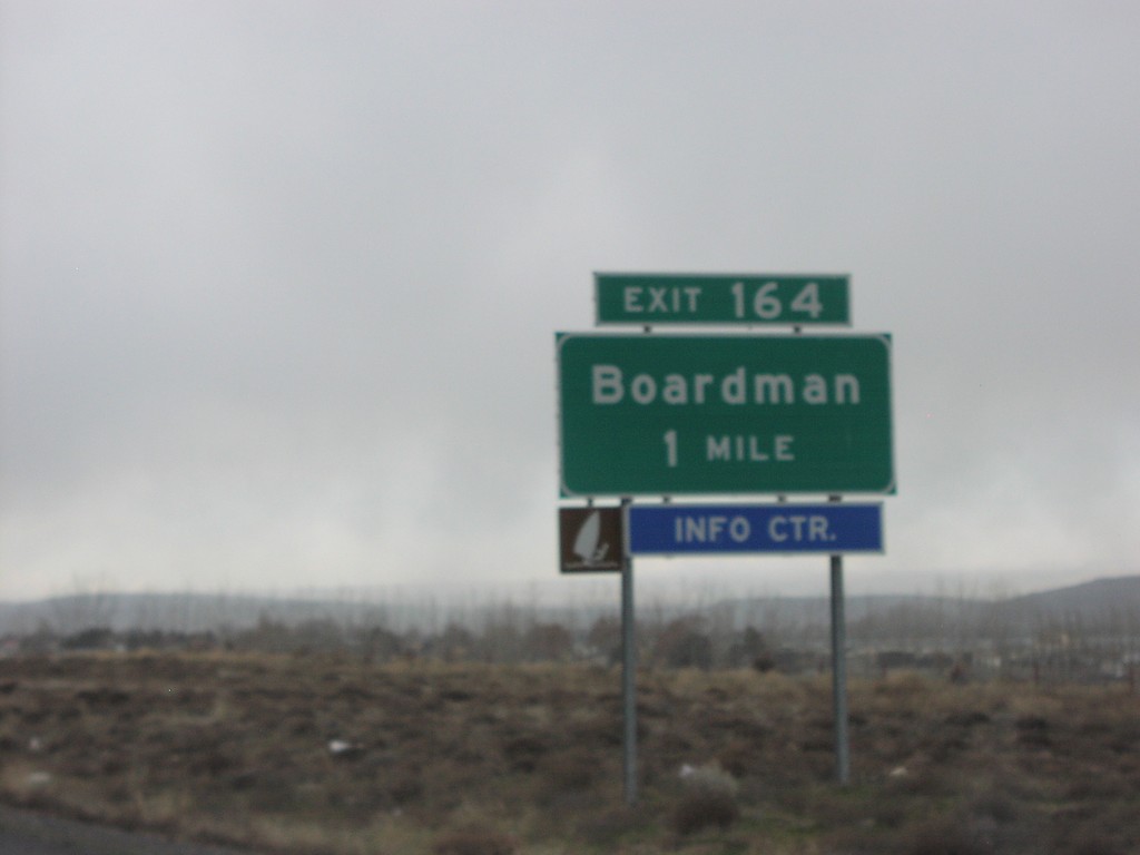
I-84 West Exit 164
I-84 west approaching Exit 164, Boardman.
Taken 01-01-2007
Boardman
Morrow County
Oregon
United States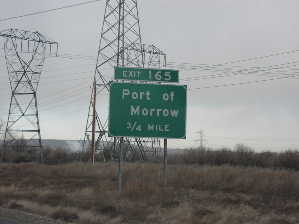
I-84 West Exit 165
I-84 west approaching Exit 165, Port of Morrow, 3/4 mile.
Taken 01-01-2007
Boardman
Morrow County
Oregon
United States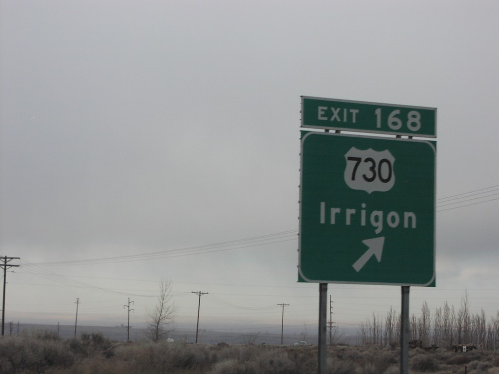
I-84 West Exit 168
I-84 west at Exit 168, US-730/Irrigon. US-730 is a short route that follows the Columbia River from here to US-12 near Wallula Gap.
Taken 01-01-2007
 Boardman
Morrow County
Oregon
United States
Boardman
Morrow County
Oregon
United States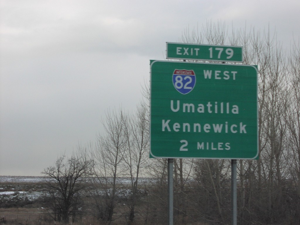
I-84 West Exit 179
I-84 west approaching Exit 179, I-82 West/Umatilla/Kennewick, 2 miles.
Taken 01-01-2007
 Hermiston
Umatilla County
Oregon
United States
Hermiston
Umatilla County
Oregon
United States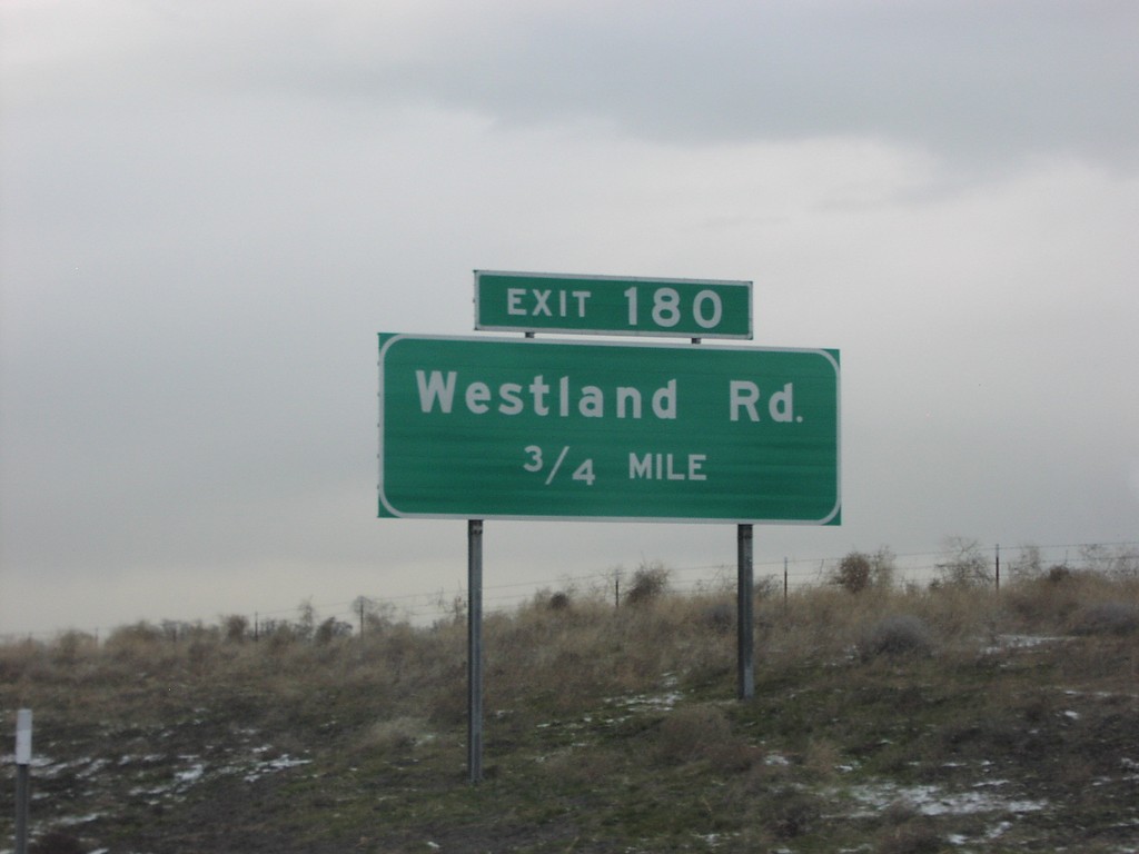
I-84 West Exit 180
I-84 west approaching Exit 180, Westland Road, 1/2 mile.
Taken 01-01-2007
Hermiston
Umatilla County
Oregon
United States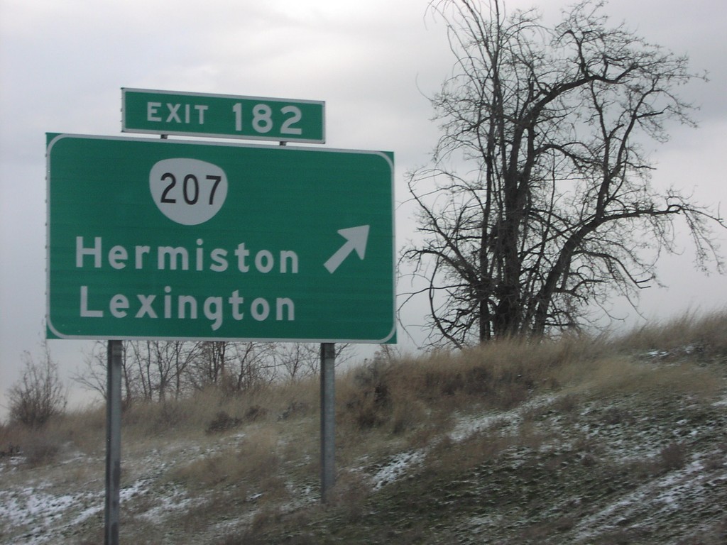
I-84 West Exit 182
I-84 west at Exit 182, OR-207/Hermiston/Lexington.
Taken 01-01-2007
 Bucks Corners
Umatilla County
Oregon
United States
Bucks Corners
Umatilla County
Oregon
United States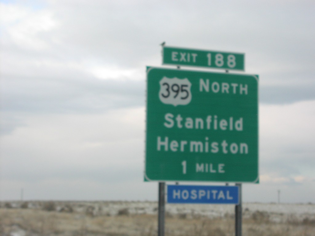
I-84 West Exit 188
I-84 west approaching Exit 188, US-395 North/Stanfield/Hermiston.
Taken 01-01-2007
 Echo
Umatilla County
Oregon
United States
Echo
Umatilla County
Oregon
United States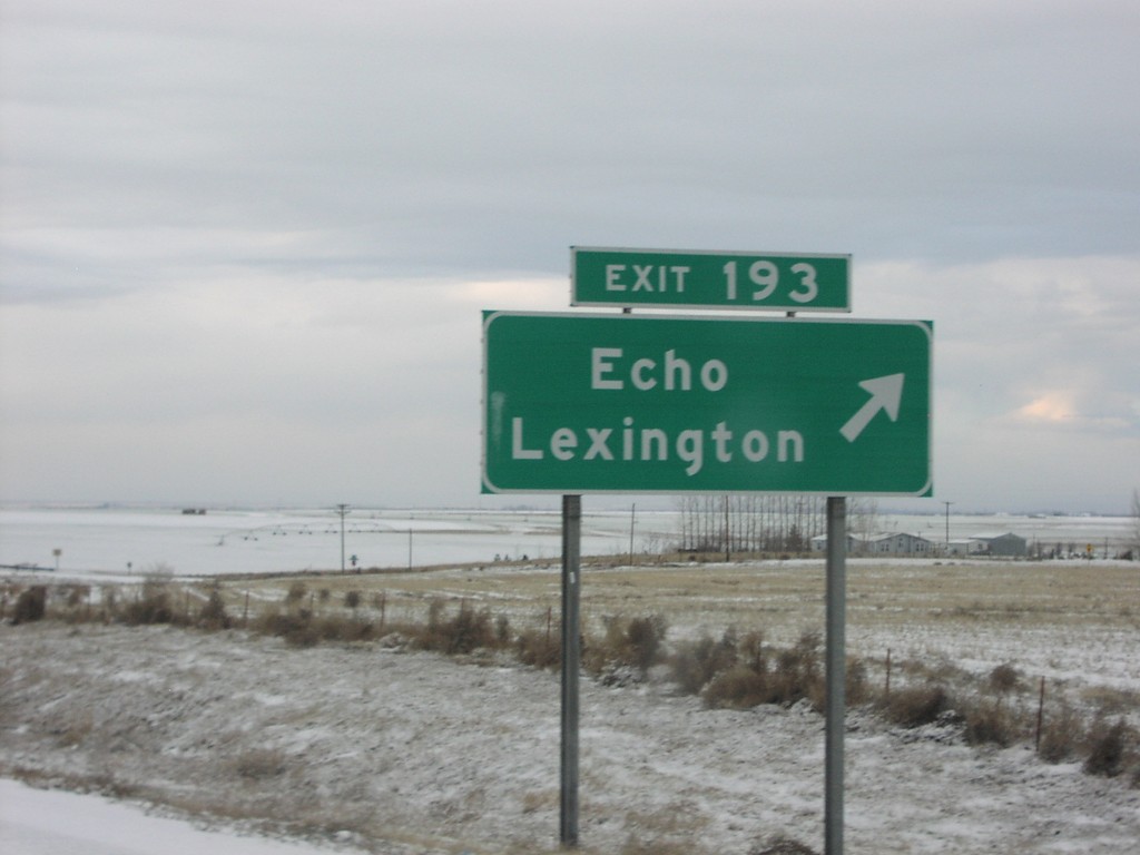
I-84 West Exit 193
I-84 west at Exit 193, Echo/Lexington
Taken 01-01-2007
Echo
Umatilla County
Oregon
United States