Signs From Oregon
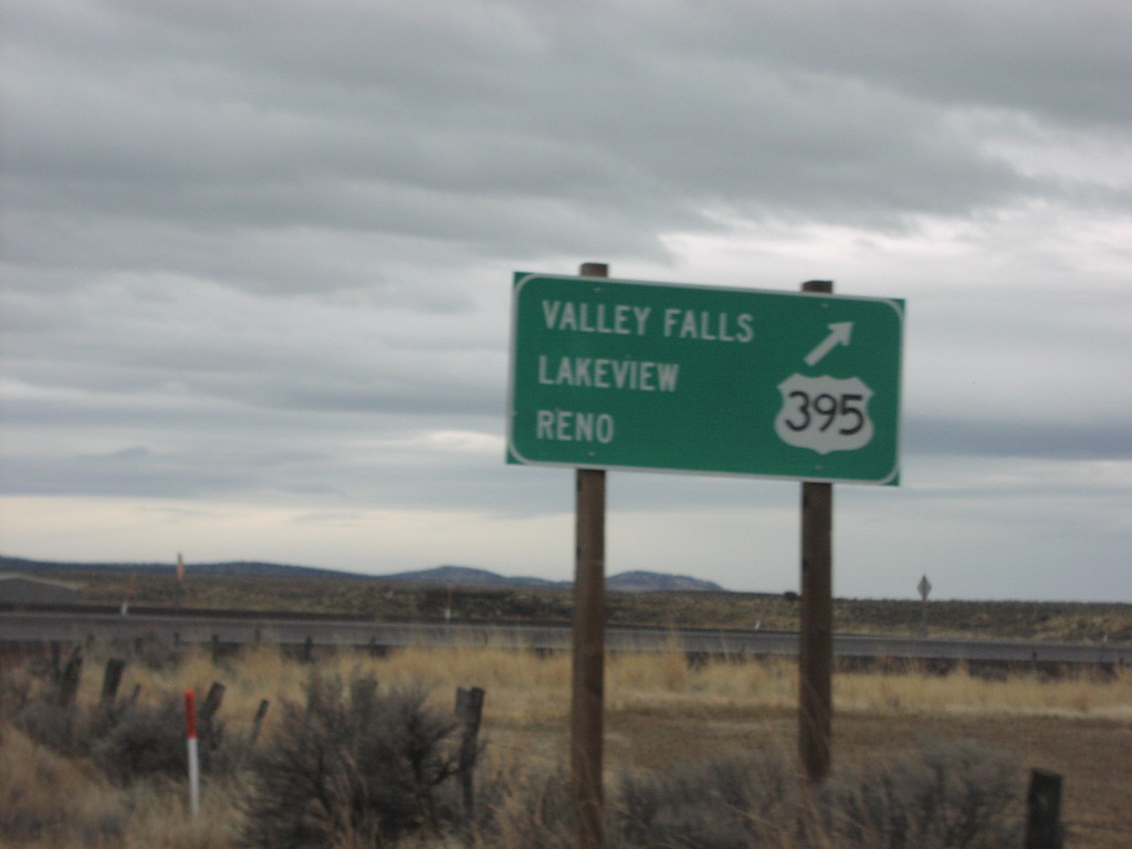
US-20 West at US-395 South
US-20 east at US-395 south to Valley Falls, Lakeview, and Reno.
Taken 12-01-2006

 Riley
Harney County
Oregon
United States
Riley
Harney County
Oregon
United States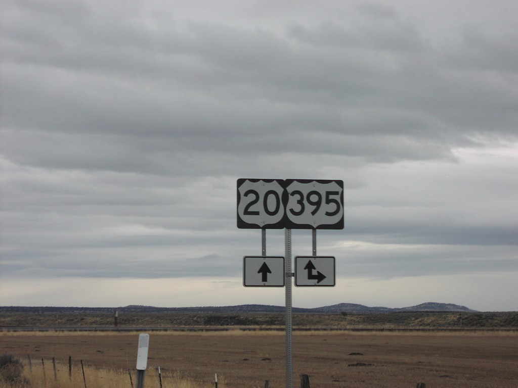
US-20 West at US-395 South
US-20 East at US-395 South. US-395 North follows US-20 east into Burns.
Taken 12-01-2006
Riley
Harney County
Oregon
United States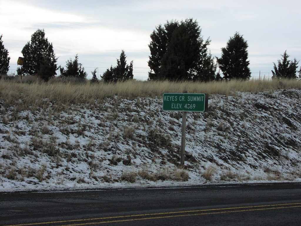
US-26 West - Keyes Creek Summit
US-26 at Keyes Creek Summit, Elevation 4,569 Feet.
Taken 12-01-2006
 Mitchell
Wheeler County
Oregon
United States
Mitchell
Wheeler County
Oregon
United States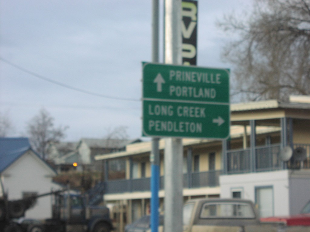
US-26 West at US-395 North
US-26 West/US-395 North at US-395 north to Long Creek and Pendleton.
Taken 12-01-2006
Mount Vernon
Grant County
Oregon
United States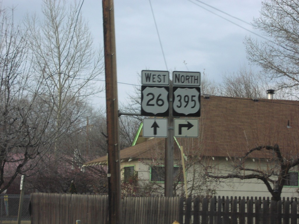
US-26 West at US-395 North
US-26 West/US-395 North approaching US-395 north.
Taken 12-01-2006
Mount Vernon
Grant County
Oregon
United States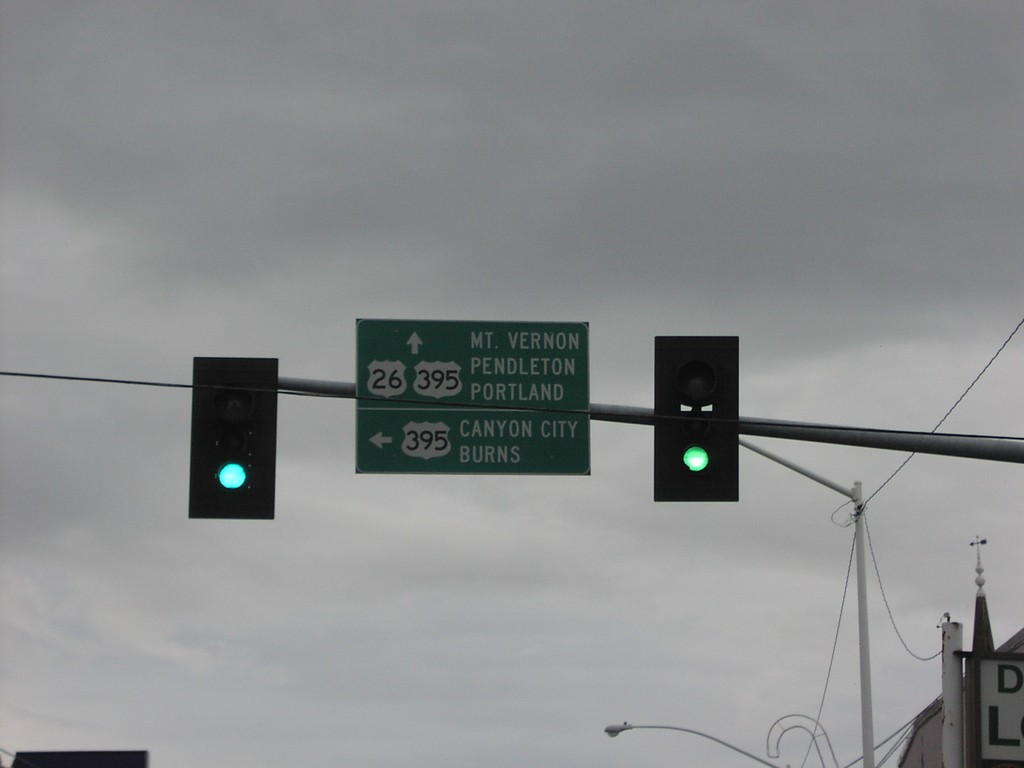
US-26 West at US-395 South
US-26 west at US-395 south to Canyon City and Burns. US-395 north joins US-26 west to Mt. Vernon.
Taken 12-01-2006
John Day
Grant County
Oregon
United States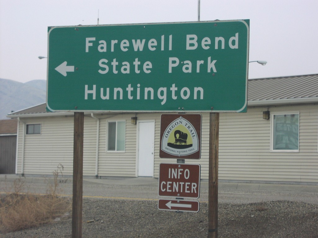
US-30 at I-84 Exit 352 Offramp
US-30 west at end of I-84 Exit 352 ramp, at I-84 eastbound ramps.
Taken 12-01-2006

 Huntington
Malheur County
Oregon
United States
Huntington
Malheur County
Oregon
United States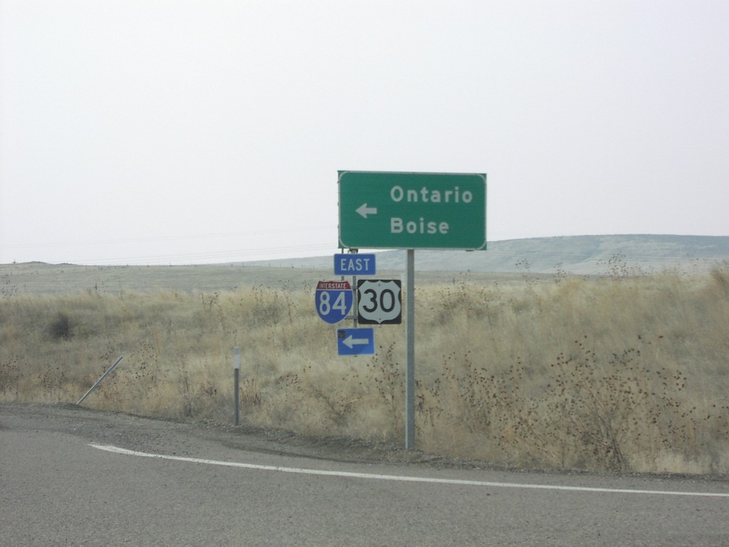
US-30 at I-84 Exit 352 Onramp
US-30 east at I-84/US-30 east to Ontario and Boise.
Taken 12-01-2006
Huntington
Baker County
Oregon
United States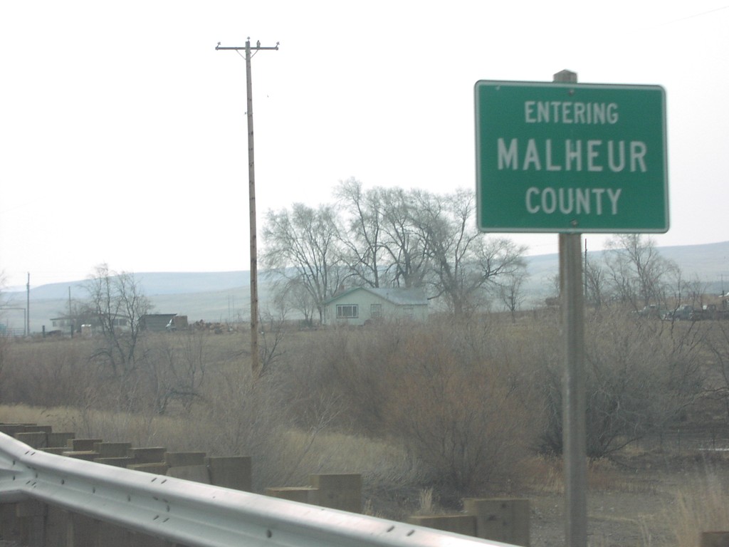
US-30 East - Entering Malheur County
US-30 east at Malheur/Baker County line, near Farewell Bend State Park. Farewell Bend is where the Oregon Trail left the Snake River, for interior Oregon.
Taken 12-01-2006
Huntington
Baker County
Oregon
United States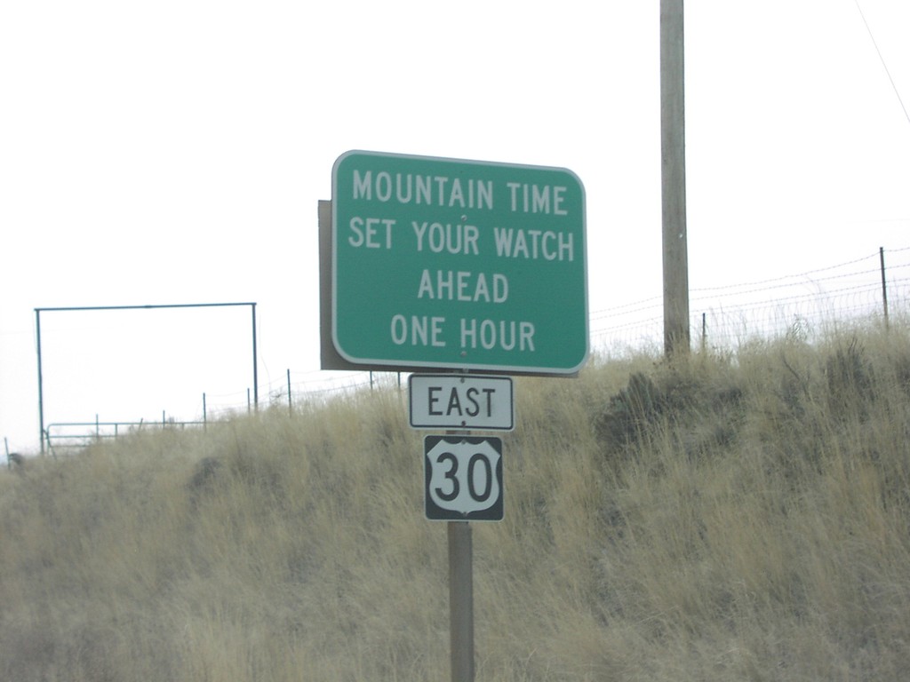
US-30 East - Mountain Time Zone
Mountain Time - Set Your Watch Ahead One Hour, on US-30 east.
Taken 12-01-2006
Huntington
Baker County
Oregon
United States