Signs From Oregon
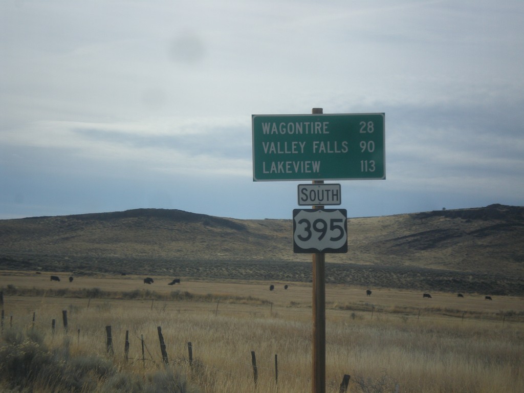
US-395 South - Distance Marker
Distance marker on US-395 south. Distance to Wagontire, Valley Falls, and Lakeview.
Taken 11-19-2017
 Riley
Harney County
Oregon
United States
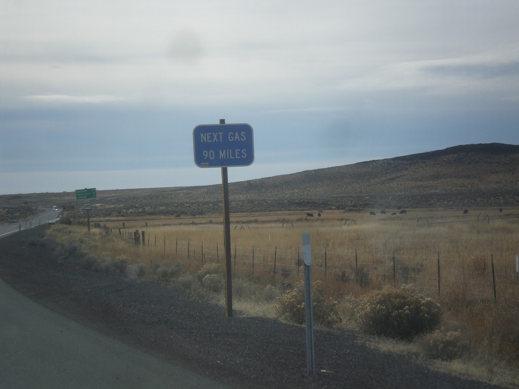
US-395 South - Next Gas 90 Miles
Next Gas 90 Miles on US-395 south. The next gas in this case is in Valley Falls. These types of signs are common in eastern Oregon after leaving a settlement with a gas pump.
Taken 11-19-2017
 Riley
Harney County
Oregon
United States
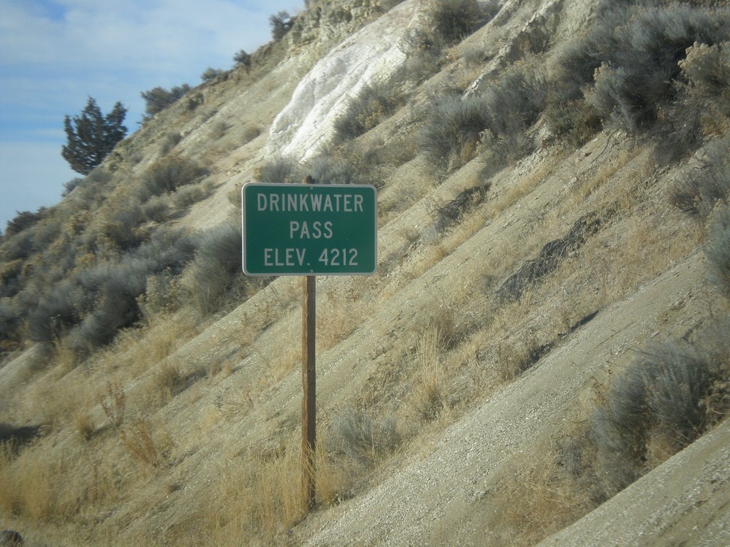
US-20 West - Drinkwater Pass
Drinkwater Pass - Elevation 4212 Feet on US-20 West.
Taken 11-19-2017
 Drewsey
Harney County
Oregon
United States
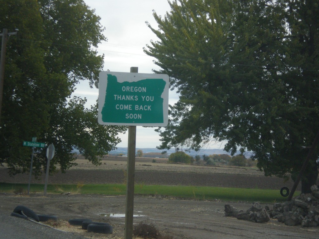
Oregon Thanks You - Come Back Soon on OR-201 South
Oregon Thanks You - Come Back Soon on OR-201 South approaching the Idaho border.
Taken 10-22-2017
 Adrian
Malheur County
Oregon
United States
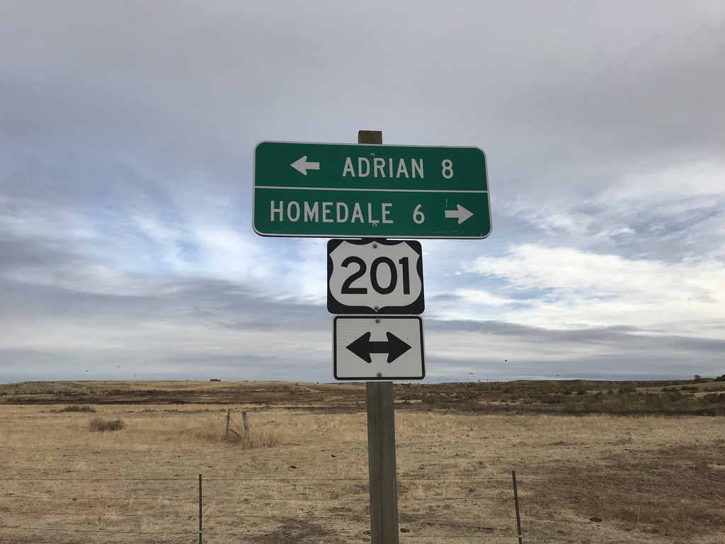
End Succor Creek Road at OR-201
End Succor Creek Road at OR-201. Use OR-201 south to Homedale (Idaho); use OR-201 north to Adrian. The OR-201 shield is incorrectly marked with a US shield.
Taken 10-22-2017
 Adrian
Malheur County
Oregon
United States
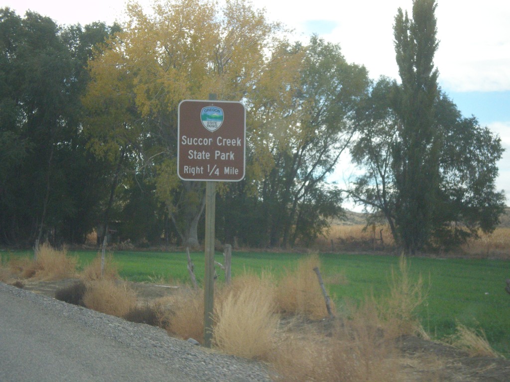
OR-201 South Approaching Succor Creek Road
OR-201 South approaching Succor Creek Road to Succor Creek State Park.
Taken 10-22-2017
 Adrian
Malheur County
Oregon
United States
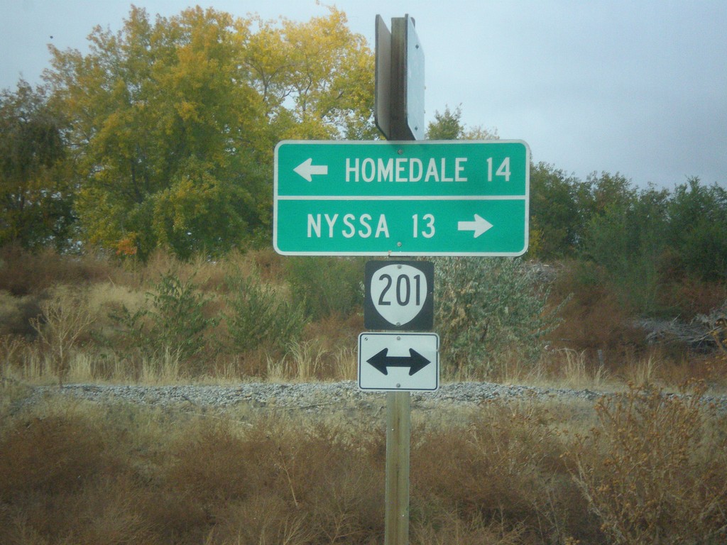
End OR-452 at OR-201
End OR-452 at OR-201 in Adrian. Turn left for OR-201 south to Homedale (Idaho); right for OR-201 north to Nyssa.
Taken 10-22-2017

 Adrian
Malheur County
Oregon
United States
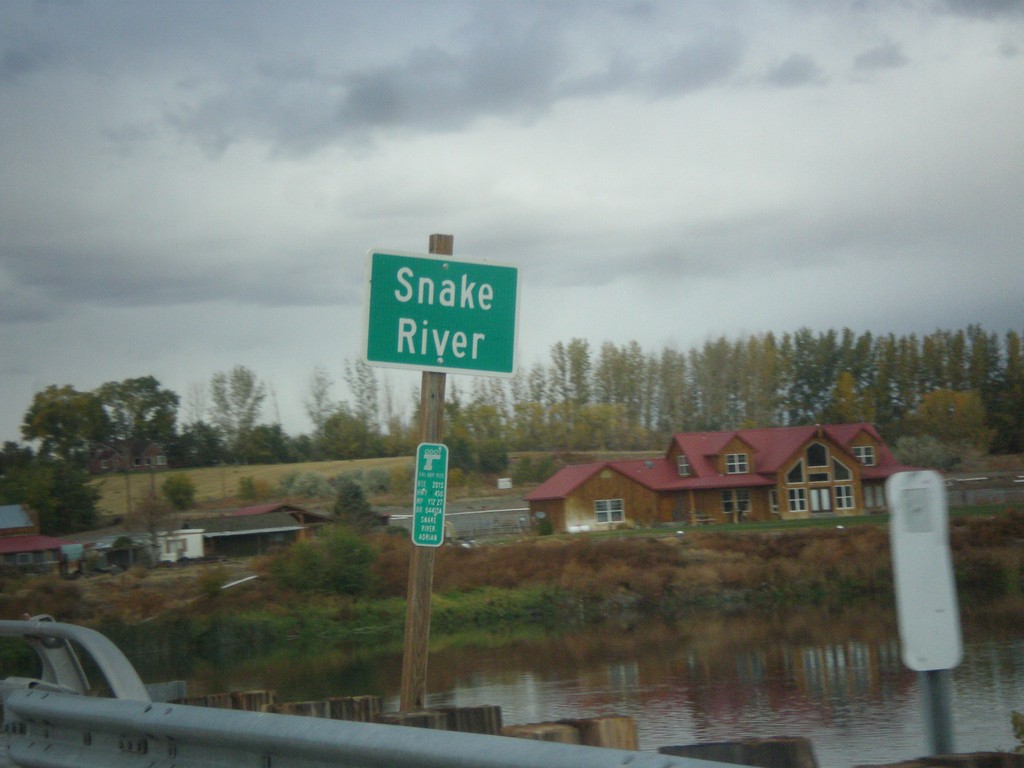
OR-452 West at the Snake River
OR-452 west at the Snake River. This small stretch of the Snake River near Adrian is the only part of the Snake River wholly within Oregon.
Taken 10-22-2017
 Adrian
Malheur County
Oregon
United States
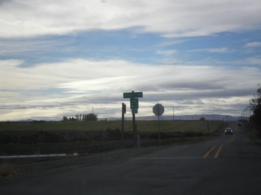
End OR-452 West at OR-454
End OR-452 West (unsigned) at OR-454 (unsigned). Turn right to continue west on OR-452 to Adrian. Continue straight for OR-454 West to (Big Bend Road) Caldwell (Idaho).
Taken 10-22-2017

 Adrian
Malheur County
Oregon
United States
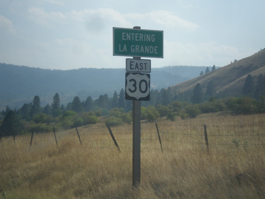
US-30 East - La Grande
Entering La Grande on US-30 east. La Grande is the county seat of Union County and home to Eastern Oregon University.
Taken 09-09-2017
 La Grande
Union County
Oregon
United States