Signs From Oregon
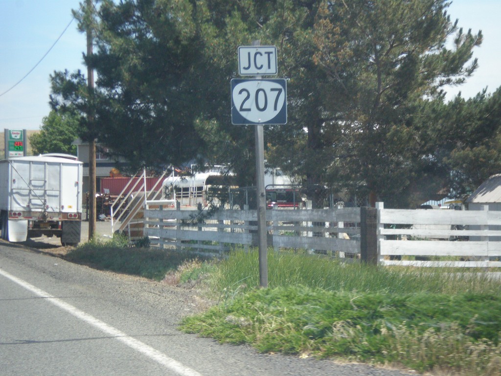
OR-74 South Approaching OR-207
OR-74 South Approaching OR-207 in Lexington.
Taken 06-05-2016

 Lexington
Morrow County
Oregon
United States
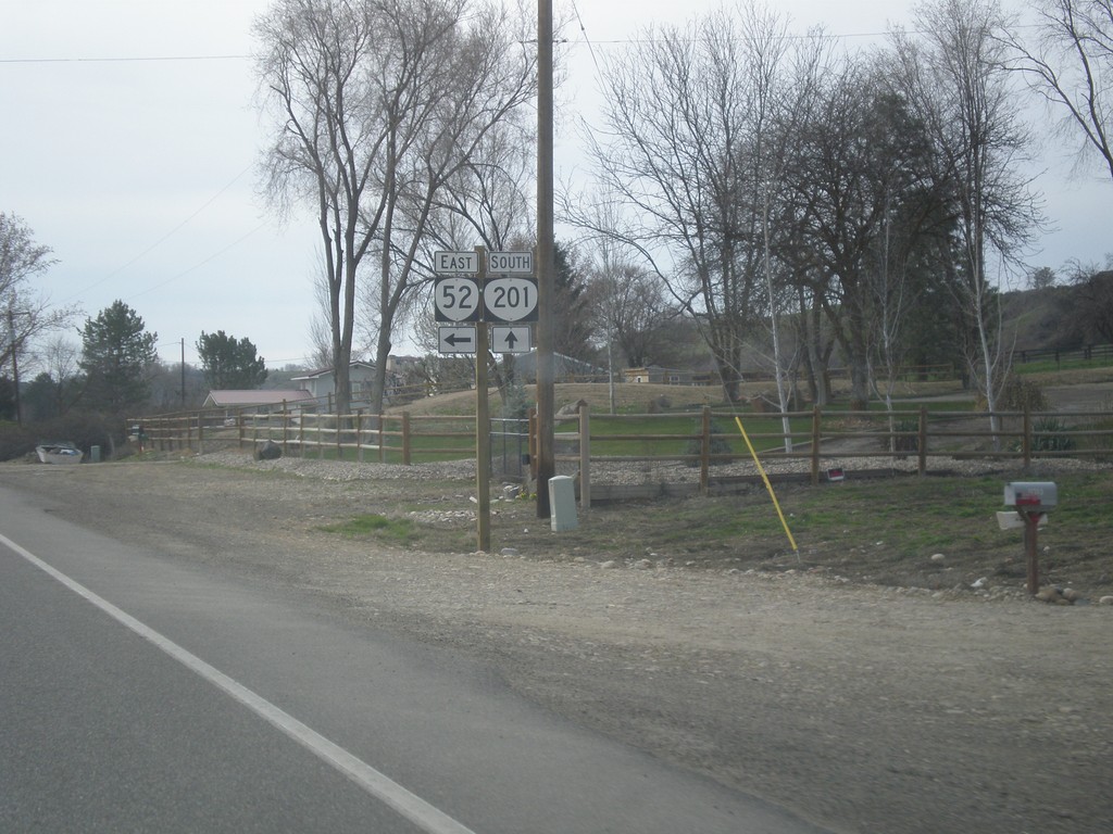
OR-201 South at OR-52
OR-201 south at OR-52 in Malheur County.
Taken 03-20-2016

 Ontario
Malheur County
Oregon
United States
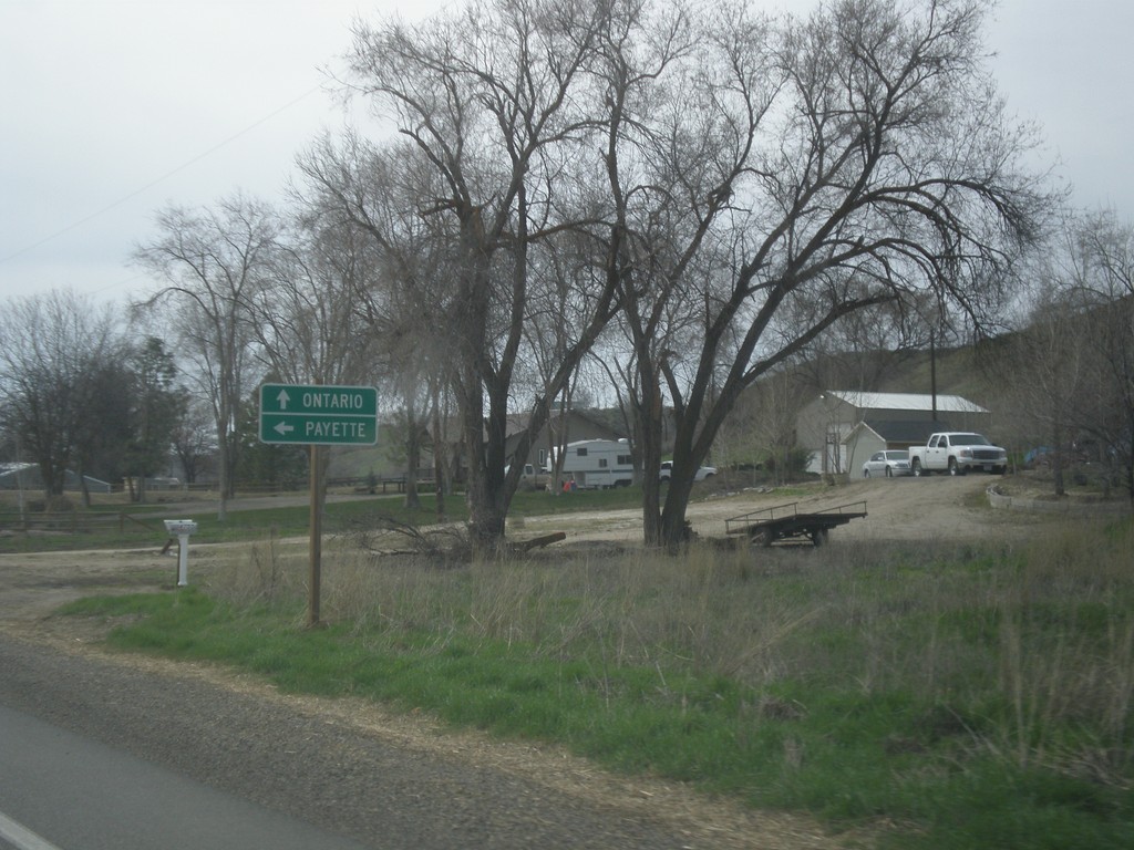
OR-201 south at OR-52
OR-201 south at OR-52. Turn left on OR-52 for Payette (Idaho). Continue south on OR-201 for Ontario.
Taken 03-20-2016

 Ontario
Malheur County
Oregon
United States
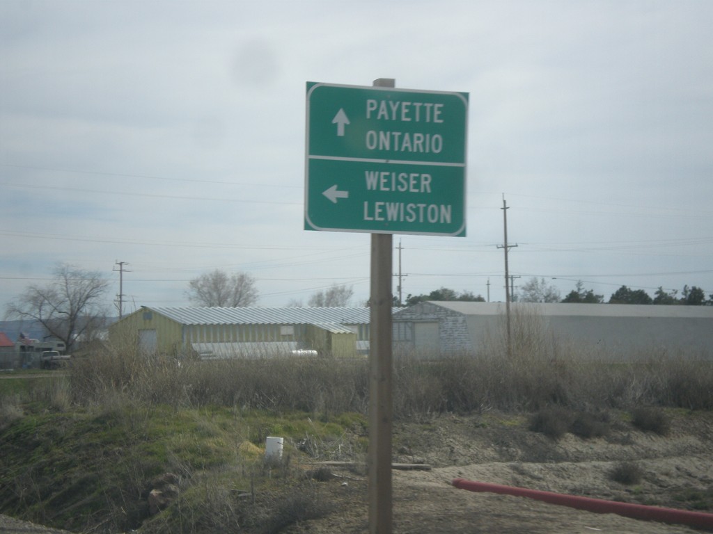
OR-201 South at US-95 Spur
OR-201 south at US-95 Spur north to Lewiston and Weiser (both communities in Idaho). Continue south on OR-201 for Payette (ID) and Ontario.
Taken 03-20-2016

 Ontario
Malheur County
Oregon
United States
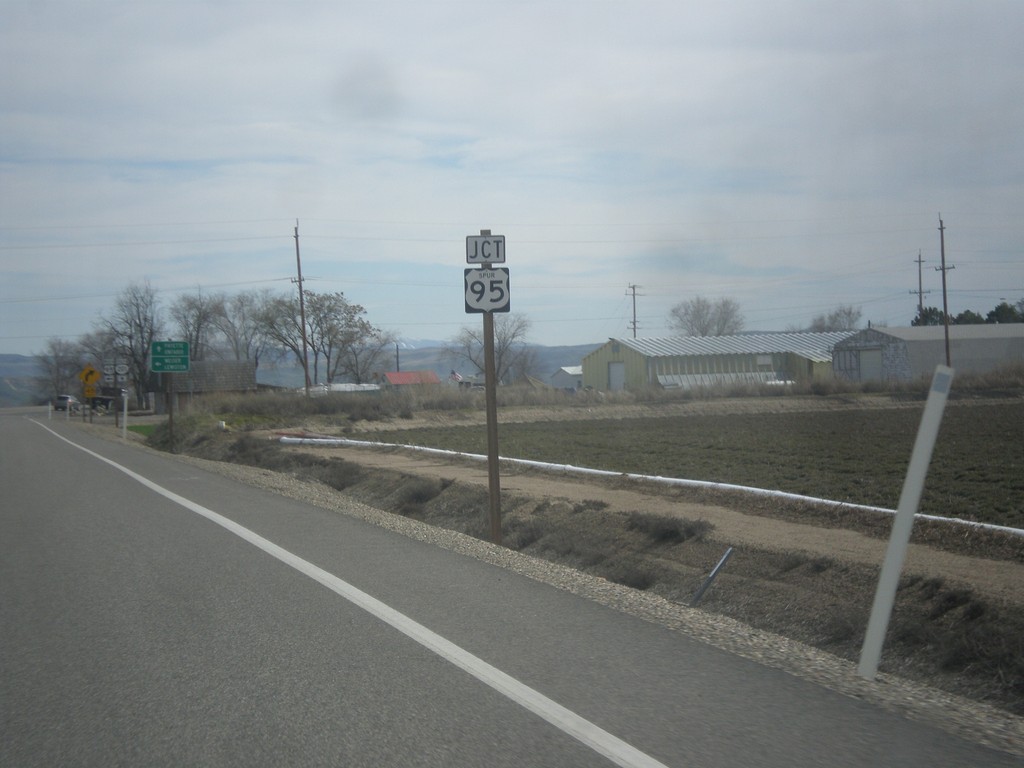
OR-201 South at US-95 Spur
OR-201 south approaching US-95 Spur, north.
Taken 03-20-2016

 Ontario
Malheur County
Oregon
United States
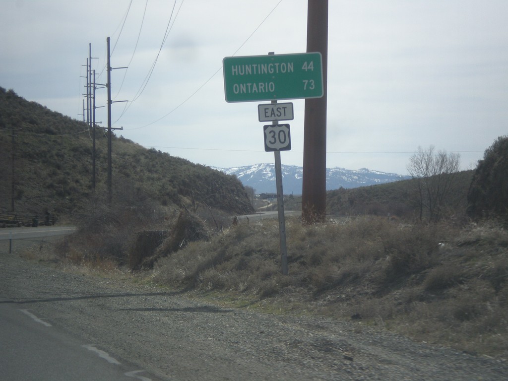
US-30 East - Distance Marker
Distance marker on US-30 east. Distance to Huntington and Ontario.
Taken 03-20-2016
 Baker City
Baker County
Oregon
United States
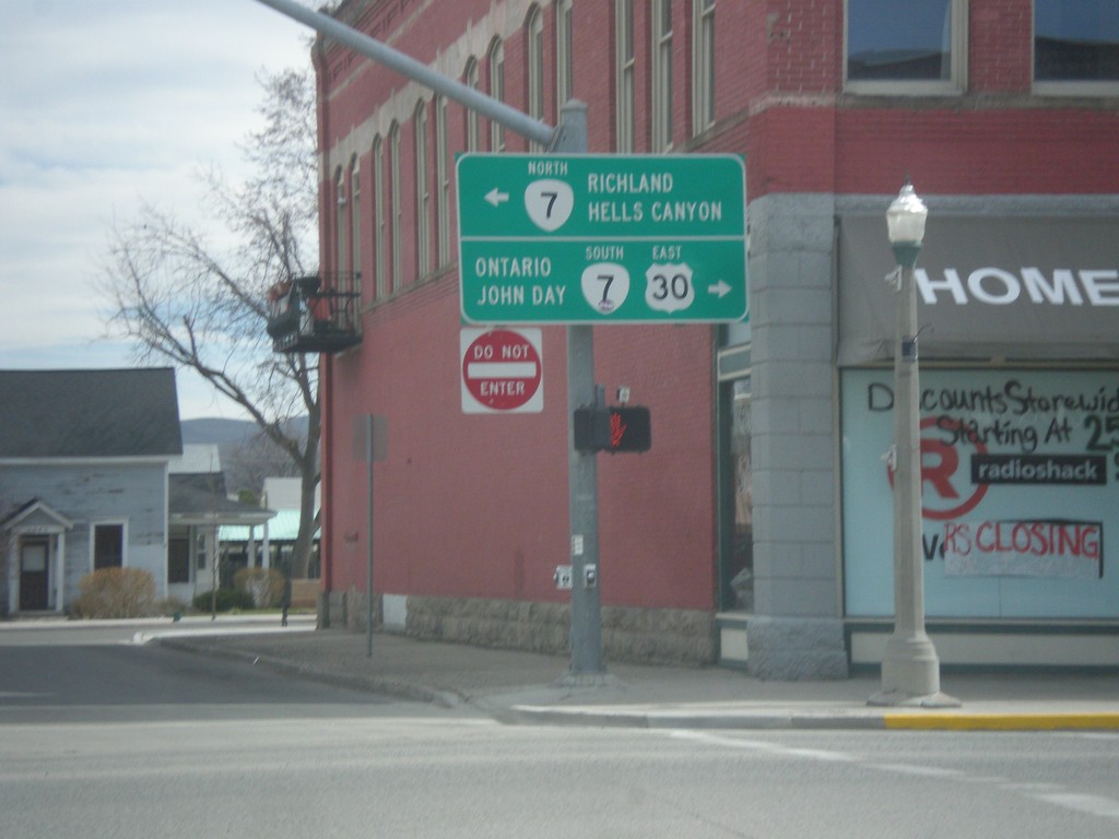
US-30 West at OR-7 - Baker City
US-30 West/OR-7 east in Baker City. Turn right for US-30 East/OR-7 South to Ontario and John Day. Turn left for OR-7 west to Richland and Hells Canyon (via OR-86).
Taken 03-20-2016


 Baker City
Baker County
Oregon
United States
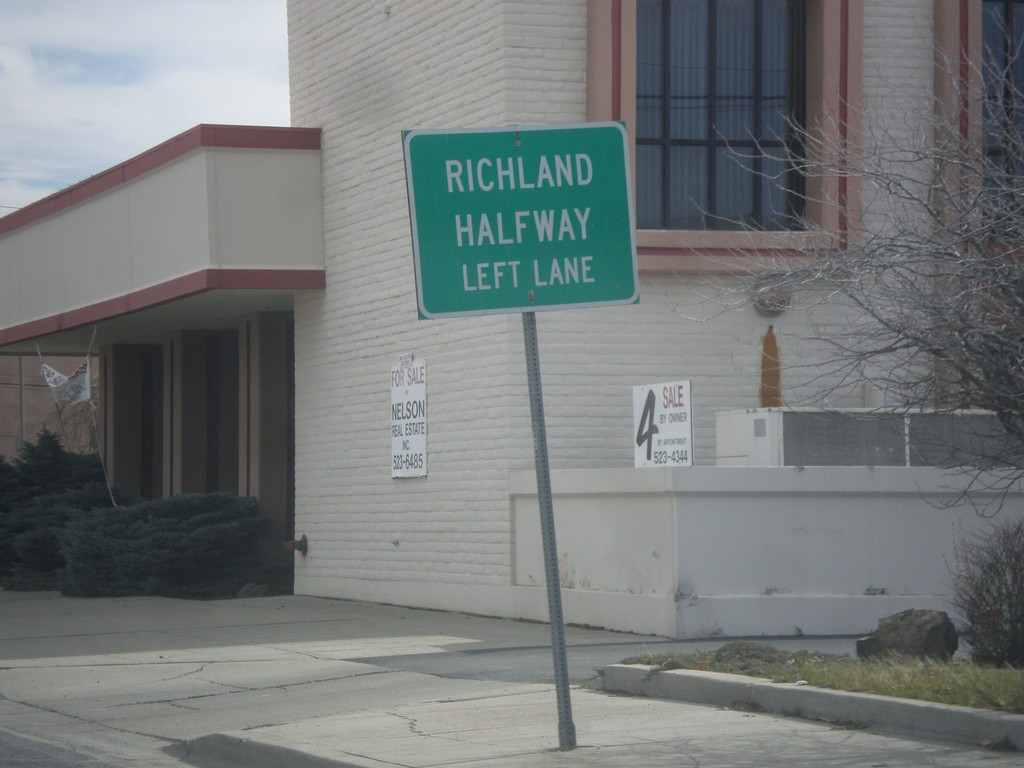
US-30 East Approaching OR-7
US-30 east approaching OR-7. Use left lane for Richland and Halfway. Both of these communities are along OR-86 between Baker City and Hells Canyon.
Taken 03-20-2016

 Baker City
Baker County
Oregon
United States
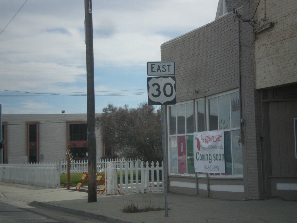
US-30 East - Baker City
US-30 east along Broadway in Baker City.
Taken 03-20-2016
 Baker City
Baker County
Oregon
United States
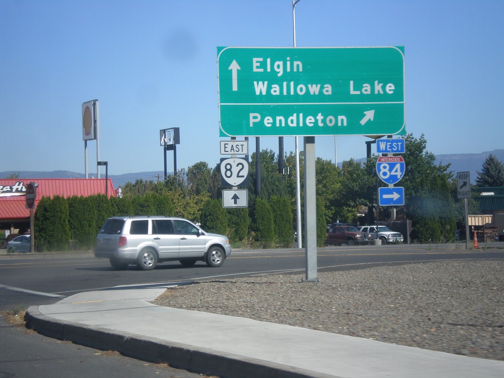
OR-82 East at I-84 West (Exit 261)
OR-82 East at I-84 West (Exit 261) to Pendleton. Continue east on OR-82 for Elgin and Wallowa Lake.
Taken 09-13-2015

 La Grande
Union County
Oregon
United States