Signs From Texas
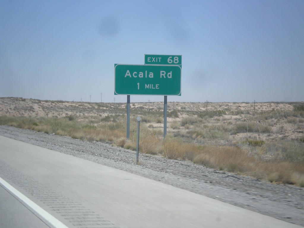
I-10 West - Exit 68
I-10 west approaching Exit 68 - Acala Road.
Taken 04-15-2013
 Fort Hancock
Hudspeth County
Texas
United States
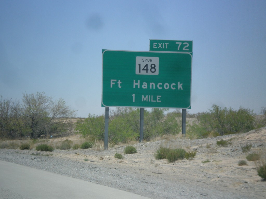
I-10 West - Exit 72
I-10 west approaching Exit 72 - TX-148 Spur/Ft. Hancock.
Taken 04-15-2013

 Fort Hancock
Hudspeth County
Texas
United States
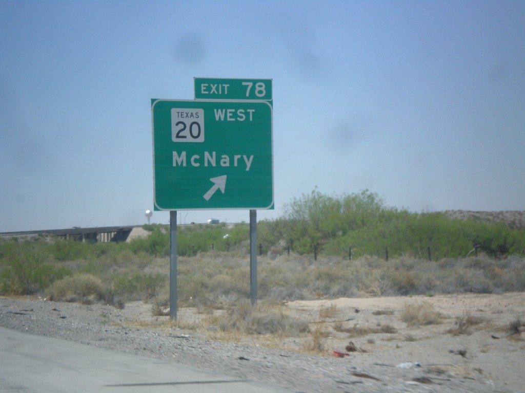
I-10 West - Exit 78
I-10 west at Exit 78 - TX-20/McNary. TX-20 runs between the Rio Grande and I-10 between here and El Paso. Views of the Rio Grande and Mexico can be seen south of the highway through through this area.
Taken 04-15-2013

 Fort Hancock
Hudspeth County
Texas
United States
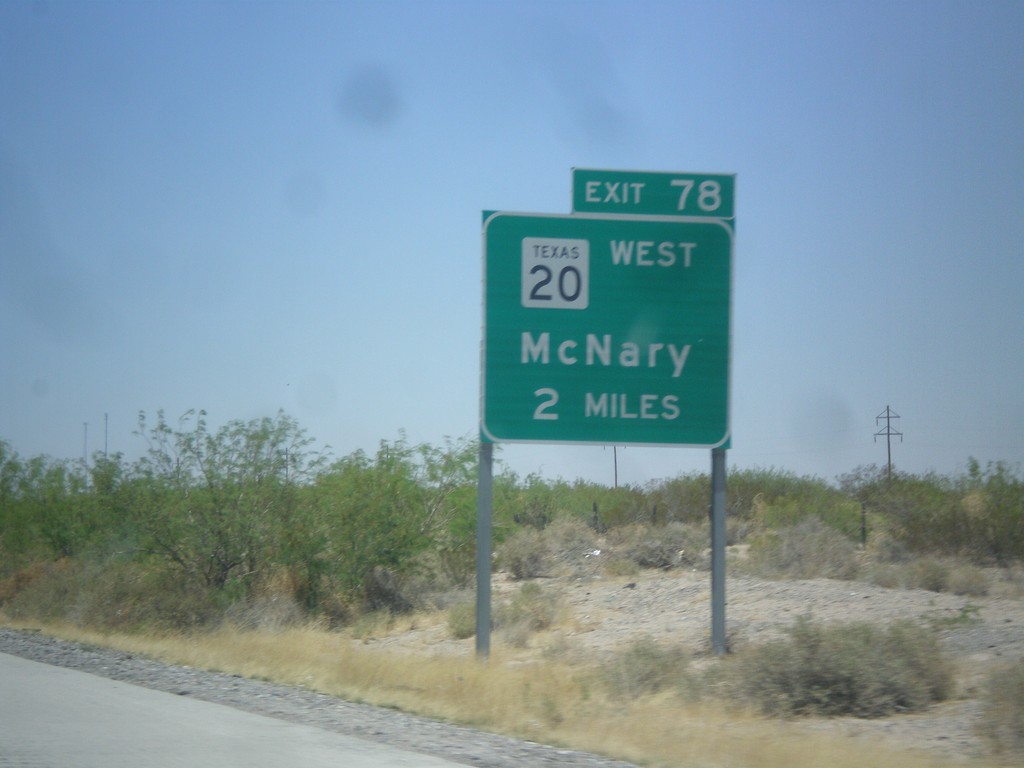
I-10 West Approaching Exit 80
I-10 west approaching Exit 80 - TX-20/McNary.
Taken 04-15-2013

 Fort Hancock
Hudspeth County
Texas
United States
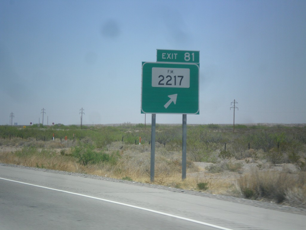
I-10 West - Exit 81
I-10 west at Exit 81 - FM-2217.
Taken 04-15-2013

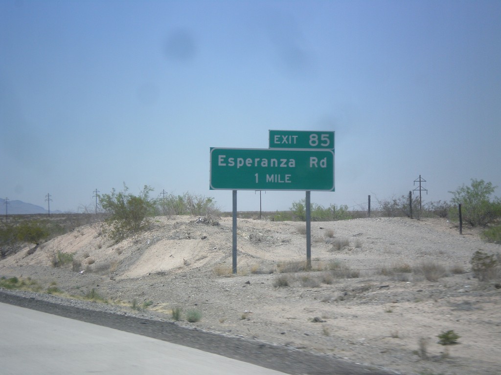
I-10 West - Exit 85
I-10 West at Exit 85 - Esperanza Road. I-10 enters the Rio Grande Valley near here. I-10 parallels the Rio Grande from here to Las Cruces, NM.
Taken 04-15-2013
 Fort Hancock
Hudspeth County
Texas
United States
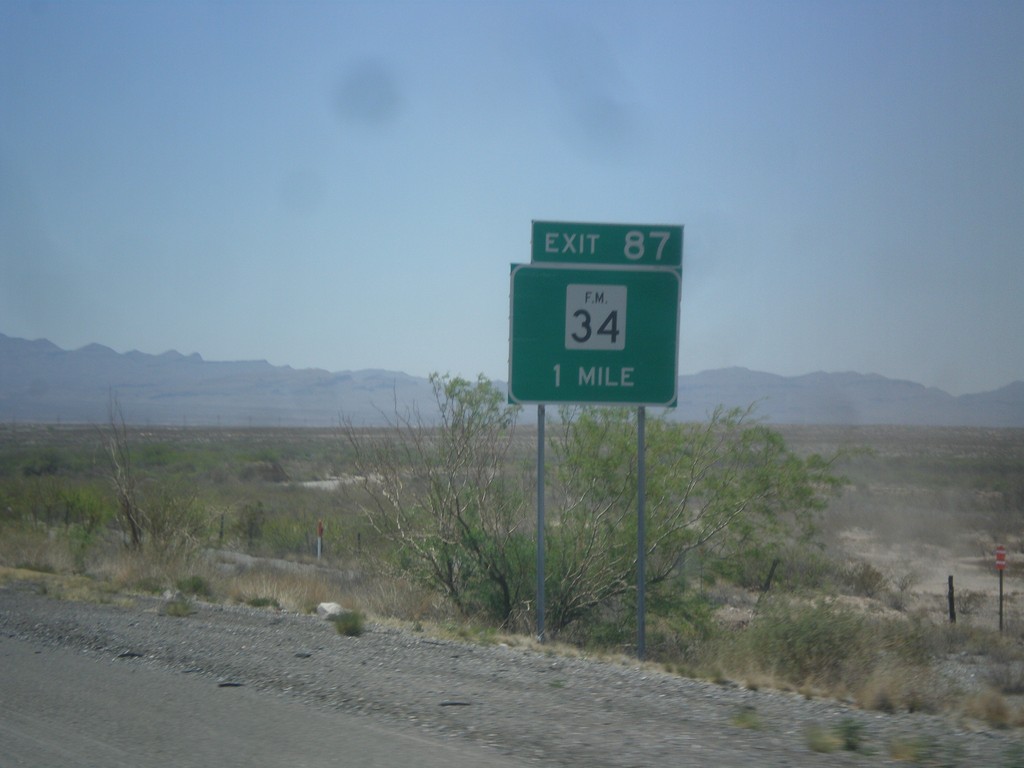
I-10 West - Exit 88
I-10 west at Exit 88 - FM-34.
Taken 04-15-2013

 Esperanza
Hudspeth County
Texas
United States
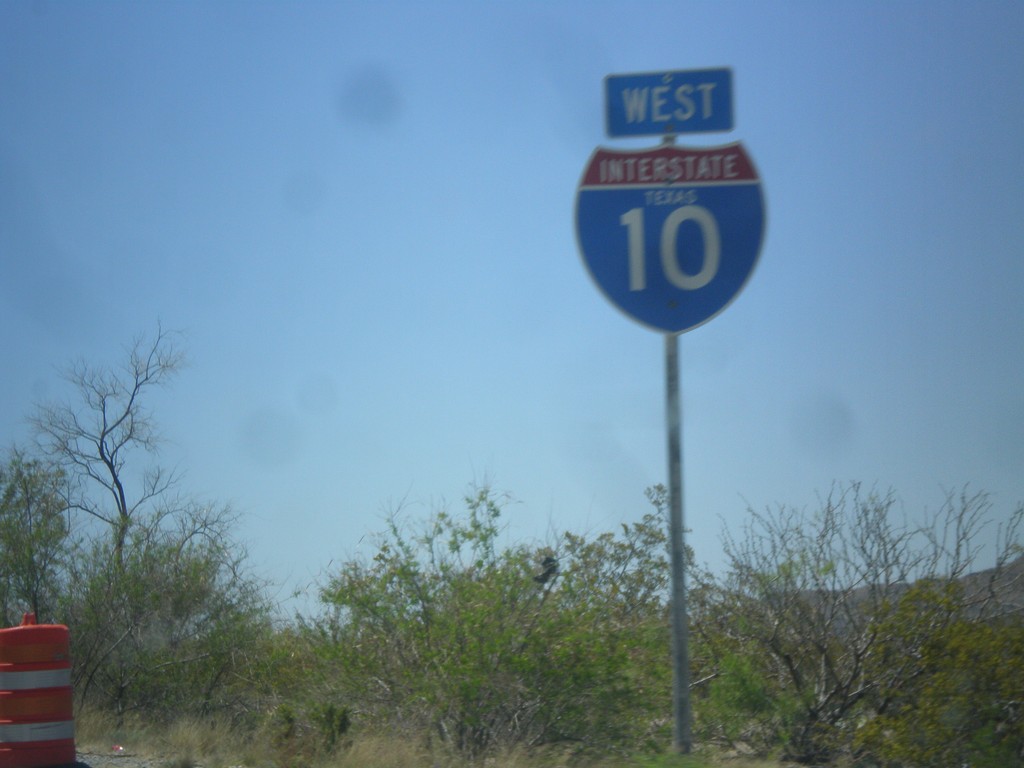
I-10 West - Texas
I-10 west with the word Texas in the shield. The only I-10 shields with the state name I saw were in Hudspeth County.
Taken 04-15-2013
 Sierra Blanca
Hudspeth County
Texas
United States
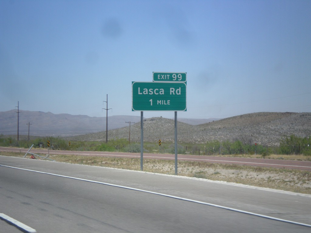
I-10 West - Exit 99
I-10 west approaching Exit 99 - Lasca Road.
Taken 04-15-2013
 Sierra Blanca
Hudspeth County
Texas
United States
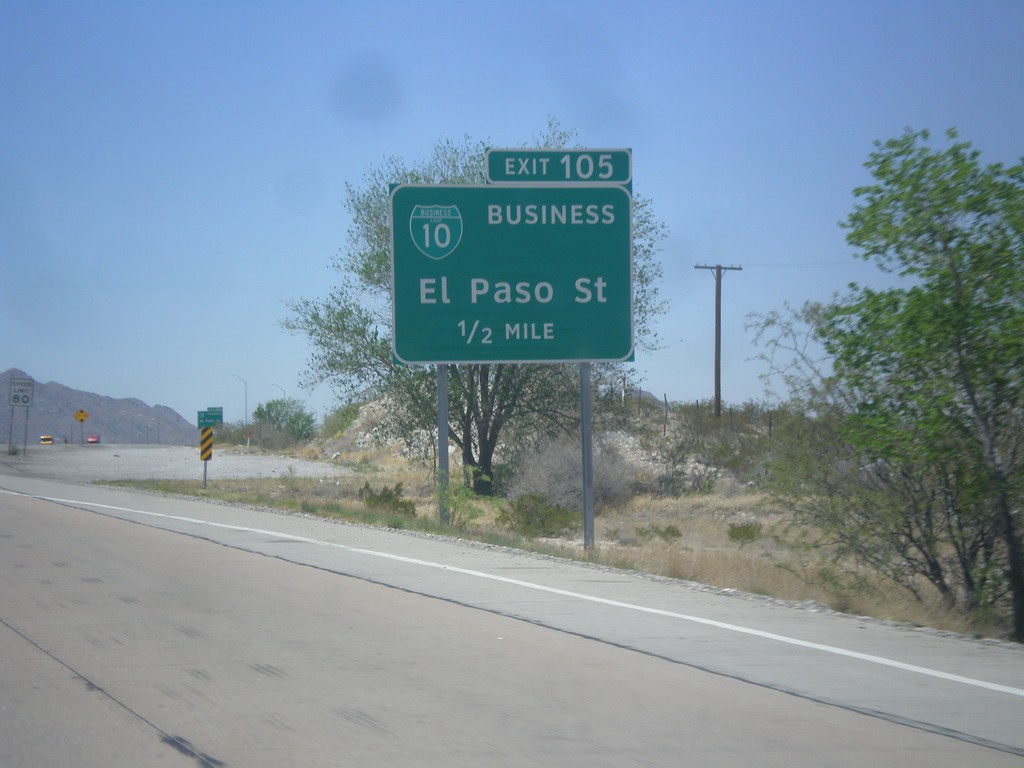
I-10 West - Exit 106
I-10 west approaching Exit 106 - BL-10 Business/El Paso St.
Taken 04-15-2013

 Sierra Blanca
Hudspeth County
Texas
United States