Signs From Utah
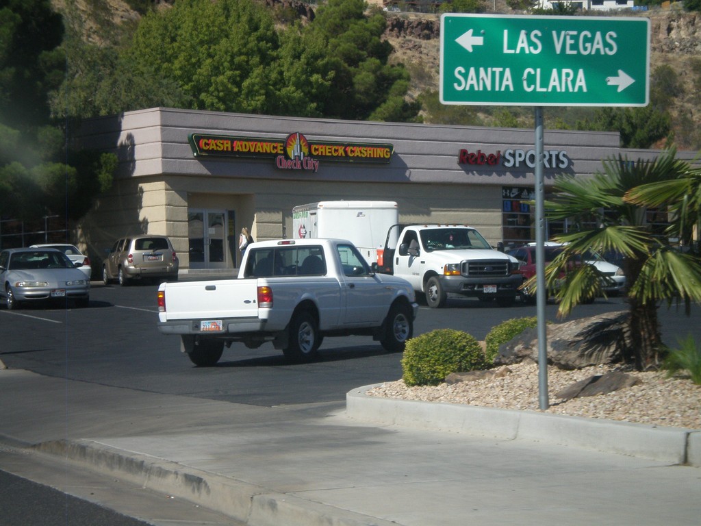
End UT-34 West at UT-18
End UT-34 West at UT-18. Use UT-18 north for Santa Clara; use UT-18 south for Las Vegas (Nevada).
Taken 10-14-2011

 St. George
Washington County
Utah
United States
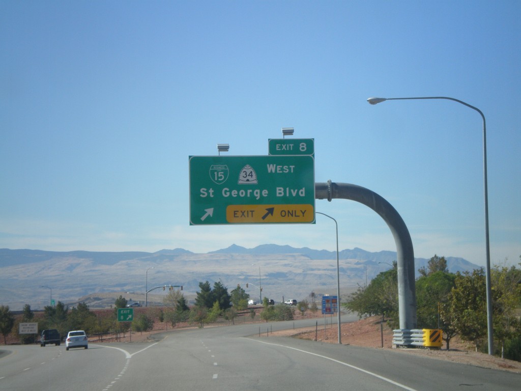
I-15 South - Exit 8
I-15 south at Exit 8 - BL-15/UT-34 West/St. George Blvd.
Taken 10-14-2011


 St. George
Washington County
Utah
United States
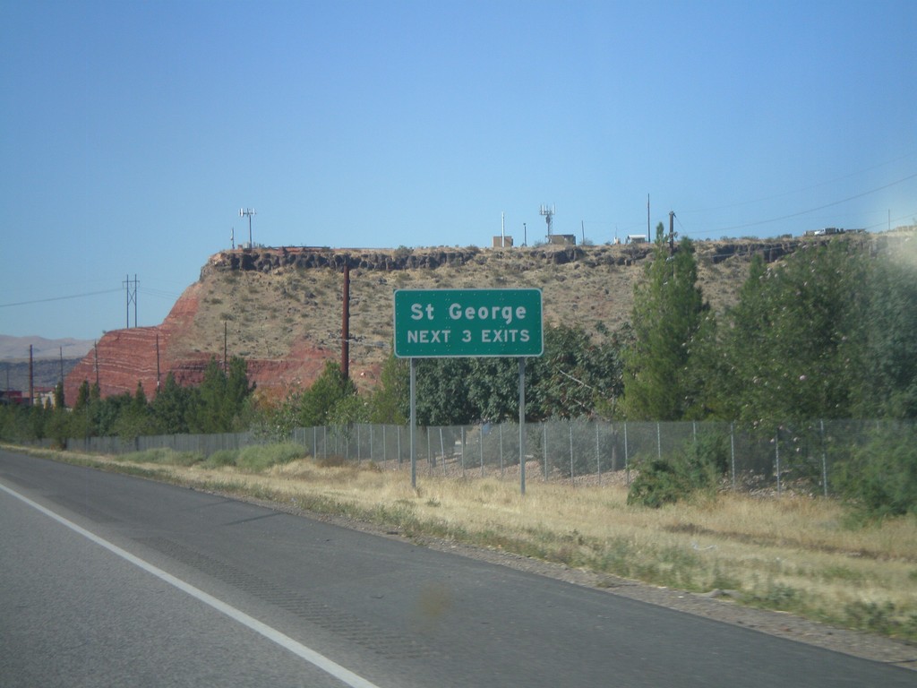
I-15 South - St. George Next 3 Exits
St. George Next 3 Exits on I-15 south.
Taken 10-14-2011
 St. George
Washington County
Utah
United States
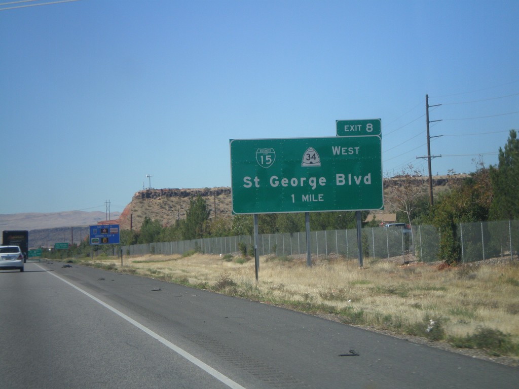
I-15 South - Exit 8
I-15 south approaching Exit 8 - BL-15/UT-34 West/St. George Blvd.
Taken 10-14-2011


 St. George
Washington County
Utah
United States
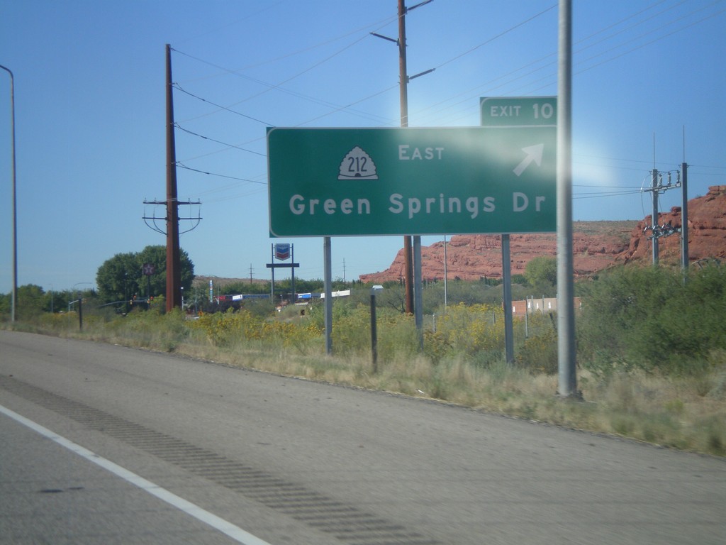
I-15 South - Exit 10
I-15 south at Exit 10 - UT-212 East/Green Springs Drive.
Taken 10-14-2011

 Washington
 County
Utah
United States
Washington
Washington County
Utah
United States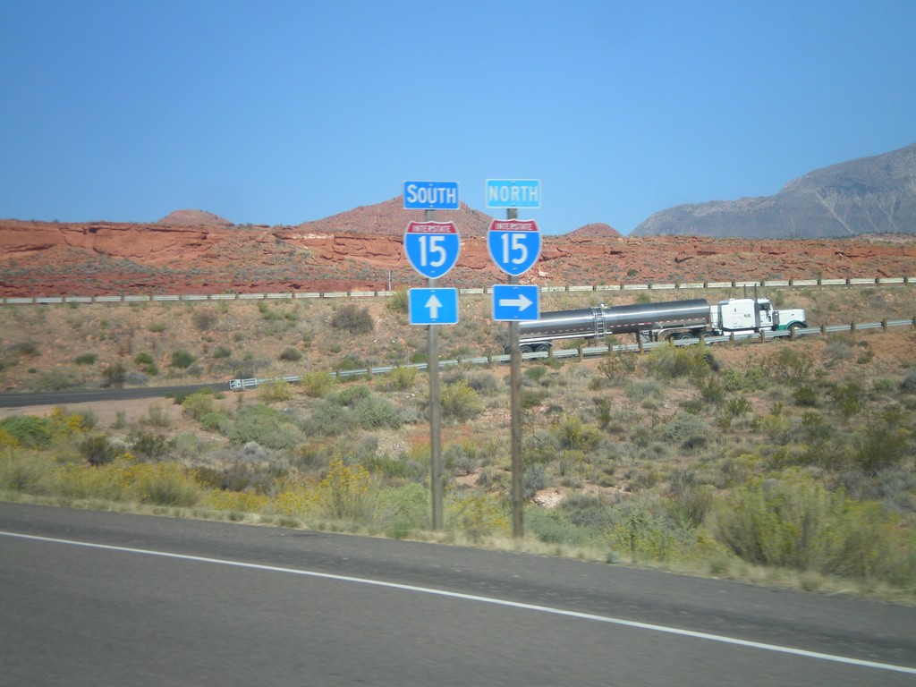
End UT-9 West at I-15
End UT-9 West at I-15 onramp. Turn left for I-15 north; continue ahead for I-15 south.
Taken 10-14-2011

 Washington
 County
Utah
United States
Washington
Washington County
Utah
United States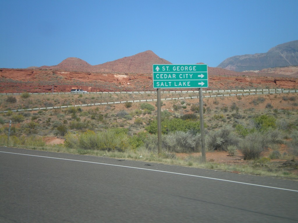
End UT-9 West at I-15
End UT-9 West at I-15. Use I-15 north for Cedar City and Salt Lake; use I-15 south for St. George.
Taken 10-14-2011

 Washington
 County
Utah
United States
Washington
Washington County
Utah
United States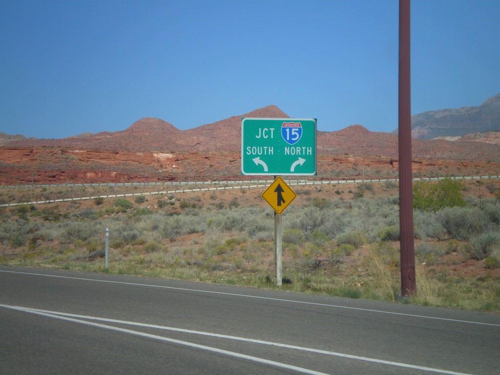
End UT-9 West at I-15
End UT-9 West at I-15. Use left lane for I-15 south; right lane for I-15 north.
Taken 10-14-2011

 Washington
 County
Utah
United States
Washington
Washington County
Utah
United States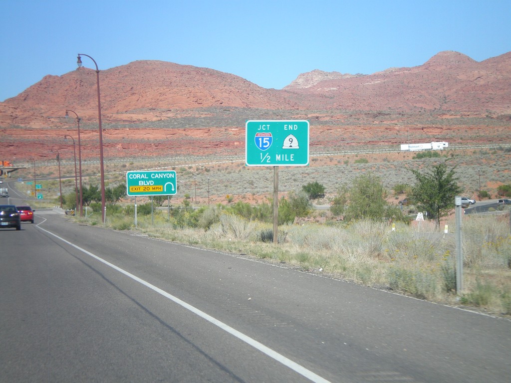
UT-9 West At Coral Canyon Blvd.
UT-9 West At Coral Canyon Blvd interchange. Approaching I-15 and the western end of UT-9.
Taken 10-14-2011

 Washington
 County
Utah
United States
Washington
Washington County
Utah
United States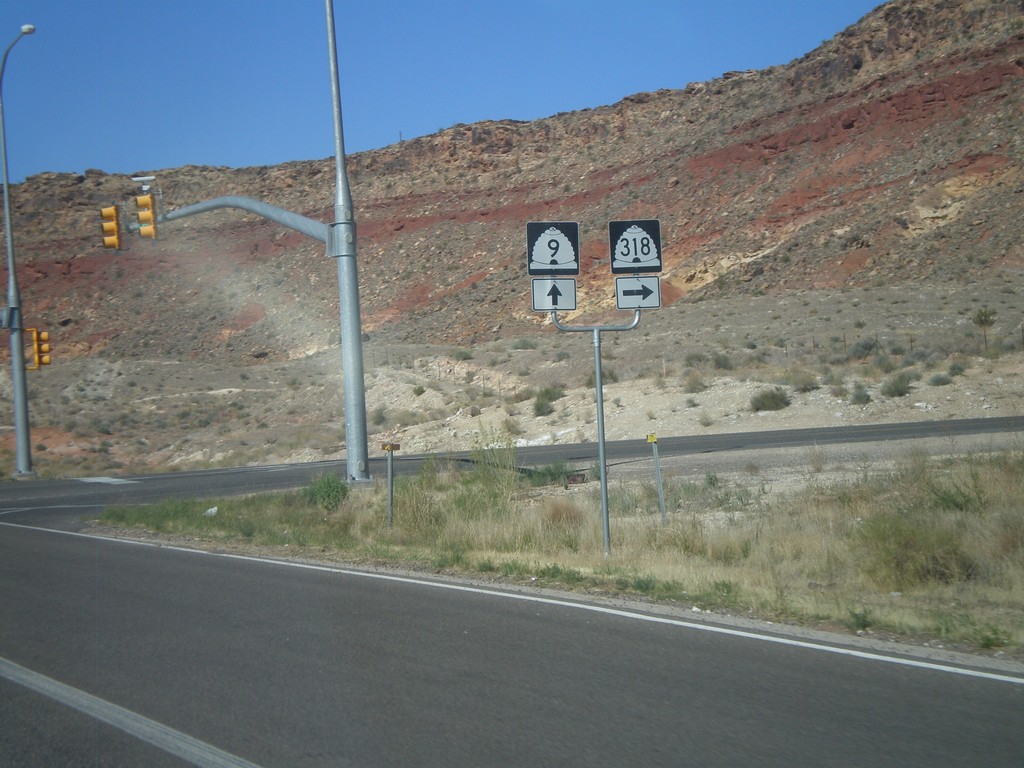
UT-9 West at UT-318
UT-9 west at UT-318 in Hurricane.
Taken 10-14-2011

 Hurricane
Washington County
Utah
United States