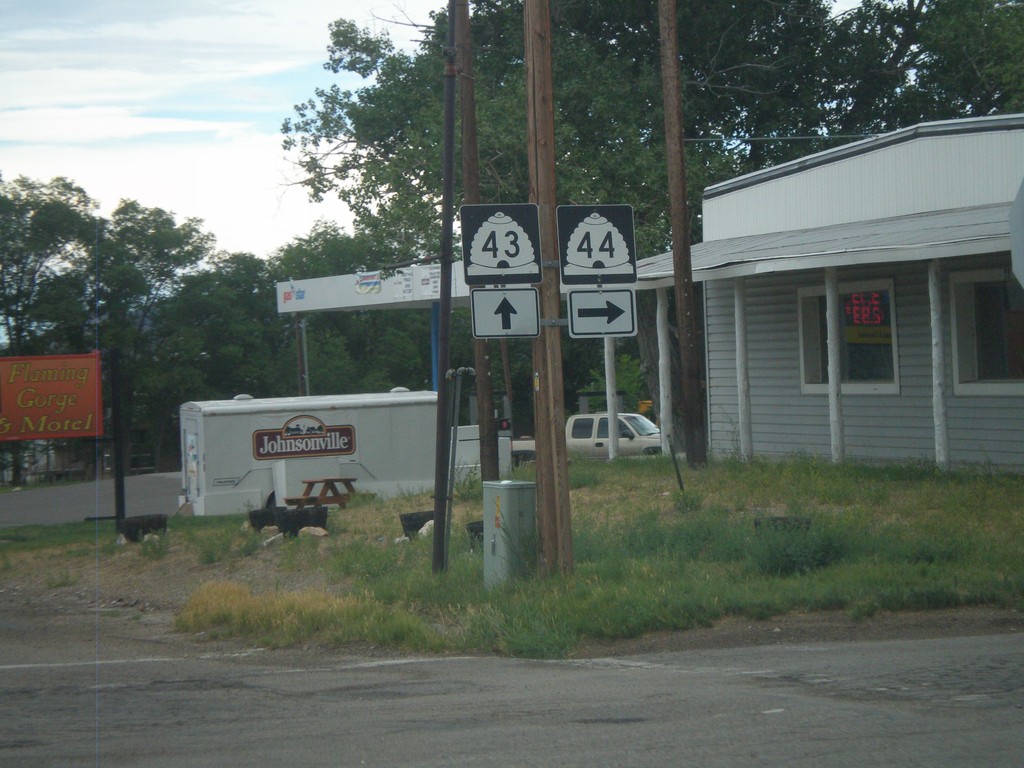
Signs From Utah
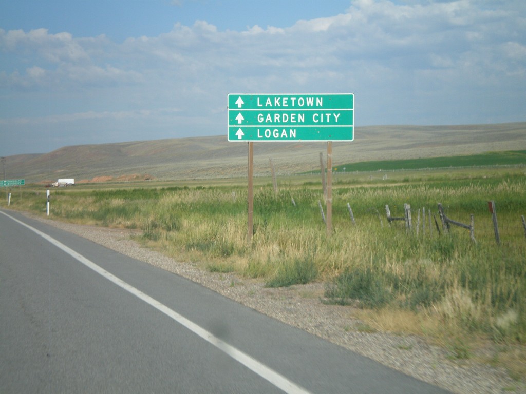
UT-30 West Approaching UT-16
UT-30 west approaching UT-16. Use UT-30 west for Laketown, Garden City, and Logan.
Taken 08-02-2010

 Randolph
Rich County
Utah
United States
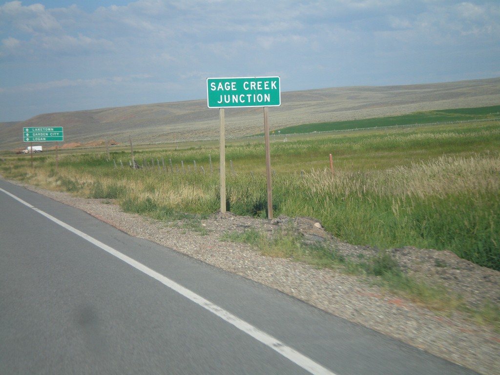
UT-30 West - Sage Creek Junction
UT-30 west at Sage Creek Junction. This is the name for the UT-30/UT-16 junction.
Taken 08-02-2010

 Randolph
Rich County
Utah
United States
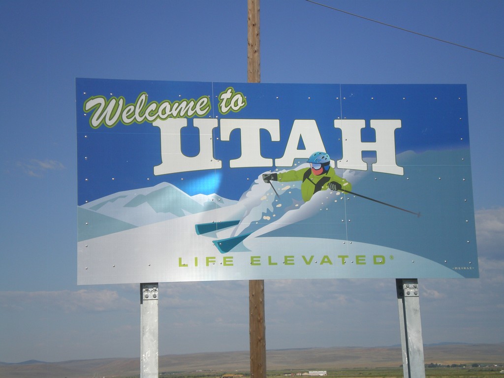
Welcome To Utah on UT-30 West
Welcome to Utah on UT-30 west at the Utah-Wyoming Border. This sign is part of a new series of welcome signs for Utah, in which each region has a unique welcome sign.
Taken 08-02-2010
 Randolph
Rich County
Utah
United States
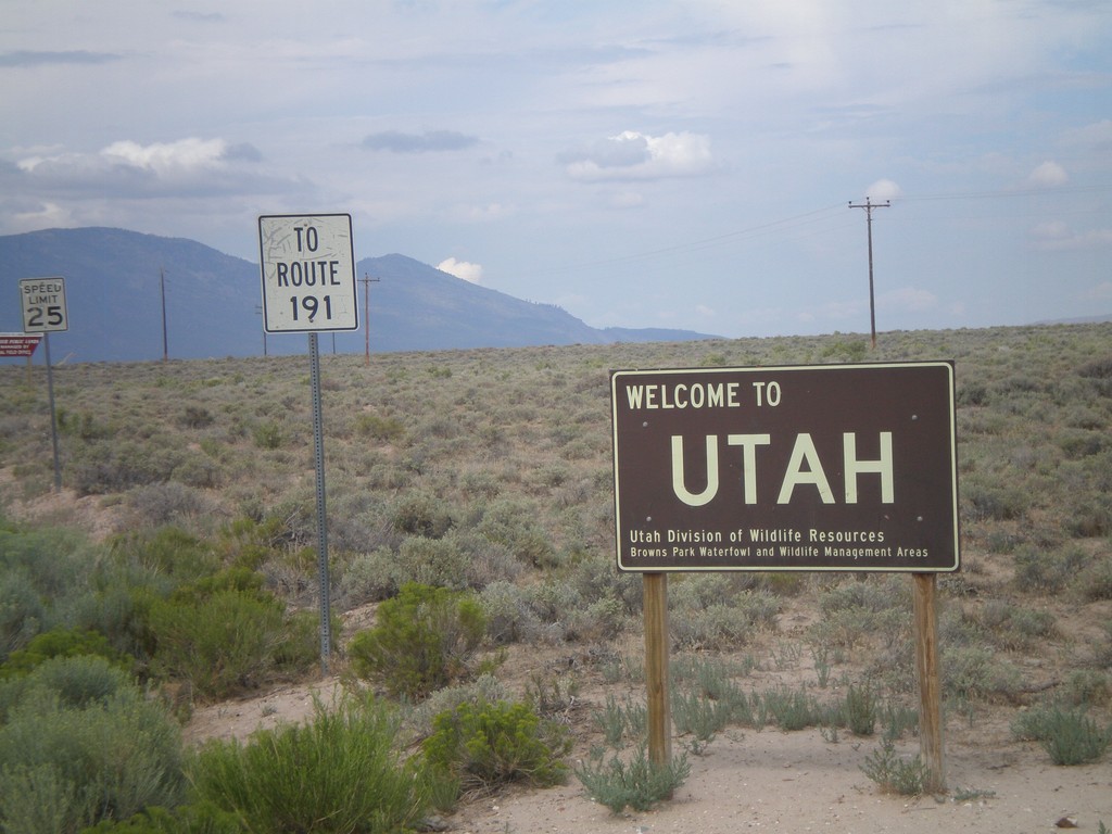
Welcome To Utah - Browns Park
Welcome to Utah on CH-1364 (Browns Park Road). This welcome sign was posted by the Utah Division of Wildlife Resources. Continue west on Browns Park Road for US-191.
Taken 08-01-2010
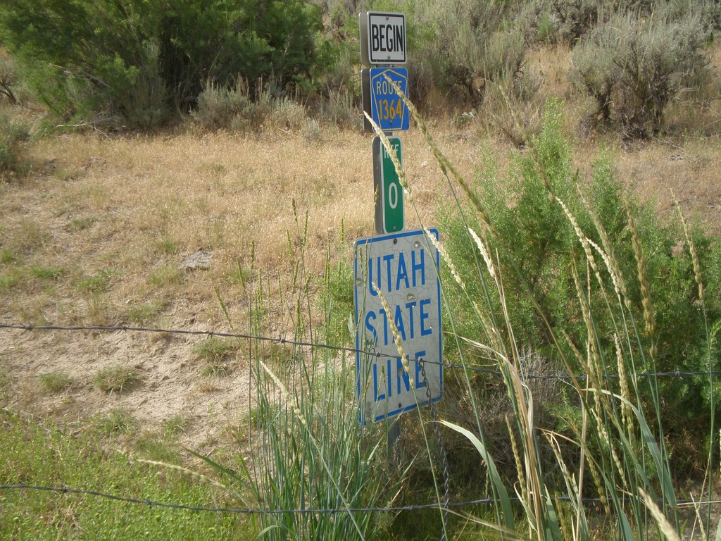
Utah State Line on CR-1364
Utah State Line on CR-1364 (Browns Park Road) at the Wyoming-Utah Border. There is a cattle guard marking the state line.
Taken 08-01-2010
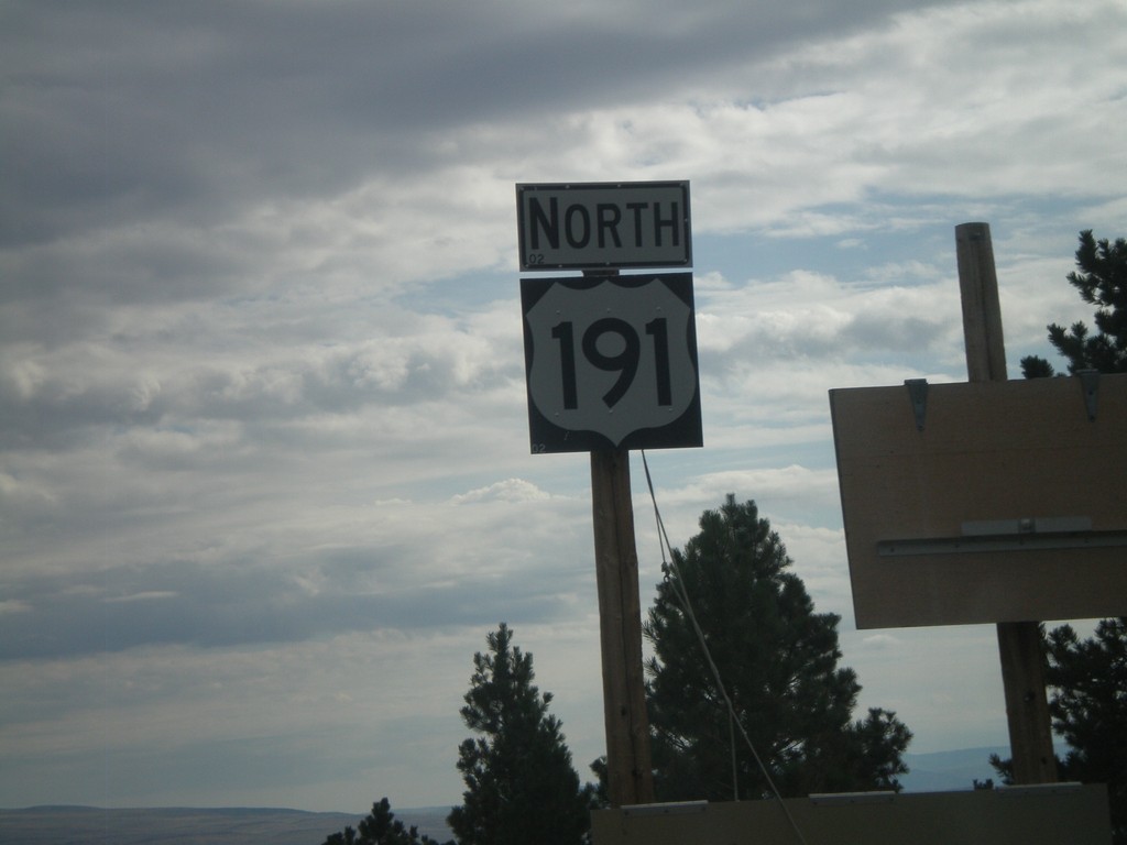
US-191 North
US-191 north just north of UT-44. Folded up sign to the right is a winter road warning for the Wyoming stretch of US-191.
Taken 08-01-2010
 Dutch John
Daggett County
Utah
United States
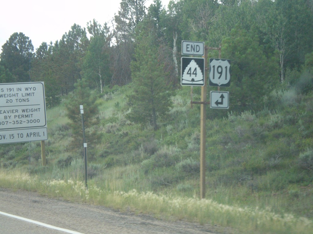
End UT-44 East at US-191
End UT-44 east at US-191.
Taken 08-01-2010

 Dutch John
Daggett County
Utah
United States
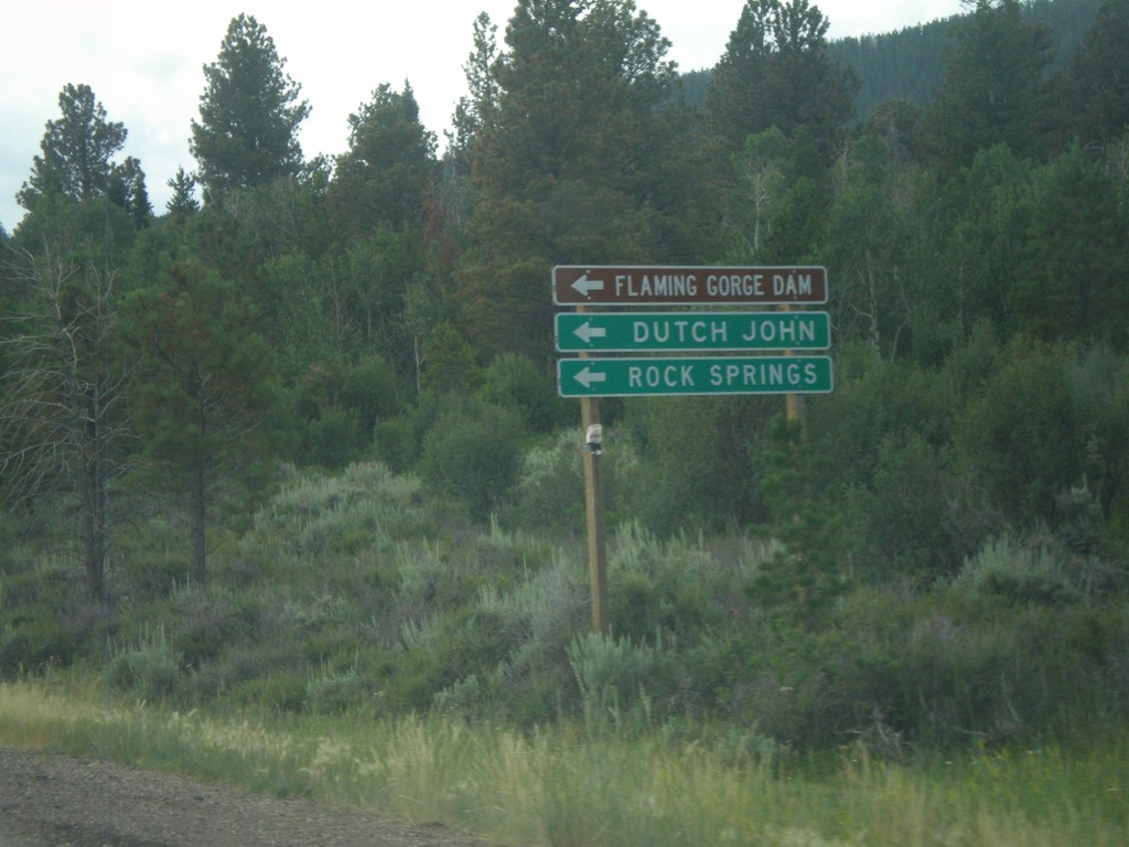
UT-44 East Approaching US-191
UT-44 east approaching US-191. Use US-191 north for Flaming Gorge Dam, Dutch John, and Rock Springs (Wyoming).
Taken 08-01-2010

 Dutch John
Daggett County
Utah
United States
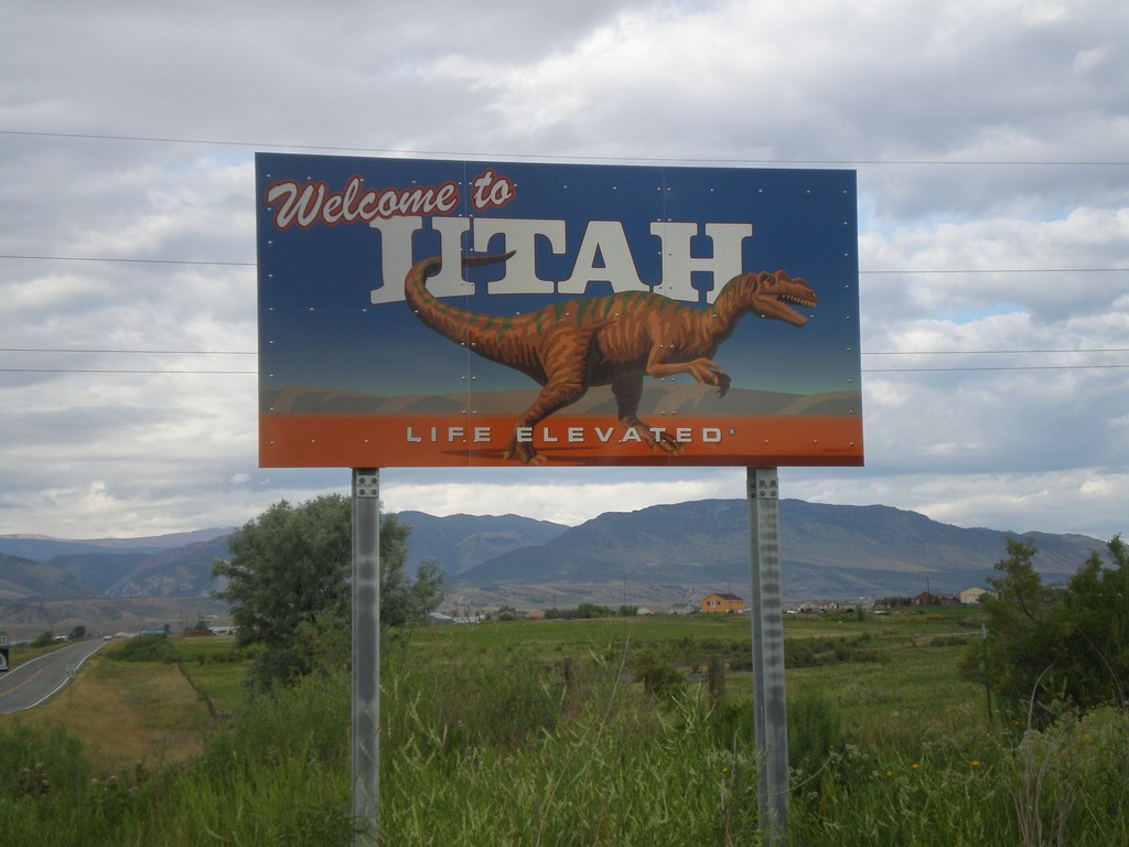
Welcome To Utah on UT-43 West
Welcome to Utah on UT-43 West. The new Utah welcome signs have a different logo for each region of the State. The logo in this region is a Dinosaur. Taken at the Utah-Wyoming State Line.
Taken 08-01-2010
 Manila
Sweetwater County
Utah
United States