Signs From Utah
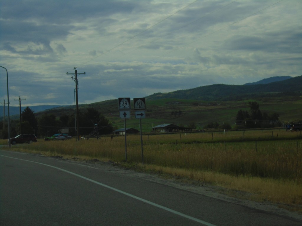
UT-39 East At UT-167 South
UT-39 East at UT-167 South in Weber County.
Taken 08-03-2019

 Huntsville
Weber County
Utah
United States
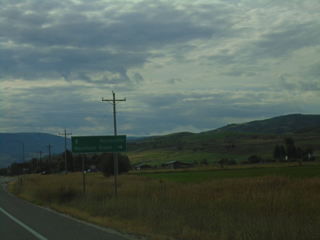
UT-39 East Approaching UT-167
UT-39 East approaching UT-167 in Weber County. Turn right for UT-167 South to Mountain Green. Continue east on UT-39 for Huntsville.
Taken 08-03-2019

 Huntsville
Weber County
Utah
United States
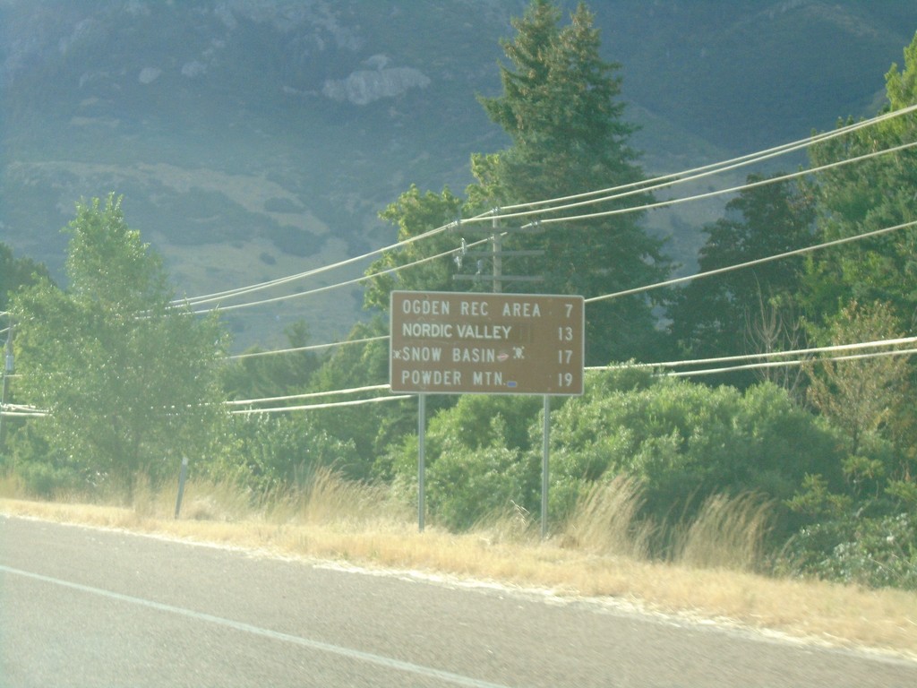
UT-39 East - Ski Areas
Distance to Ski Areas on UT-39 East. Distance to Ogden Recreation Area, Nordic Valley, Snow Basin, and Powder Mountain.
Taken 08-03-2019
 Ogden
Weber County
Utah
United States
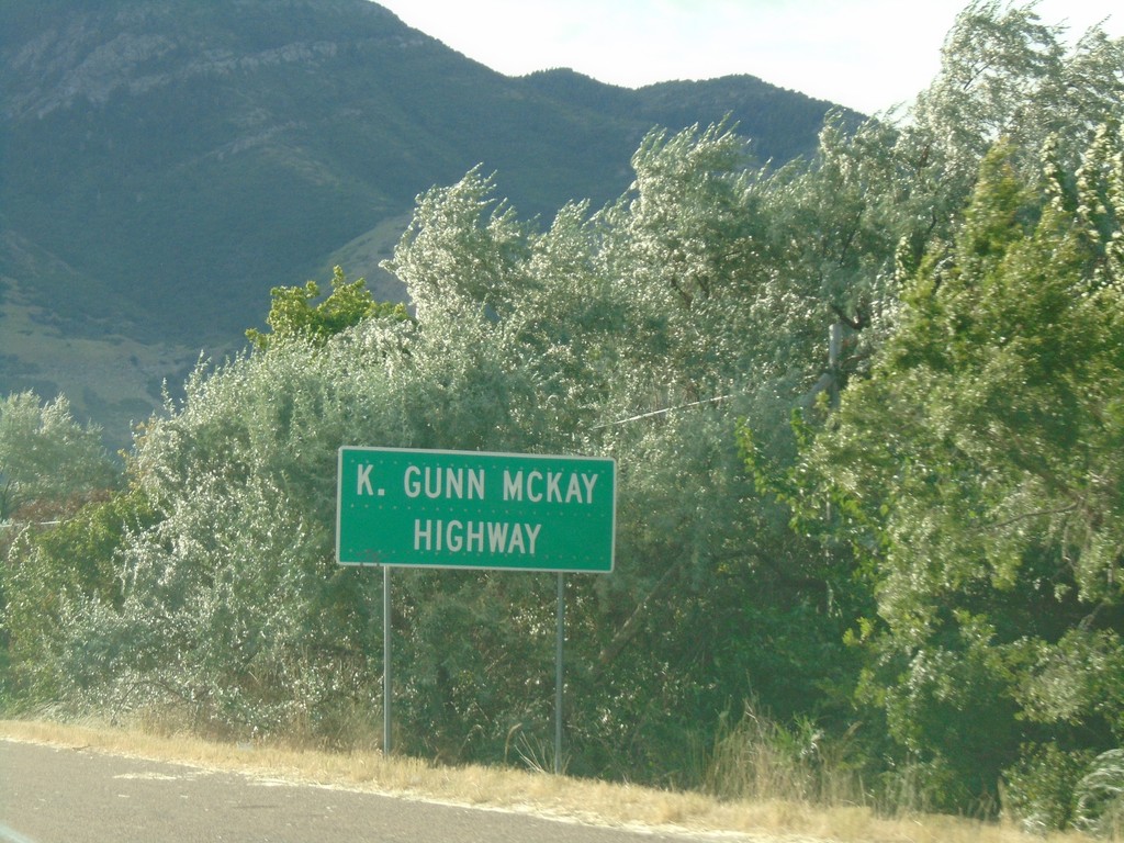
UT-39 East - K. Gunn McKay Highway
UT-39 East is called K. Gunn McKay Highway through Ogden Canyon up to Huntsville.
Taken 08-03-2019
 Ogden
Weber County
Utah
United States
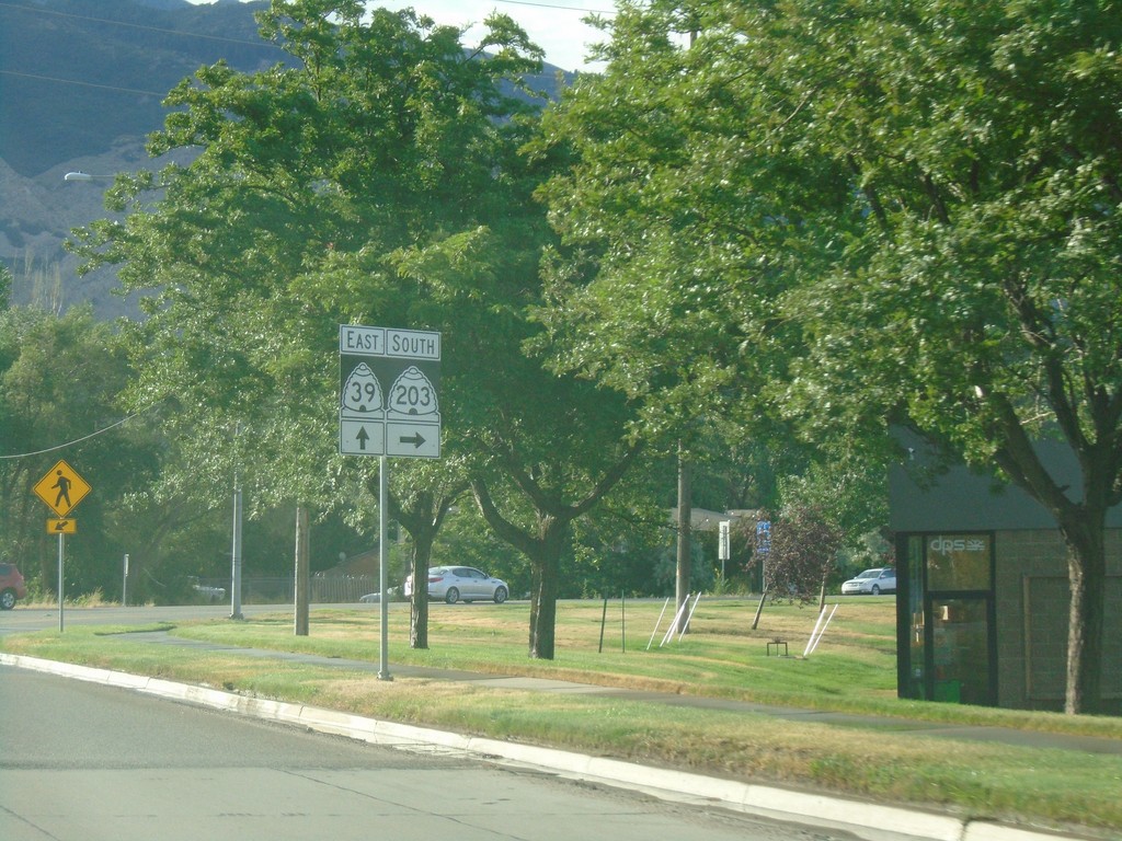
UT-39 East At UT-203
UT-39 East at UT-203 in Ogden.
Taken 08-03-2019

 South Weber
Weber County
Utah
United States
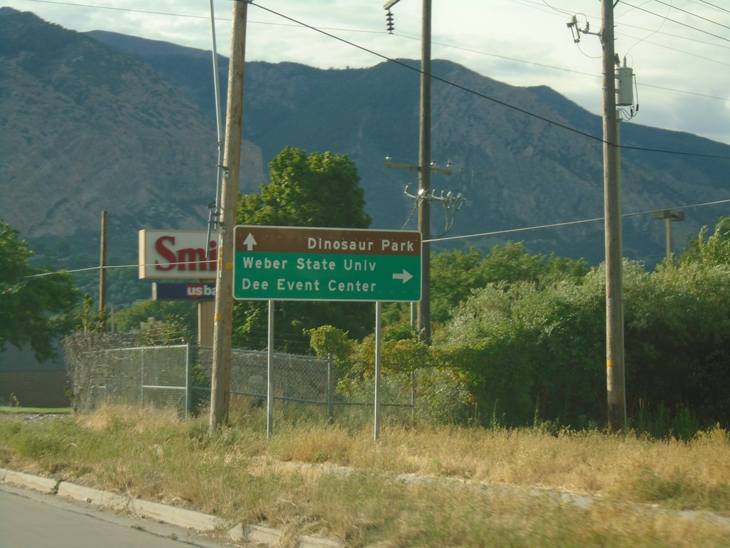
UT-39 East Approaching UT-203
UT-39 East approaching UT-203 in Ogden. Turn right on UT-203 for Weber State University and Dee Event Center. Continue east on UT-39 for Dinosaur Park.
Taken 08-03-2019

 South Weber
Weber County
Utah
United States
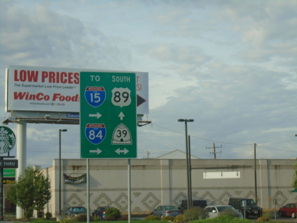
US-89 South at UT-39
US-89 South at UT-39 in Ogden. Use UT-39 west for I-84 and I-15.
Taken 08-03-2019


 Ogden
Weber County
Utah
United States
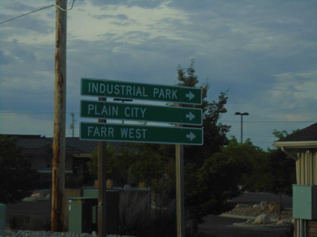
US-89 South at UT-134
US-89 South at UT-134. Use UT-134 west for Industrial Park, Farr West, and Plain City.
Taken 08-03-2019

 Pleasant View
Weber County
Utah
United States
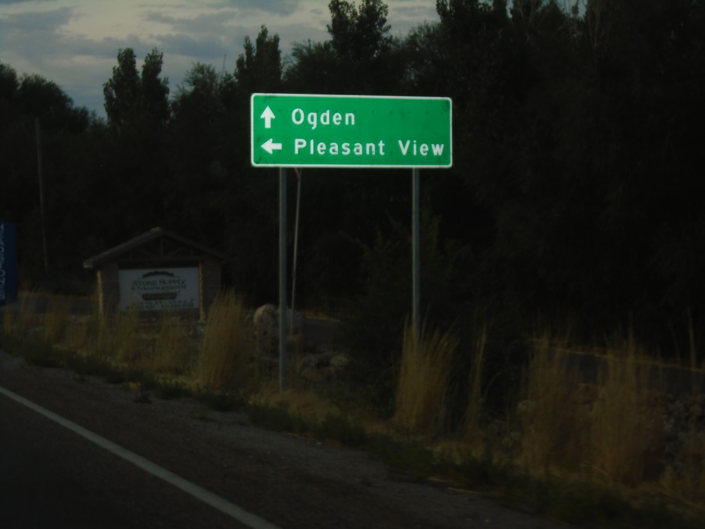
US-89 South at Pleasant View Drive
US-89 South at Pleasant View Drive. Turn left for Pleasant View; continue south on US-89 for Ogden.
Taken 08-03-2019
 Pleasant View
Weber County
Utah
United States
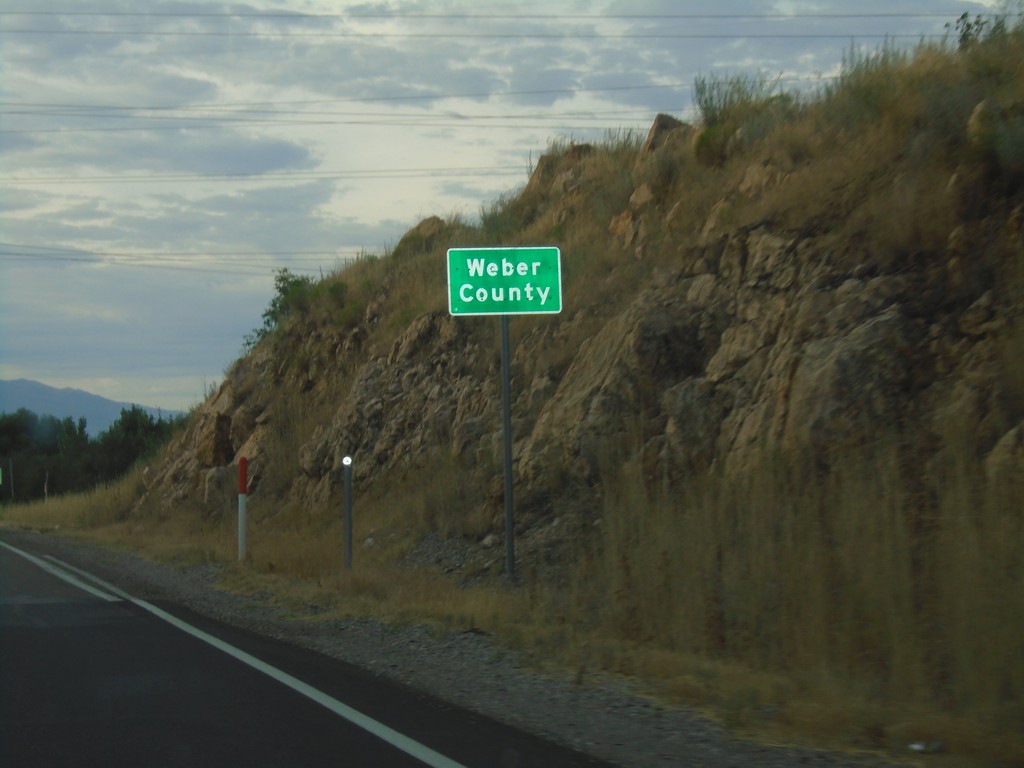
US-89 South - Weber County
Weber County on US-89 south.
Taken 08-03-2019
 Willard
Weber County
Utah
United States