Signs From Utah
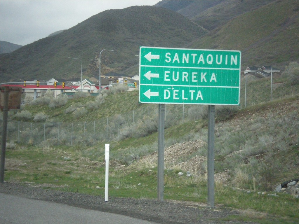
I-15 North - Exit 244 Offramp at US-6 West
I-15 North - Exit 244 Offramp at US-6 West. Turn left on US-6 west for Santaquin, Eureka, and Delta.
Taken 03-31-2017

 Santaquin
Utah County
Utah
United States
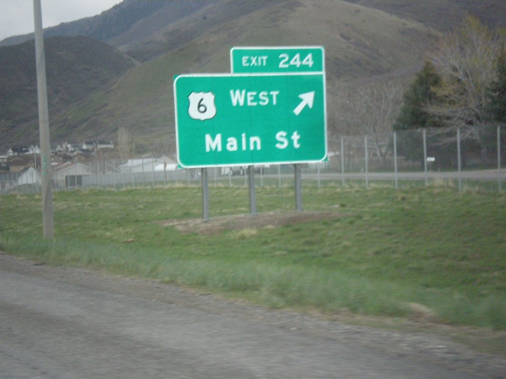
I-15 North - Exit 244
I-15 north at Exit 244 - US-6 West/Main St. US-6 joins I-15 northbound to Spanish Fork. This interchange used to be labeled US-6 West/Santaquin.
Taken 03-31-2017

 Santaquin
Utah County
Utah
United States
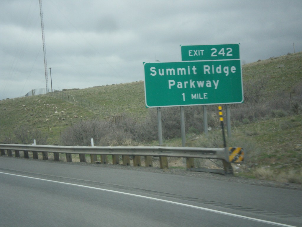
I-15 North - Exit 242
I-15 north approaching Exit 242 - Summit Ridge Parkway. This interchange was recently renamed from South Santaquin.
Taken 03-31-2017
 Mona
Utah County
Utah
United States
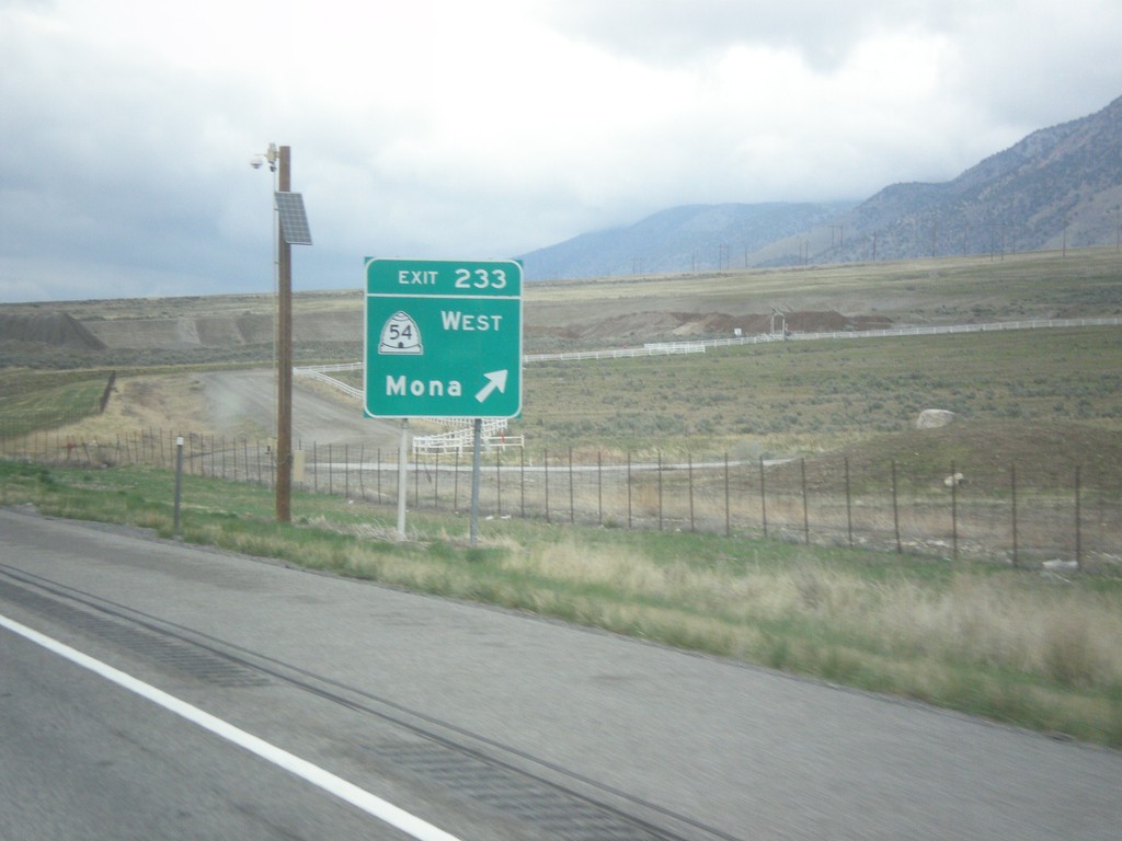
I-15 North - Exit 233
I-15 north at Exit 233 - UT-54 West/Mona.
Taken 03-31-2017

 Mona
Juab County
Utah
United States
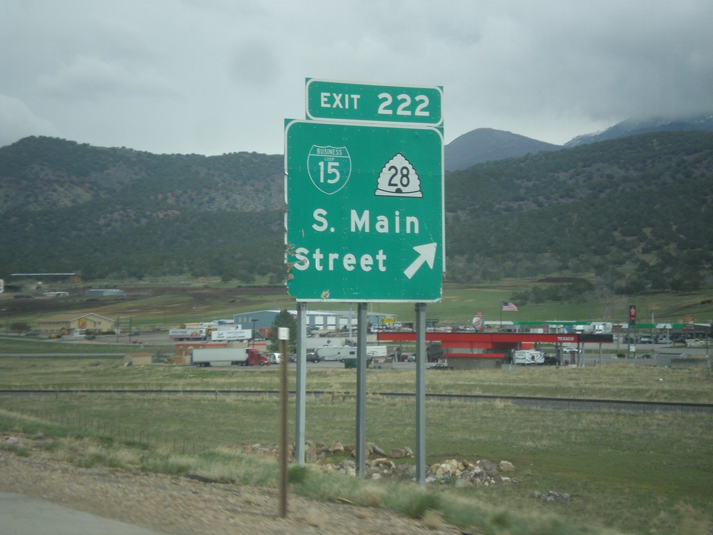
I-15 North - Exit 222
I-15 north at Exit 222 - BL-15/UT-28/S. Main St.
Taken 03-31-2017


 Nephi
Juab County
Utah
United States
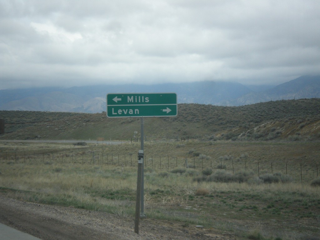
I-15 North - Exit 207 Offramp at UT-78
I-15 north on Exit 207 offramp - UT-78 jct. Turn left for Mills; turn right for UT-78 to Levan.
Taken 03-31-2017

 Levan
Juab County
Utah
United States
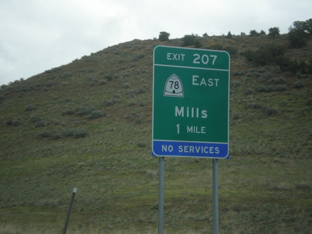
I-15 North - Exit 207
I-15 north approaching Exit 207 - UT-78 East/Mills.
Taken 03-31-2017

 Levan
Juab County
Utah
United States
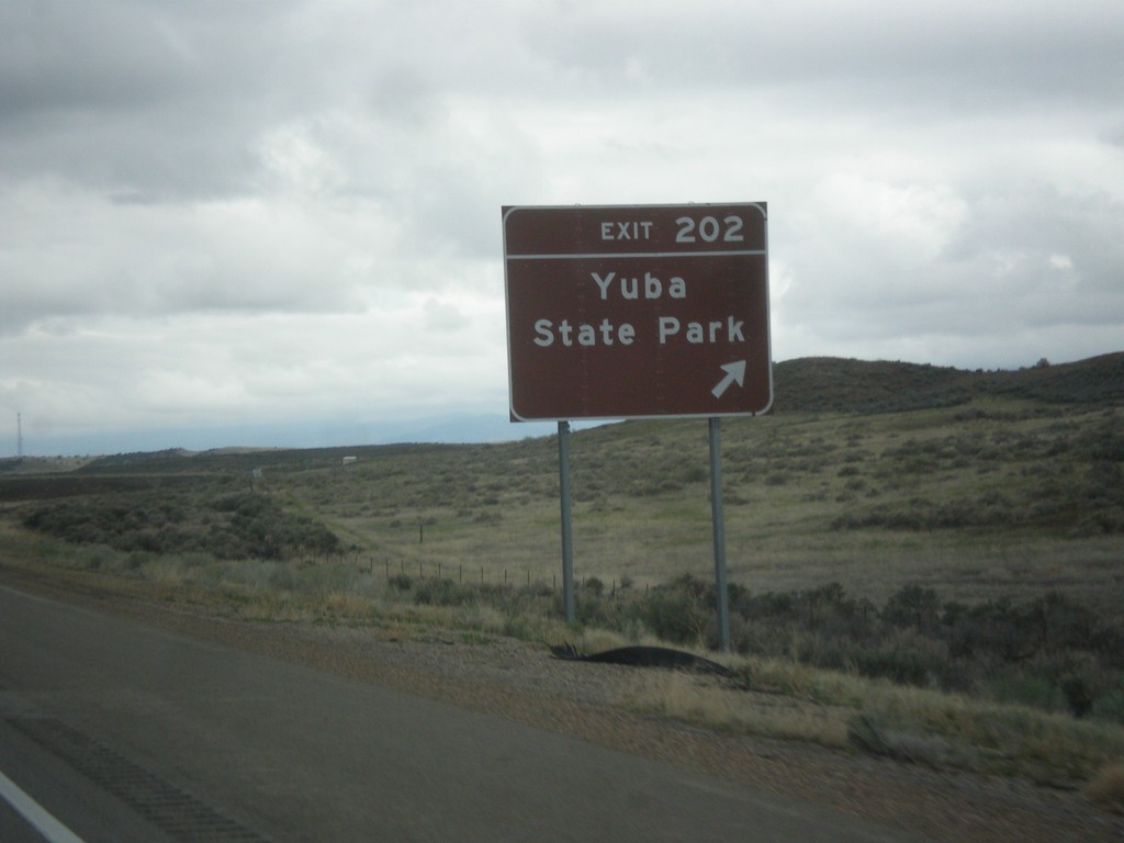
I-15 North - Exit 202
I-15 north at Exit 202 - Yuba State Park.
Taken 03-31-2017
 Levan
Juab County
Utah
United States
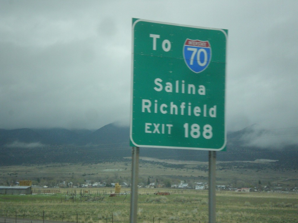
I-15 North - Use Exit 188 For I-70
I-15 North approaching Exit 188. Use Exit 188 For I-70 to Salina and Richfield, via US-50.
Taken 03-31-2017


 Scipio
Millard County
Utah
United States
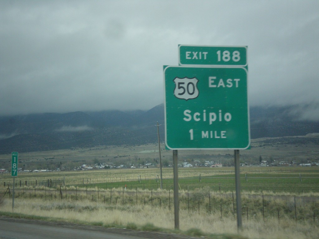
I-15 North - Exit 188
I-15 north at Exit 188 - US-50 East/Scipio. US-50 leaves I-15 north here.
Taken 03-31-2017

 Scipio
Millard County
Utah
United States