Signs From Utah
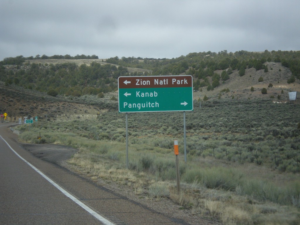
UT-12 West Approaching US-89
UT-12 west approaching US-89. Use US-89 south for Kanab and Zion National Park; use US-89 north for Panguitch.
Taken 03-31-2017

 Panguitch
Garfield County
Utah
United States
Panguitch
Garfield County
Utah
United States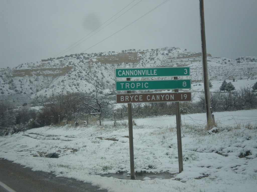
UT-12 West - Distance Marker
Distance marker on UT-12 west. Distance to Cannonville, Tropic, and Bryce Canyon (National Park).
Taken 03-31-2017
Henrieville
Garfield County
Utah
United States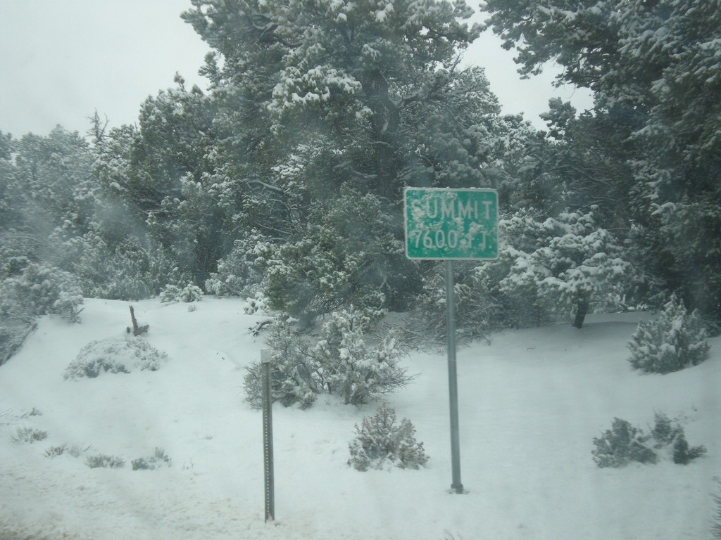
UT-12 West - Summit
Summit - Elevation 7600 Feet on UT-12 west in the Dixie National Forest.
Taken 03-31-2017
Henrieville
Garfield County
Utah
United States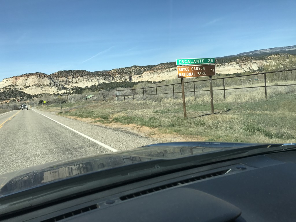
UT-12 West - Distance Marker
Distance marker on UT-12 west. Distance to Escalante, and Bryce Canyon National Park.
Taken 03-29-2017
Boulder
Garfield County
Utah
United States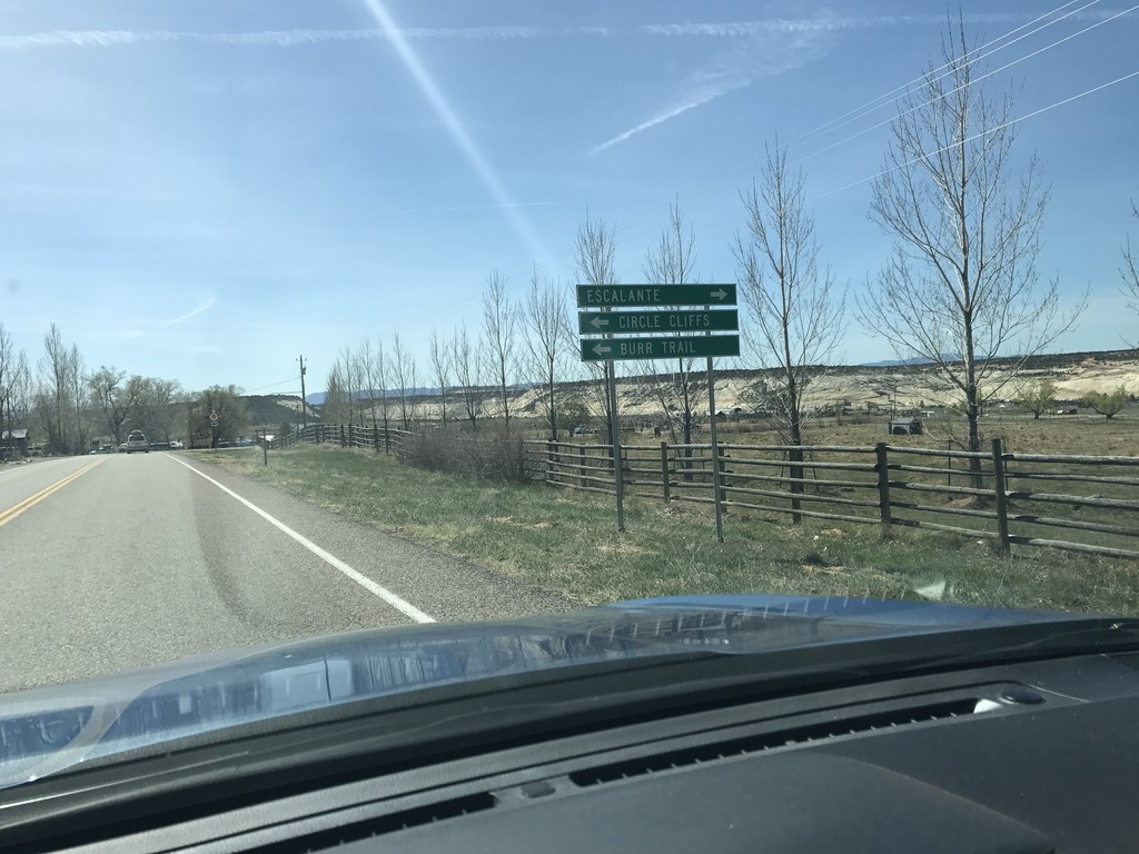
UT-12 West - Burr Trail Jct.
UT-12 West at Burr Trail Jct. Turn left for the Burr Trail to the Circle Cliffs. Turn right to continue west on UT-12.
Taken 03-29-2017
Boulder
Garfield County
Utah
United States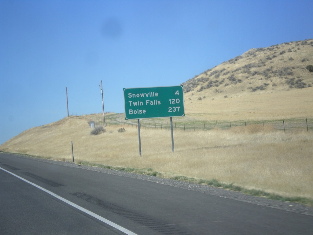
I-84 West - Distance Marker
Distance marker on I-84 west. Distance to Snowville, Twin Falls (ID), and Boise(ID).
Taken 10-09-2016
 Snowville
Box Elder County
Utah
United States
Snowville
Box Elder County
Utah
United States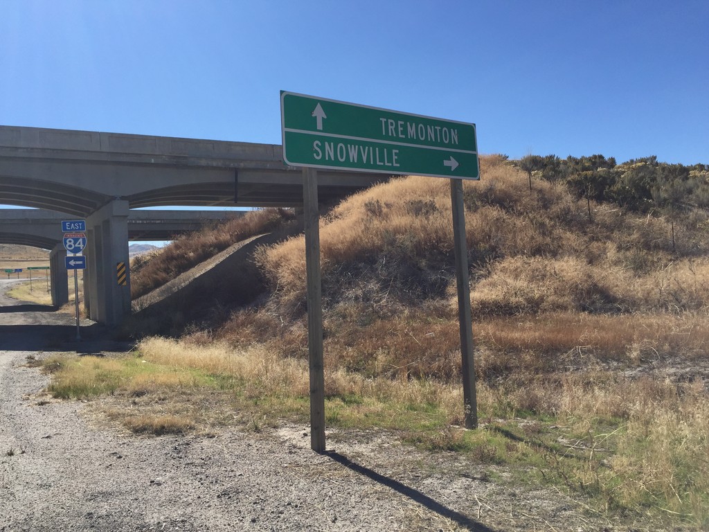
I-84 Onramp at Blue Creek IC
I-84 Onramp at Blue Creek IC in Box Elder County. Use I-84 west to Snowville; I-84 east to Tremonton.
Taken 10-09-2016
Howell
Box Elder County
Utah
United States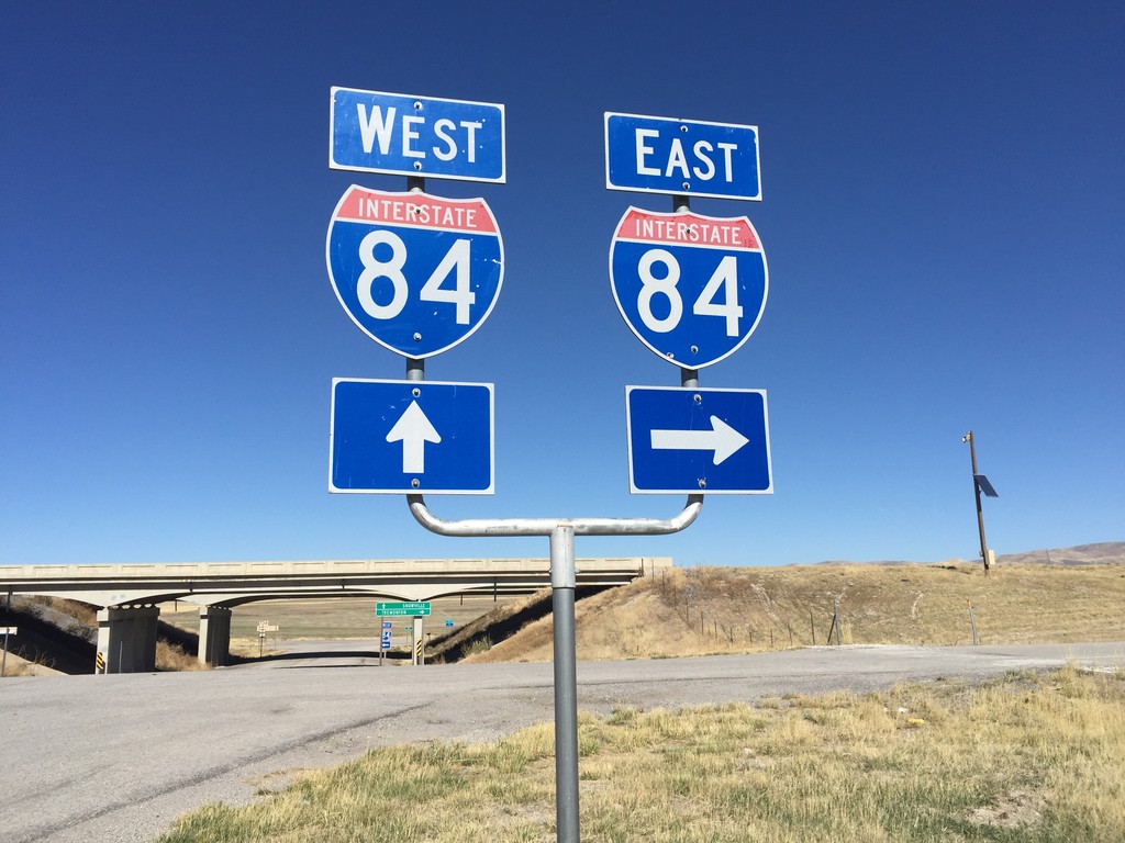
Blue Creek Frontage Road at I-84
Blue Creek Frontage Road at I-84 (Exit 20) in Box Elder County.
Taken 10-09-2016
Howell
Box Elder County
Utah
United States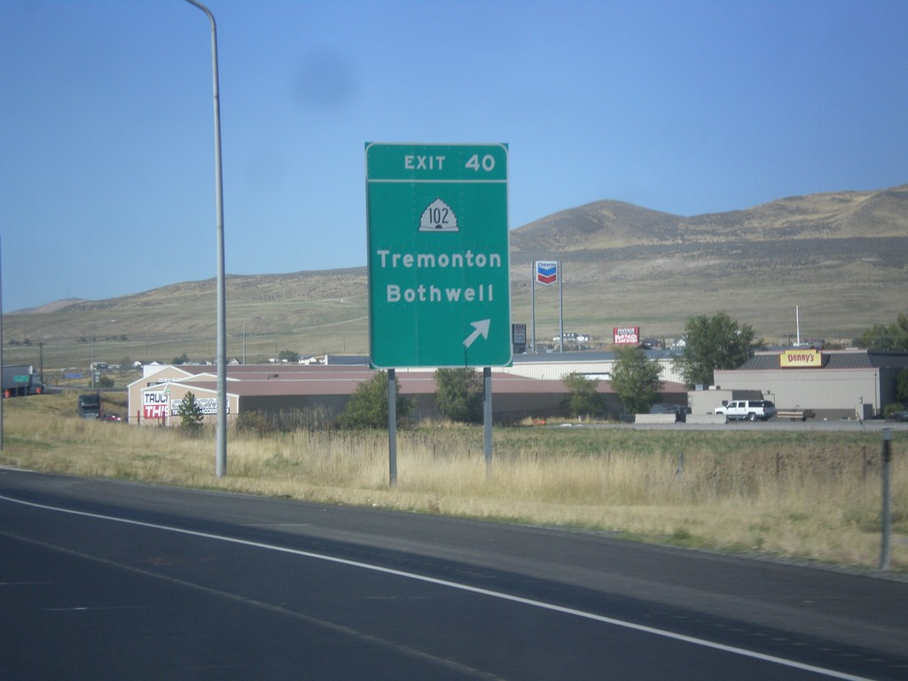
I-84 West - Exit 40
I-84 west at Exit 40 - UT-102/Tremonton/Bothwell.
Taken 10-09-2016
 Tremonton
Box Elder County
Utah
United States
Tremonton
Box Elder County
Utah
United States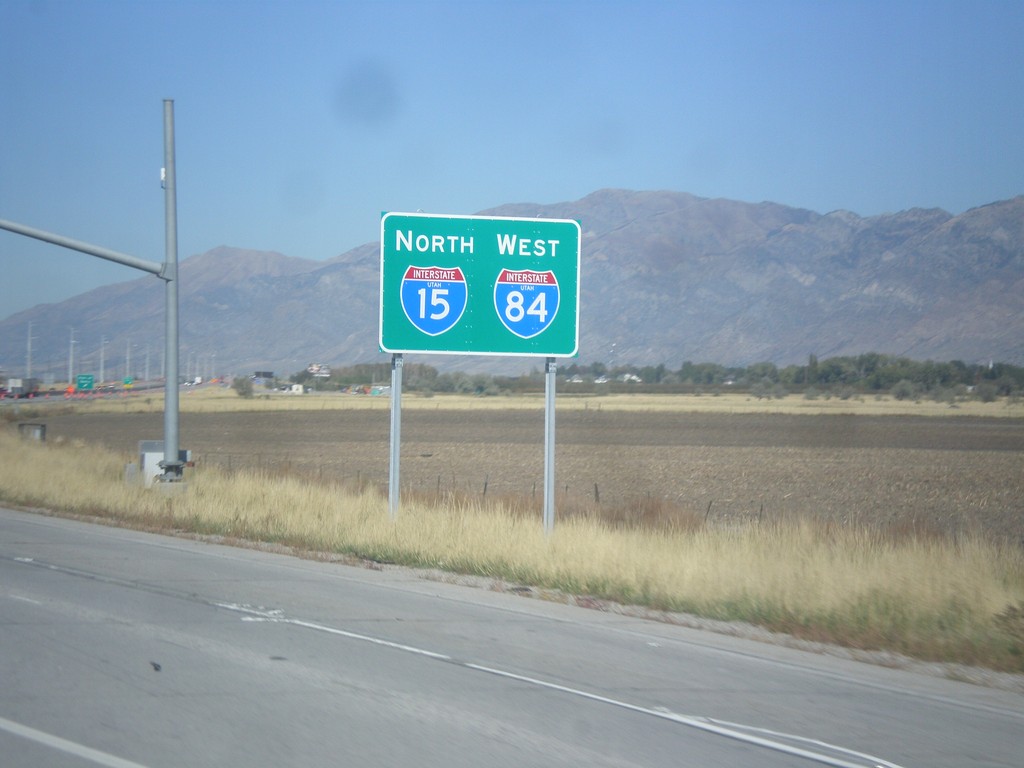
I-15 North/I-84 West - Willard
I-15 North/I-84 West in Willard.
Taken 10-09-2016
 Willard
Box Elder County
Utah
United States
Willard
Box Elder County
Utah
United States