Signs From Utah
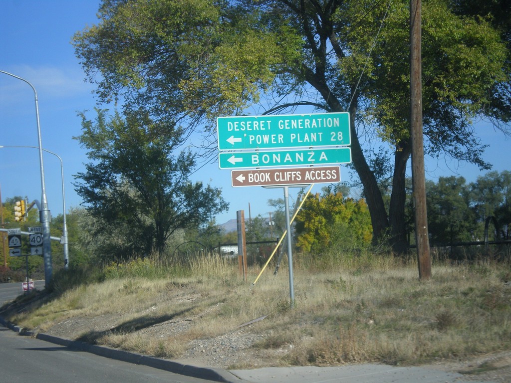
US-40 West at UT-45 Jct.
US-40 west at UT-45 south to Deseret Generation Power Plant, Bonanza, and Book Cliffs Access.
Taken 10-09-2016

 Naples
Uintah County
Utah
United States
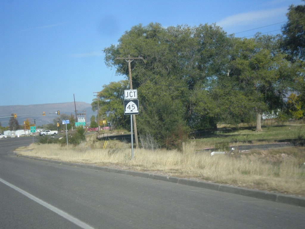
US-40 West Approaching UT-45
US-40 West approaching UT-45 in Naples.
Taken 10-09-2016

 Vernal
Uintah County
Utah
United States
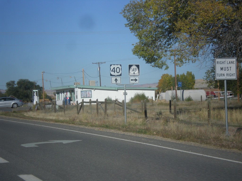
US-40 West at UT-149
US-40 West at UT-149 north to Dinosaur National Park.
Taken 10-09-2016

 Jensen
Uintah County
Utah
United States
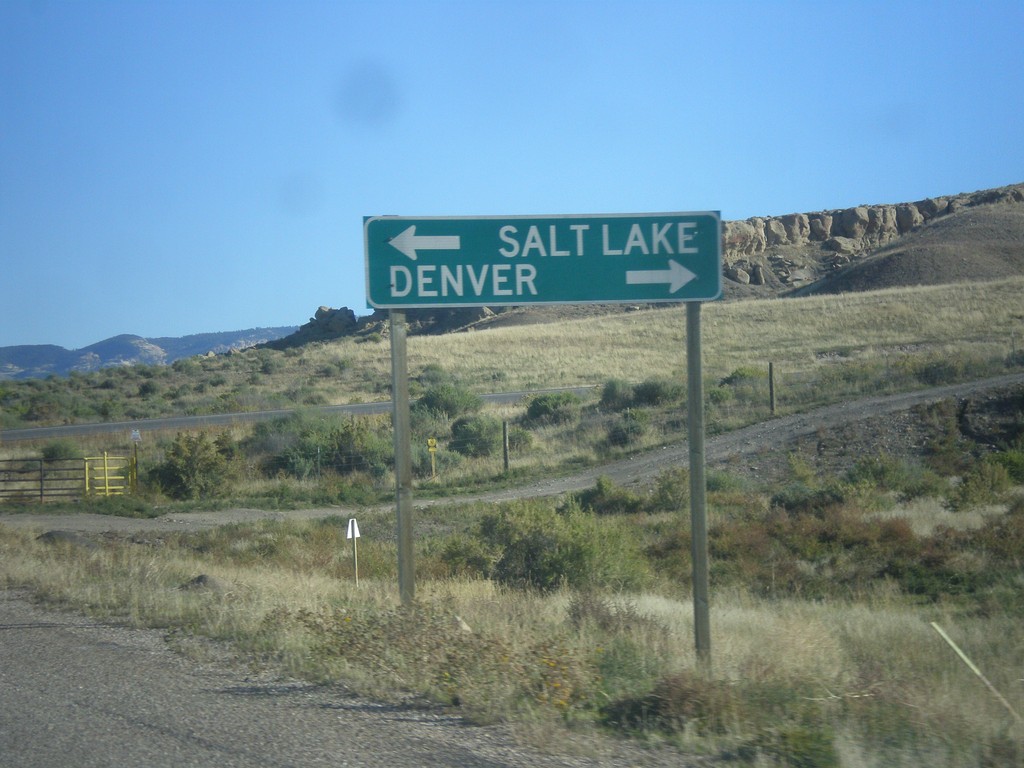
Redwash Road North at US-40
Redwash Road North at US-40 to Salt Lake City and Denver. This sign is odd in that destinations for far away locations are used on a county road.
Taken 10-09-2016
 Jensen
Uintah County
Utah
United States
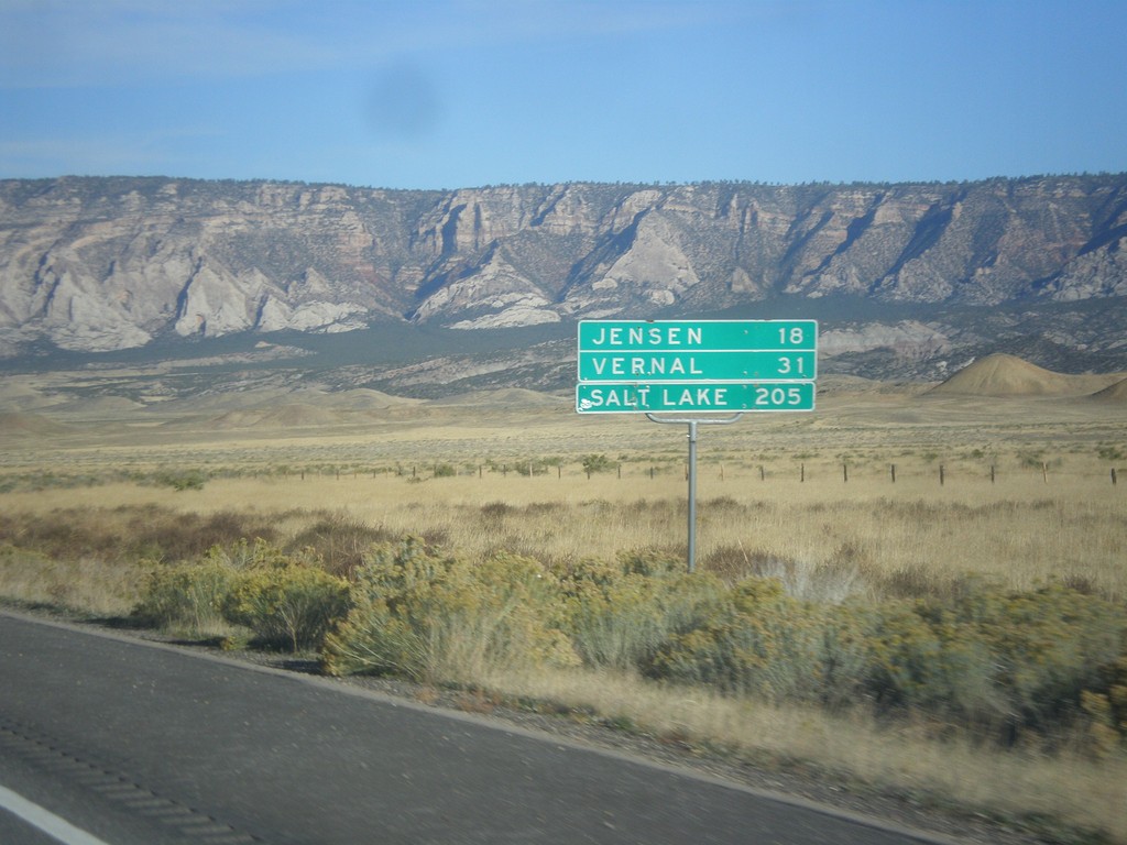
US-40 West - Distance Marker
Distance marker on US-40 west. Distance to Jensen, Vernal, and Salt Lake City. This is the first distance marker along US-40 in Utah.
Taken 10-09-2016
 Uintah County
Utah
United States
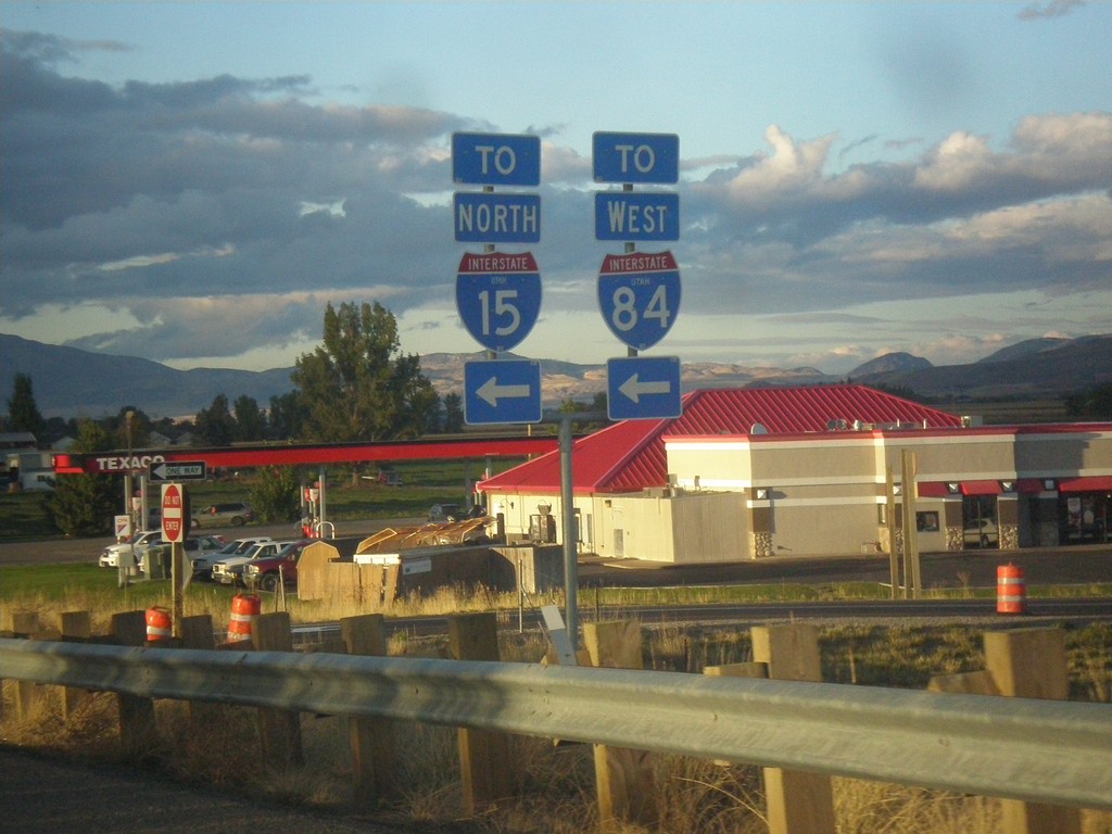
UT-13 North at I-15 North/I-84 West - Exit 376
UT-13 North at I-15 North/I-84 West (Exit 376) onramp. Interstate shields with the UTAH text are becoming more common in Utah. It appears that all new interstate shields contain the UTAH text - at least in the Salt Lake area.
Taken 10-06-2016


 Elwood
Box Elder County
Utah
United States
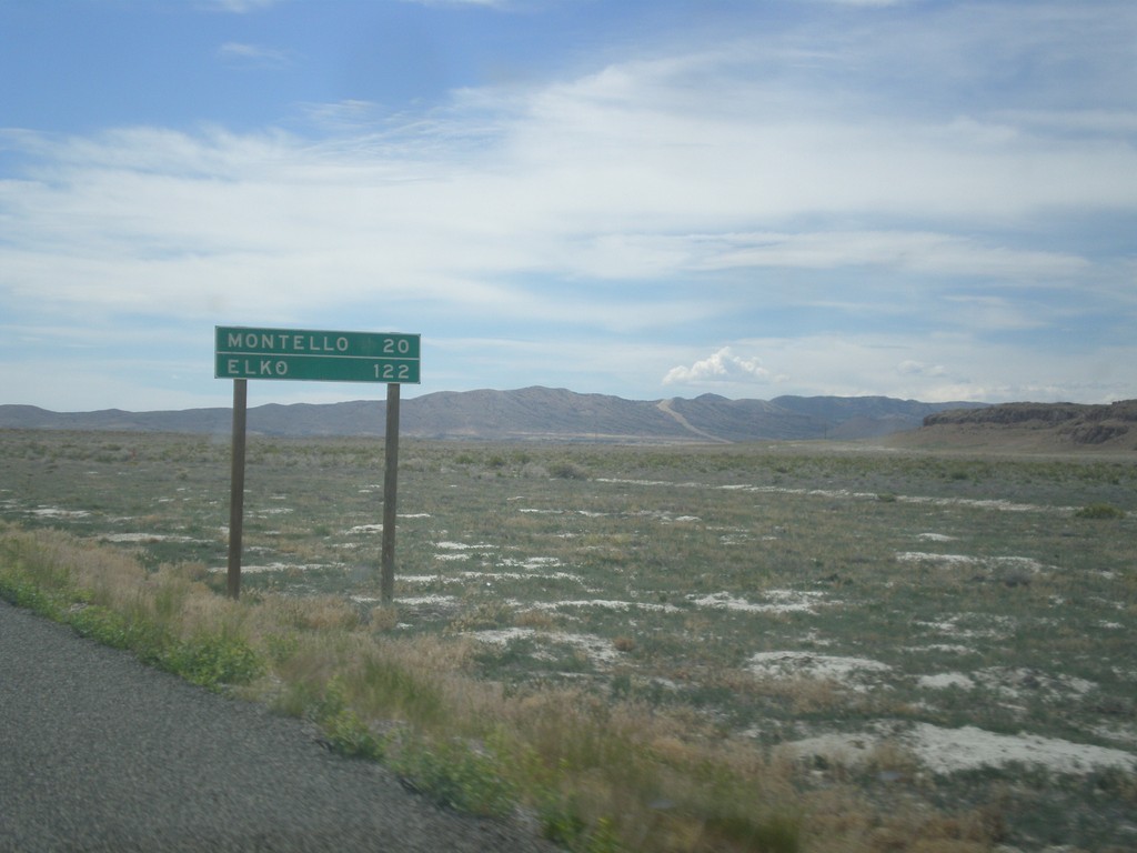
UT-30 West - Distance Marker
Distance marker on UT-30 west. Distance to Montello, and Elko. Both of those places are in Nevada.
Taken 06-21-2014
 Grouse Creek
Box Elder County
Utah
United States
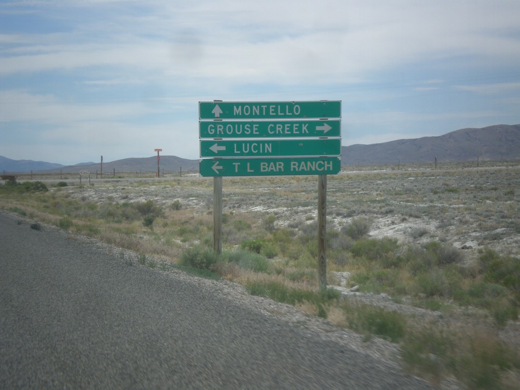
UT-30 West - Lucin and Grouse Creek Jct.
UT-30 west at Grouse Creek Road. Turn right for Grouse Creek, left for Lucin and T Bar Ranch. Continue west on UT-30 for Montello (Nevada).
Taken 06-21-2014
 Wendover
Box Elder County
Utah
United States
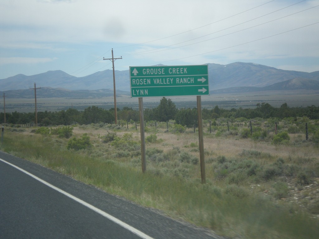
UT-30 West - Lynn Jct.
UT-30 west at junction to Lynn and Roden Valley Ranch. Continue west on UT-30 for Grouse Creek.
Taken 06-21-2014
 Park Valley
Box Elder County
Utah
United States
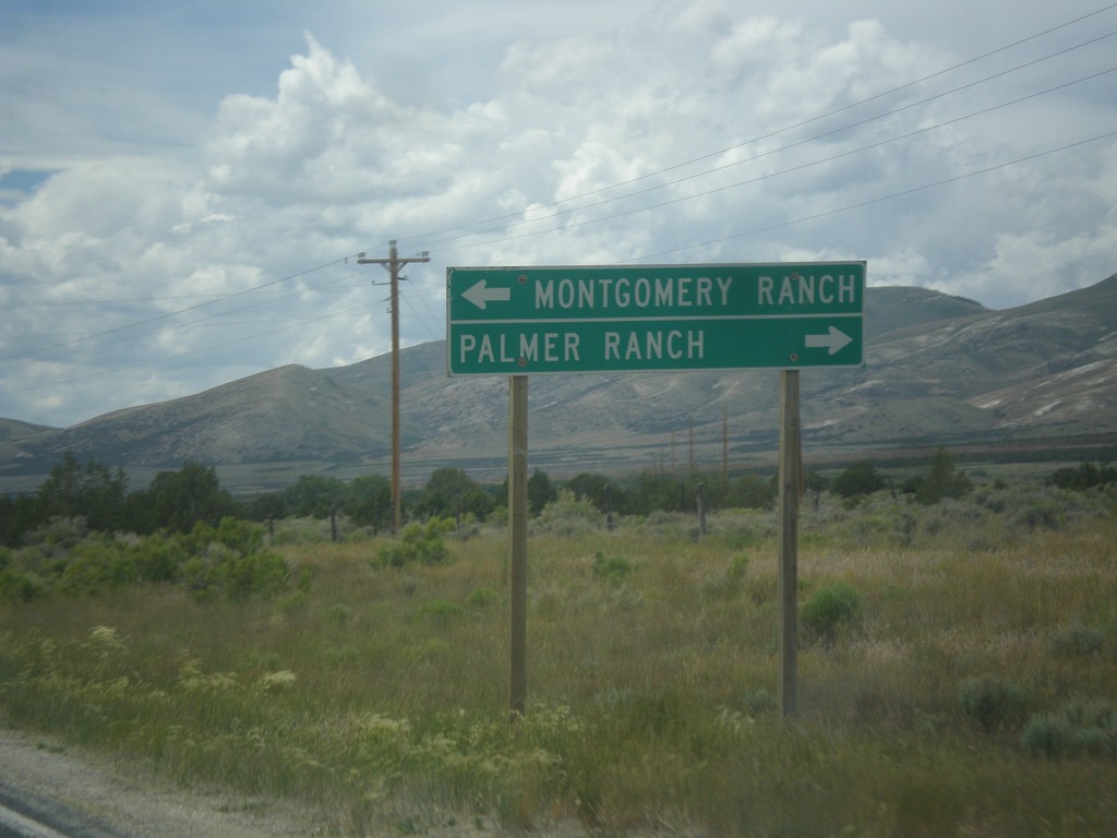
UT-30 West - Ranch Jct.
UT-30 west at junction to Montgomery Ranch and Palmer Ranch.
Taken 06-21-2014
 Park Valley
Box Elder County
Utah
United States